Take Hwy 126 east from Springfield. Turn right 0.4 miles east of the 45 mile marker toward Cougar Reservoir (Cougar Dam Road), NF-19. In 0.4 miles, turn slightly right, staying on NF-19. In another 2.8 miles, go right by the dam, staying on NF-19. After 6.25 miles, turn right onto S Fork Rd/NF-19. In 1.9 miles, take a right turn and cross the river, heading uphill on NF-1980. In 0.9 miles, turn left, staying on NF-1980. Stay on NF-1980 until you reach NF-247 (0.3 miles past the 7 mile marker). Go right onto NF-247 and follow it 2.4 miles to the top. Since leaving the NF-19/1980 junction, you have gone about 9.4 miles uphill on gravel roads when you reach the summit.
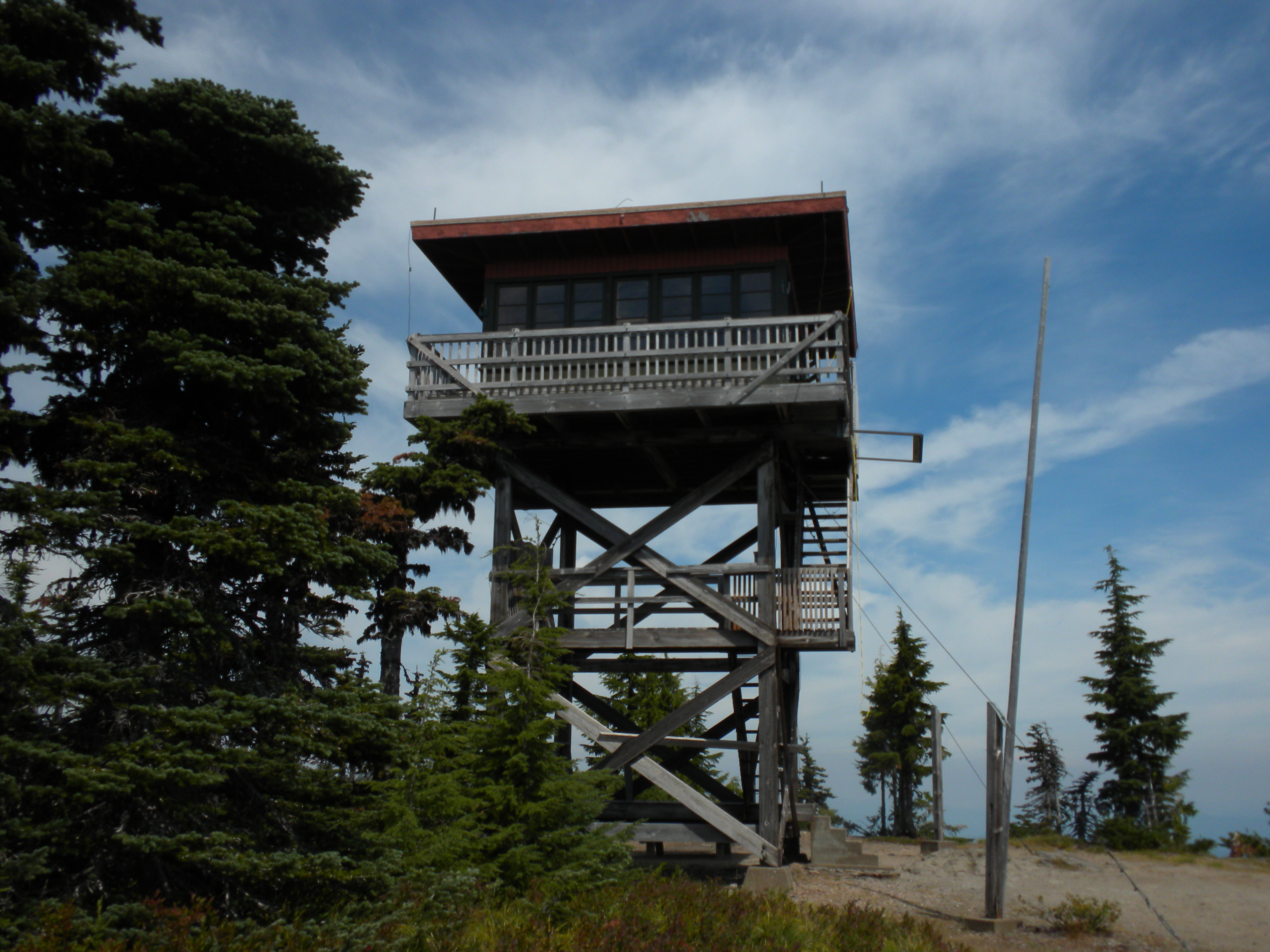
The drive up summit is spacious, with an elevated lookout tower on top. There are plenty of trees for cover and antenna supports. The lookout is rented out at this time of year. If it is occupied, please respect the renters privacy, but the summit is open for public day use.
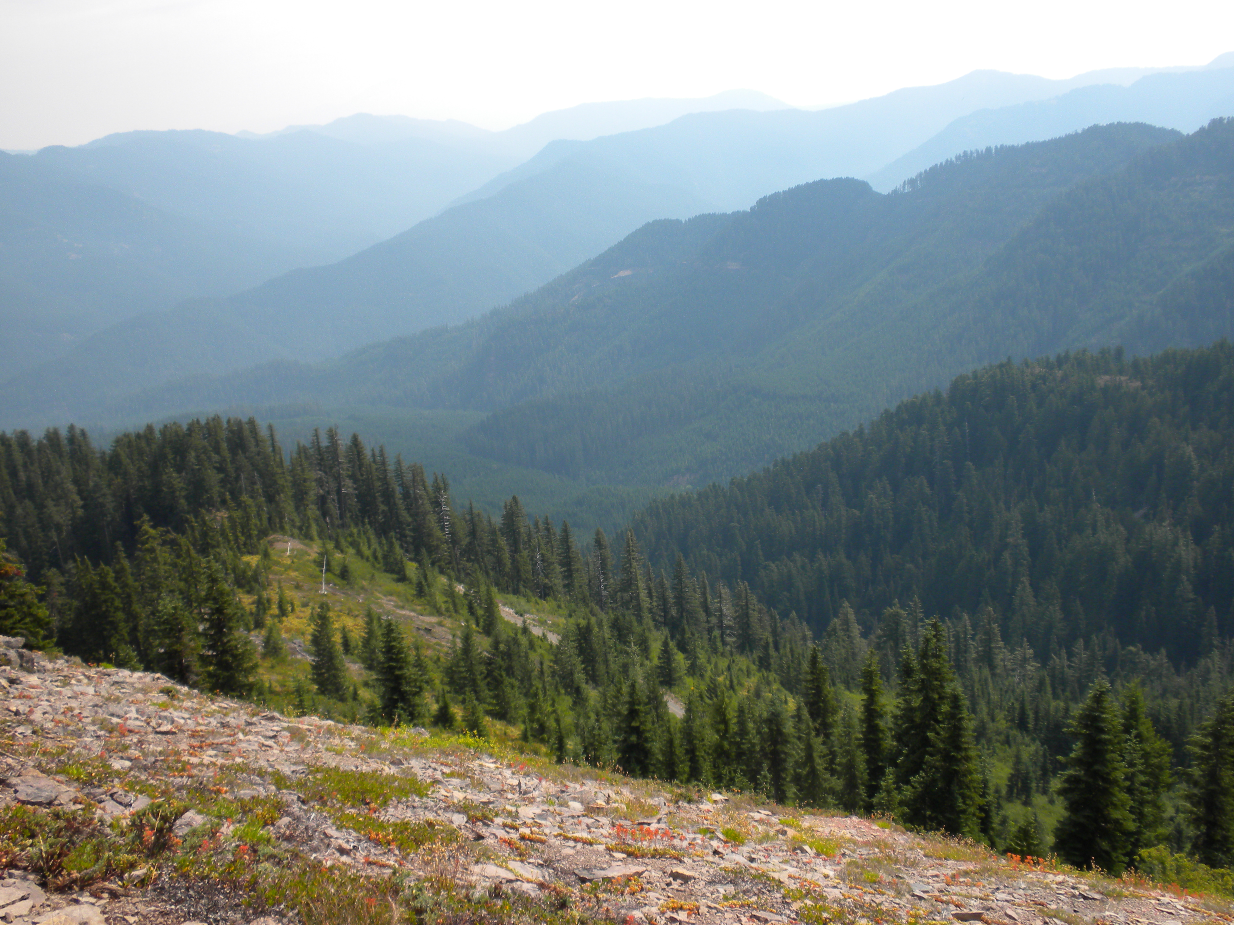
There are good views as well as forest and meadow locations around the summit. I found a well placed set of trees to support my EFHW antenna and provide some shade on a sunny, but hazy day. The summit is worth 4 points.