Lowder Mountain is a 5570’, 4 point summit southeast of Cougar Reservoir in the Three Sisters Wilderness. A 5.6 mile round trip hike leads through forest and hillside meadows up to a mostly treeless summit. Net elevation rise is about 900’. A short side trip from the top opens up to great views of steep cliffs and lakes far below.
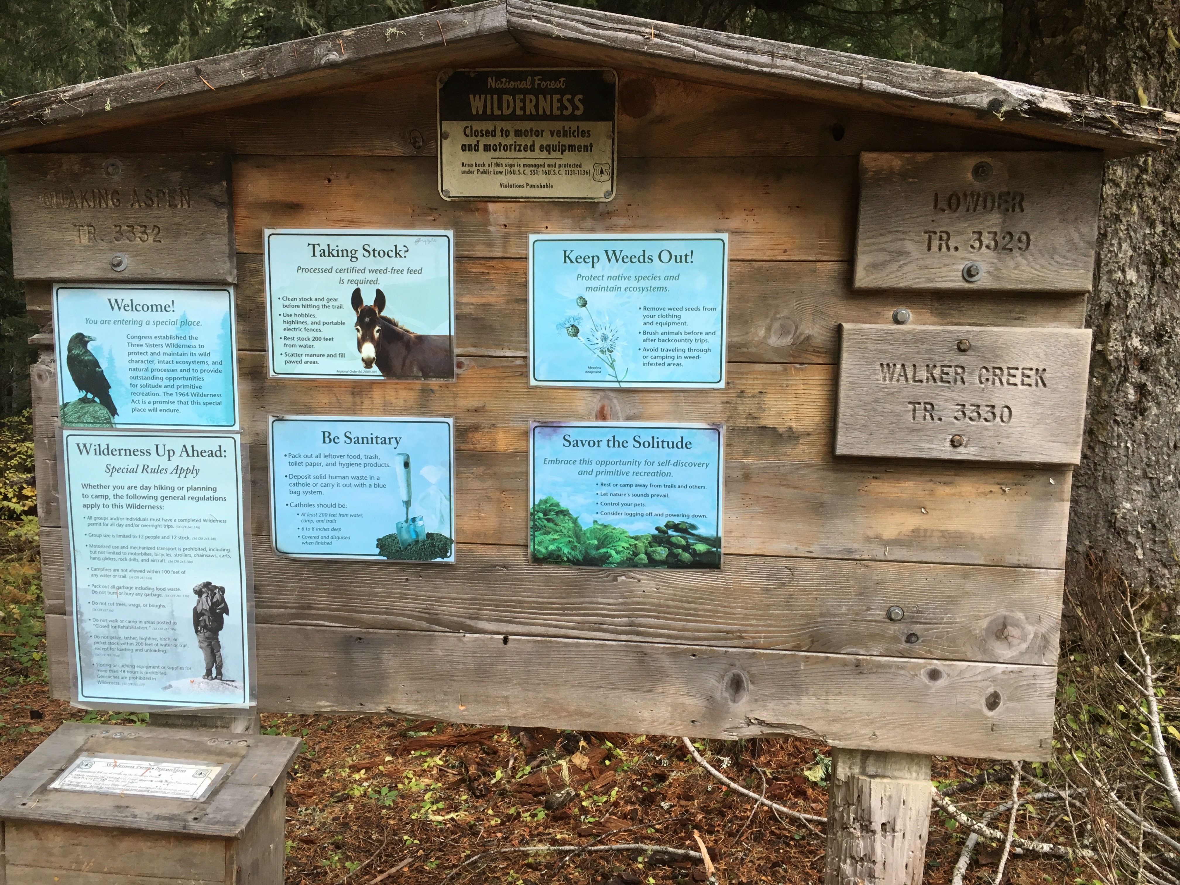
To reach the trailhead, take OR Hwy 126 about 45 miles east of Springfield. Between mileposts 45 and 46, turn south at a Cougar Reservoir pointer onto paved Aufderheide Road 19. After 1/2 mile, keep right at a fork, following Rd 19 another 2.8 miles to the reservoir. Turn left across Cougar Dam on Rd 1993 for 2.6 miles to the end of the reservoir. Fork left to keep on Rd 1993 (now gravel) and drive 9.2 miles to the Lowder Mountain trailhead on the right. Park here and fill out a wilderness permit at the kiosk. The Lowder trail is on the right side of the kiosk and heads uphill.
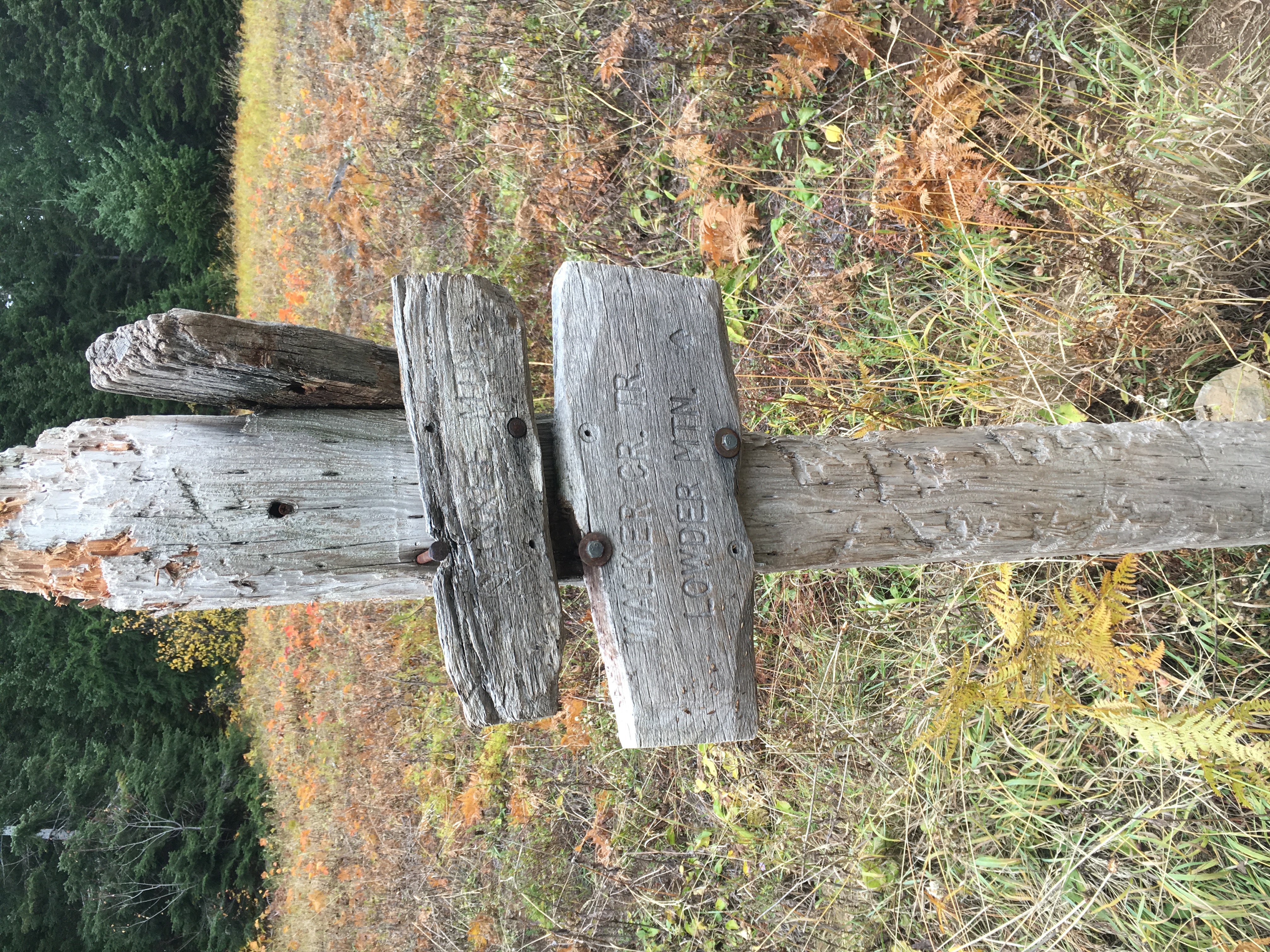
The trail begins by switchbacking up several hundred feet of elevation, then levels off and heads generally west. At the two mile mark since beginning, a “rustic” sign post marks a trail junction. Turn right/uphill and switchback up to the mostly barren summit area (500’ up about a half mile). Cairns mark a path to the left that leads into the trees and opens up to an excellent view. The activation zone is fairly large up there, offering a few choices for a set up. I attached my mast and EFHW to a tree and had a nice activation with about 2 dozen QSOs (one S2S).