UPDATE NOV 2023: This summit is now posted "No Trespassing" to all public use. See photos. Previous trip report below.
_____________________________________________________________________________________
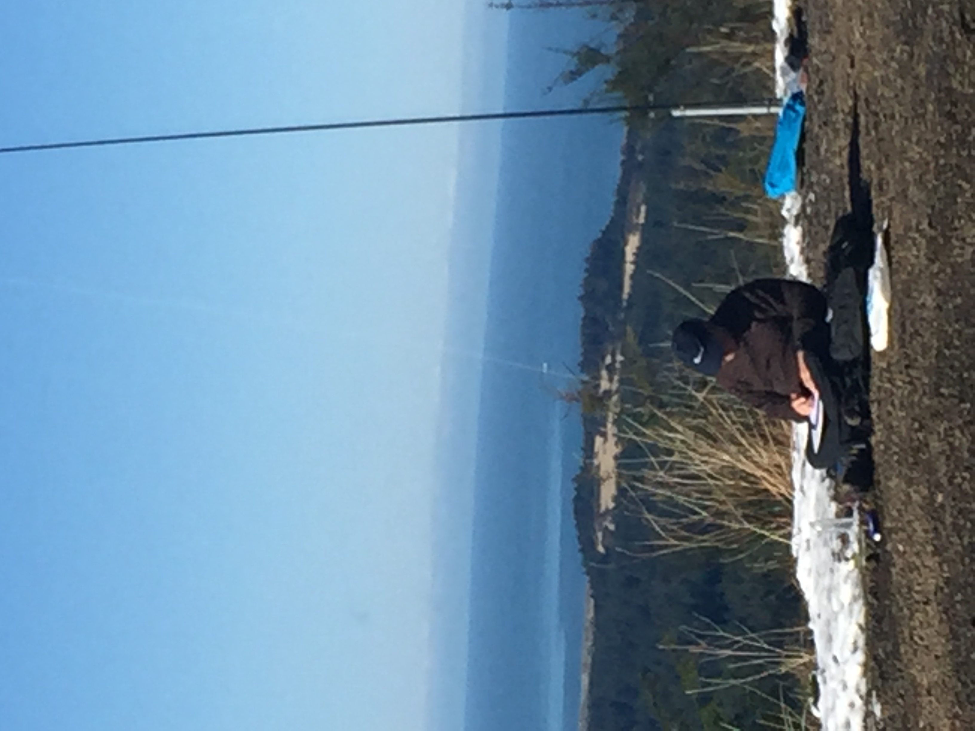
This summit lies on the south side of Florence. The trail rises 350 to 400’ over about one mile. The summit is covered with RF equipment which did not seem to cause much interference to my HF station.
Coming from the north on Highway 101, cross the 101 bridge and start looking for a road to the left called Glenada. It is several hundred yards south of the bridge. A sign says “No Outlet”, but don’t let that stop you. Follow that road (Glenada) and turn left when the signs indicate a change to Glenada Rd East. The road becomes gravel about this point. Finally the road ends at a blue house on the right and a turn to the left. There is a yellow gate with signs that say no motorized access, but non-motorized access permitted. Yea! Park here (without blocking the gate) and head up the hill on foot.
About 1/3 of a mile uphill, stay to the right at an intersection. About 2/3 of a mile up, at a large intersection, veer to the right and immediately (maybe 100’) veer to the left. Continue uphill to the summit. The RF facility is fenced in, but there are trees and a pole or two in the parking area to mount a mast to. There are nice views of Florence and the ocean as you hike up.
Note on RFI: I activated this summit on 25 February 2017, and interference from the RF facilities on top were troublesome this time. I had several S2S opportunities, but could not hear the other summit’s signal. It might be advisable to set up downhill and away from the top to lower the interference, while staying in the activation zone, of course.