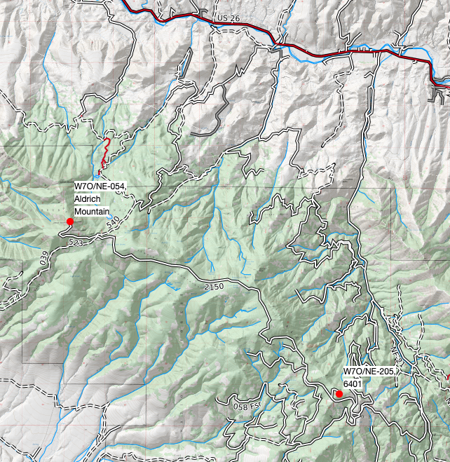
Aldrich Mountain in Grant County has two fairly accessible summits that make a nice pair to activate as part of the same day trip. These include Aldrich Mountain (W7O/NE-054) and 6401 (W7O/NE-205). Both are 6-point and located in the far western part of the Malheur National Forest, with access from Hwy 26 and Forest Routes 21 (Field Creek Rd) and 2150. Route 21 is paved while 2150 is a well-maintained gravel road. Plan for a 15 mile drive on 2150. There are campgrounds in the area.
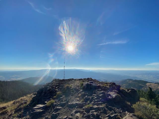
Aldrich Mountain-W7O/NE-054 is a near drive-up to a lookout and communication site. There’s fantastic 360 views from up there. Not a lot of trees in the activation zone so a mast is recommended. I had great Verizon cell service and could self spot. The long drive from Fields Creek Rd is worth it.
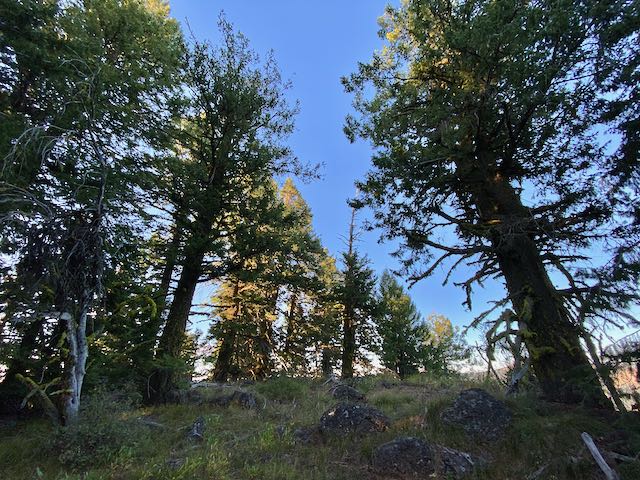
6401-W7O/NE-205 is along the drive to the lookout on Rt2150. There is a short stub road that ends at an old quarry. Park at the quarry and hike up the left side of the large cut in the hill - the right side will take you into some bigger rock (don’t ask how I know). The hike to the summit is about a 1/4 mile, fairly easy. The summit is forested with filtered views - has trees to hang wires, etc. My cell service was spotty here and it took a few to get a spot out.