After activating W7W/SK-113 the evening before (see trip report for Second Hop Summit), we rose from our camp in the gravel pit. We made hearty breakfast and broke camp but before leaving we found a few lonely tin cans in the gravel pit to practice our marksmanship.
After feeling assured that the tin cans would not cause harm to future campers we set out for more driving and exploring. We continued further on the main Jackman Creek Road, going all the way to end where better weather would have revealed a nice viewpoint. My GPS was telling me that we were in striking distance of SK-115, but the thick fog made it difficult to asses the best route. Eventually we decided to park at (N48.59111 W121.62902), a wide spot at a bend in the road. Just enough room for a full size truck. We began hiking NW, up a ridgeline towards the summit at (N48.59180 W121.63440). This route, in hindsight the best option, started steep and got worse. It was necessary to cling to vegetation both on the way up and down to prevent falling.
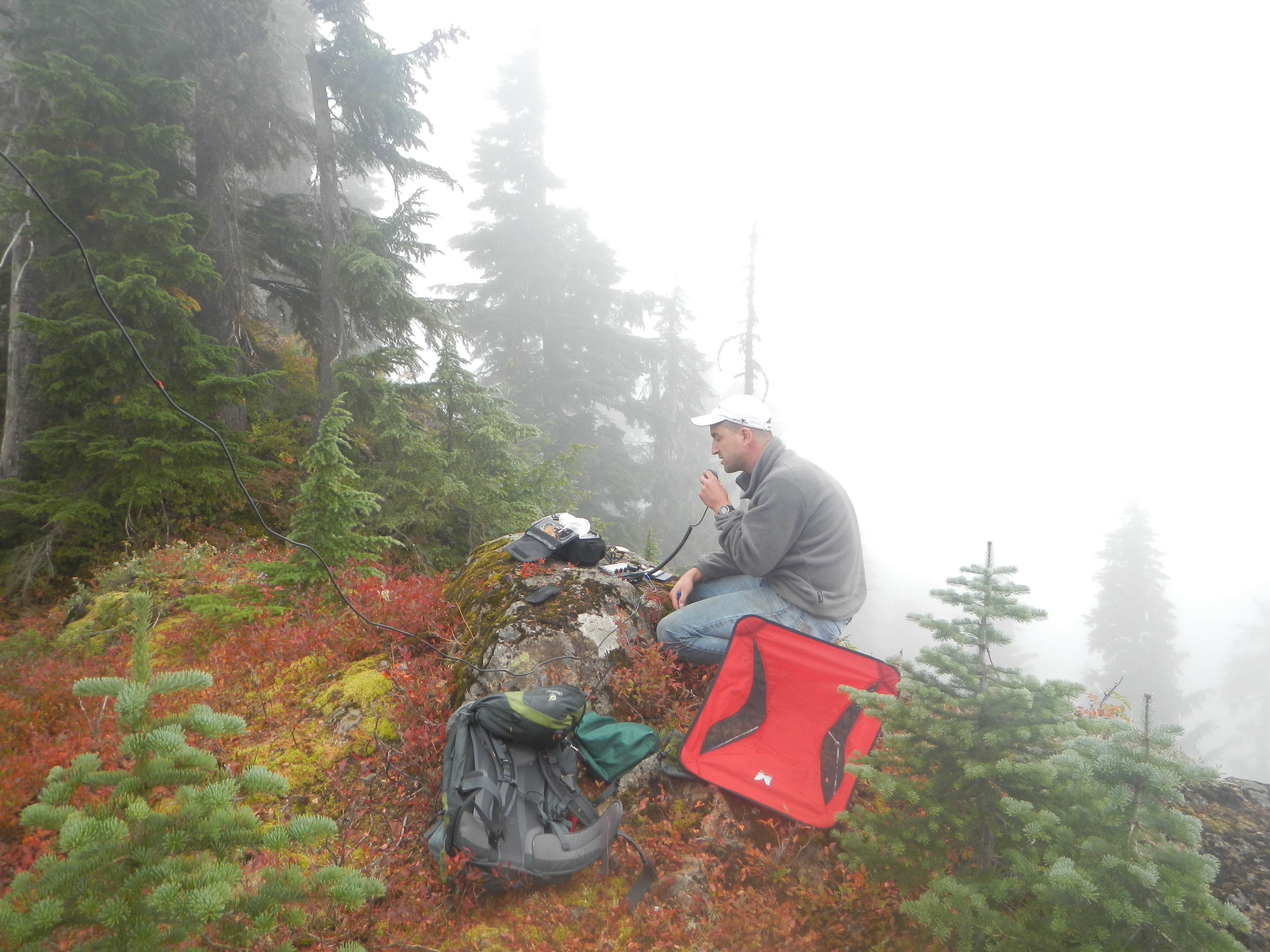
The top revealed a knife edge ridge with enough room to comfortably set up a dipole and operate. The high point is not accessible due to a cliffy rock approximately 25 feet tall sitting atop the ridge. I set up at the base of the rock, within the activation zone. Unfortunately the fog remained all day and we were not rewarded with any views.
We had first considered approaching from the north as Jackman Creek Road eventually wraps around the mountain to the north side. Standing on the summit, we could see that we would have eventually been blocked by cliffs had we attempted that approach.
Activated on September 22nd, 2012.
Todd, W7TAO