A rainy weekend in Western, WA led me to look for options on the Eastern side. Tim (KG7EJT) had done Baldy a week prior, and looked like a great option.
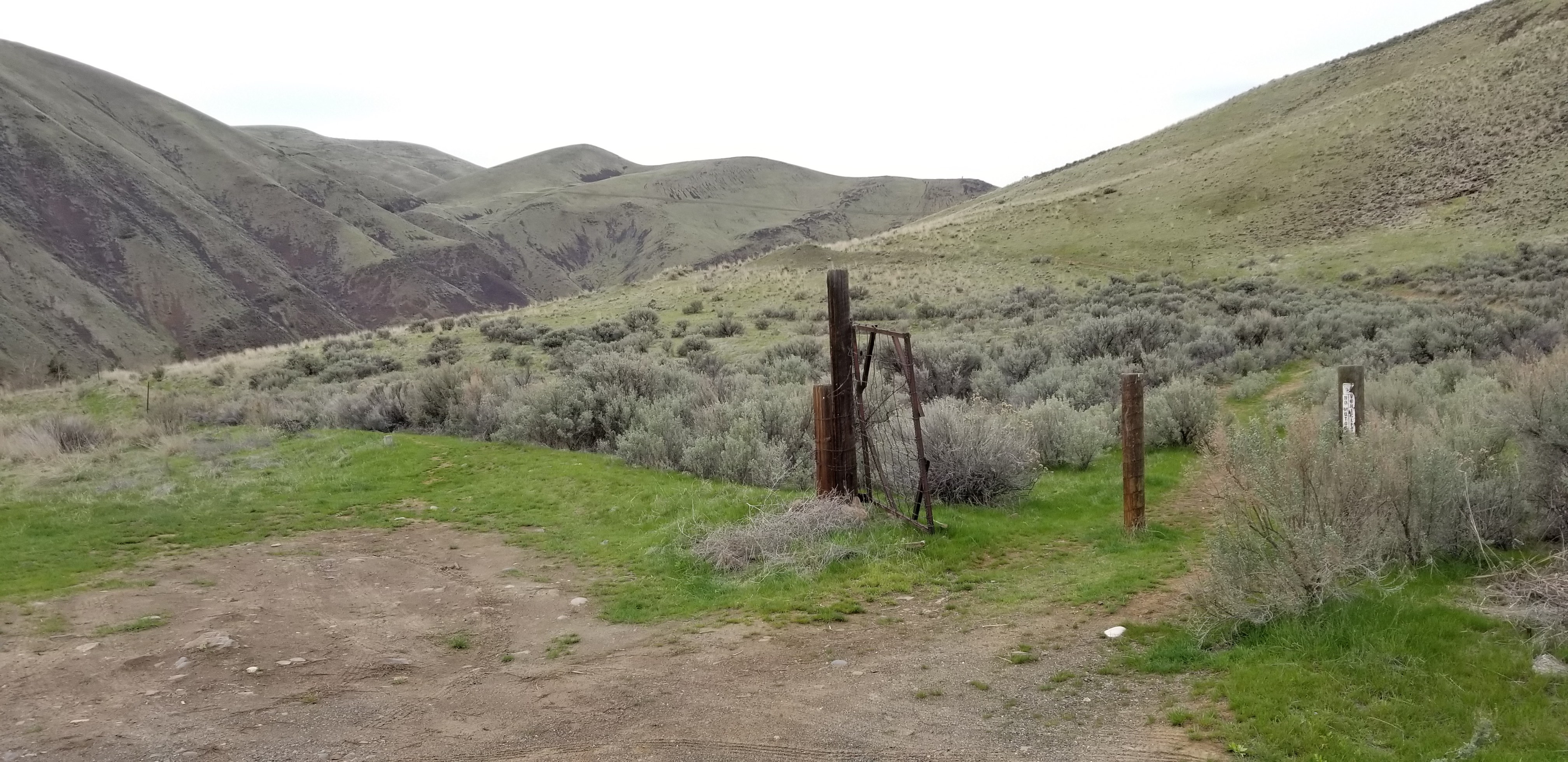
Driving directions and parking information are located at WTA link below. I parked across from the trailhead at Big Pine Campground, and needed a BLM use pass (I purchased a $5 day use pass, and printed at home prior to leaving). The trailhead is located just north of the entrance to Big Pine Campground, and there is a gate on east side of highway signaling entrance to trailhead. Walking through the gate will lead to a steeper trail, and for more gradual route stay left of gate. The attached picture shows a faint path to left of path, in front of the bushes, and along a fence line.
https://www.wta.org/go-hiking/hikes/baldy-mountain-1
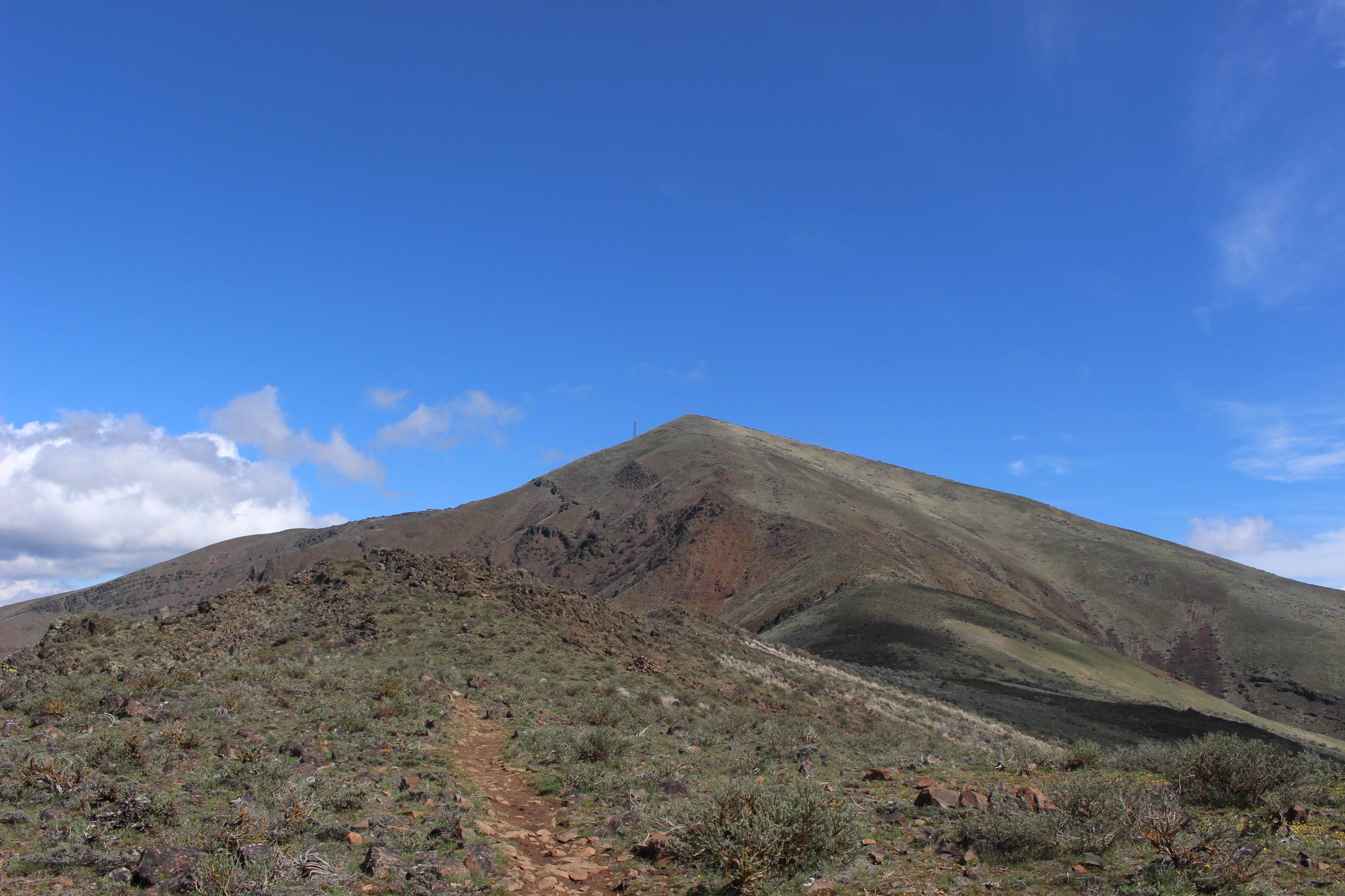
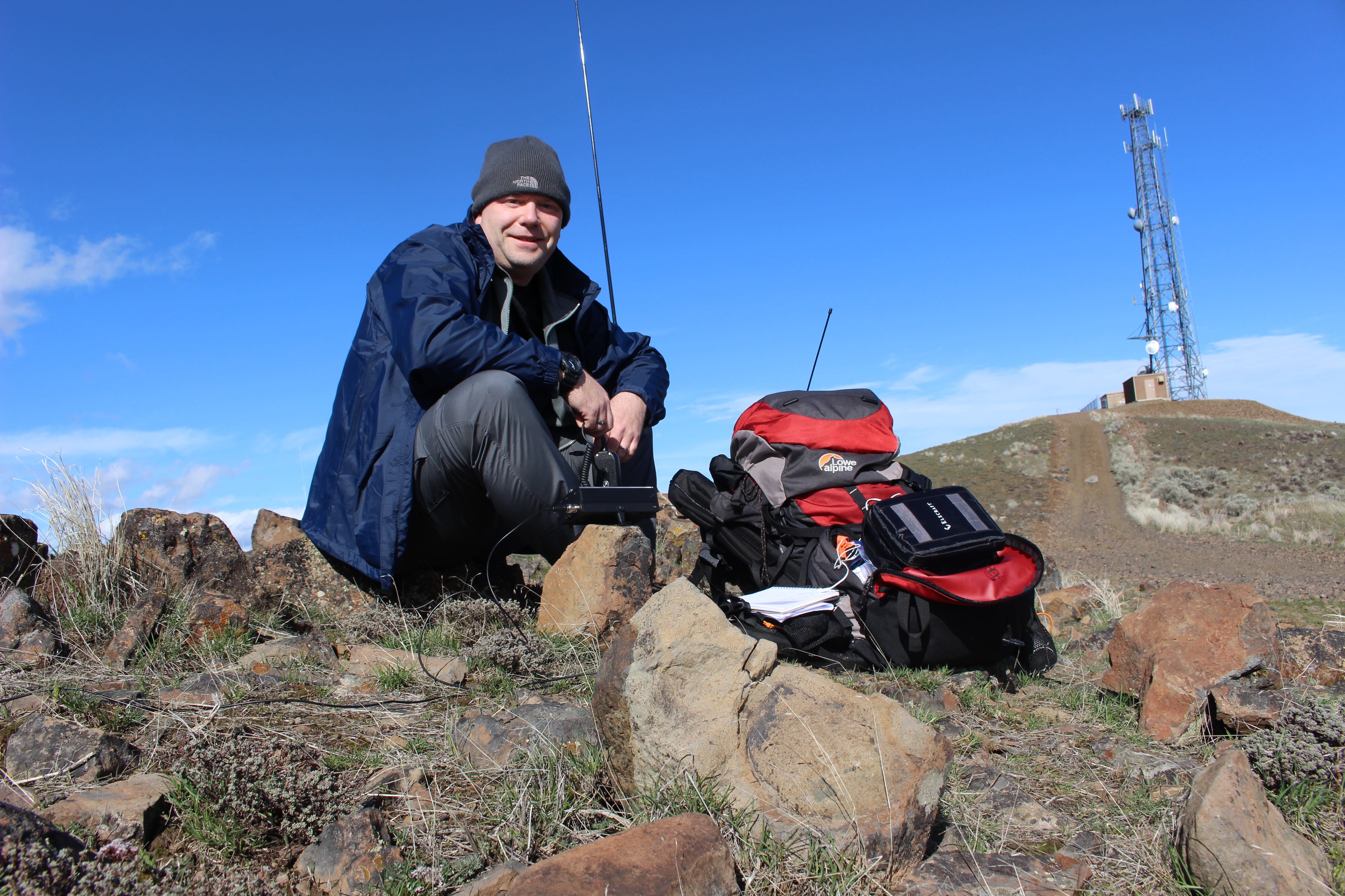
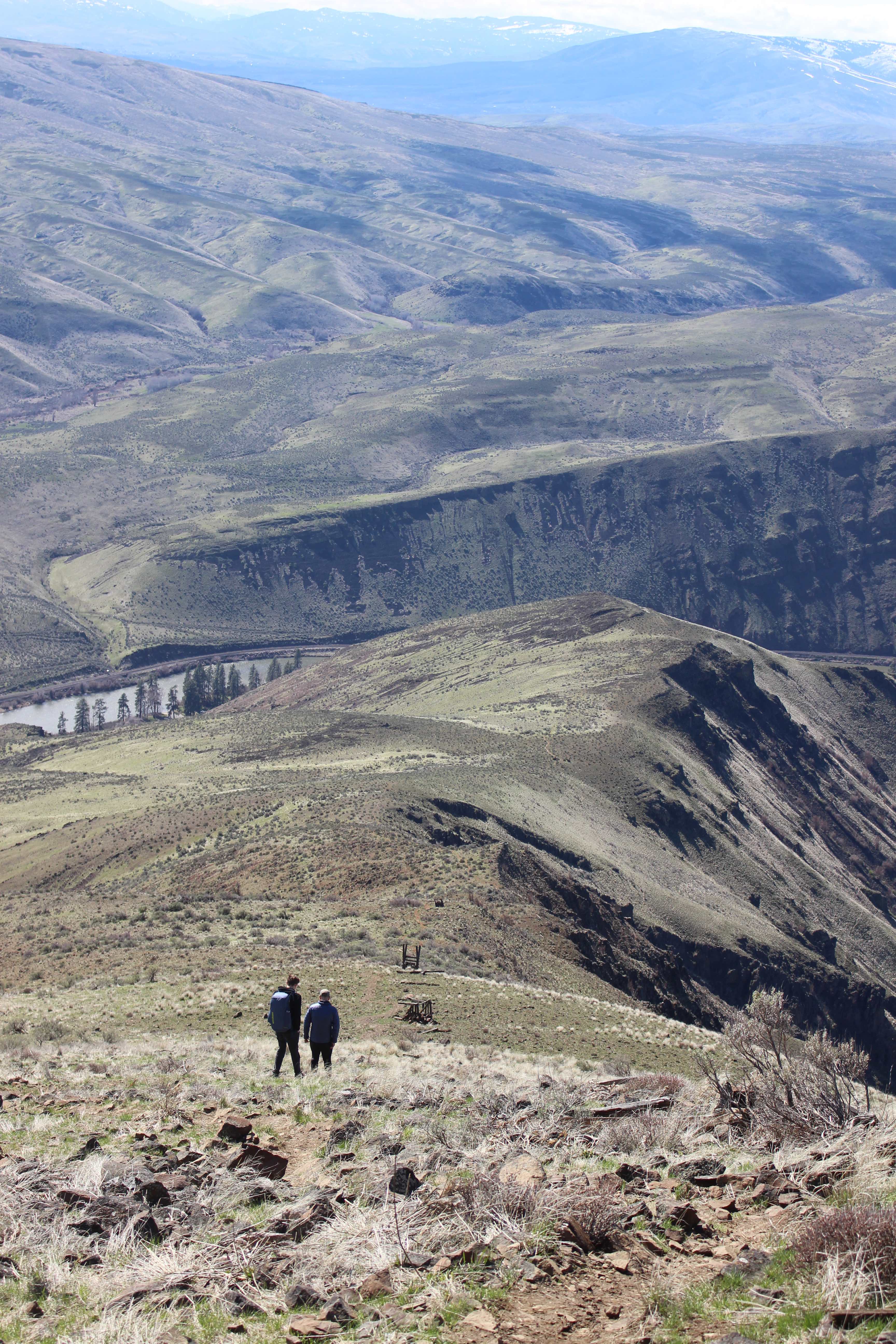
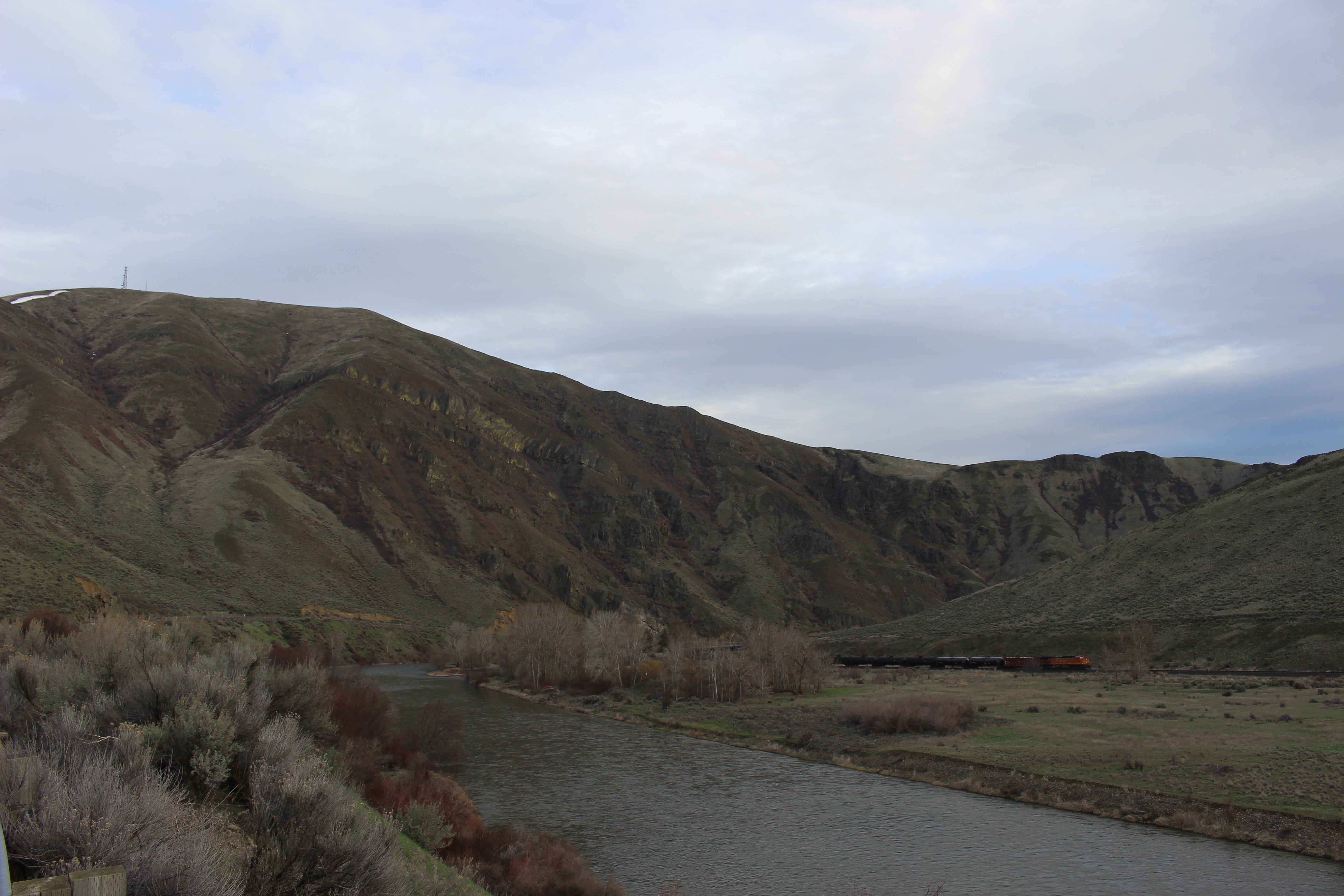
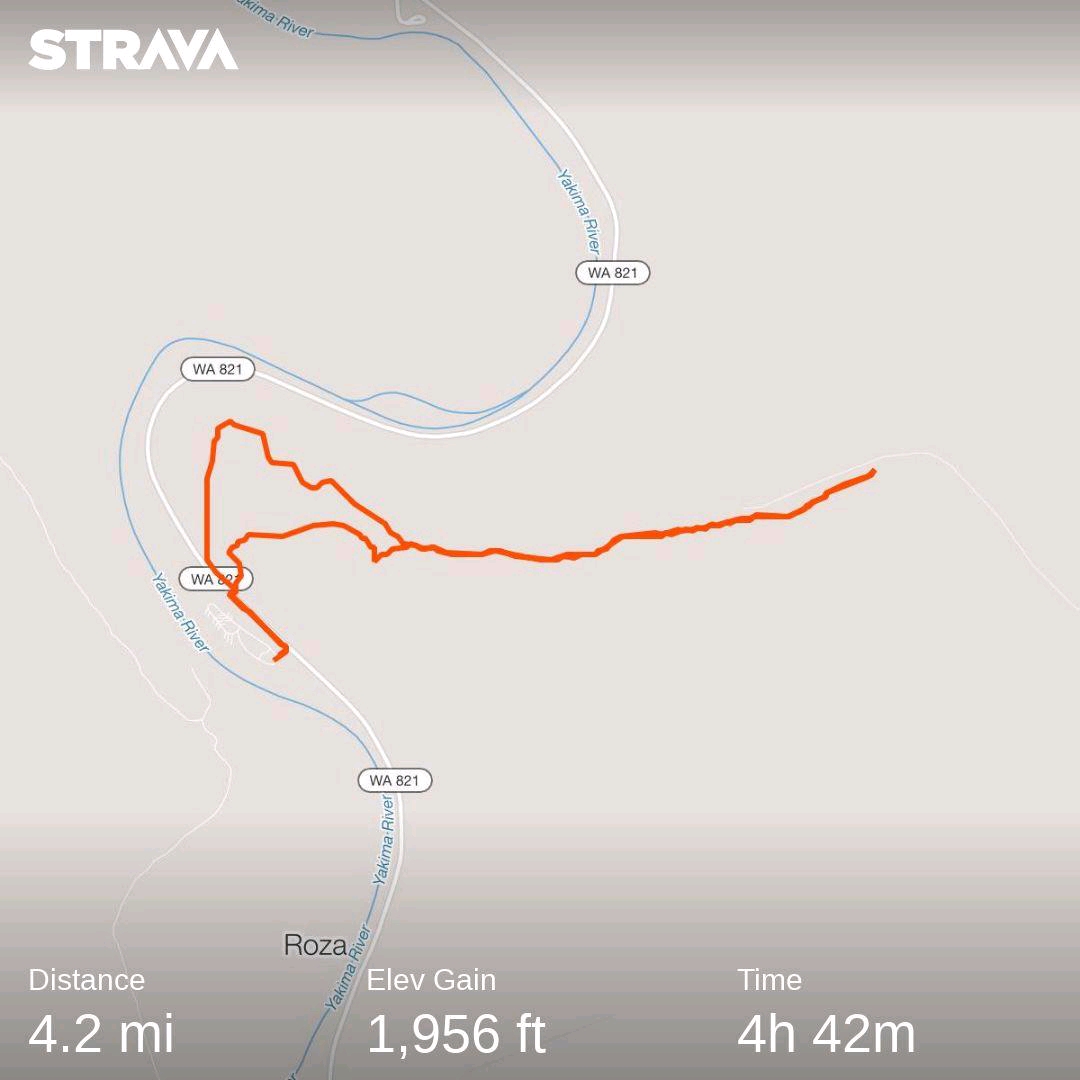
Trail is fully exposed, and relatively steep for a short hike. My mileage was 4.2m round-trip with 1,956 elevation gain. Summit was windy and exposed with radio towers, and no trees. I strapped my antenna mast to a wooden board sticking out of some rocks on east side of summit. Made 5 contacts...3 on 20m SSB, and 2 on 2M. Darryl WW7D and Josh WU7H were the much appreciated 2M contacts, and they heard me call CQ while driving back from another activation.