Camano Island is a 1-point summit accessed via a short and nearly flat elevation gain hike, or drive-up due to larger activation area. Thank you Josh WU7H for blog comment about drive-up option, and difficulty trying to chase this summit. Stopping on side of N Cross Island Rd just North of the summit appears to be one drive-up option (see picture below). There is no view from the summit, and the summit area is surrounded by trees. Since the summit elevation is relatively low at 180m or ~590 feet, my first June 2019 activation attempt was a failure. Bringing my two younger boys was too distracting while trying a new antenna setup, and I also probably tried activating too late in the day?
For a 2m only activation, would likely recommend doing mid-day on a weekend to have better success. For the Nov 2019 activation, I made three 2m contacts using an Elk log periodic, and three on 20m FT8.
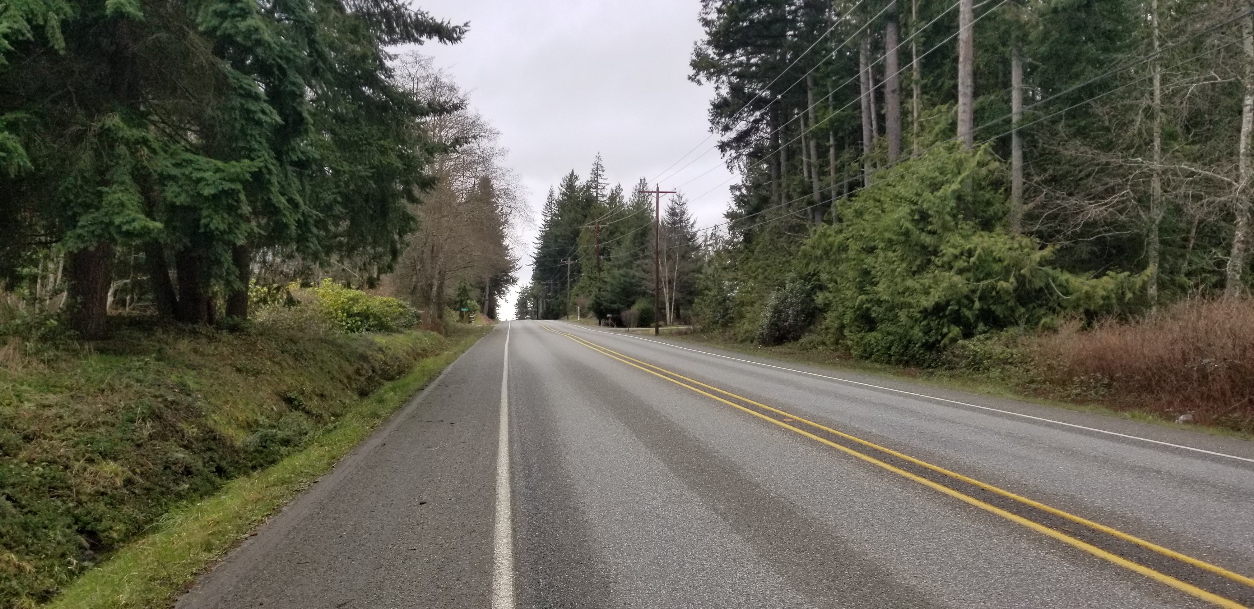
2/15/20 update - tried the road activation option on N Cross Island Rd, and parked next to Windsun Way. The picture below is looking West from where I activated. Although narrow, there is room to park along the road. Please be careful if activate along this road, as vehicles travel by quickly. While the road noise was loud, was able to make 4 2m contacts with a rollup jpole on an extension fishing pole (this was a Saturday at ~1pm).
Directions:
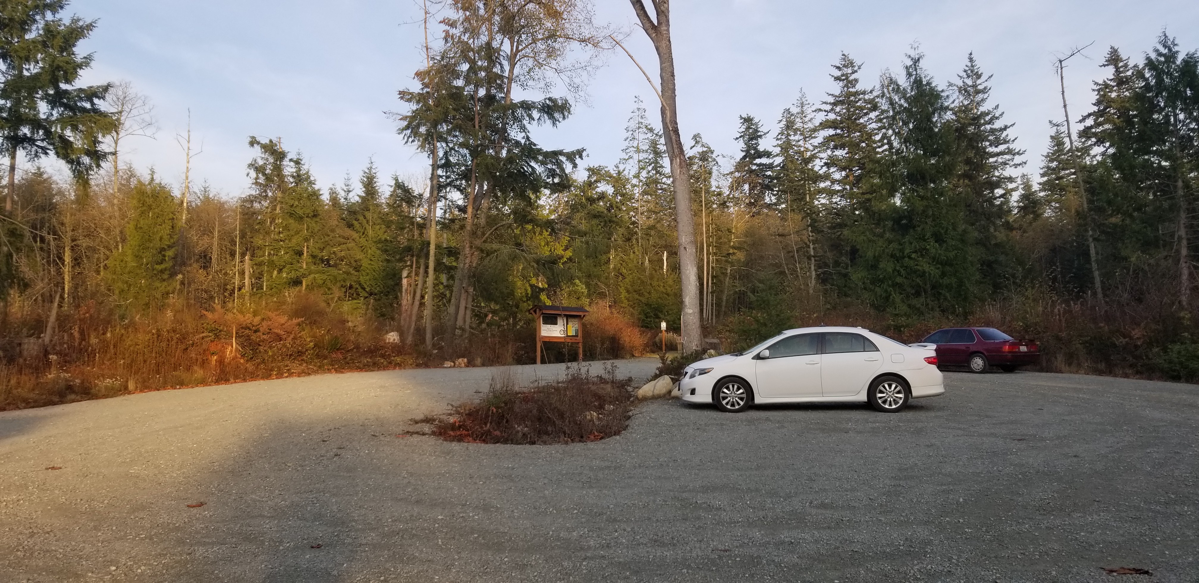
There are two ways to access the park, and recommend parking on the West side.
From I-5, take Exit 212 for WA-532 toward Camano Island/Stanwood. Turn left onto WA-532, and continue for 10.1 miles. The road will veer left and turn into NE Camano Dr for another mile. Turn right onto E Cross Island Rd, and continue for 1.9 miles. Turn left onto N Camano Ridge Rd, and parking will be on the left in 0.9miles. It's easy to miss, and I drove by the first time.
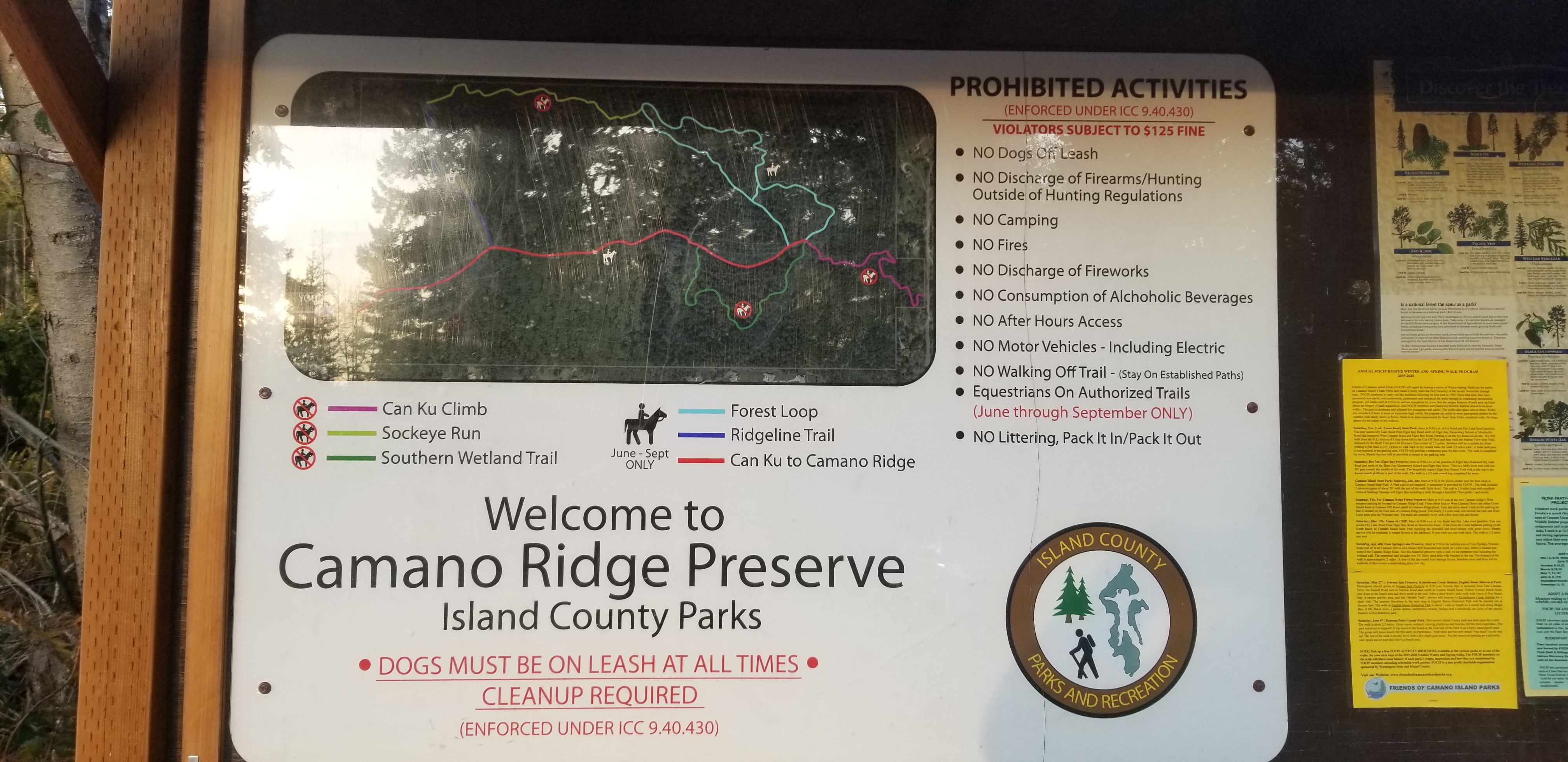
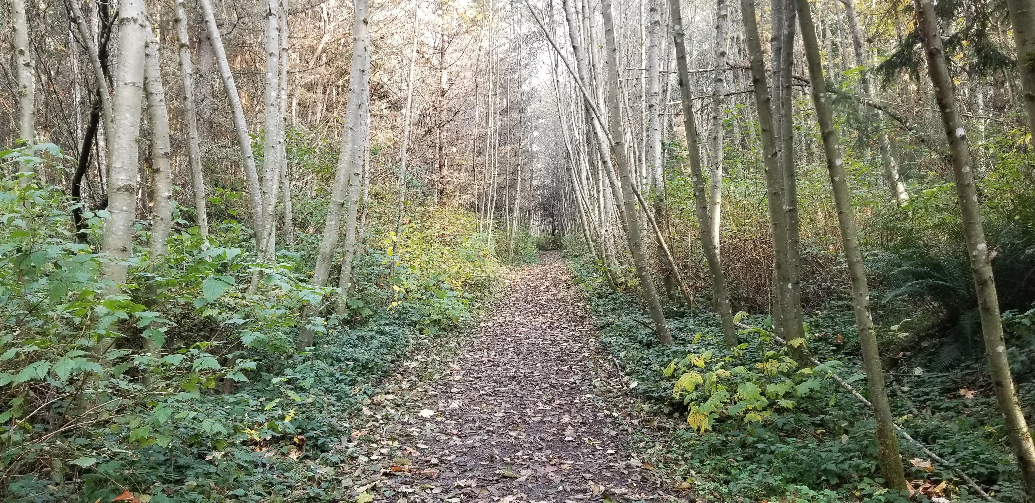
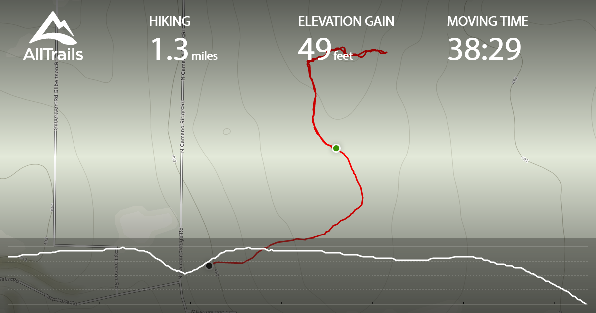
Below are links to AllTrails and WTA, which include information regarding Camano Ridge Forest Preserve and trails. I've also included tracking from my June 2019 failed activitaion. I went further than needed looking for a good activation spot. The tracking shows 1.3 miles and 49 feet of gain, but I would recommend going ~.5 miles to where the trail changes from picture below, to a distinctly more wooded area. (The alltrail tracking shows me going North, and then head East (or right) for a while near the summit area. You should be able to stop before going into the woods, and turning right or heading East)
https://www.wta.org/go-hiking/hikes/camano-ridge-forest-preserve
https://www.alltrails.com/explore/recording/recording-jun-12-07-01-pm?p=-1