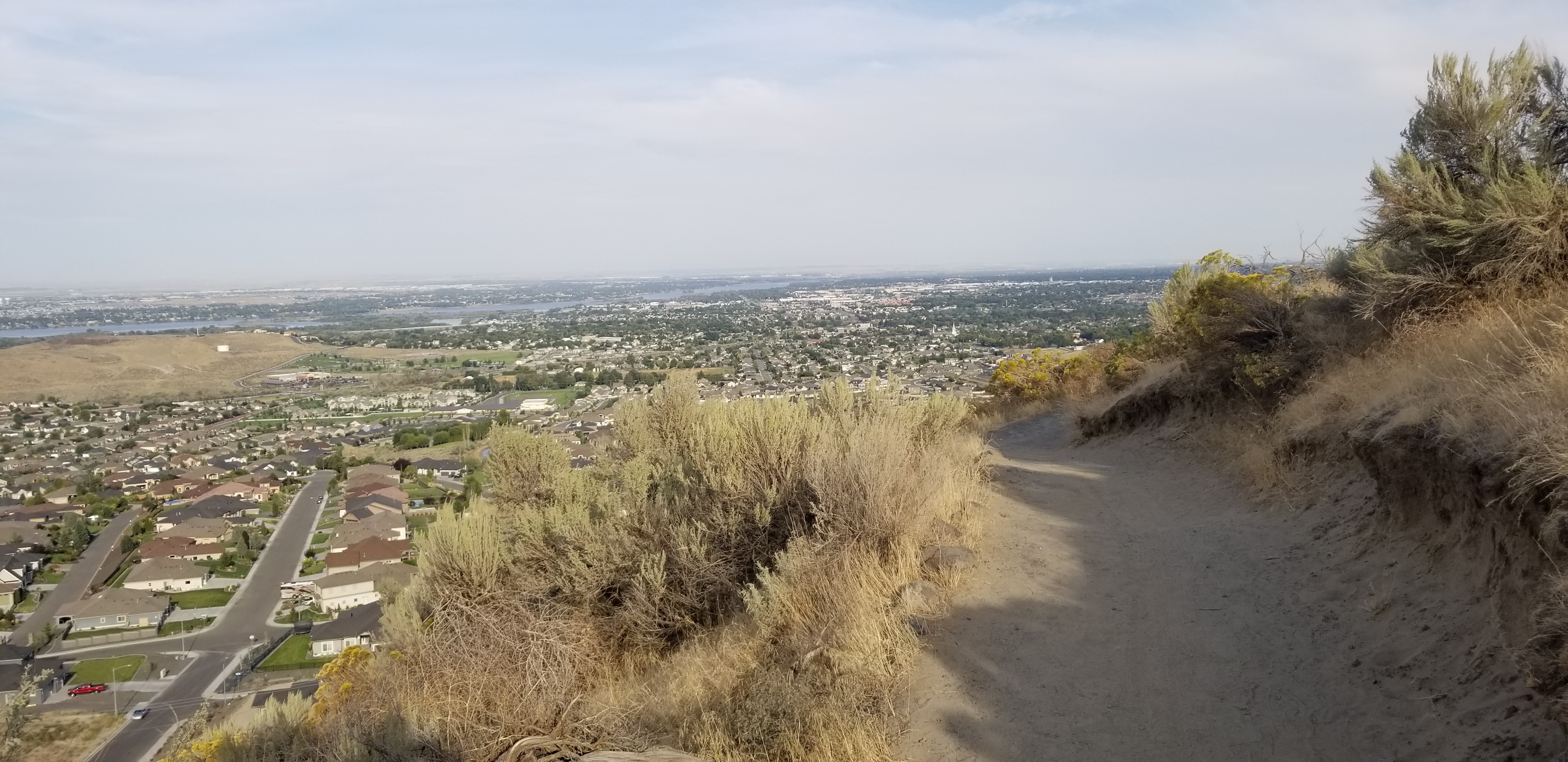
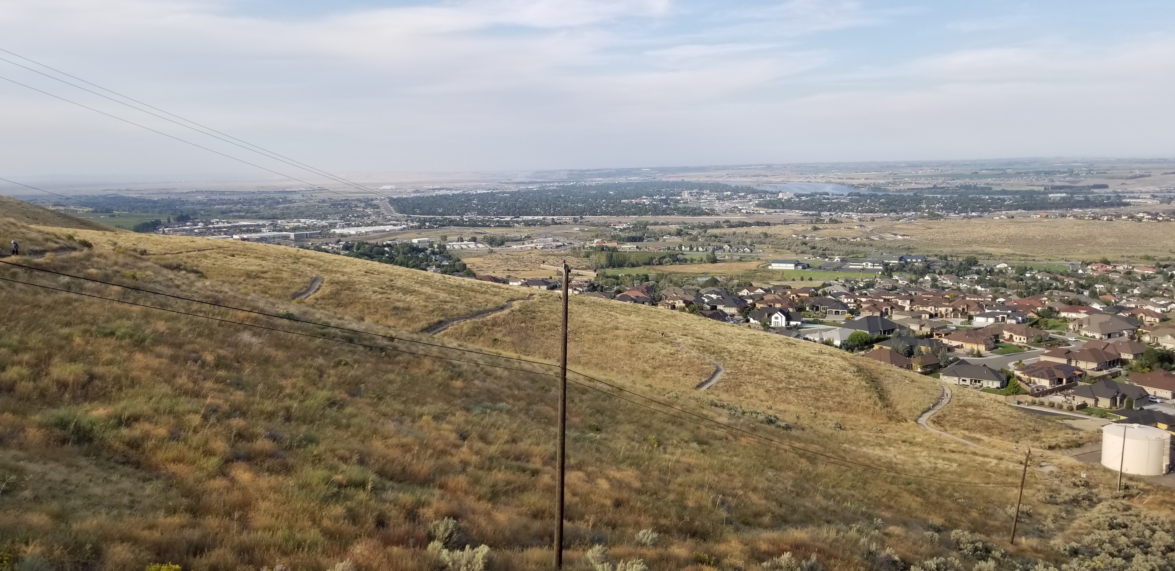
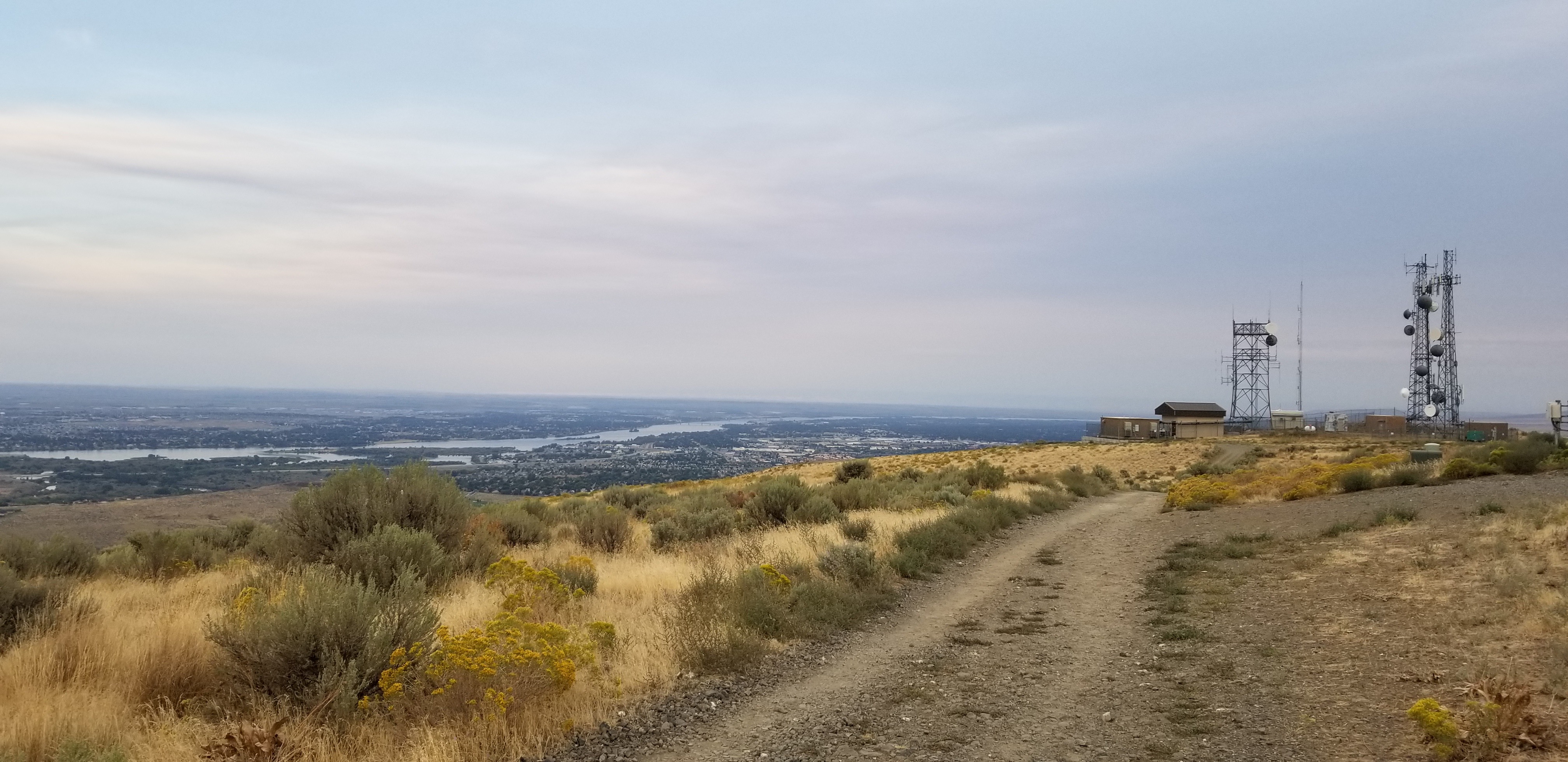
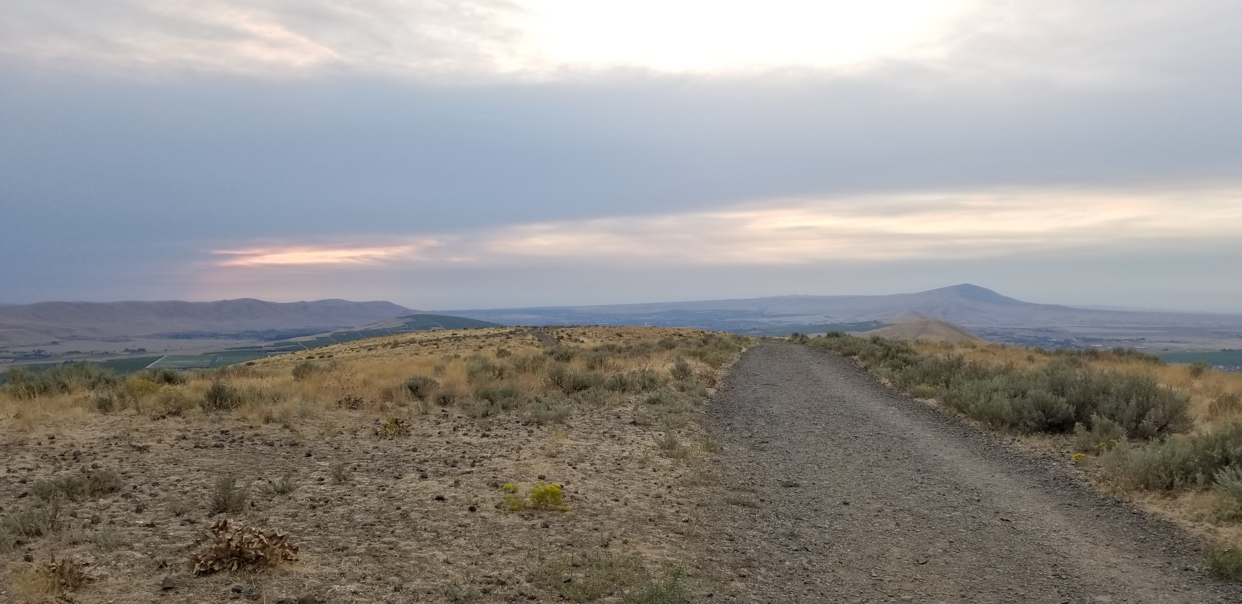
While in the Tri-Cities area for a family event, was able to activate Badger mountain later in the afternoon. The trail is very open, and would be very hot during the middle of summer days. In the evening, there were many people using the trail. Since the trail is so open, I enjoyed the views for miles around and seeing the Tri-Cities from a different perspective.
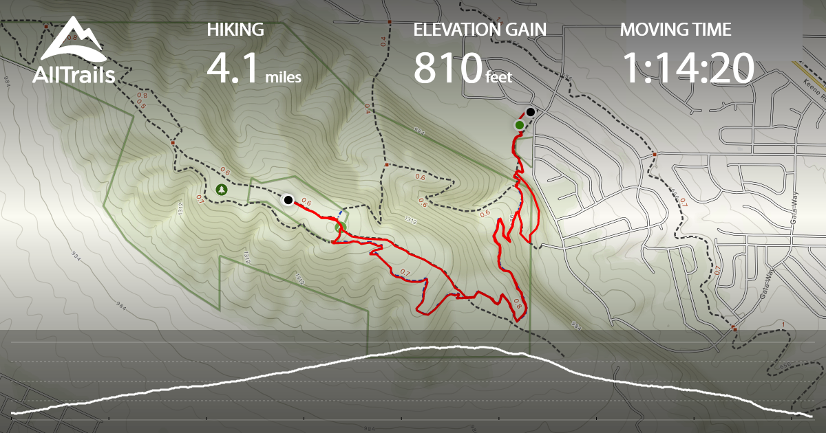
There are two trailheads, and I accessed via Trailhead Park (Westgate trailhead is the other option). The parking was great in Trailhead park, and it is located in a very nice community of homes. No parking pass was required. Trail distance was 4.1 miles round-trip, and 810 feet of gain (per tracking app). There was a more direct trail option, but it was closed at the time.
No trees on the summit, but views were amazing. Tried to activate 2m only, and made two local contacts. It seemed like high 2m interference from towers, so needed to set up the hf radio. There was a fence on the west side of summit, that I strapped an antenna mast to...and grateful to get two 20m Oklahoma contacts to complete the activation.
Addtional trail information and maps is available at the Friends of Badger Mountain link below, and trails directions below are from this site.
http://friendsofbadger.org/trail-faq/
Trailhead Park is located at 525 Queensgate Dr, Richland, Washington.
From I-182, take the Queensgate Exit southbound and proceed to Keene. Turn left.
Once on Keene, turn onto Shockley Road (near the Bethel Church). Take Shockley until it ends, turning left into Queensgate Drive. Continue up the hill until you reach the stop sign. Turn right onto White Bluffs Street and then a left into the Badger Mountain Trail parking lot next to the cinder block pump house.