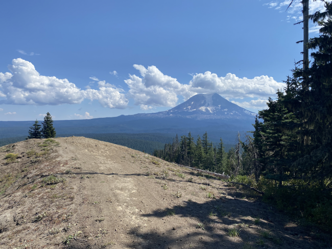
East Canyon Ridge is a summit in the Gifford Pinchot National Forest, near Mt. Adams. The summit is along a well used multi-mode trail that sees some mountain bike and moto traffic, though very light on the day of my activation. Huckleberries were ample during my visit in late summer, as well.
To reach the trailhead, I started from Trout Lake, WA and went north on Mt. Adams Road/NF-23 for 24.5 miles to the junction with NF-2329 (46.27433, -121.60198). Turn right onto NF-2329 and proceed 0.9 miles to (46.28349, -121.61075) and then continue straight on NF-5601 for 0.2 miles to a parking pullout at (46.28461, -121.61380). A sign may direct you towards Ollalie Lake Campground, which is correct. If you end up at Takhlakh Campground, you went the wrong way. Nearly all the roads on this route are paved, save for a 2-3 mile section of NF-23 near Babyshoe Pass.
Trail 265 begins here. Follow it for 2.3 miles to the activation zone. The trail starts flat, descends to a swampy area and then begins climbing the ridge in earnest. The trail tread is obvious but, due to moto traffic, is rocky in parts with some short rough sections.
Do not expect much cell phone service in this area, but YMMV based on carrier. I used APRS for spotting, which worked well. Great view of Adams from the ridge. I set up right along the trail but you may find a better spot.
2m is sparse in this area but you may pick up a couple contacts.


