Summit:
W7O/CM-121
Voice Cellular Coverage:
Decent, workable
Data Cellular Coverage:
Decent, workable
Cellular Provider:
AT&T
APRS Coverage:
Don't know NOTE: This area may have burned in July 2025. If anyone has intel, please post. I believe it may have just been the western approach side of the mountain.
Aubrey Mountain is 2 point summit near Oakridge, OR in the Willamette National Forest. The summit can be accessed either from a neighborhood at the edge of town or from a higher trailhead on the northeast side. I took the high road as described below:
- From Oakridge High, take East 1st street east for 4.2 miles. This road becomes FR 24 on the east side of town.
- Turn right at (43.75860, -122.38636) and proceed uphill for 2.5 miles, staying on this main road to the Mule Mountain Trailhead parking at (43.74575, -122.39184).
- Park and walk the Aubrey Mountain trail west for 0.3 miles. Cut right into the flat, treed summit area until you find a suitable place to activate.
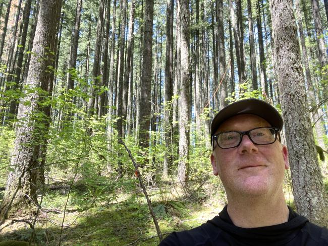
The forest is generally open with light shrub. Plenty of places to put up an antenna, vertical or wire.
There is an alternate approach hike from Dunning Road (43.73820, -122.42319) of 2.4 miles, staying left in 0.7 miles to ascend Aubrey Mountain.


