I think there are 2 ways to get to Arbuckle Mountain. But I only did this one. I don’t recommend this route unless you are a 4x4 enthusiast or maybe by mountain bike.
From Willow Creek Road out of Heppner which turns into NF-53 then turn onto NF-170 (45.16615, -119.23569). This quickly turns into high clearance and eventually into 4wd road. However, it is only 3 miles to the top. I would not recommend this road if it is not dry. There are several turns required, but I did not document them as I took several wrong ones.
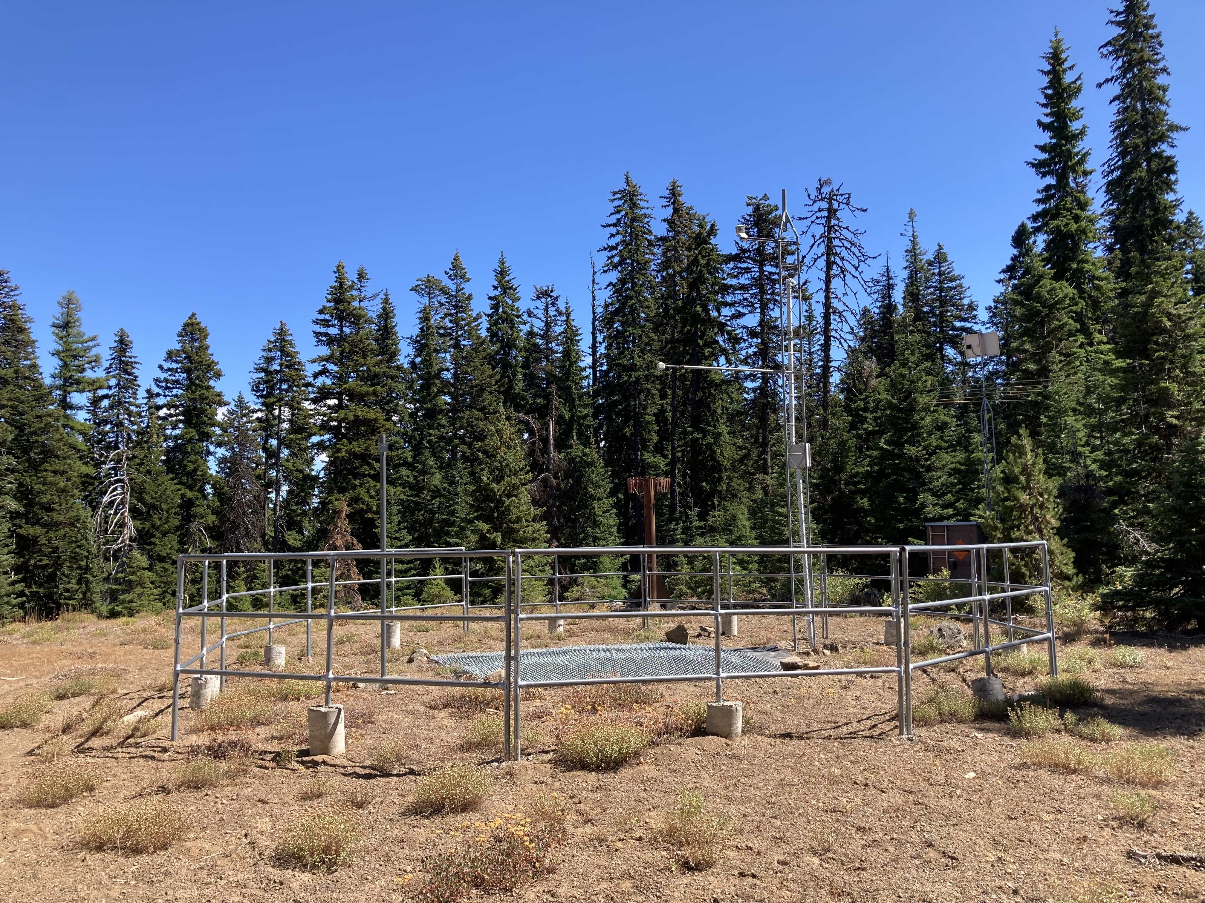
The road ends at a small radio installation. This is in the activation zone but I had no cell service so walked a quarter mile to the actual summit. Still no cell service but the view is worth the short hike. Short activation here as the white faced hornets where out in force and no cell service meant no easy S2S targets.
The other way, my original plan, should be a 3 – 4 mile RT hike from where 060 turns off of NF-5326, (45.2001, -119.2655). This would pair well with Black Mountain, W7O/NE-097. This plan was foiled by some bow hunters who were camped there. They assured me that I could drive up from the other side so why do all that walking. As a former hunter I empathized with their desire not to have us traipsing through their hunting ground the day before opening. I presumed it was a wild goose chase but it turned out as above. (Maybe I should have asked the road condition.)