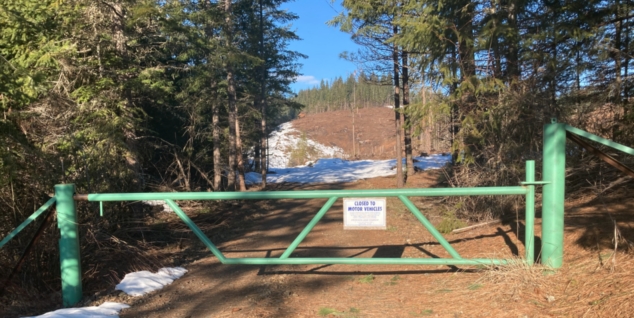
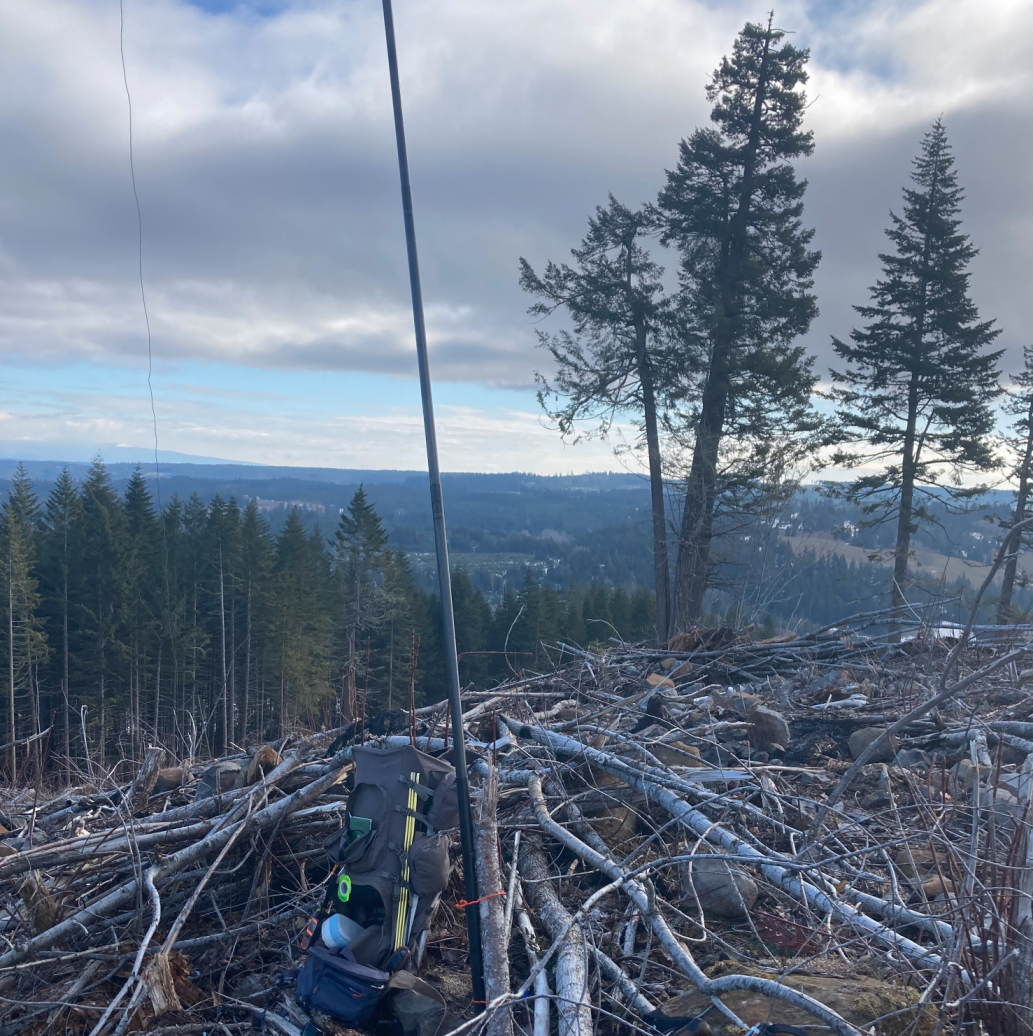
Here is a pavement to trailhead activation if you find yourself in the Columbia River Gorge near White Salmon, WA. A short hike of 1 mile and 700 feet of elevation gain will get you the chance at this 2 pointer. The hike is mostly on a good gravel road and the last bit is easy cross country (for now) as they ran a cat over almost all of it, so not much to push through or step over. There are stumps around and a couple of tall “habitat trees” that are likely in the AZ if you need that sort of antenna support. I tied a pole to a stump at the top. The summit is on private land that allows non-motorized use.
The trailhead is at 45.8159, -121.3964, just after the driveway to a house. I suggest parking right off the pavement even though the gate is a bit down the road as it offers better out of the way parking and a place to turn around.
This peak is named “Mt. Crystal” on the SOTA sites, but Caltopo labels it Rattlesnake. Which makes sense since it is at the top of the Rattlesnake Creek Drainage. The bottom of the drainage flows into the White Salmon River at Rattlesnake rapid. So can you have too many rattlesnakes?