This is a short but steep hike between Dayville and Mt. Vernon Oregon. Mileage is 4.5 round trip and elevation gain is 1850 ft. Starting point is the McClellan Mountain Trailhead, located at 44.3219, -119.2659.
Directions to the trailhead are on the FS website here:
https://www.fs.usda.gov/recarea/malheur/recreation/camping-cabins/recarea/?recid=39972&actid=34
Note the turn on 041, which is a rough road, high clearance and all wheel drive recommended. My GPS wanted me to stay on 2160 and then take a jeep road to the trailhead.
The trail is an ATV track all the way to the top, so with the right equipment it could be a ride up. We saw two ATVs on the trail both stopped. It was mid week and bow season. I’m guessing a weekend during rifle season would be the wrong time to do this activation.
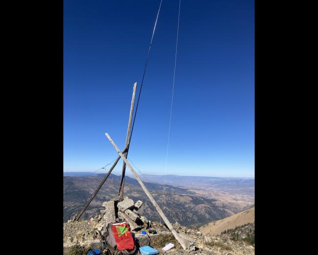
The summit is quite small, but comes equipped with a very nice antenna pole support.


