Summit:
W7O/WV-015
Voice Cellular Coverage:
Decent, workable
Data Cellular Coverage:
Don't know
Cellular Provider:
AT&T
APRS Coverage:
Don't know Fish Creek Mountain is a 6.3 mile RT hike with 2300 feet of elevation gain.
Access to the trail head is on good roads, mostly paved with good gravel for the final bit.
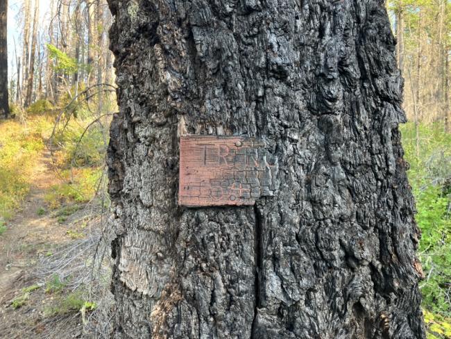
The area was burned in 2020 and closed for several years after. As a result the trail is somewhat overgrown and hard to find in a few places. However, there is lots of marking tape and other signals such as logs that have been cut out of the way. So navigation was pretty easy. I have attached a GPX file to SOTL.AS for further help.
The road directions supplied here are still good, but the pictures of the trail split are not.
http://www.pnwsota.org/node/338


