Here is one of eight Lookout Mountains in Oregon (10 if you count Big Lookout Mountain and Little Lookout Mountain). This is a short hike of one mile RT with 600 feet of elevation gain. The trail is mostly good, but a bit overgrown in places. The drive is easy and can be accomplished with moderate clearance. You can get to within a mile of the summit with most other vehicles. Here are the directions:
Find the North Umpqua Highway (AKA OR-138) and travel to Panther Creek Road (AKA NF-4741) near Apple Creek Campground, 43.3060, -122.6772 .
Drive to the end of the pavement at 43.25308, -122.7618.
Go straight on the good gravel to 43.2637, -122.7429.
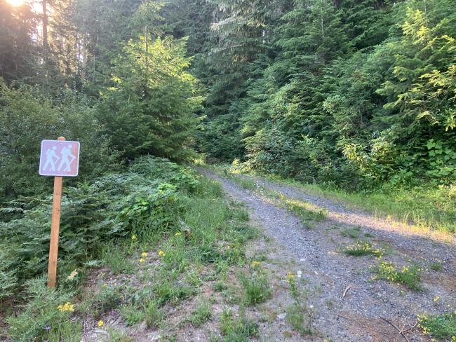
Turn up the double track (or start your hike) at 43.2608, -122.7349.
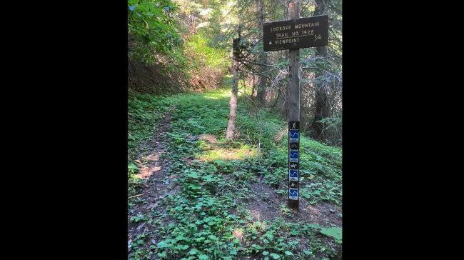
Hike the ½ mile trail to the top. Note that the sign on the trail says ¼ miles. Must be thinking of birds or arrows and not land based creatures.
Summit has two lookout foundations and a few small trees. I used the vertical steel remnants of the lookout to attach my antenna support.


