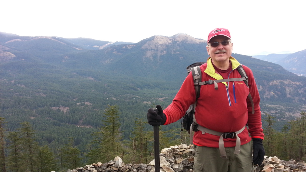
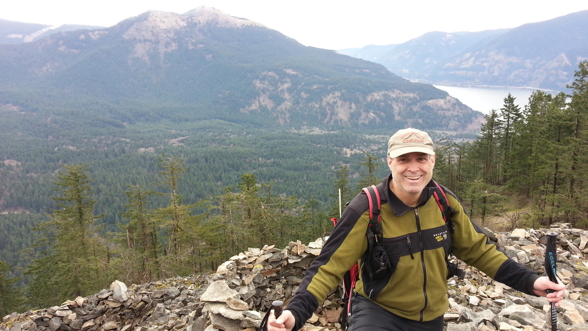
A pleasant 2.5 mile (round trip) hike with perhaps 1000 feet of elevation gain ending in an operating position with a nice view of the Columbia River Gorge. There are some subtle archaeological aspects to this summit - hikers should be aware and read the signs to avoid disturbing any 'structures.'
Directions: You can use Highway 14 from Vancouver or save some time and drive I-84 and cross at Bridge of the Gods in Cascade Locks (toll). Head east on Highway 14, turn north onto Wind Mountain Road at around Milepost 51. Next, turn right after 1.4 miles onto Girl Scout Road where after a quarter mile there is a parking area. The subtly marked trailhead is about 200 yards down the continuation of this road on the right.
This summit sits relataively low in the Gorge and 2m FM will usually only reach other summits and those driving through on I-84 or Highway 14 - don't expect to reach stations in the Metro area without a good antenna.
See also:
http://www.portlandhikersfieldguide.org/wiki/Wind_Mountain_Hike
http://www.nwhiker.com/CGNSAHike51.html