A near "drive-up" two-point summit in the Clackamas River drainage with good views. This area is likely busy in the summer but it was mostly quiet on this December day. Note that this area seems to be a popular place for target practice, although there are some areas where the discharge of firearms is prohibited.
[NOTE FOR JULY 2015 - MEMALOOSE ROAD IS CLOSED. CHECK WITH FOREST SERVICE BEFORE HEADING UP.] Take Highway 224 east from Estacada about 10 miles and turn across the one-lane green steel bridge with a sign "Memaloose" - this is NF-45. You'll have pavement on this road for most of the seven miles until the right turn to an unlabeled (except for the no shooting sign) road heading upward near 45.132 -121.183. The road appears to get rougher here and may not be suitable for passenger cars. Two miles on this road will get you within about 3/10 mile of the summit. From the road berm head up towards the summit, past a small weather station. There is a nice place to sit with views to the east on the summit proper.
We have also tried a not-recommended south approach to Wanderers Peak - if you are into bushwacking up a grown-over cat track this would be the route for you.
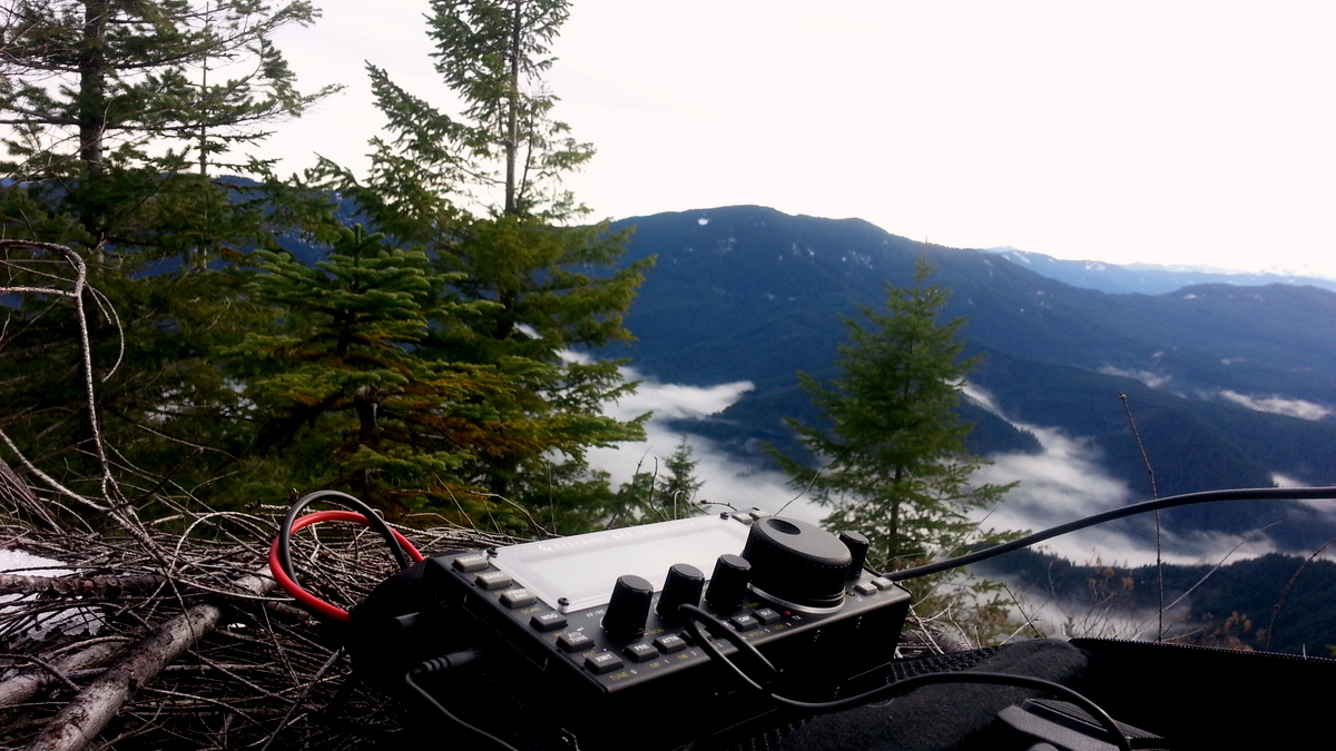
We had calm weather with veiled sun and a quick bunch of 22 contacts on 20m and a few more on 30m CW - one with RZ3EM who gave a 559 report to our 10W using a 20m vertical antenna.
For an easy twofer in one day, consider nearby South Fork Mountain. The trailhead is just a little farther along NF-45.