UPDATE January 2021 - Green Mtn has been posted PERMIT REQUIRED FOR ALL ACCESS by Weyerhauser.
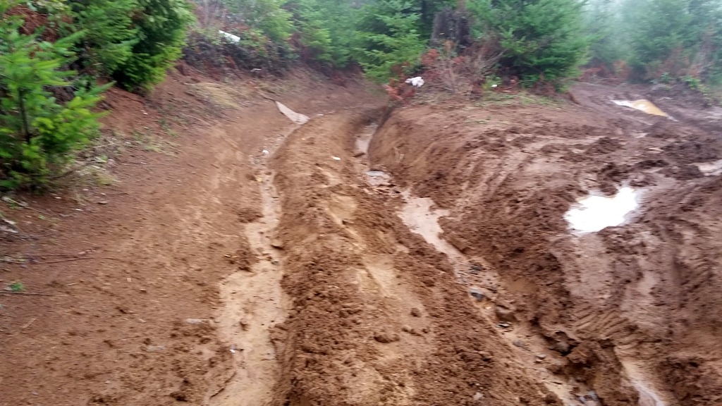
Here's a fairly accessible activation close in to Portland that could offer nice views...on a clear day. The road is passable to a certain point in a passenger car - past the first berm and you'll find the road rather...rutted (see photos). OR -- follow the directions from Mark-K7EEX and have a much better time: http://www.pnwsota.org/blog/k7eex/2017-september-09/green-mountain-oreg….
Head out Highway 26 and turn north on Pihl Road about 6 miles past the Banks exit. Turn left and continue up Green Mountain Road until a right turn onto Buxton Lookout Road (some maps call this Green Mountain Road). This continues for a. The road turns very difficult past the berm located here: 45.7361° -123.1442°. It's about 6.5 miles all told from 26 to where I parked. (Note that Green Mountain Road can be used from Highway 26 also - it's just a bit longer.)
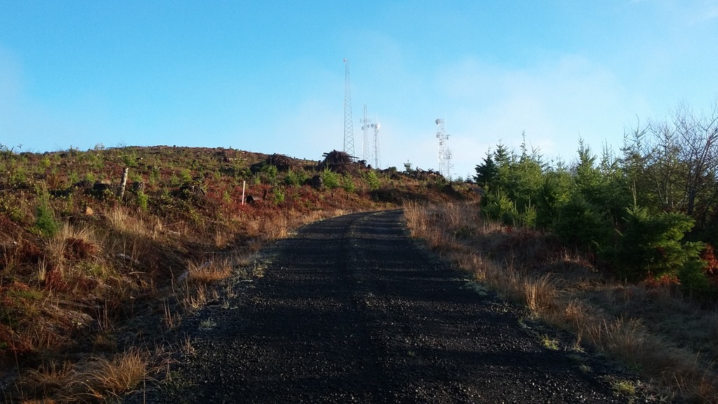
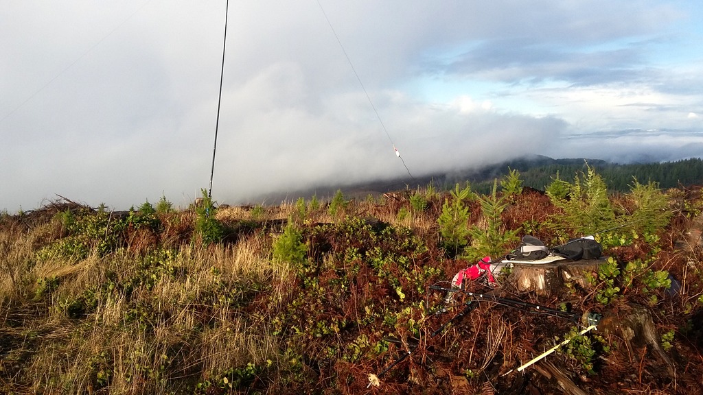
You'll hike up this severely rutted road for 0.75 miles to find yourself on a well-graded gravel road where you'll continue up 0.7 miles more to the summit. I took the first left turn at the summit to end up away from the several large radio com sites. There were no trees for antennas but stumps for perching. No RF issues with the com sites. HF QSO were made on 40, 30, and 17m and also 2m, 70cm, 33cm and 23cm.