[Left this in draft form too long, time to attach pictures and publish]
After a failed summit attempt the previous day, I was able to summit Buzzard Butte and make an activation. Although I was only able to make 2 contacts, I enjoyed the activity (first activation for this summit!) and look forward to future activations.
As it turns out, there are multiple forest roads that lead to the summit. As written in the previous article, going up via Farmer Creek Rd -> NF1023 -> NF1004 is doable, but you'll have to start hiking at (45.258110, -123.904980) due to an unmaintained road that is impassable by vehicle. This means about a 3 mile hike and 1000' of elevation climb to the summit.
My successful route took an approach from the east, starting from Sandlake Rd north of Tierra Del Mar, I drove the forest road that starts at (45.2780, -123.9402) -- look for the tsunami evacuation route sign. This road is reasonably well maintained but there was one narrow spot in the vegitation, so don't take the car with the nice paint. Otherwise it was very drivable in a 2wd vehicle at moderate gravel road speeds.
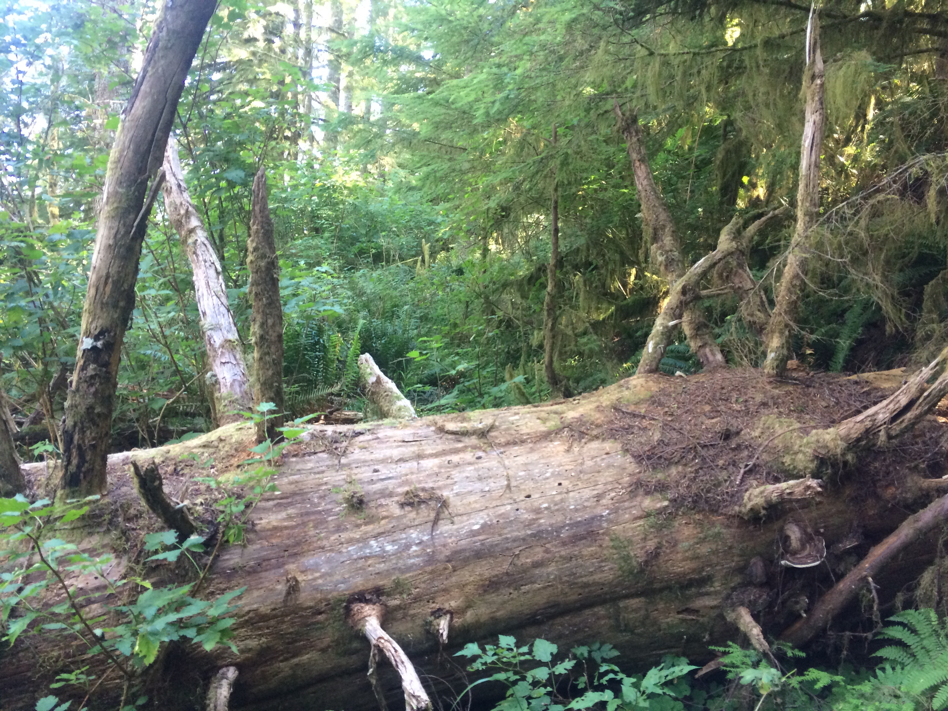
The summit has 2 final approaches; the old official road/trail used when Buzzard Butte was a fire lookout, and a more recent trail created by two-wheeled sport transport afficionados. I parked at the fork (45.2746, -123.8918) and hiked the old trail on the way up, and found it a pleasant enough mile or so. I don't believe this trail has been maintained since the lookout was destroyed in the 50s, so there were a few grown-in spots that required agile branch ducking. There's also one large felled tree across the path very close to the summit, but easy enough to clamber over (just make sure your phone doesn't jump out of your pocket as mine did--a bit of a backtrack was needed once I realized what happened).
If instead you choose to take the bike trail, you can continue on Buzzard Creek Rd / NF1004 as it goes around the perimeter of the summit. There is room to park in a turnout near the beginning of the trail (45.2767, -123.8757), and the trail itself is a very direct path straight up to the summit, only a few hundred feet with 200 feet of elevation climb. Do not take this path if it has been raining recently; it has no gravel or vegetation and will likely be a slippery mud slide.
I also suspect you can get to the same trailheads by approaching from the east on a couple of other forest roads. I did not try those routes so that pathfinding is left to another activator. I have captured GPS routes of the paths I took, if anyone is interested.
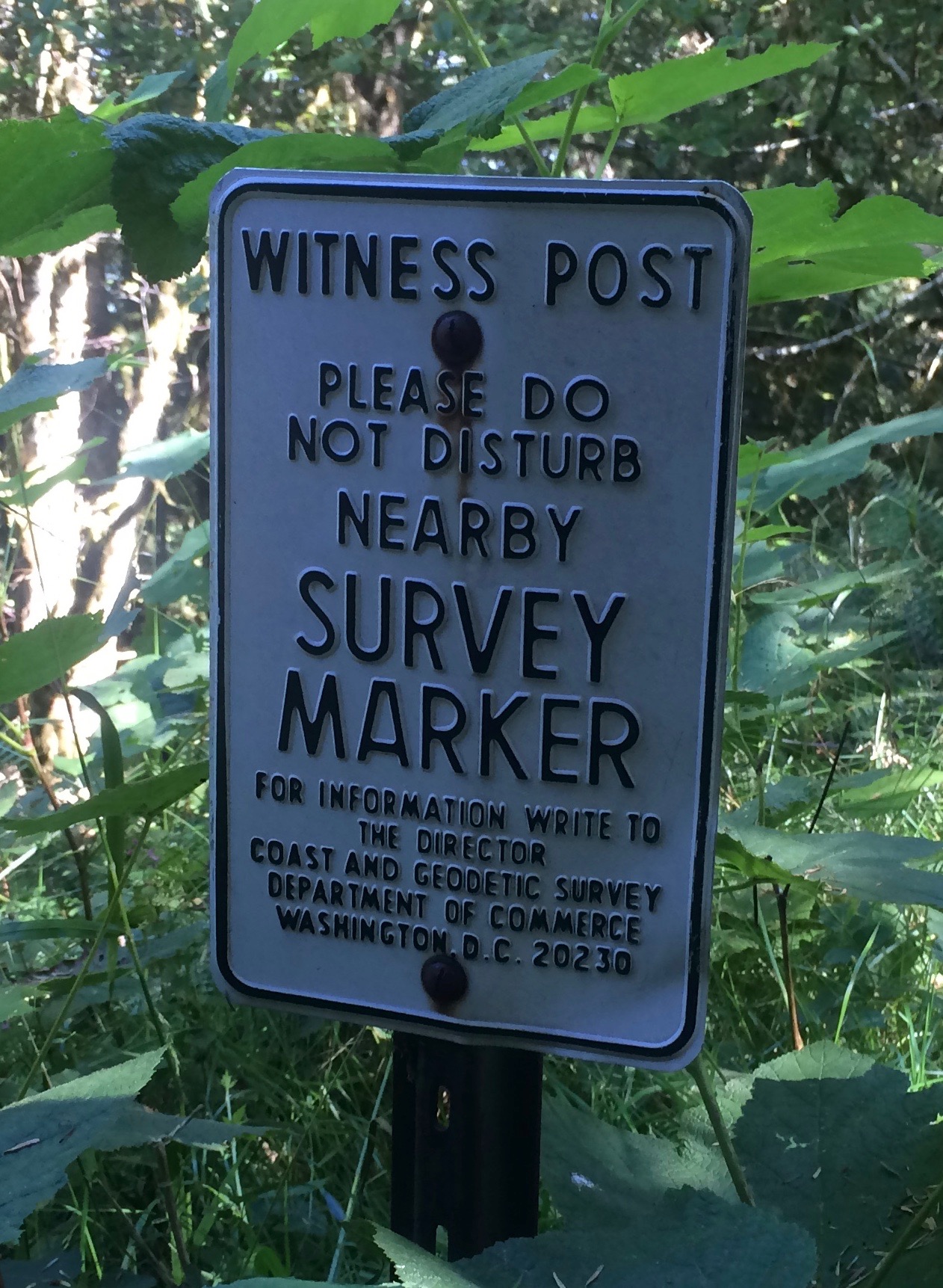
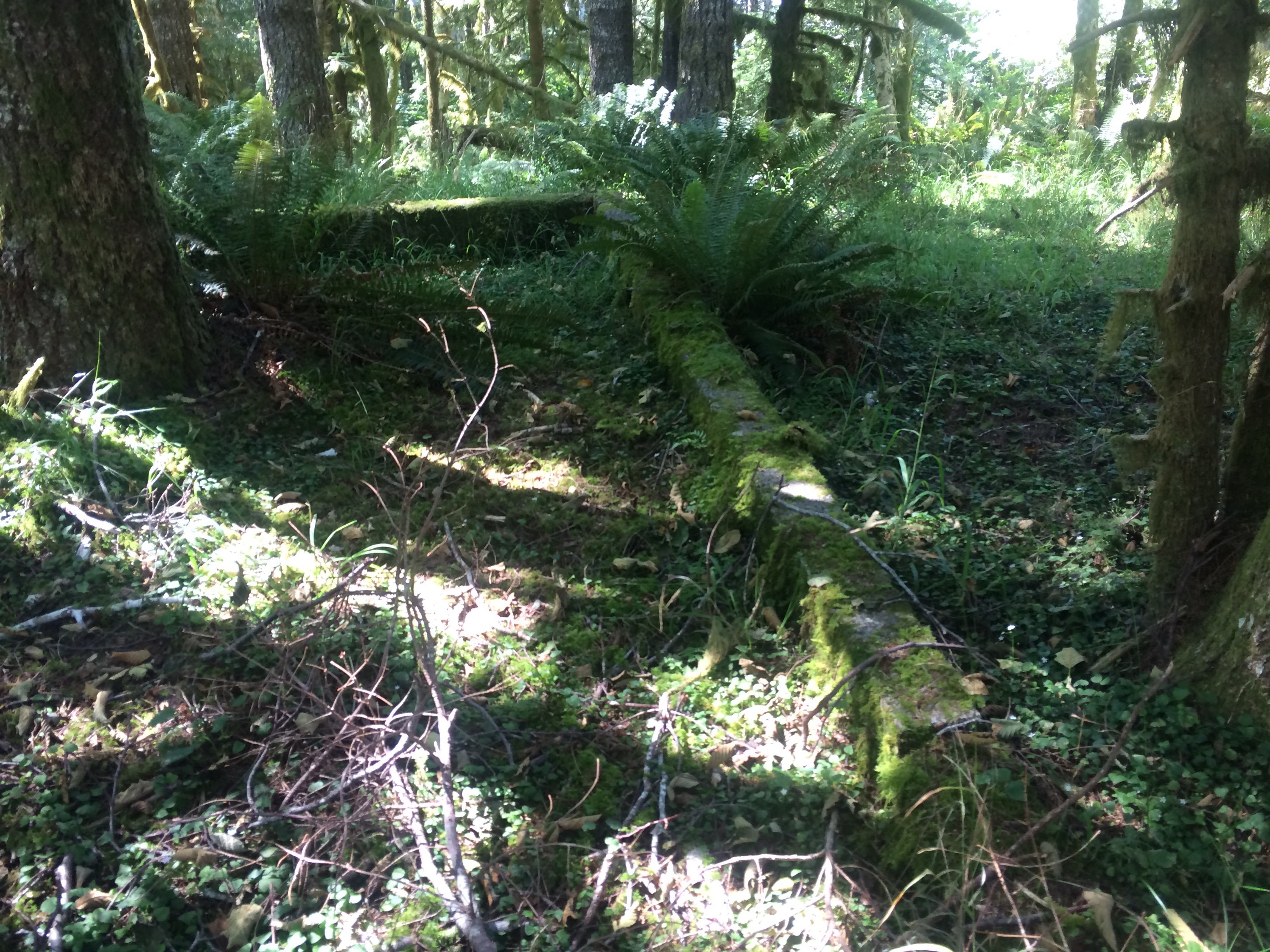
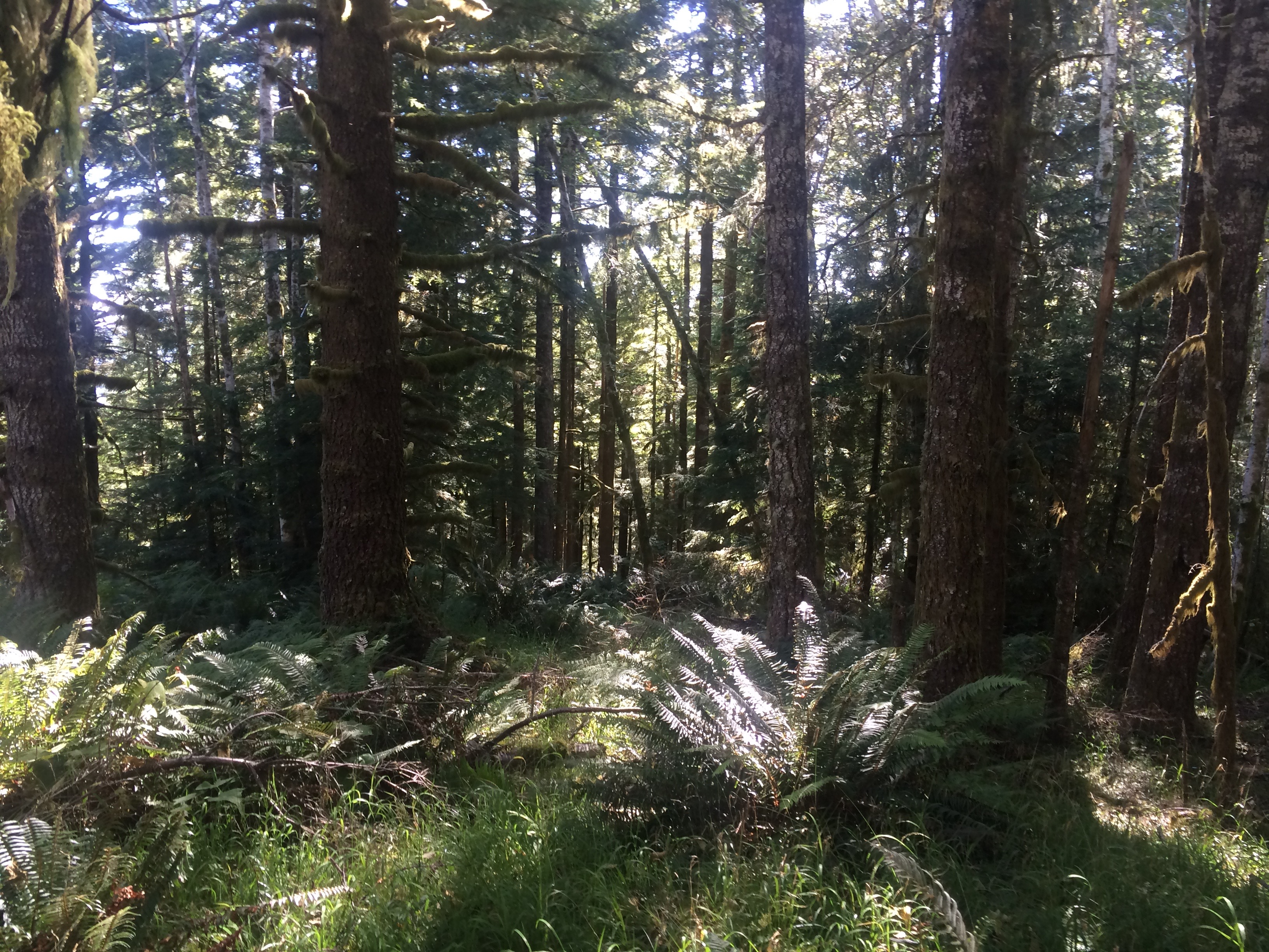
The summit itself is a medium density forest, looking largely untouched since the fire lookout. The trees are dense enough that there's no real view to be had, although I did find a sign indicating the nearby survey marker, and the foundational remains of the lookout, which I used partially as my operating position. The flying insects were atrocious and I would not go again without a net or tent. My bug spray did seemingly no good and I ended up with dozens of mosquito bites. Needless to say this didn't help my patience as I sat there operating, and at least partially contributed to my low contact count. Still, if I'm in the area again with a few hours to kill, I may likely activate it again.