Here's a six point summit to tackle on a nice summer day - we tried it with lots of snow and found a blizzard at the top in mid-April. The trail is on a road of about 7 miles round trip and about 1800 feet of gain.
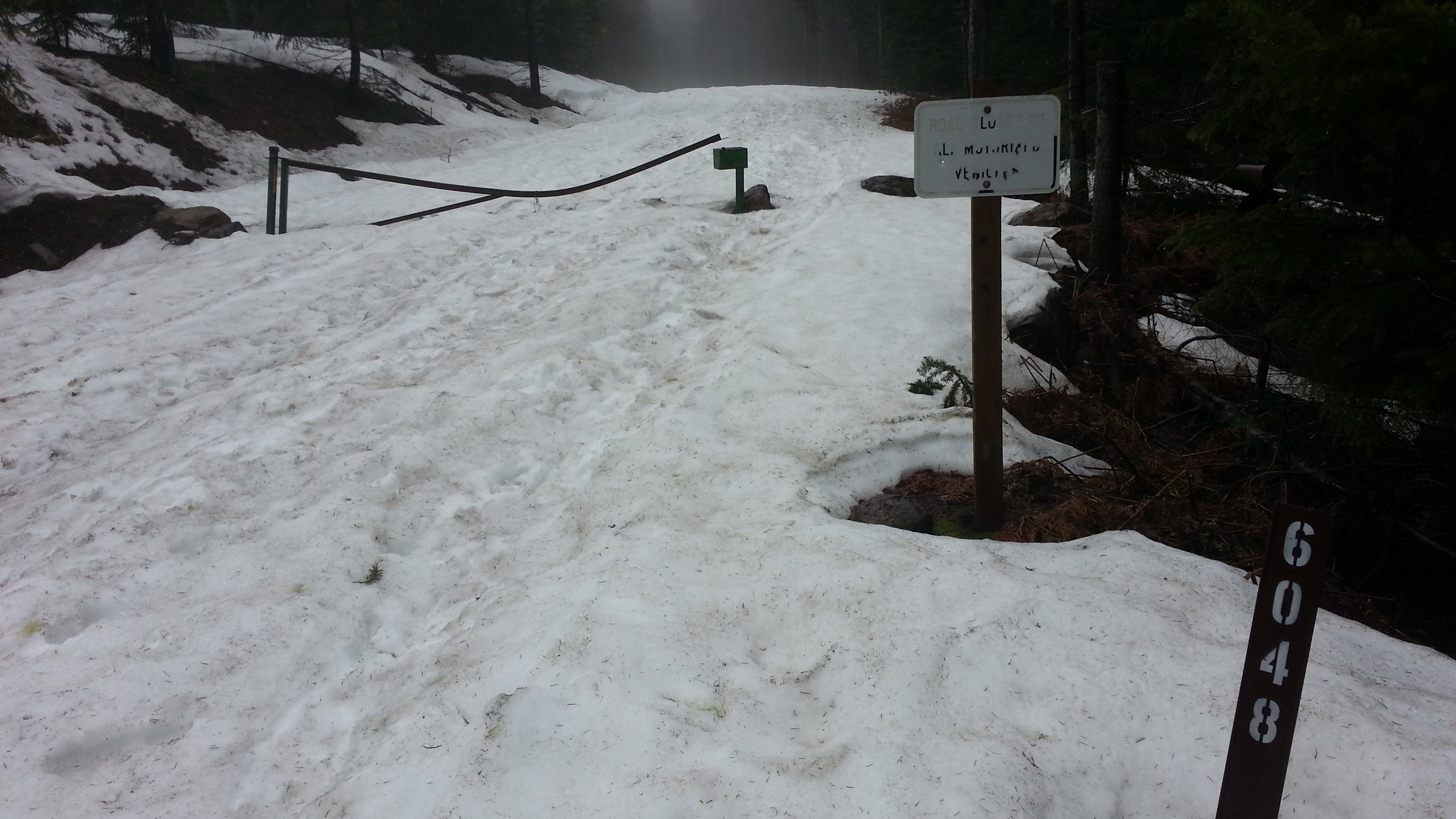
From Portland, take I-84 to Cascade Locks and cross the river on the Bridge of the Gods (toll). Or take Washington 14 out from Vancouver past the Bridge of the Gods, through Stevenson and continue east on 14 to turn north towards Carson about four miles past Stevenson. After 5.7 miles on this Wind River Highway, turn right on Old State (you may see Old State earlier - turn at the second) and look for Panther Creek Road and turn turn left after just 1/10 mile. Panther Creek Road will turn into Road 65 and you'll head north on this paved forest road about 8.2 miles to "Four Corners." Turn right onto Road 60 for 1.5 miles to the gated Road 6048 - this is your trailhead for Red Mountain. Park here and follow the road to the summit.
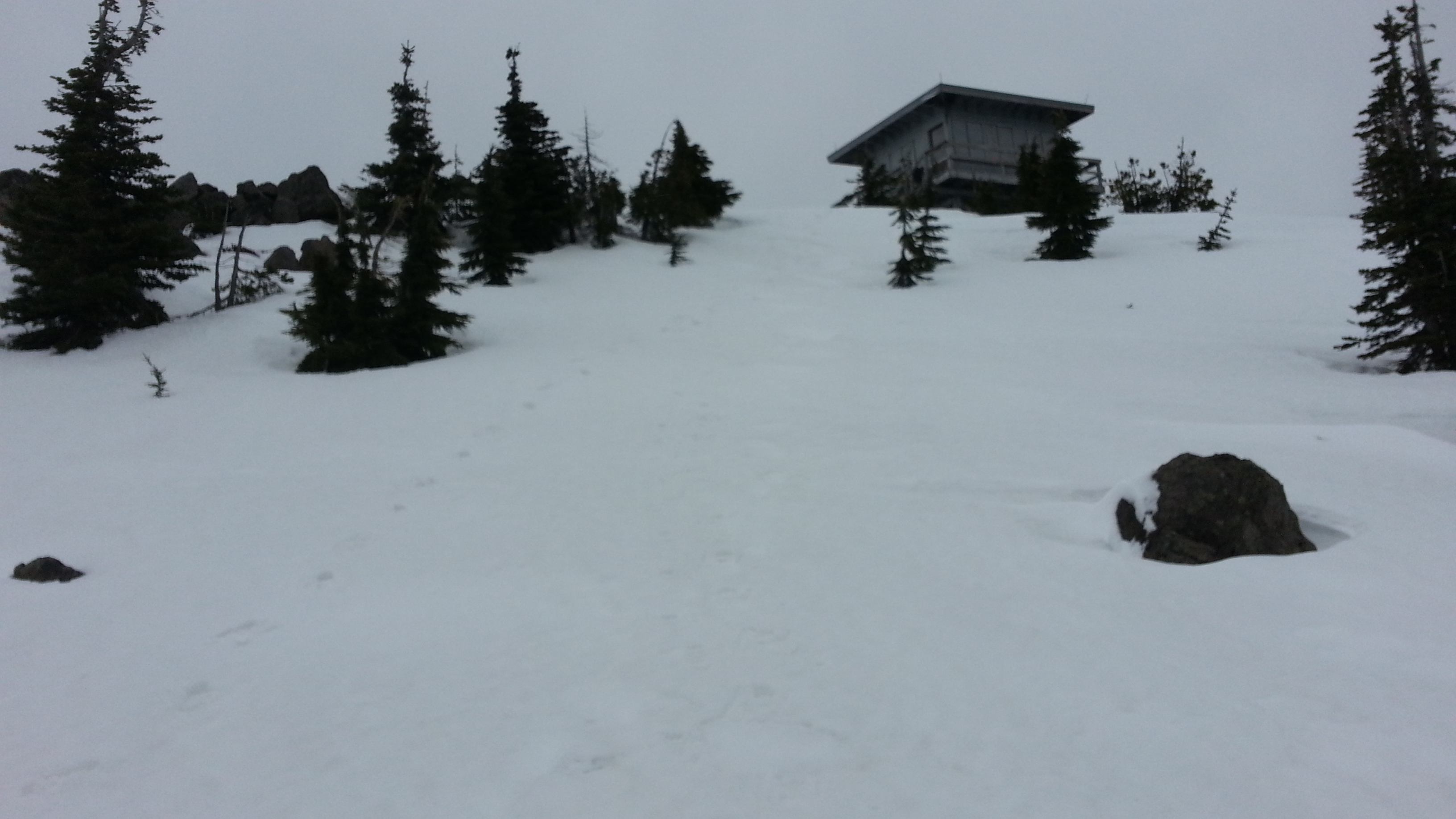
There is a lookout on the summit and also a garage - the garage was open and made for some shelter from the wind and snow. There are some small trees on the summit that could be used for antennas. See this for more information but not such great directions: http://www.summitpost.org/red-mountain/883583. You can also hike from the Falls Creek Horsecamp - See Taylor-K7TAY's report here: http://www.pnwsota.org/node/44.