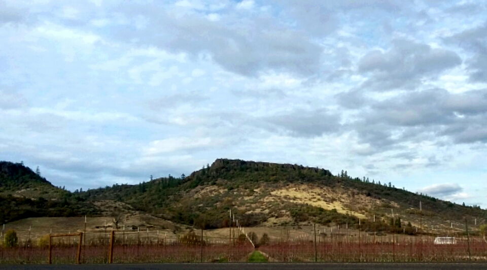
Upper Table Rock is a very pleasant 1.25 mile, 736 foot gain (one-way) hike east of Central Point, Oregon. The trail is quite popular, but you should easily find a place to activate away from the crowds on the huge summit. The trail is wide and well-maintained, but it may be challenging to find a spot to park in the lot on busy weekends - it was about 80 percent full on a nice November day.
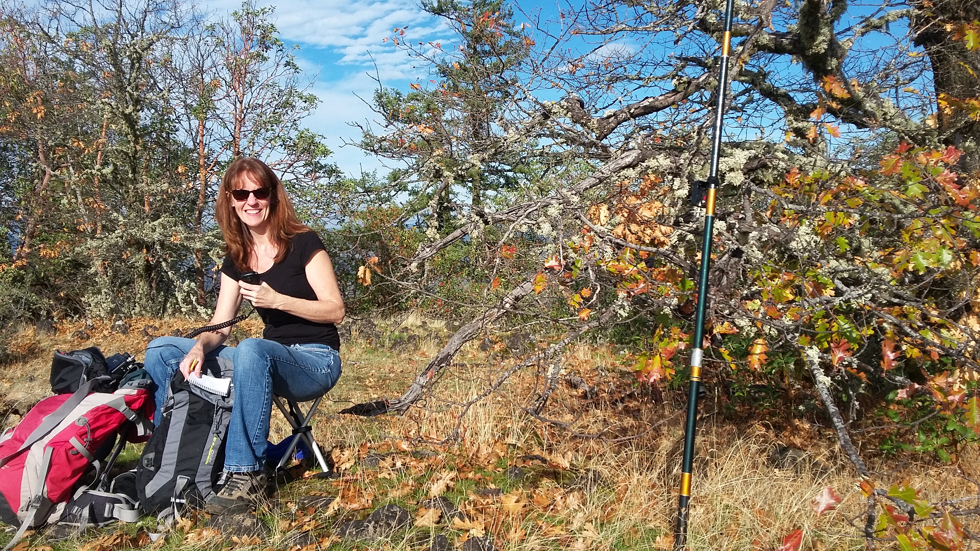
The actual summit of Upper Table Rock is about 1.4 miles west of where the Upper Table Rock trail ends. But not to worry, the 'table' of Table Rock is quite flat over that distance - you'll be less than 60 feet below the high point and in the Activation Zone just about anywhere on the mesa. We found a spot near some of the ubiquitous oak trees to lean our antenna pole against, and made quick work of qualifying the summit on 20m SSB.
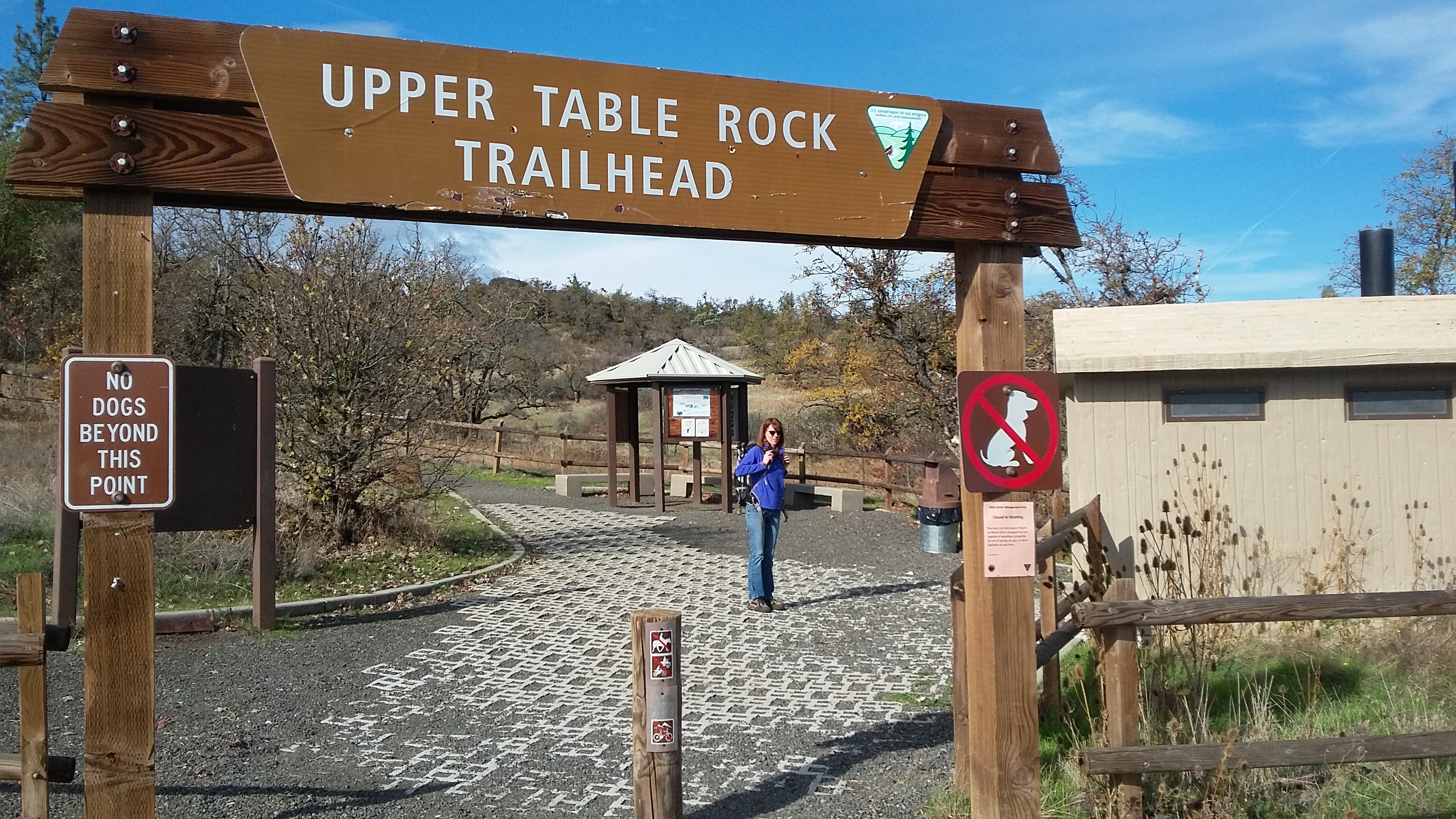
The Upper Table Rock Trailhead is administered by the BLM and is probably easiest found from the address at 10395 Modoc Rd, White City, OR 97503. There's some information here and Andrew-NO6E also has a trip report with another link with directions. There's a privy at the trailhead and trail information on wildlife and flowers you will find in the spring. Note that dogs are not allowed on the Upper Table Rock trail.