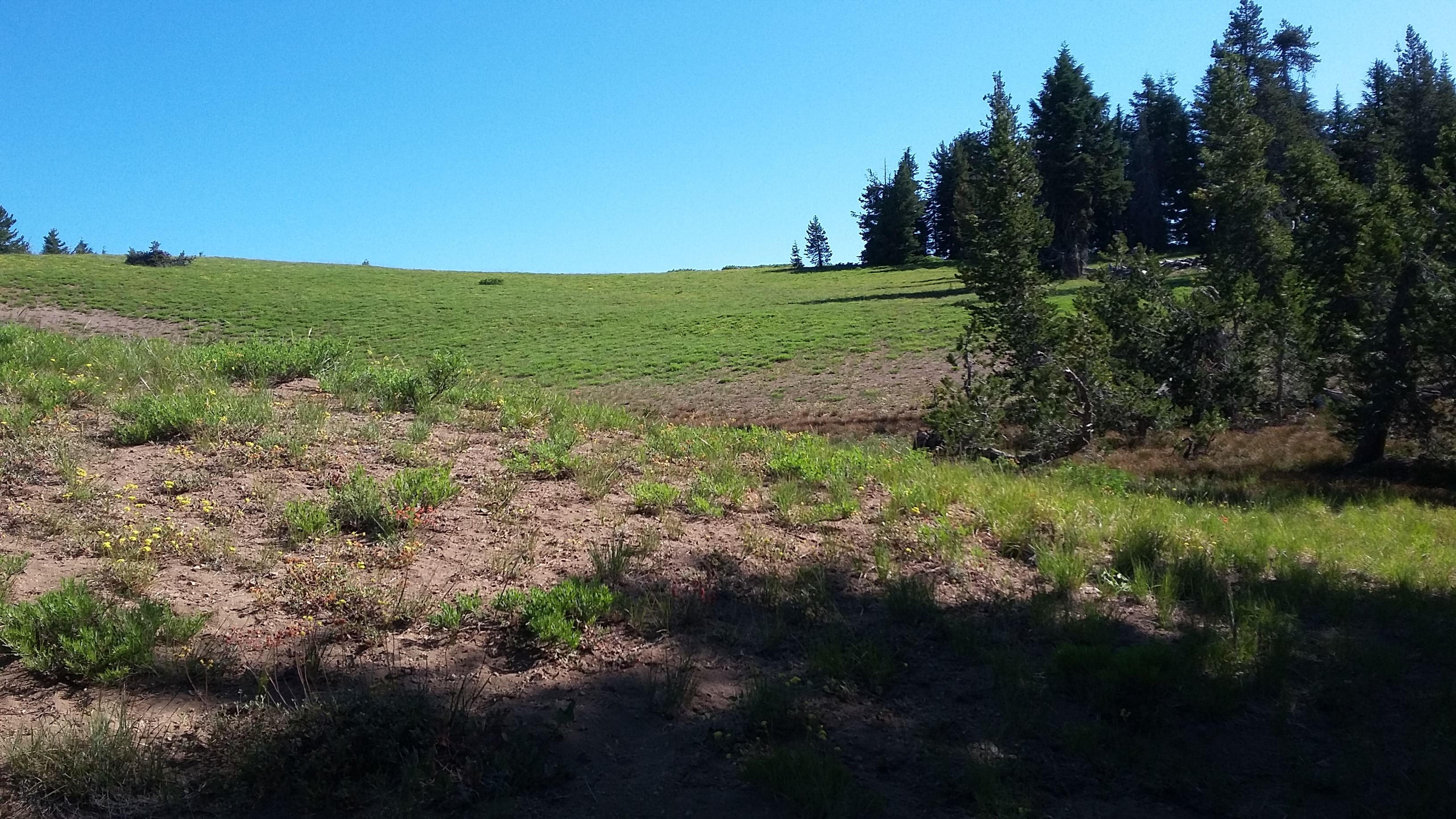
Crater Peak is a pleasant trail hike in Crater Lake National Park. It's been covered in a trip report by Phil-NS7P, so this should be considered a supplement. It's about 6.4 miles round trip, and although the sign at the trailhead says 765 feet of gain, that's net - the gross is more like 1,364 feet with all the ups and downs along the trail.
The East Rim Road is closed until the snow is clear - sometimes into June. You can find the trailhead about 3.1 miles from the park headquarters and visitor center at the Vidae Falls Picnic Area. In early August of 2019 the trail was a haven for mosquitoes - they were prevalent until the climb up the cone of Crater Peak.
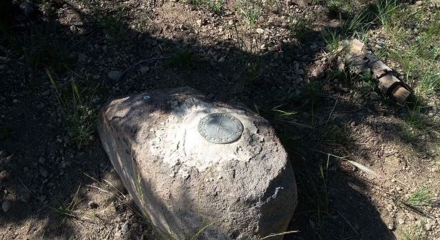
There are several decent places to set up at the summit - I found some shade just a few meters from the USGS marker for myself and a wire antenna.
Remember that this is a national park and that everything is protected - trees, rocks, soil. No tying antennas to trees or putting stakes in the ground. Broken Arrow Campground at the south end of Diamond Lake is a convenient and plesant place to stay compared to the NPS campgrounds: https://www.recreation.gov/camping/campgrounds/231979.