Crater Peak is a small 7263’ shield volcanic summit that is located a few miles south of the lake.
The trailhead can be accessed at the Vidae Falls picnic area that is about 3 miles east of the Park Headquarters. Drive back into the picnic area and find a place to park. The trail begins here. The trail is about 2.7 miles each way with about a 600’ net elevation increase. The first two miles are moderately strenuous, but the altitude over this segment gently rolls along without any big ascents. You keep wondering where the mountain is.
You find out that almost all of the climbing is over the last 0.7 mile or so. After this strenuous segment, you pass a hillside meadow that occupies the saddle that separates the two peaks that are in a NW/SE orientation. The southeast peak is the higher summit. Near that is where you will want to set up for the activation.
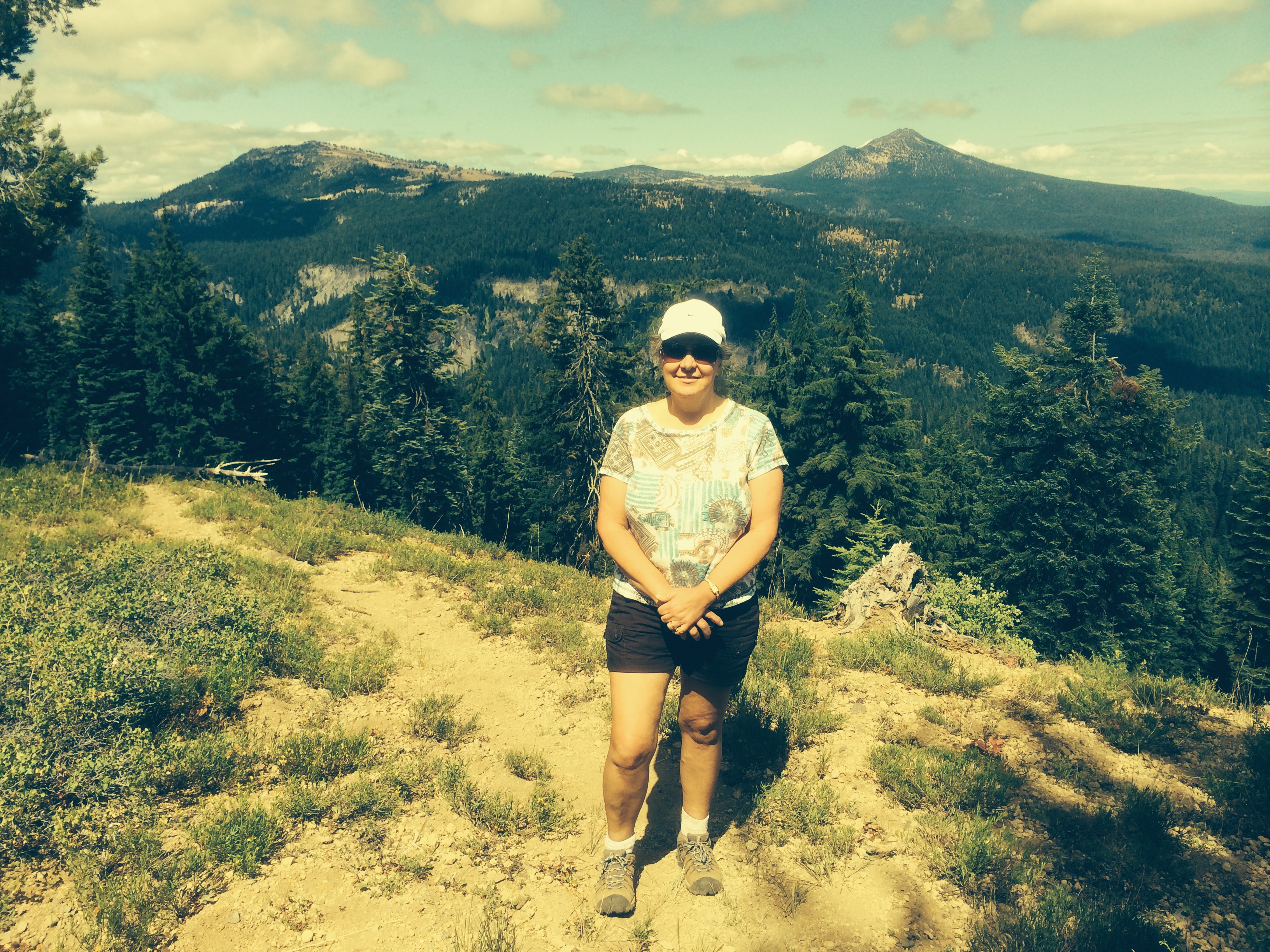
Although you can’t see the lake from the summit, there are beautiful views of the southern part of the park and the Klamath Basin. There are plenty of trees and shrubs to use for antenna anchors.
The trail will generally be covered in snow from October through July.