3.8 mi, +2,100 feet, -100 feet
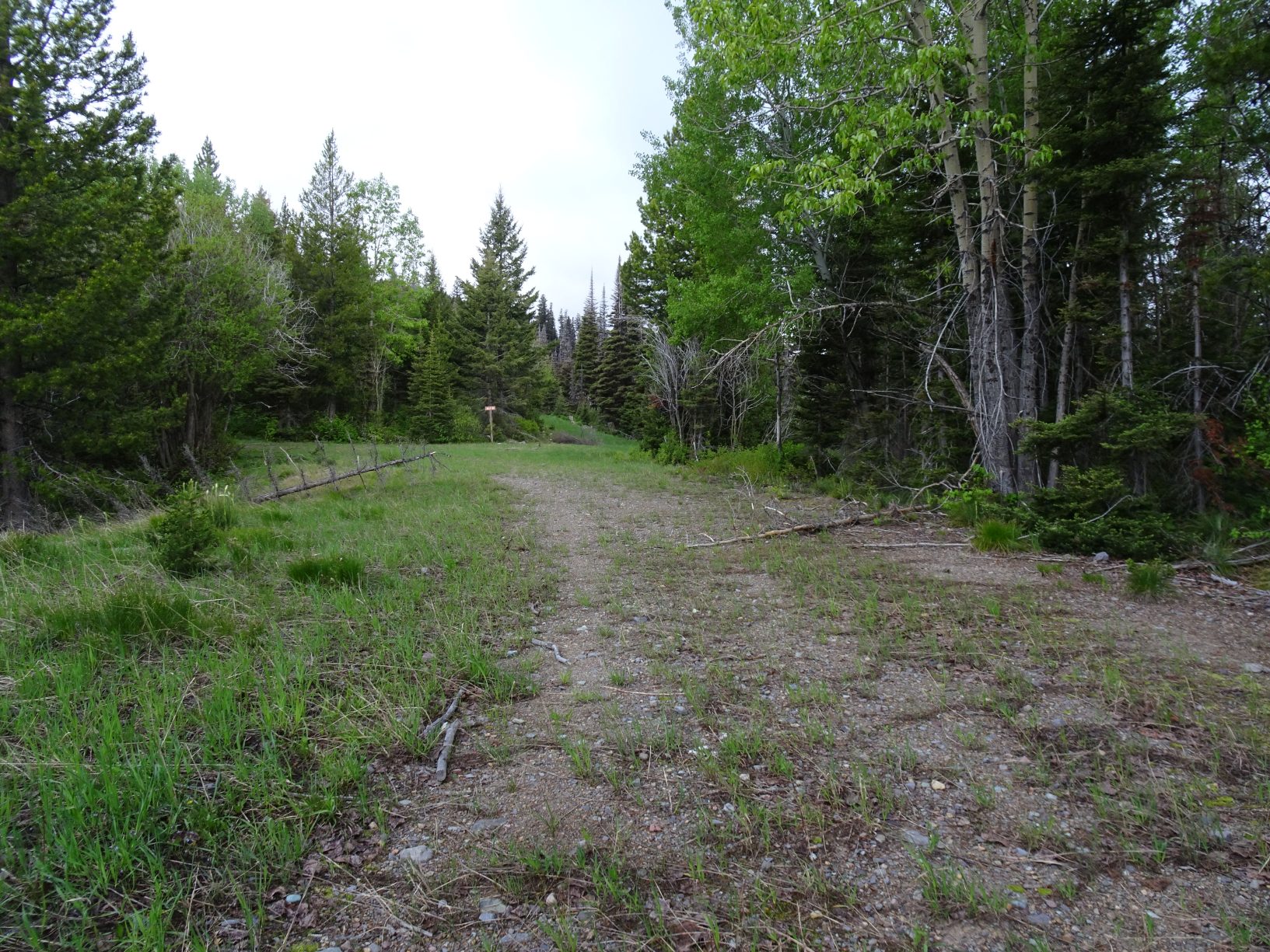
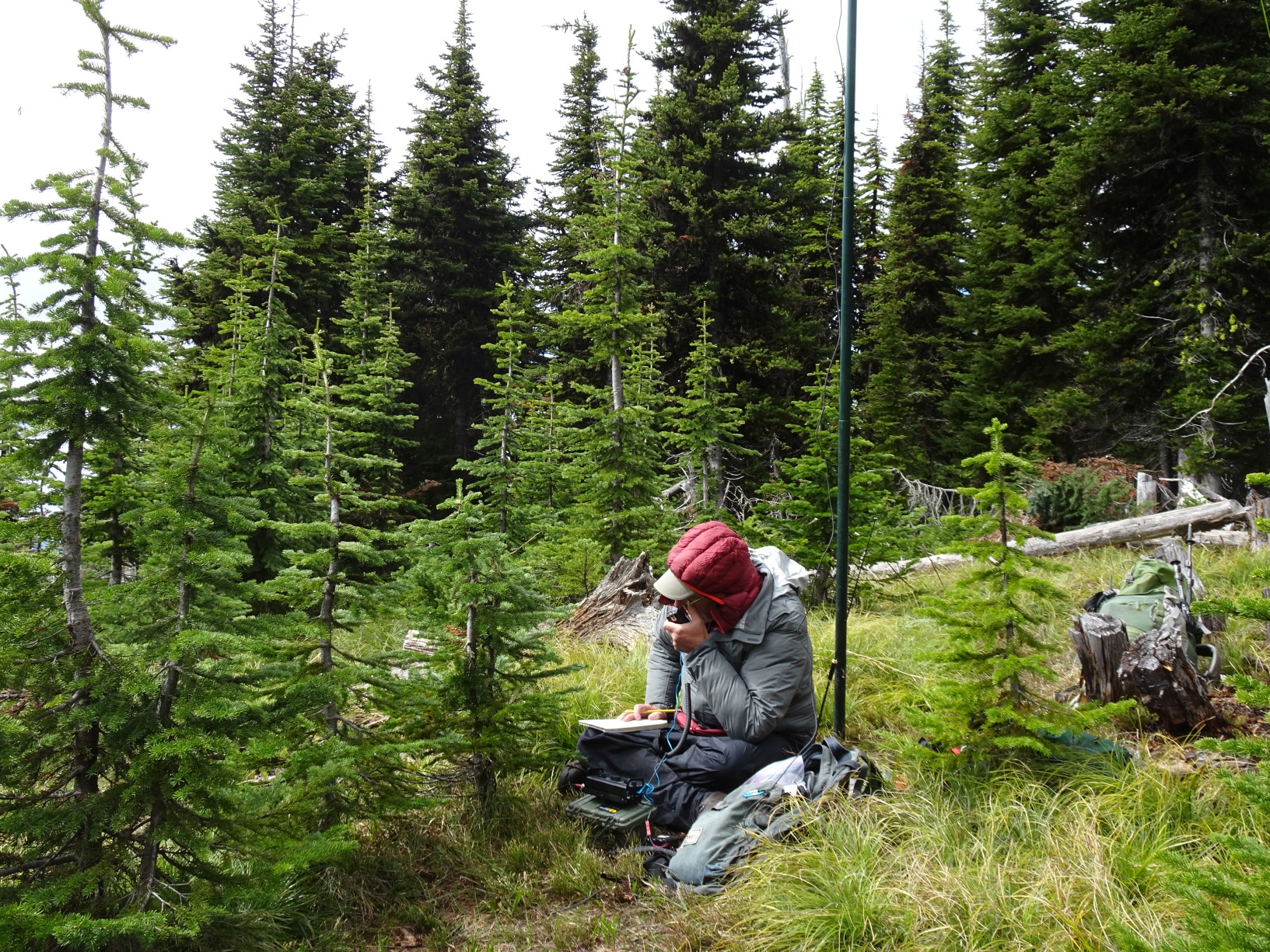
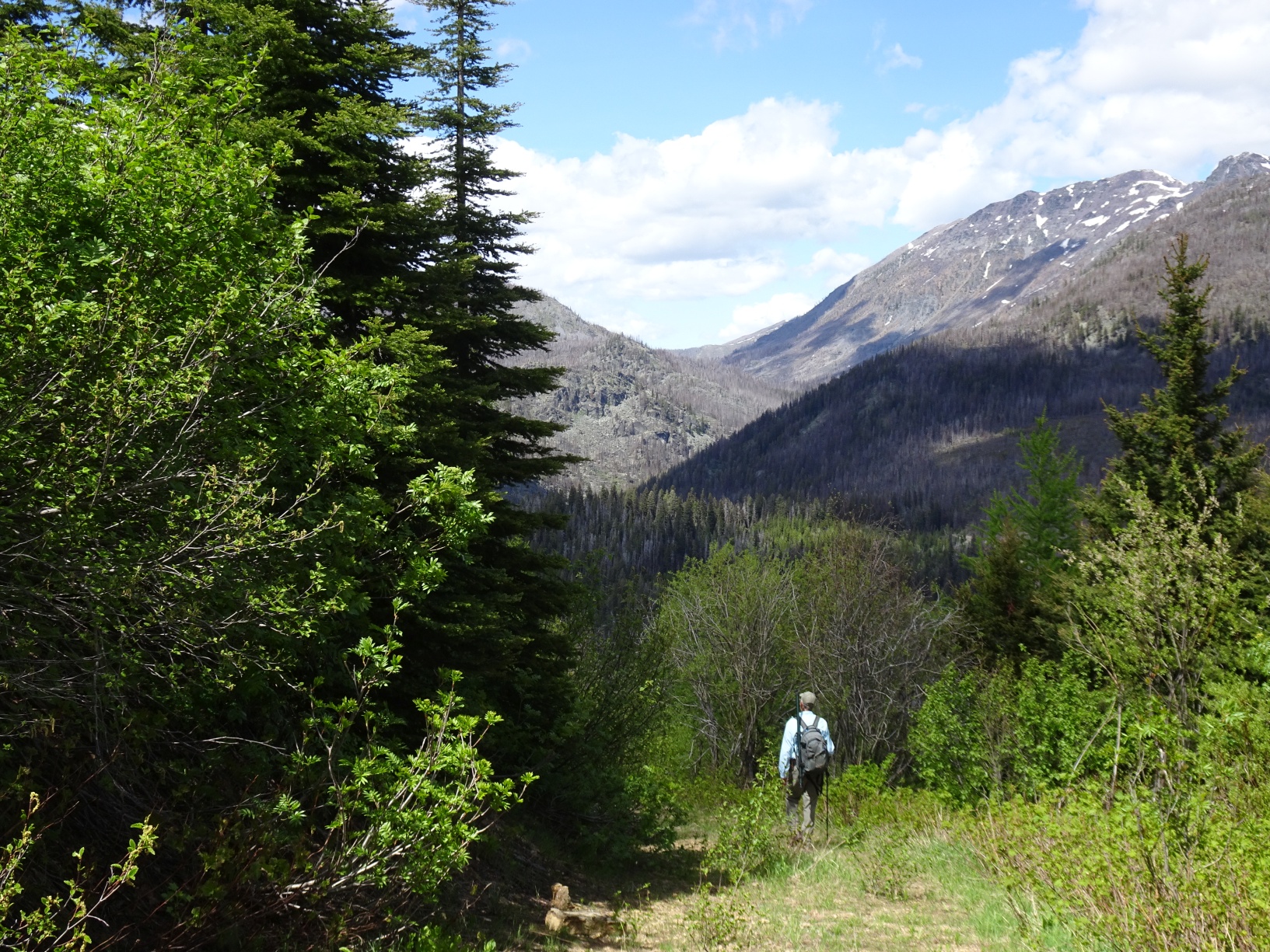
Turn north from Hwy-200 1-mile mile west of Lincoln onto the Beaver Creek Road. Follow the Beaver Creek Road 9.3 miles and park at the turnout just southeast of Reservoir Lake. The hike begins as a 2-track that gently winds up the mountainside before degenerating into a bushwack. The 2-track has a few branches, but the depiction on the 7.5’ USGS map is reasonably accurate and generally as follows: After leaving your vehicle and crossing Beaver Creek, continue along the road southeast before switchbacking to the west to an intersection shortly thereafter that has a sign (1837 B1). Continue straight (west) to another intersection and turn left here. The road will then climb steadily until it finally withers away via partial reclamation on a steep sidehill. Note that the actual end of the 2-track is a bit farther (and higher) than indicated on the 7.5’ quad sheet. Leave the trail at this location and climb directly up the ridge to the summit. The ridge hike is a bit of a bushwack, but eventually leads to the summit with no particular difficulties. The summit area is generally forested, but there is an open meadow that is a nice location to setup.