7.0 miles, +2,600 ft; -1,800 From Elk Mountain TH
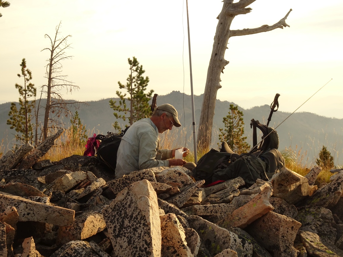
I activated the way out from the Wylies Peak area on the final day of a 15-day backpacking trip; but the route description is the more direct route across Goat Creek.
It is a relatively long drive to the trailhead on good Forest Service Roads. Most vehicles should be able to make it with no troubles, but some clearance is helpful. To reach the trailhead (beginning at the Red River Ranger Station on Hwy 222/57, drive 0.3 miles south, and turn left (east) on the “Magruder Corridor”/”Nez Perce Trail”/ FS-468. Continue 18.8 miles and turn left on the Green Mountain Road (FS-285). Follow this road another 17.4 miles north, past Windy Saddle, to the Elk Mountain Trailhead. There is good parking, a small stream, and a latrine at the Trailhead.
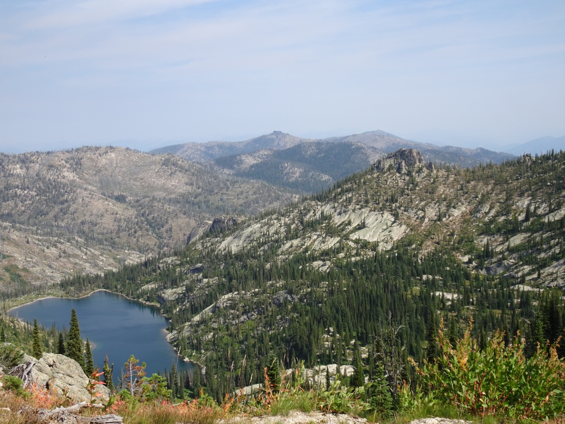
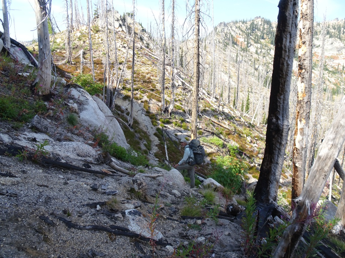
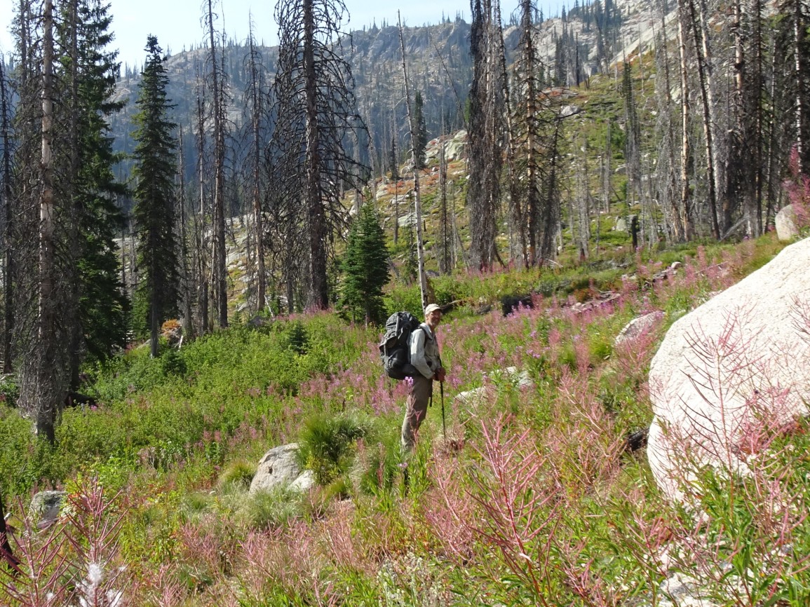
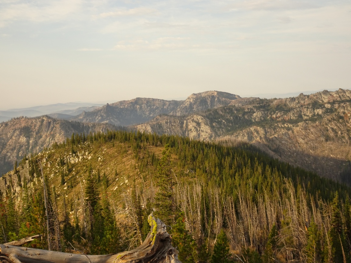
The trail is very well maintained and leaves from the east side of the parking lot. Follow the trail over the shoulder of Elk Mountain, then down its north ridge through a pretty meadow, and onwards as it descends towards Bilk Mountain. The trail switchbacks steeply down the east side of the Elk-Bilk ridge, then contours around the south slopes of the Bilk SE-Ridge before climbing back up to a trail junction in the saddle on the southeast ridge of Bilk. Continue straight (north) at the junction and drop steeply down to Goat Creek where there is good camping and some of the clearest water that can be imagined. The trail continues down Goat Creek a short distance, then winds north around the brow of a hill before becoming vague for a short distance as it continues north across a broad swale. The trail is more apparent again as it switchbacks steeply up the ravelly south face of the Bilk - Square Rock Ridge to eventually intersect the well maintained ridgetop trail (trail 602). The trail continues northeast and passes just below the summit as it enters a large 2012 burn. It is short off-trail hike to the top, which offers nice views of Wylies Peak, Boxcar Mountain and much of the surrounding area.