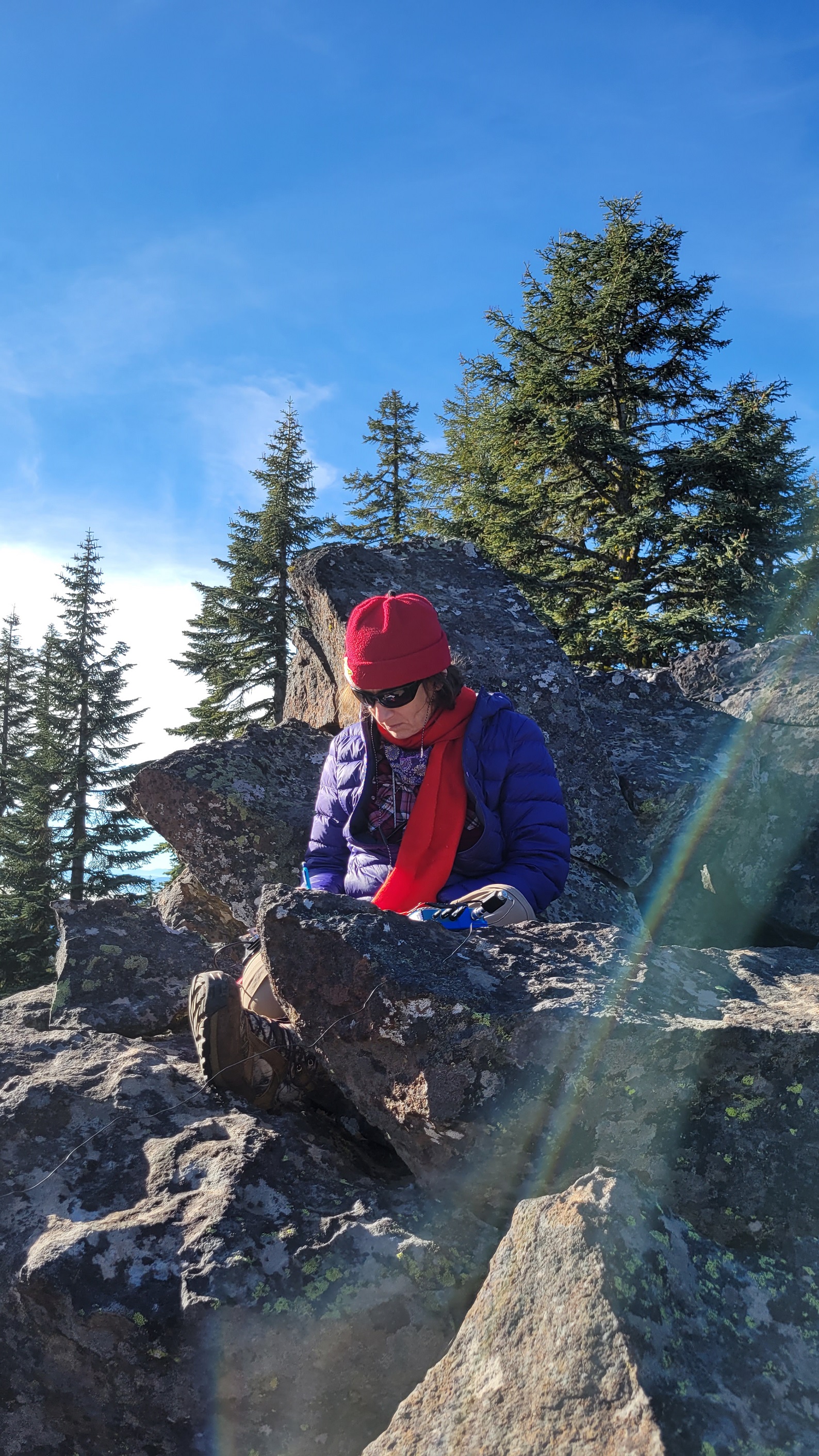
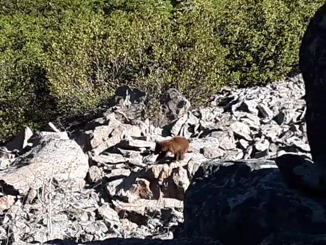
I have done Surveyor a couple times. The first time I had my closest experience with a bear as one started climbing up the very rocky summit ridge as I took a selfie on top, not seeing her below! I think it was a mama and a young one may have been in a den in the rocks that she pushed out that came around the ridge to where we were. It was quite an experience and I was glad I was not alone. Maggie treed the young bear which added to the excitement. It also could have only been one bear, hard to tell size of them all when caught off guard!
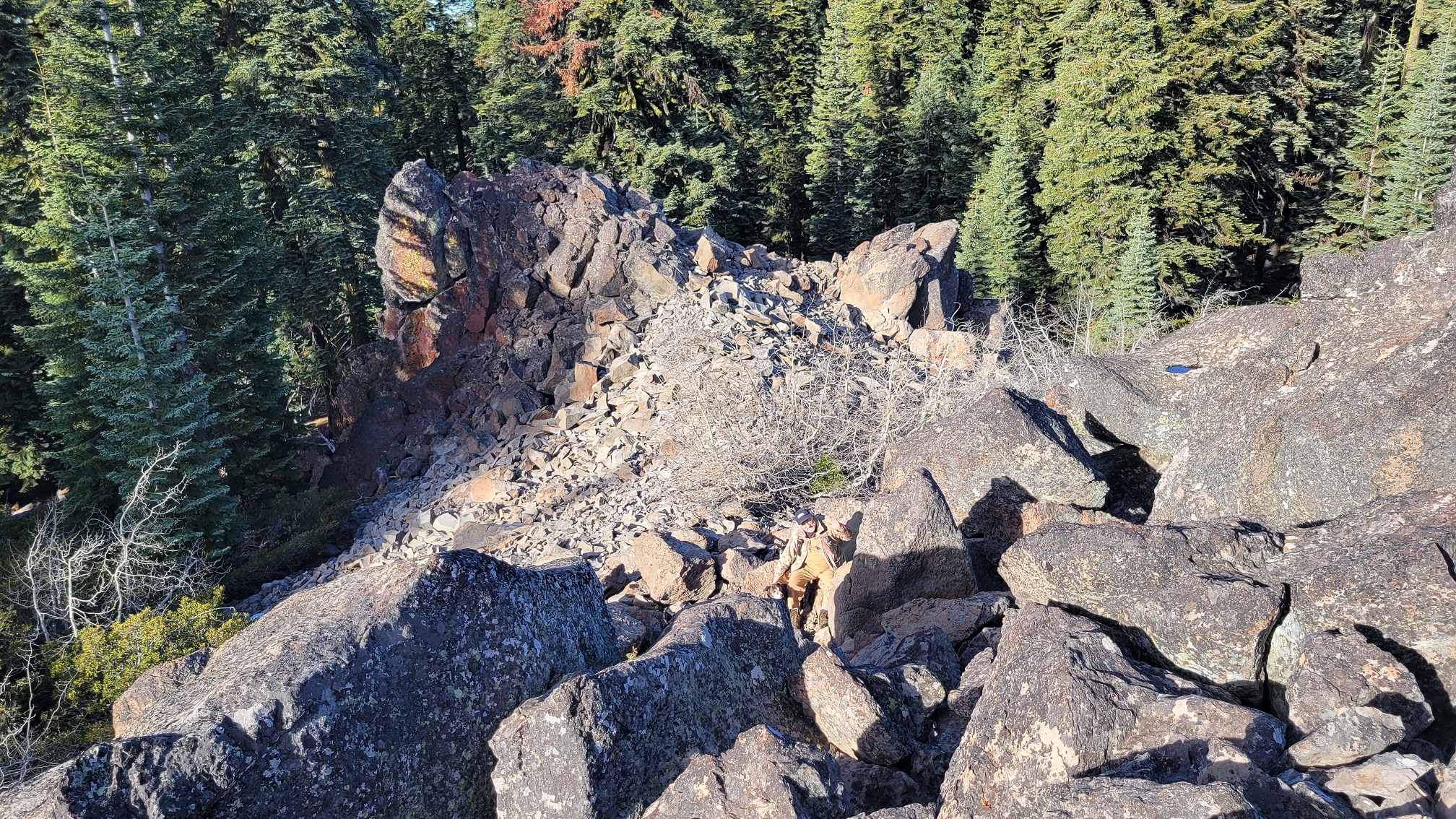
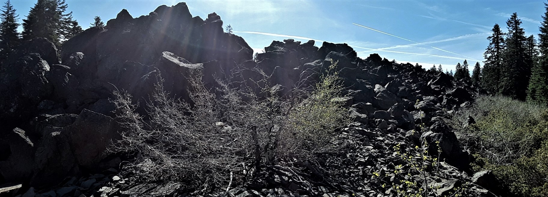
Surveyor is a short hike from the road, no trail but only about 1/2 mile RT through the timber. Surveyor is a big long boulder rock ridge and the base has lots of brush so you just need to find a clear path. I always have gone to a little saddle in the ridge at the northern end. It seems too risky to set up on the summit ridge of large boulders with deep crevices.
Take Keno Access Rd to Surveyor Mt Rd-38-6E-31, when you reach 39-5E-1.2 go right. We park at about 6300' and hike from there. Everytime I have gone to activate Surveyor I also go over to do Buck Mt.
de AG7GP
I added a screenshot for a visual of suggested roads to get from Surveyor to Buck