I approached this peak on a backpacking trip from the west, from Bear Lake, and hiked on Indian Heaven Trail to Lemei Trail; this made it 6 miles and 1100' gain. You can approach instead from Lemei Trailhead, making this a 9 mile, 2500' gain hike. If you can do this on a backpacking trip, it makes for a lovely set of peaks, all easy to access together, but it is one of the most famous and well-known backpacking areas in the Pacific Northwest - tent sites can be hard to come by, as we found one at 10:30 on Saturday morning and the lake was absolutely packed, both with day hikers and backpackers, by 11:30.
Getting there:
Indian Heaven Wilderness is approached via SR-14, Wind River Road, and NF 65, but this trailhead is best approached via SR-141 through Trout Lake until it turns into NF 24; follow NF 24 to the right where it meets NF 60 and take it to the trailhead.
The hike:
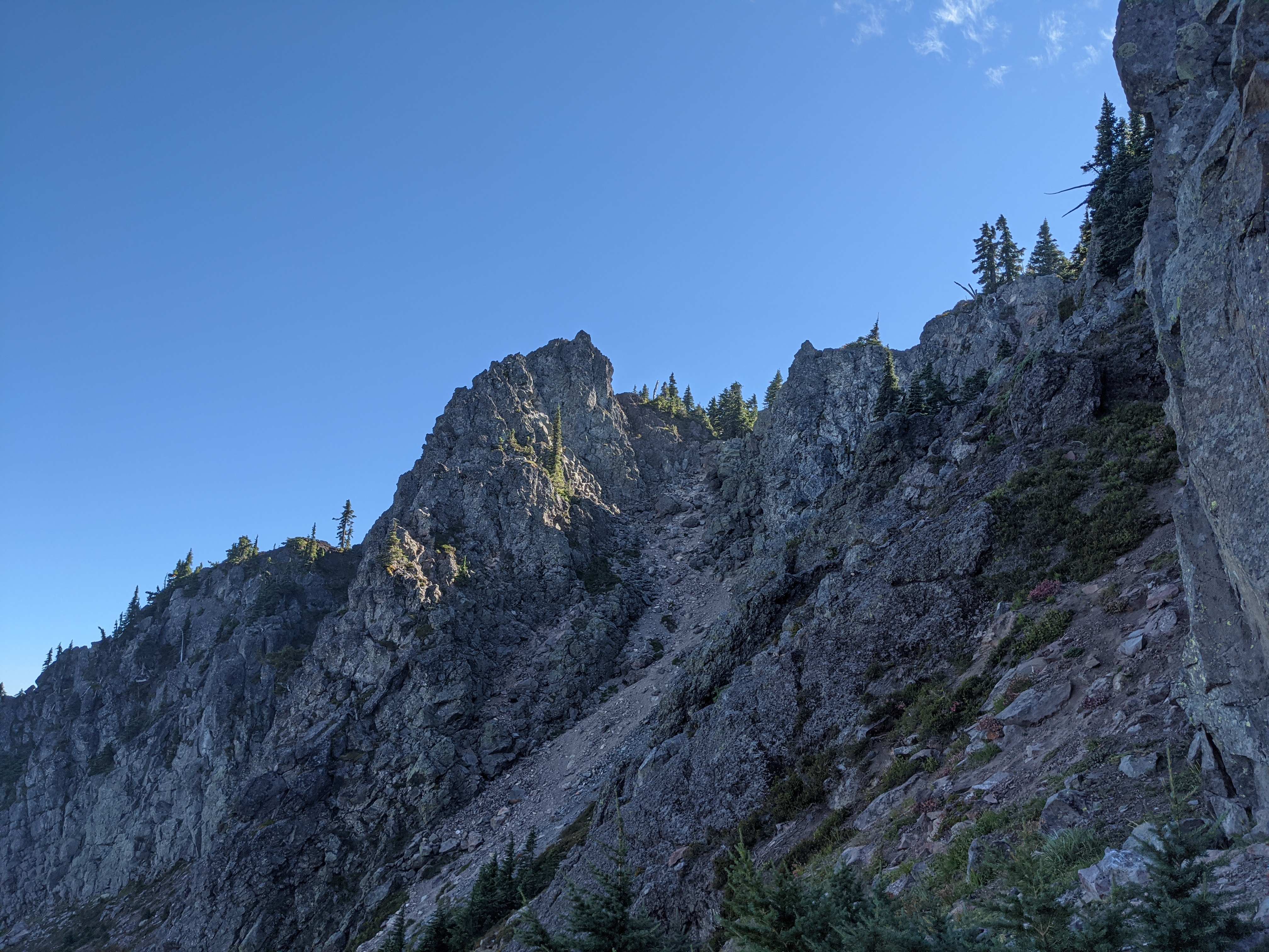
Approach Lemei on Lemei Trail or Indian Heaven Trail. At 46.0203, -121.7567, a trail turns west off the main trail. This trail heads down into a meadow and then into a rock field, which leads to the base of a steep scramble. This is a solid class 3 scramble, but no worse. It begins above the rock field and goes up either gravel chutes (slippery), bare dirt (somewhat less slippery) or vegetation that gives more solid footing, but step carefully and consider taking the dirt to protect the plants.
At the top of the dirt you encounter the scrambliest portion of this, which I recommend using your hands for - find firm handholds, as although the exposure is not bad, the footing is not always perfect, but the large rocks, roots, and trees offer plenty of easily-gripped handholds. Stay to the right where the rock is, before crossing to the left to climb the last push to the ridge.
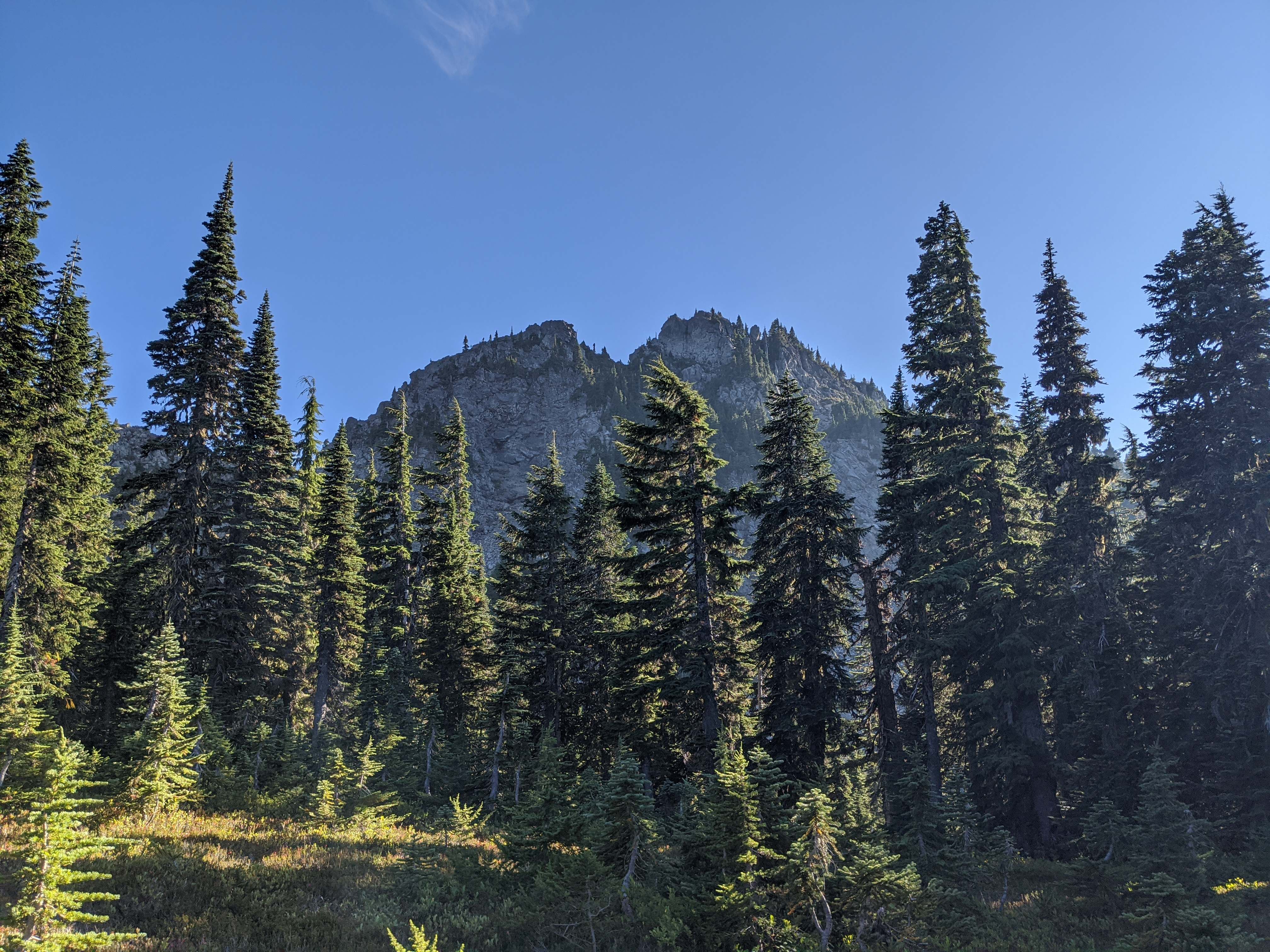
I had decided the top of this scramble is firmly, if not comfortably, inside the AZ, based on the summit elevation of 5925'; topo maps show the ridge as exceeding 5840' along the entire length, and elevation data from CalTopo's source state it remains above 5845' the length of the ridge, putting the entire ridge just inside the 25m AZ, but you may decide to follow the trail farther up. My party did not want to do so, but I went up just a few extra feet; a trail continues to the summit, and knowing that I probably would have gone all the way up for the view.
This is a magnificent view and quite a worthwhile hike; I do recommend it, as the second tallest summit in the Lower Columbia region.