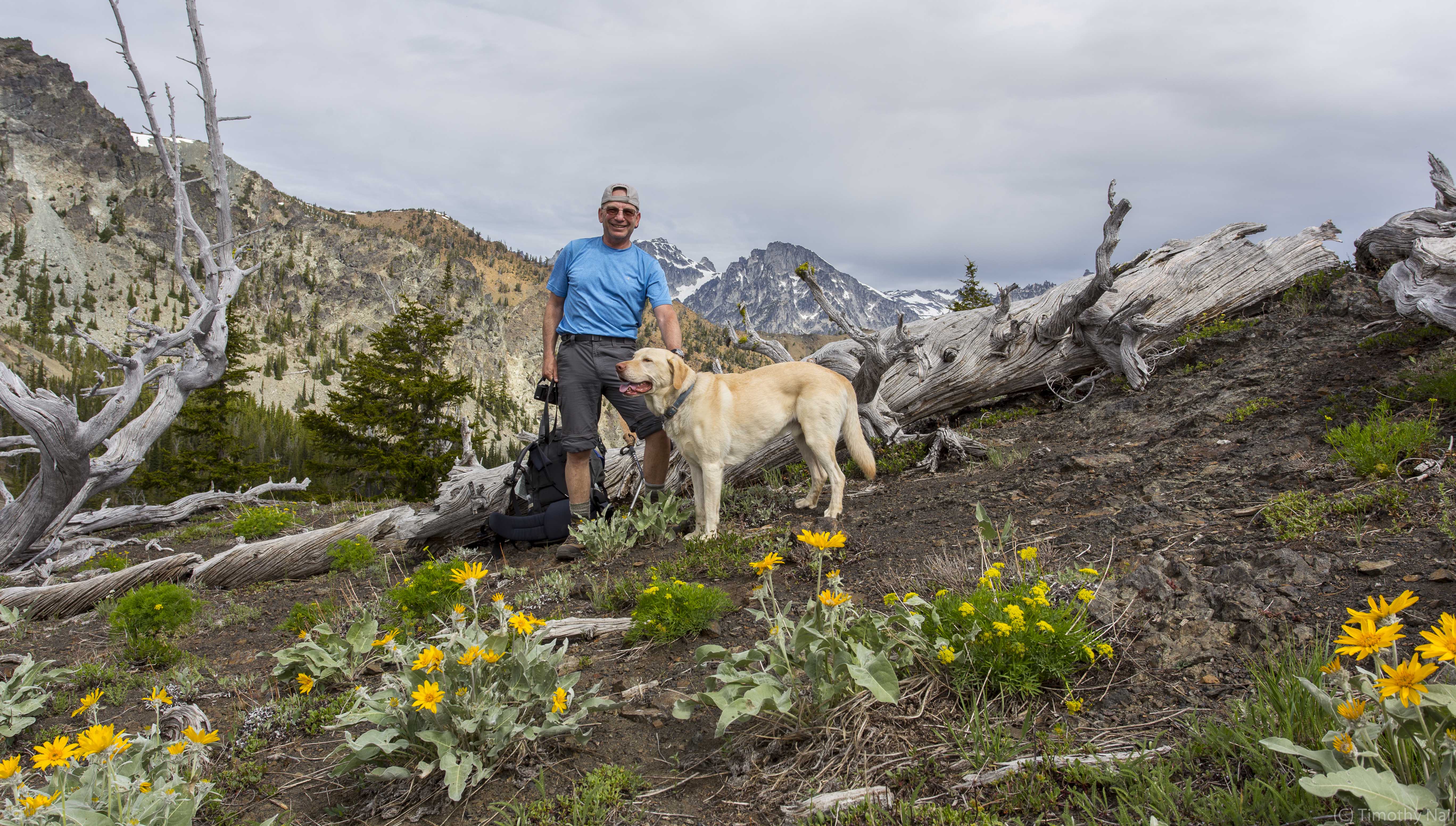
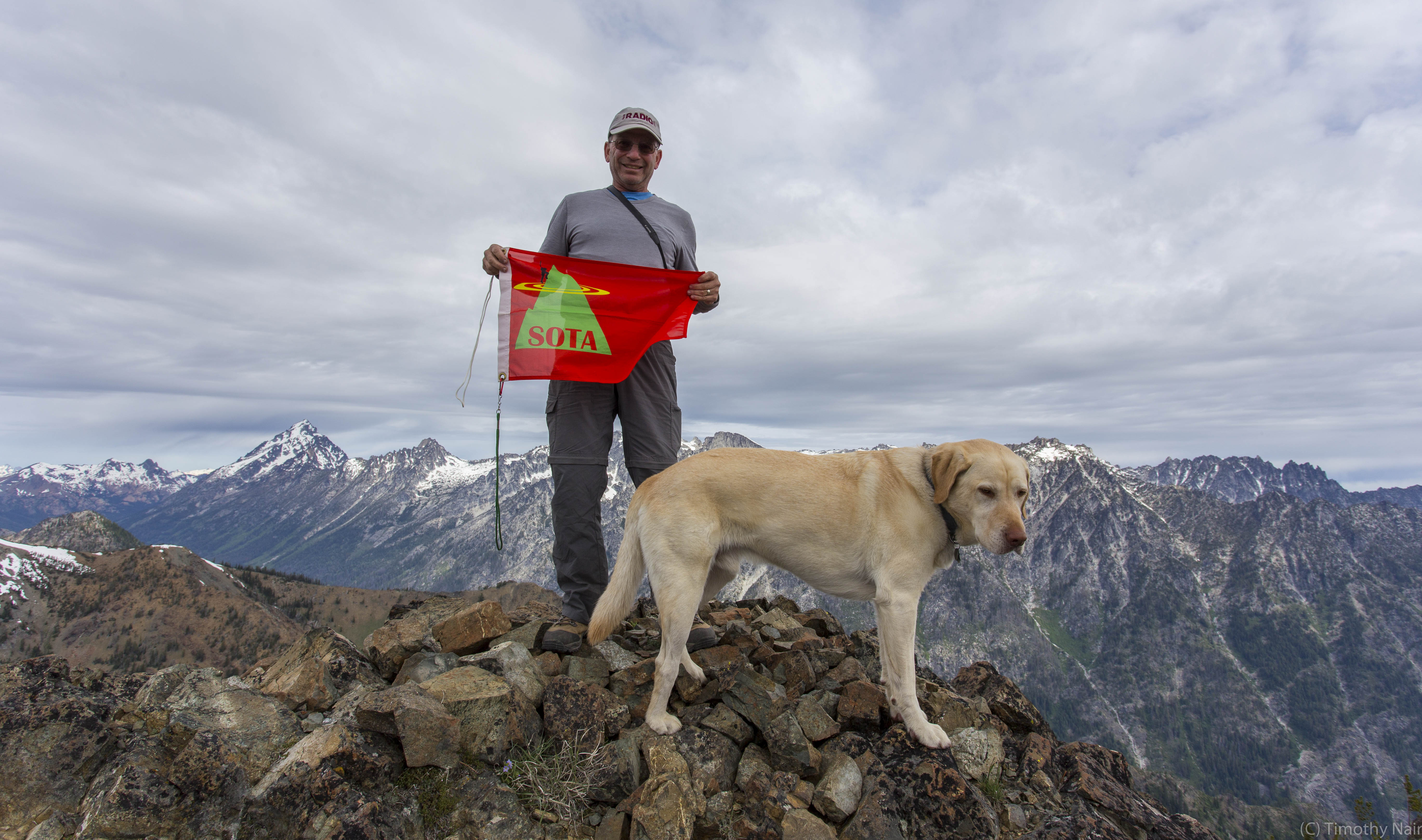
A dual Activation weekend trip with my friend Tim Nair, KG7EJT, and Dexter the SOTA Dog. This report covers mountain number 2, Three Brothers West, activated on Sunday May 31, 2015. The weather was very nice, company great and success on both peaks made for a memorable, if strenuous outing. The Greater Teanaway River Basin and surrounding mountains offer more than 15 SOTA Summits, and are a favorite of area of Tim and me.
The overall trip was somewhat grueling, involving more than 13.5 miles travel and approximately 6,125 feet elevation gain (including some up and down sections). Measuring distance was difficult as more than half of the estimated distance was off trail travel on steep sections of bushwhacking and climbing on scree, gravel, sand and friable rock. The first Activation of the weekend, Navaho Peak, was done on Saturday, May 30, 2015. That activation is the subject of a separate report.
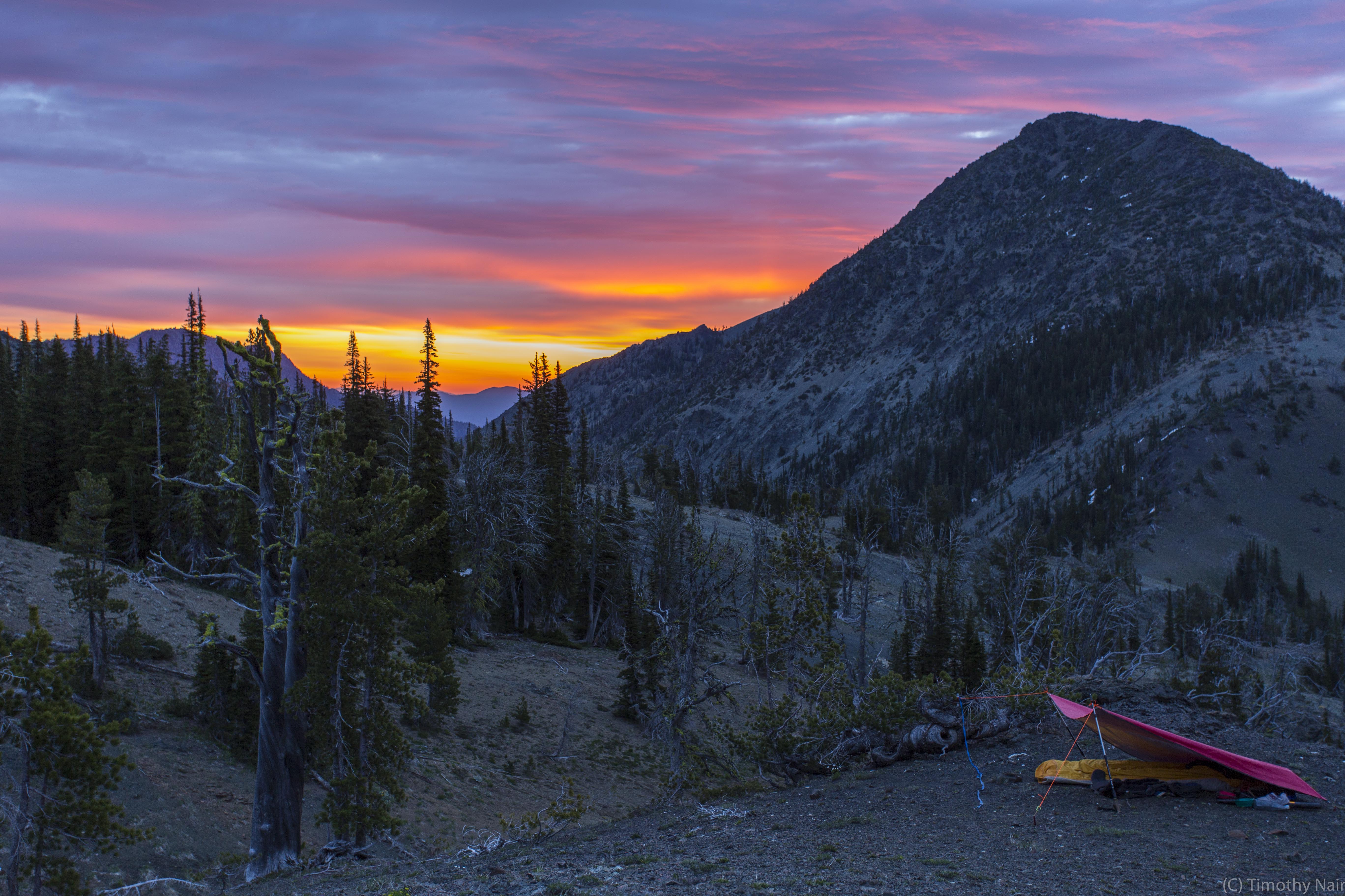
Having completed the approach hike and activation of Navaho Peak on Saturday, we picked up our overnight gear at "Dead Elk Pass" and descended to our camp site on a nice bench 200 feet below the pass. This is NOT an official name for this pass, on the SE ridge of Navaho Peak. We named it such because from below there was a tree /shrub sitting on the pass, above a snow shelf, that looked like an elk head with antlers…that never moved. Therefore it was “Dead Elk Pass”.
Blessed with wonderful views, abundant fire wood (this was outside any Wilderness Area), running stream water and a clear view of the next objective, this was the logical place to camp. We did not see another person until we descended to Stafford Creek Trail, much later in the day. A restful night, even in a bivi sack for K7MAS, yielded to a wonderful sunrise before 5:00 AM. The sky was afire with the rising sun illuminating the eastern sky, and our hulking objective, Three Brothers West. After a leisurely breakfast, we geared up and headed down at 6:45 AM…yes down! We had to drop another 300 feet to the low point, a “trail” junction at the head of Negro Creek and Falls Creek drainage basins.
Three Brothers West is a somewhat obscure SOTA Peak, but there are resources: http://www.summitpost.org/three-brothers/509019 and: http://rgervin.com/photos2014/20140701ThreeBrothers/thumb.html.
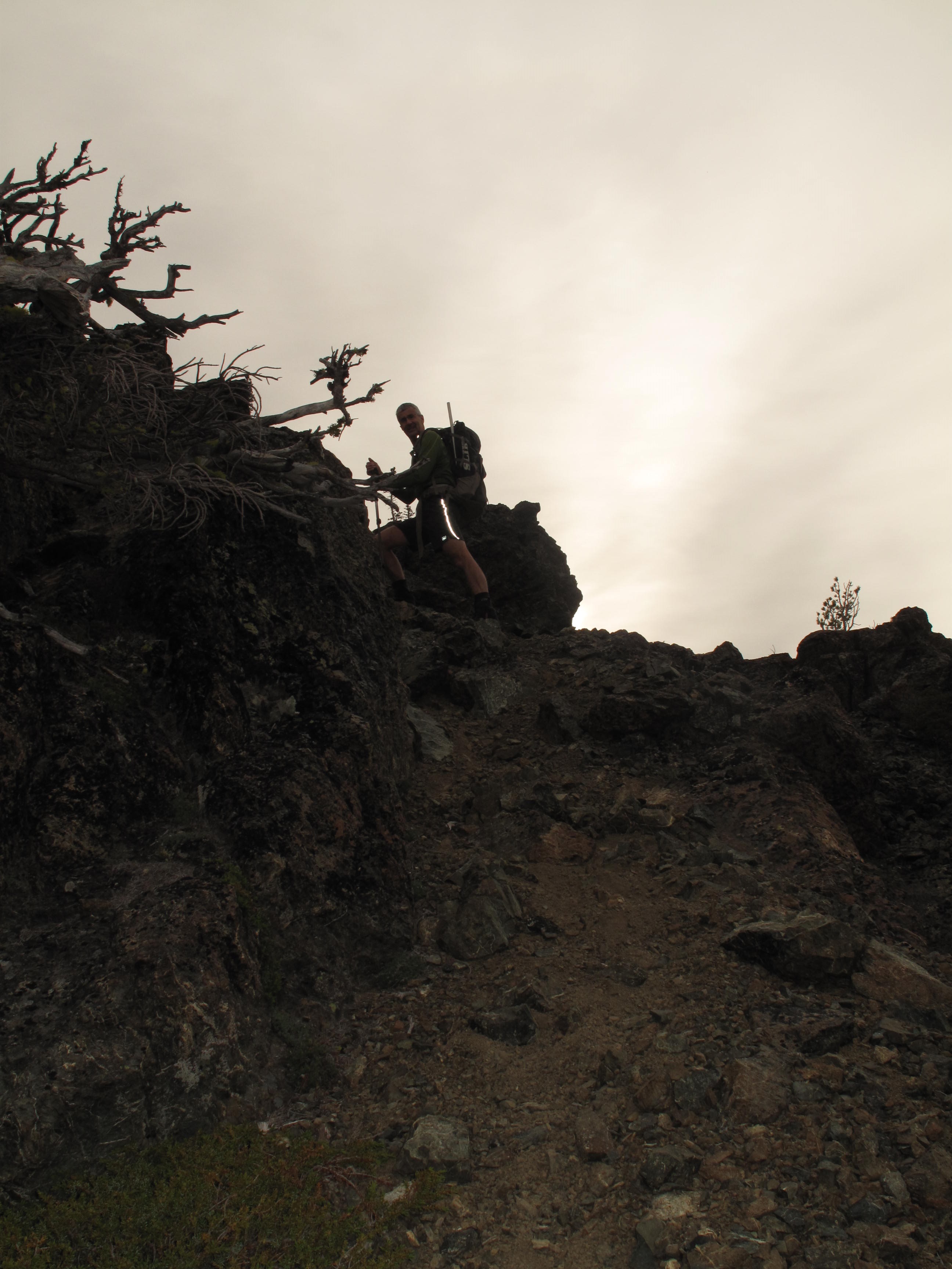
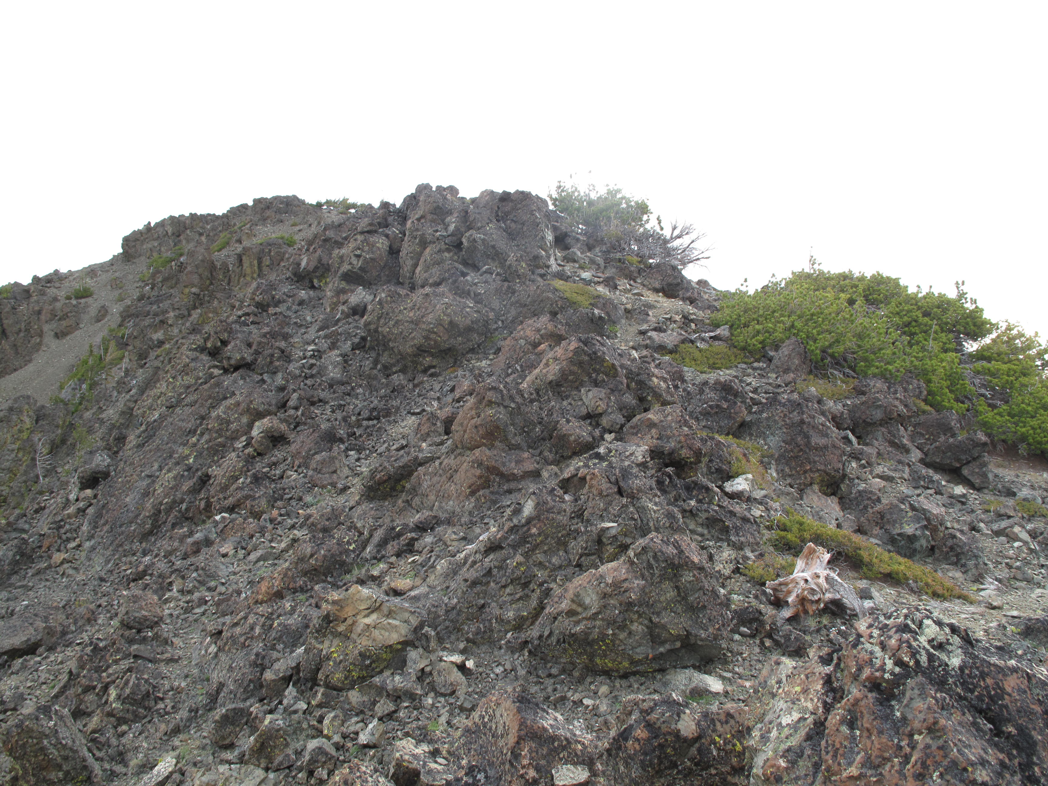
From this low point, 6,037 feet, we made quick work of the steepish SW ridge of Three Brothers West, gaining 1,266 feet in about an hour. It was clear that the weather was starting to change, although we knew this was a slow progression. It did eventually sprinkle a few drops during our activation, but generally this was just passing high level precipitation. We could see interesting lenticular cloud formations beginning to form on Mount Rainier and Mount Adams in the distance, and so were able to see that this was a slow changing weather pattern.
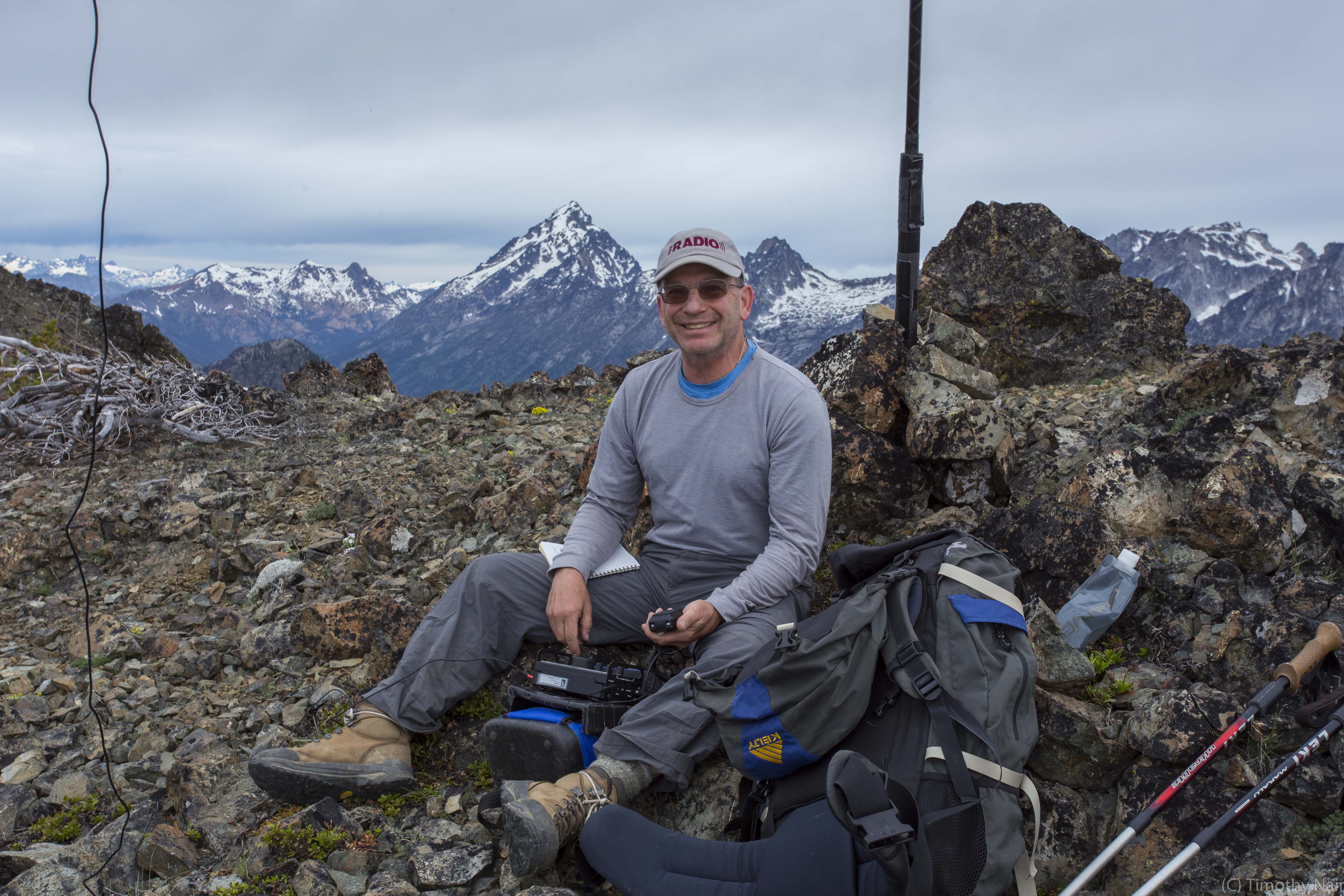
On the rocky summit Tim, KG7EJT, set up quickly for 2M FM using his 4 element Yagi Arrow Antenna (“fantastic” performer according to him). I set up for HF using my trusty Elecraft KX3 and 20M – 40M Linked Dipole, slung from a 25 foot carbon fiber fishing pole, as an inverted V. After 1½ hours on the summit the Activation yielded good results, despite the fact that we started at 8:00 AM, and were worried about activity that early. As we felt a few scattered rain drops, we packed up and headed back down the SW ridge of Three Brothers West, through the low point and back up to our camp.
After breaking camp, eating an early “lunch” and repacking we regained the 200 feet dropped in getting to camp from Dead Elk Pass. From there we retraced our XC track, rejoining Navaho Creek Trail just 200 feet from where we began our XC trek the previous day. Generally we look the path of least resistance in dropping down the steep slopes from County Line Trail to Stafford Creek Trail, avoiding dense brush and the occasional cliff band.
A tedious last few miles on Stafford Creek Trail returned us to the TH at 2:15 PM. The drive between the Eastgate area of Bellevue to Stafford Creek TH is approximately 2:00 hours without significant traffic. All together a great weekend excursion, into a relatively remote area (at least around Three Brothers West), with successful dual Activation made us feel blessed. Much more awaits in the vicinity!
Thank you to my contacts: KJ7MI; KQ6OJ; K6SRH; K6FG; N6HD; N7JCT; K9ZMD; KC7YTK; N7CNH; KF7JQV; WA7OJA