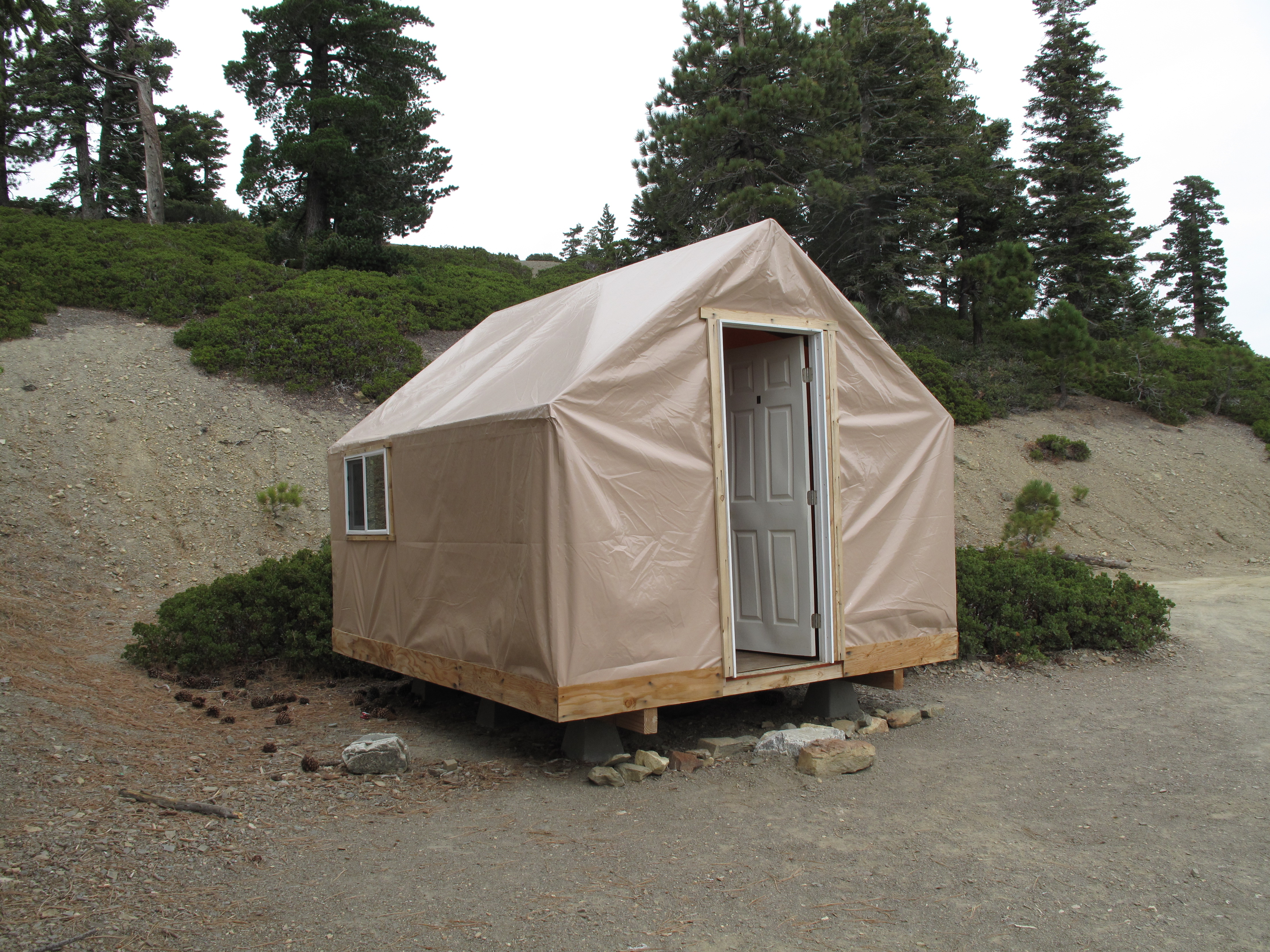
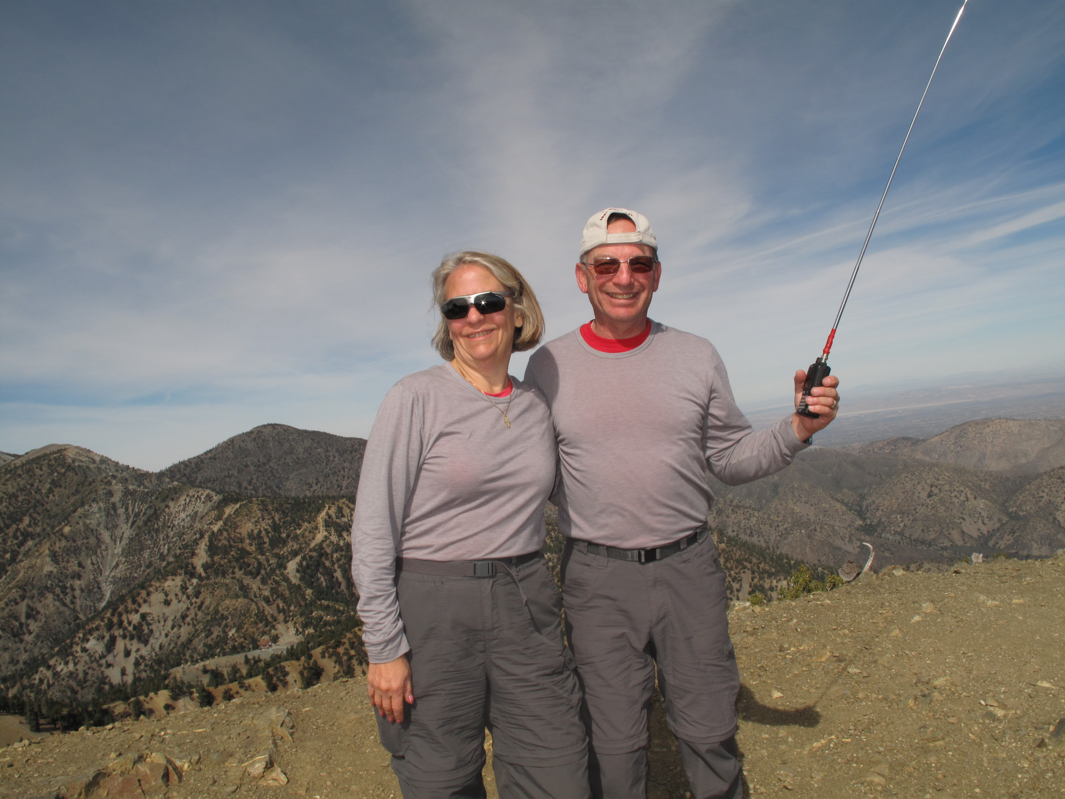
On a recent trip to LA LA Land, to visit family, we decided to try our luck at "Glamping" (Glamor Camping) at Mount Baldy Tent Cabins, 7,800 feet elevation, below Mount San Antonio. Also known as "Mount Baldy", 10,064 feet elevation, it is the king of the San Gabriel Mountains which tower above the Greater Los Angeles Basin. This was the first year these tent cabins were set up and available, and we figured they would be an ideal base for some near-by SOTA Activations. We purchased a package deal, including ski lift ride up and down from the parking area at 6,500 feet elevation, to Baldy Notch, at 7,800 feet, meal tickets at the full service Notch Restaurant and two night lodging in the Tent Cabins. This is report 1 of 3 dealing with the activation of Telegraph Peak, one of the famous "Three Tee's" (only two of which are SOTA Summits). Reports on the activations of Timber Mountain and Mount San Antonio (Baldy) are separate.
We arrived at Baldy Notch via the ski lift on Friday afternoon, October 23, 2015. See:
http://mtbaldyskilifts.com/activities/scenic-chair-lift/
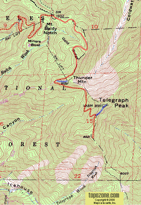
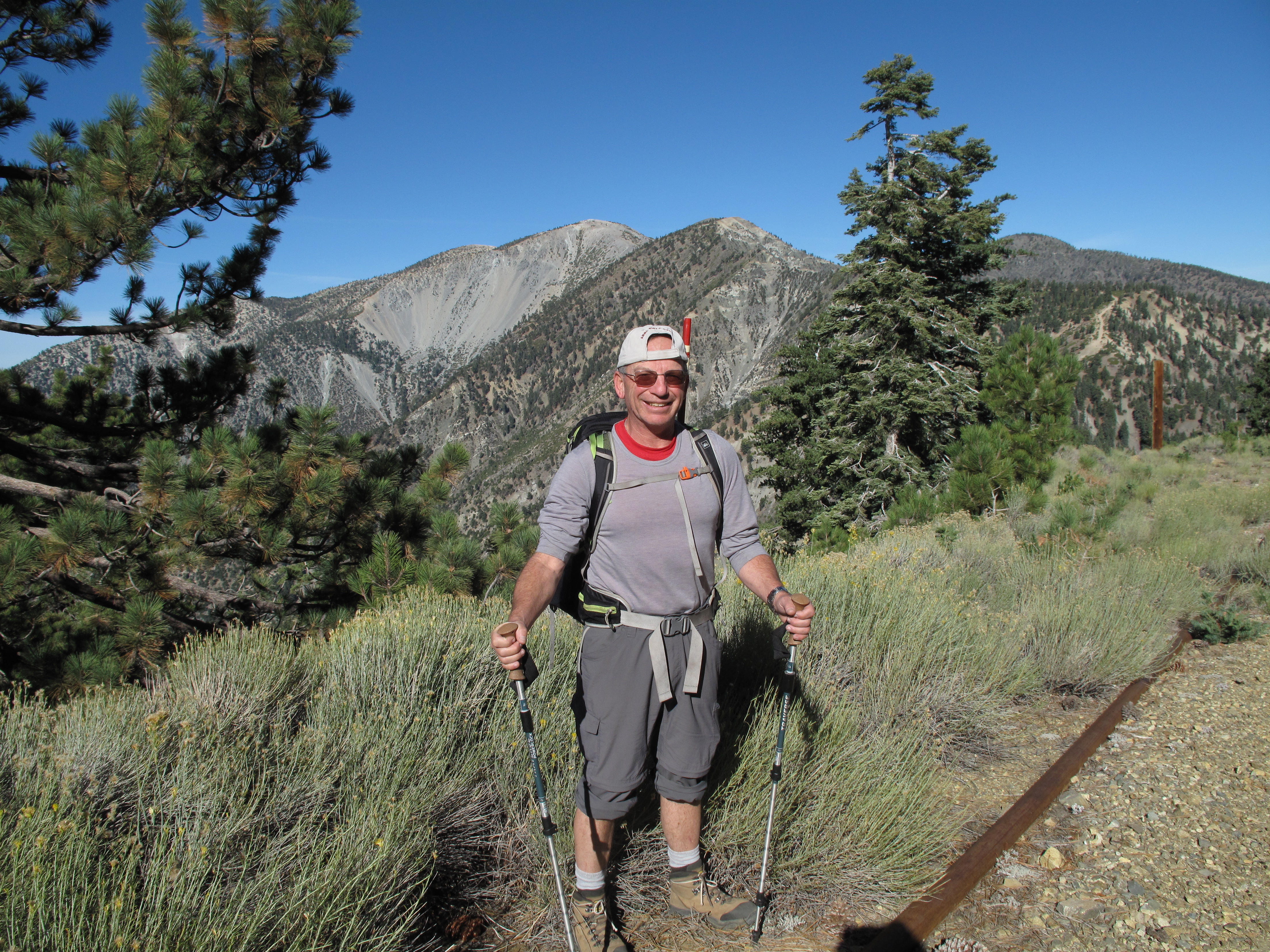
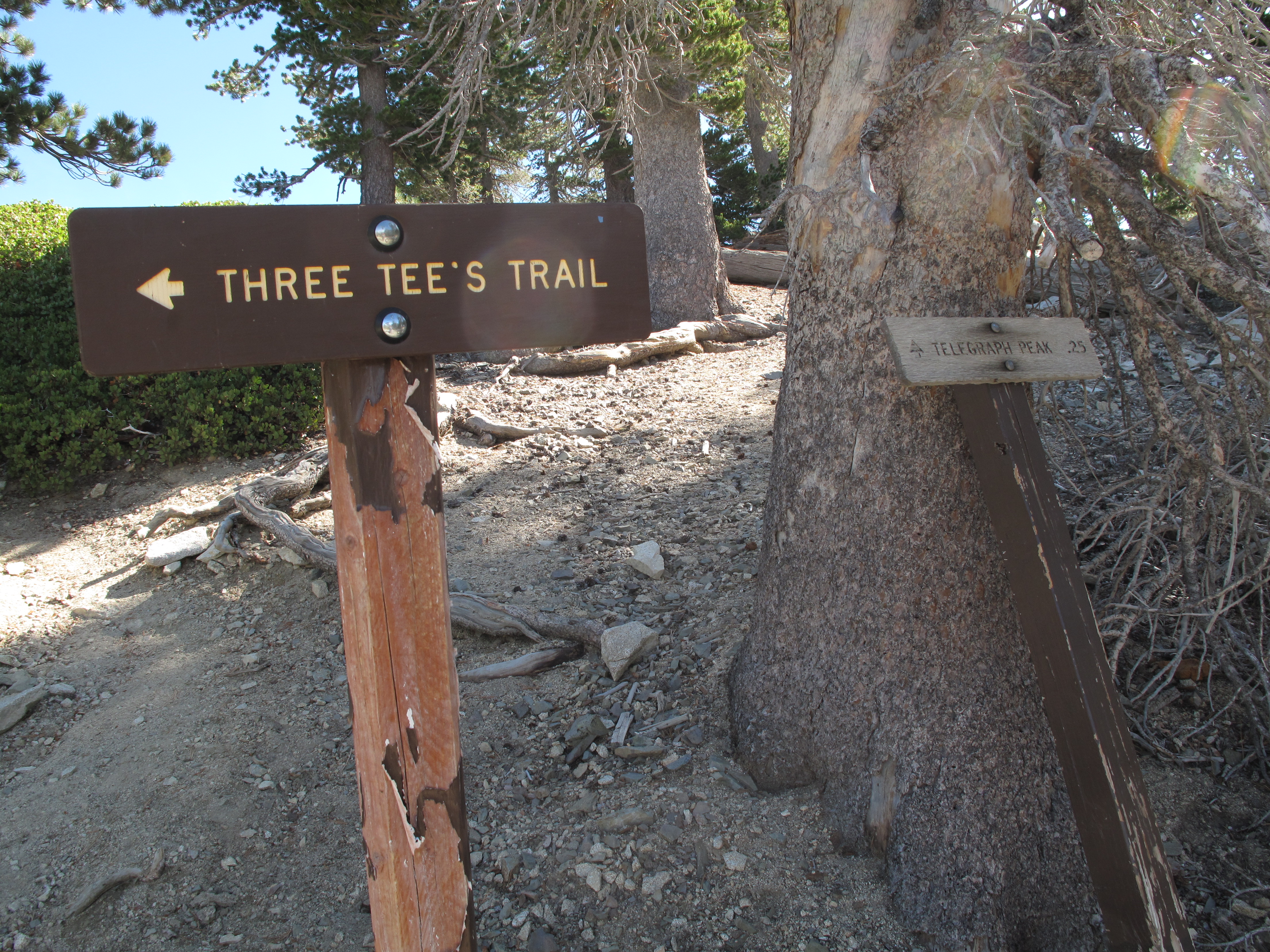
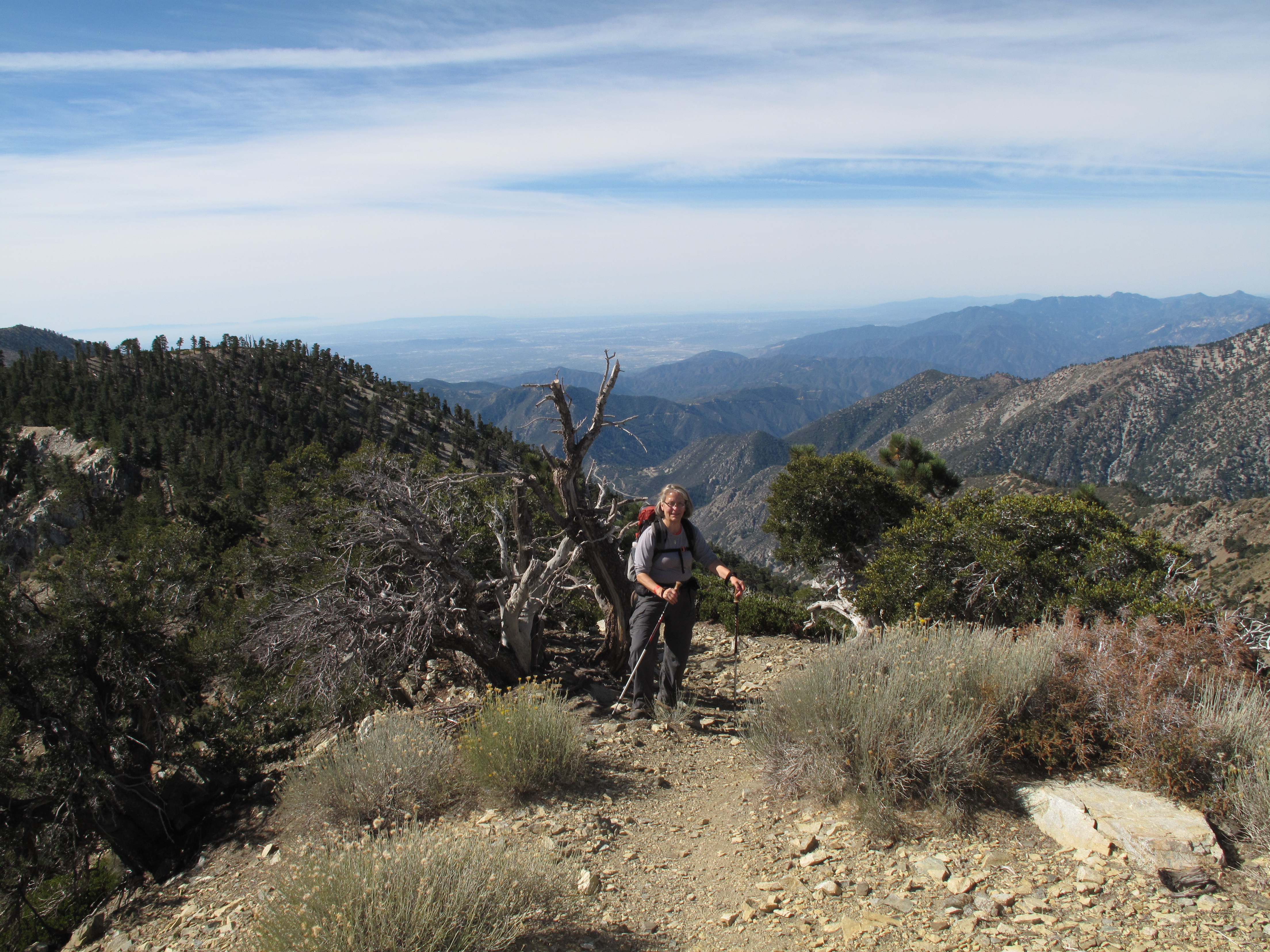
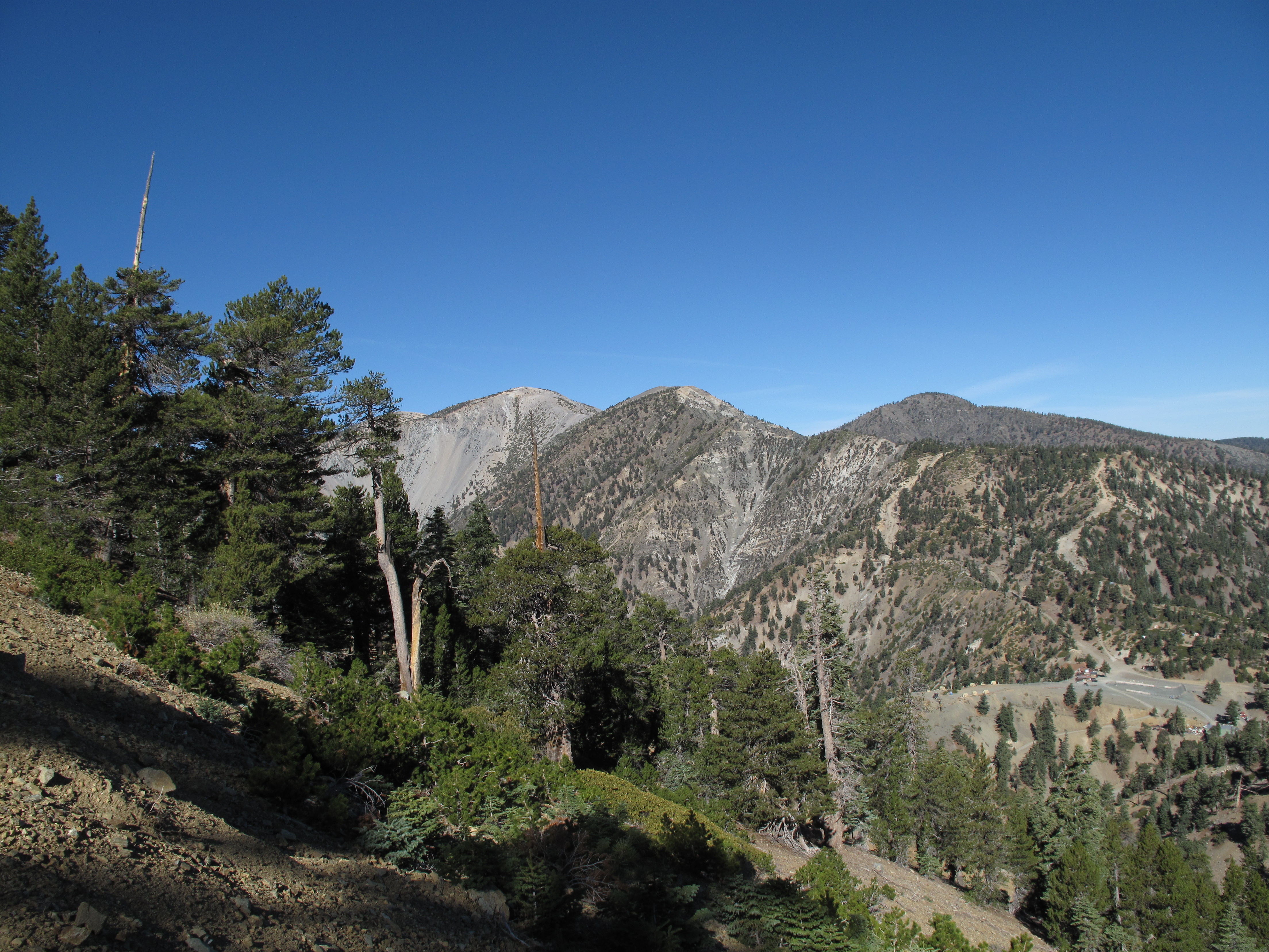
We wanted to spend most of a day and night at altitude in order to acclimatize to the elevation of the peaks we planned to summit, which range from 8,587 feet to 10,064 feet. This plan seemed to work out well, as we did not experience any significant altitude related issues, which many of the day hikers we spoke with had experienced. On October 24, 2015, my wife and I hiked the so called "Three Tee's: Thunder mountain, Telegraph Peak and Timber Mountain. We did this as an out and back trip, starting at Baldy Notch at 7,800 feet. The usual way of doing the Three Tee's Traverse is approaching from Icehouse Canyon to the south, and arranging transportation back to the starting point, or having two vehicles. Our route took us up and over Thunder Mountain (+787 feet); down to the Thunder / Telegraph Col (-387 feet); up to Telegraph Peak (+785 feet); down to the Telegraph / Timber Col (-1,235 feet); up to Timber Mountain (+553 feet); down to Telegraph / Timber Col (-553 feet); up to Telegraph Trail Junction (+1,100 feet); down to Telegraph / Thunder Col (-650 feet); up to Thunder Mountain (+387 feet); down to Baldy notch (-787 feet).
The round trip was a total of 9.8 miles + and 3,612 feet elevation gain & loss. It took us 8 hours and 25 minutes, including activation time, meals & snacks and speaking with the many interesting people we met on the trails and summits. The weather was a slightly cool 40 degrees at departure, warming into the mid 70's during the noon hours and cooling again to about 55. It was generally a beautiful Fall day, mostly cloudless, except for an occasional wispy high white cloud here and there.
With me I carried my trusty Icom IC-V85 - 7 watt 2M hand held, a 5/8 wavelength telescoping whip antenna as well as a 4 element Arrow Yagi antenna. Conditions were good enough that I never deployed the 4 element Yagi on any of the activations in this area. The trip up and over Thunder, down to the Thunder / Telegraph Col and up to the summit of Telegraph took less than 2 hours.
Thank you very much to the Chasers and other contacts. I greatly appreciate each and every contact on these Activations. I worked: KK6UM; N6JZT; AA6P; NG6R; K6XI; NA6MG (Dan, a SOTA Mountain Goat!); K6QCB; KK6KUI; and KI6OSS.