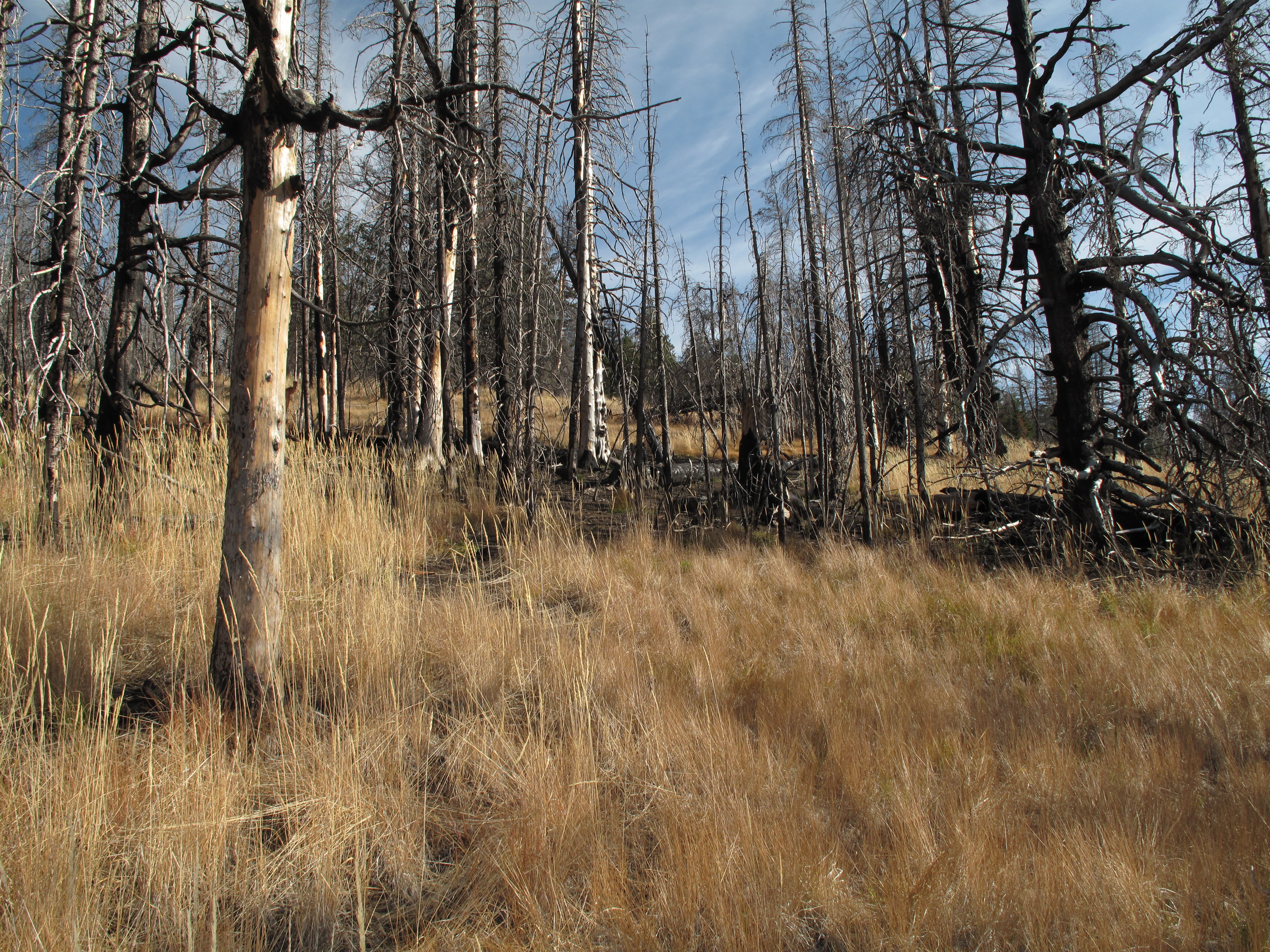
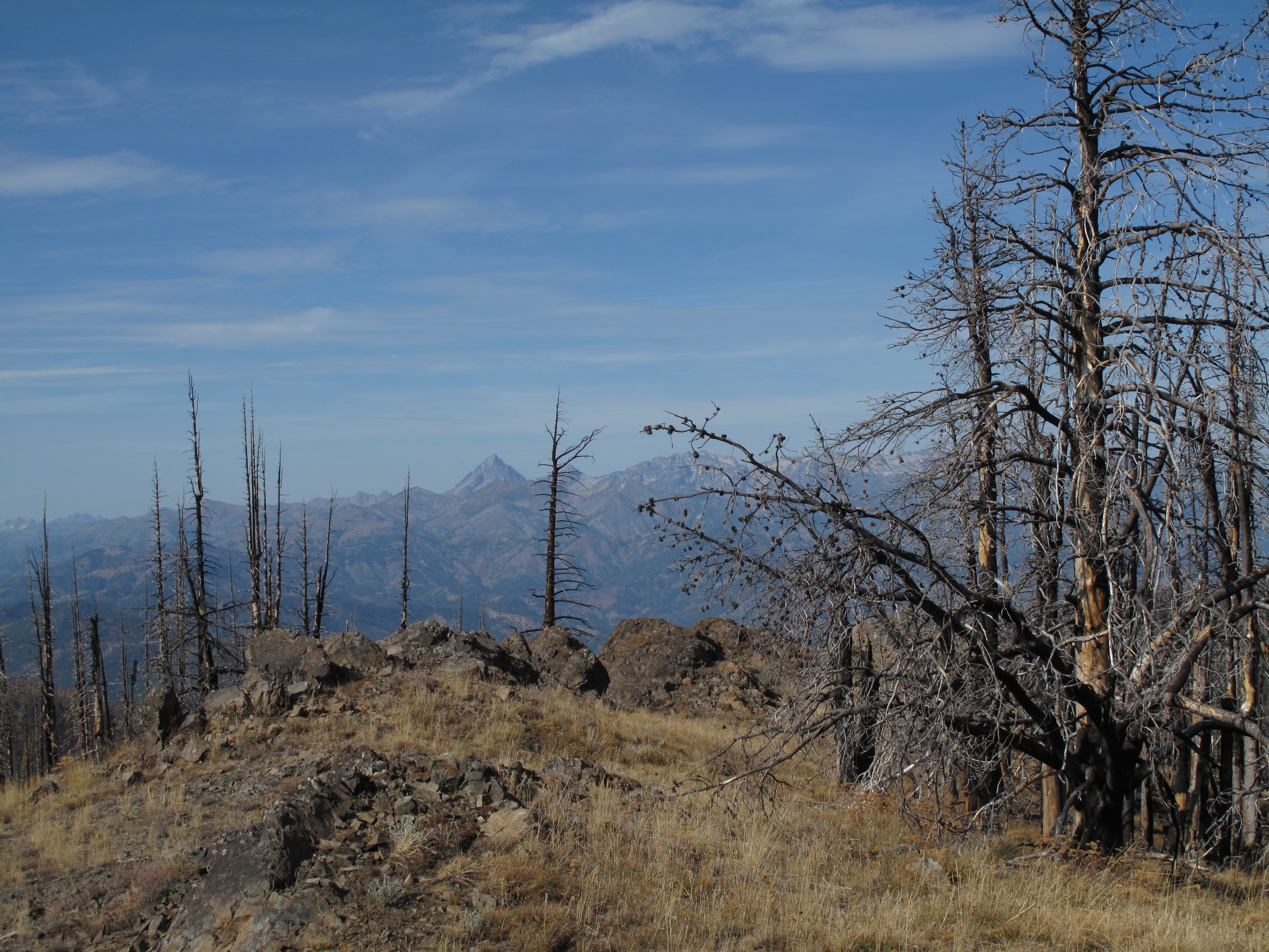
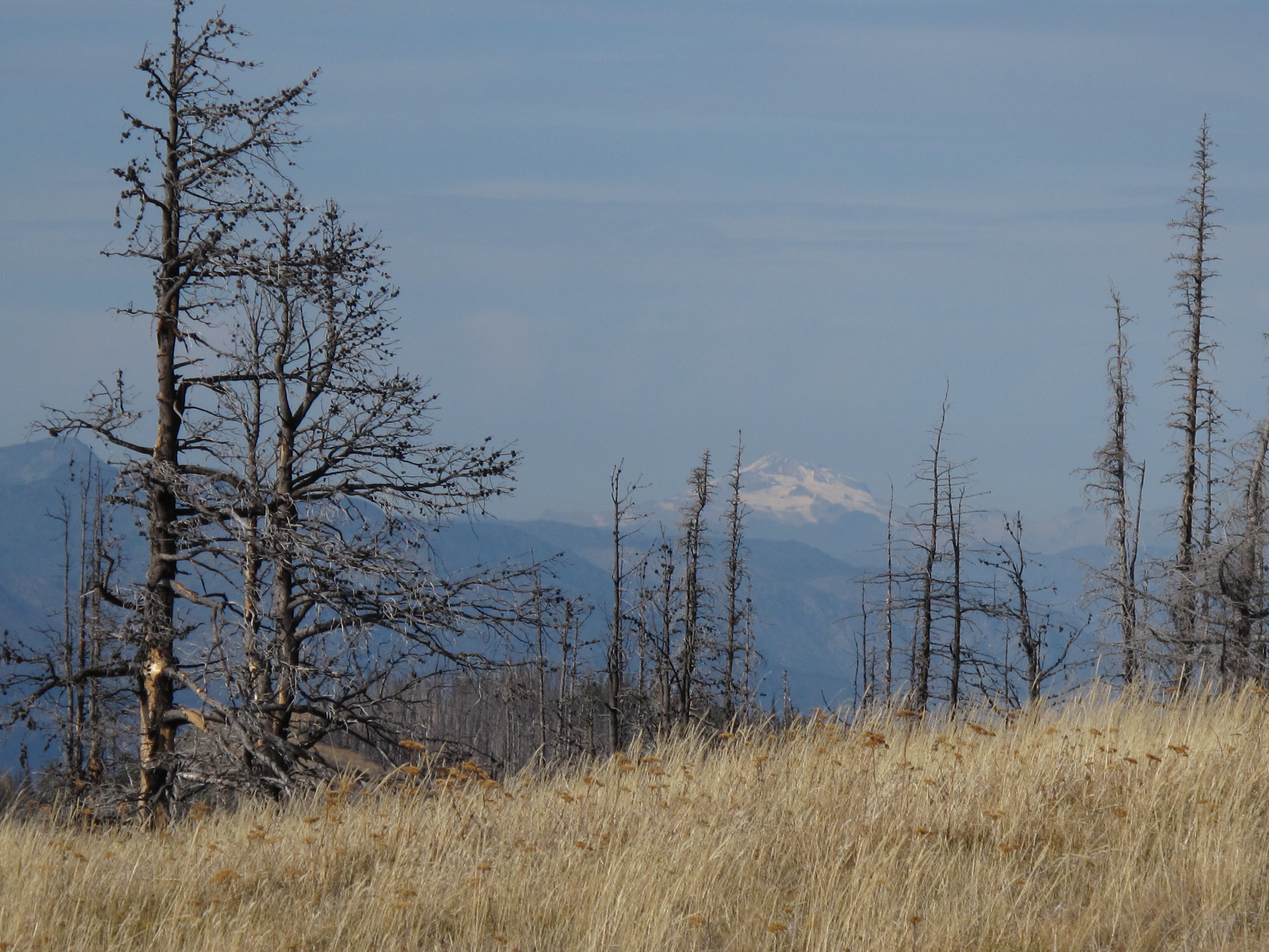
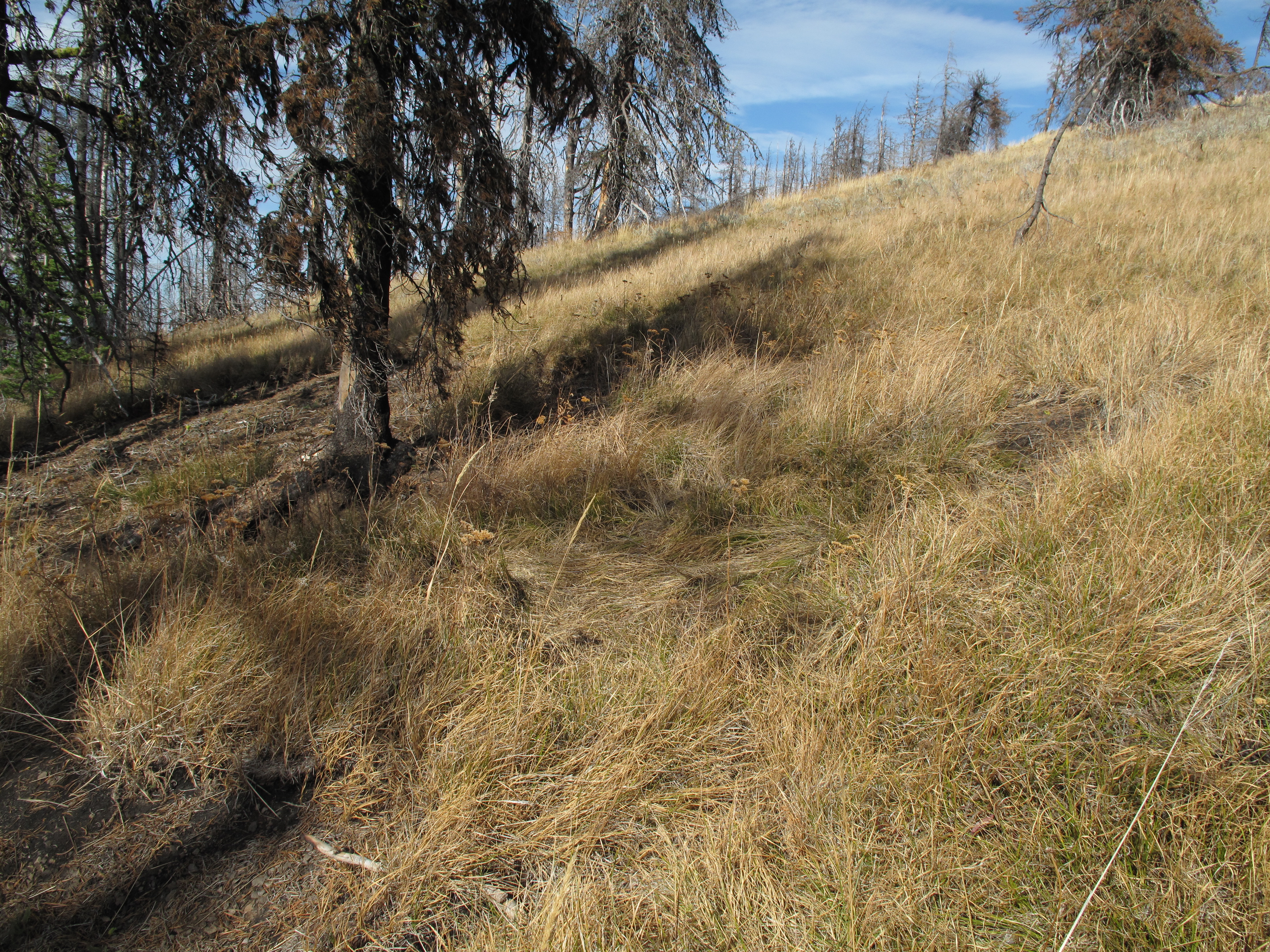
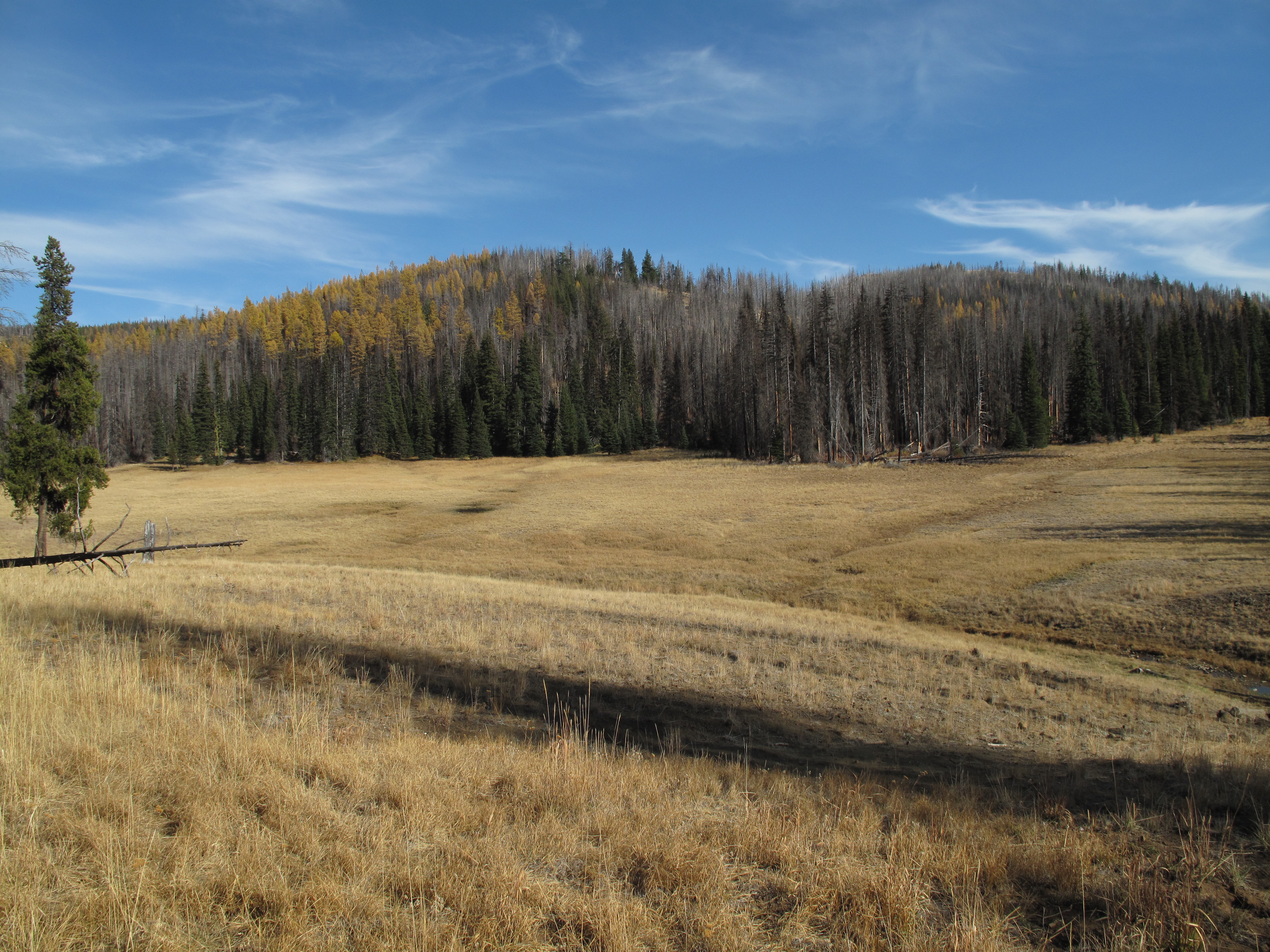
This was my second attempt to Activate Mount Lillian South. The first time there, I only managed 1 or 2 contacts, and did not list the attempt as an Activation on the SOTA Database. In retrospect, I regret that Activation was not successful, as the area has changed dramatically due to substantial forest fires. What once was a very nice area of mixed pine, larch and deciduous trees is now a charred mess in most of the area adjacent to the summit formation of Mount Lillian South. An interesting note: The SOTA Summit in question is Mount Lillian South. What shows on the USGS maps as Mount Lillian is the North Summit, 6,120 feet, and approximately 3/4 mile due north of the SOTA Summit, Mount Lillian South, 6,191. Mount Lillian South is only identified on USGS maps as Point 6,191. The coordinates listed for Mount Lillian South in the SOTA Mapping web site are correct, and match what I found in the field.
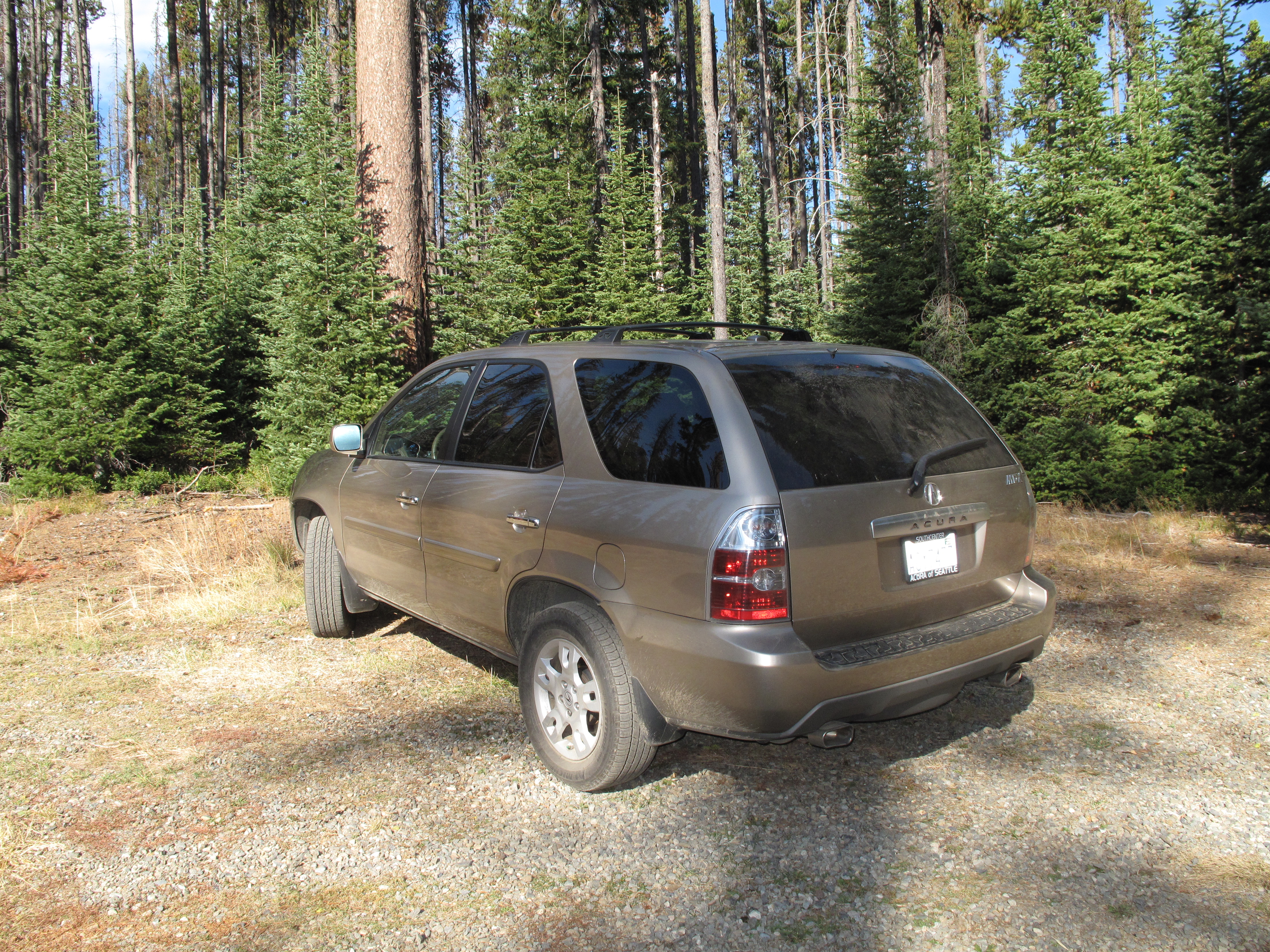
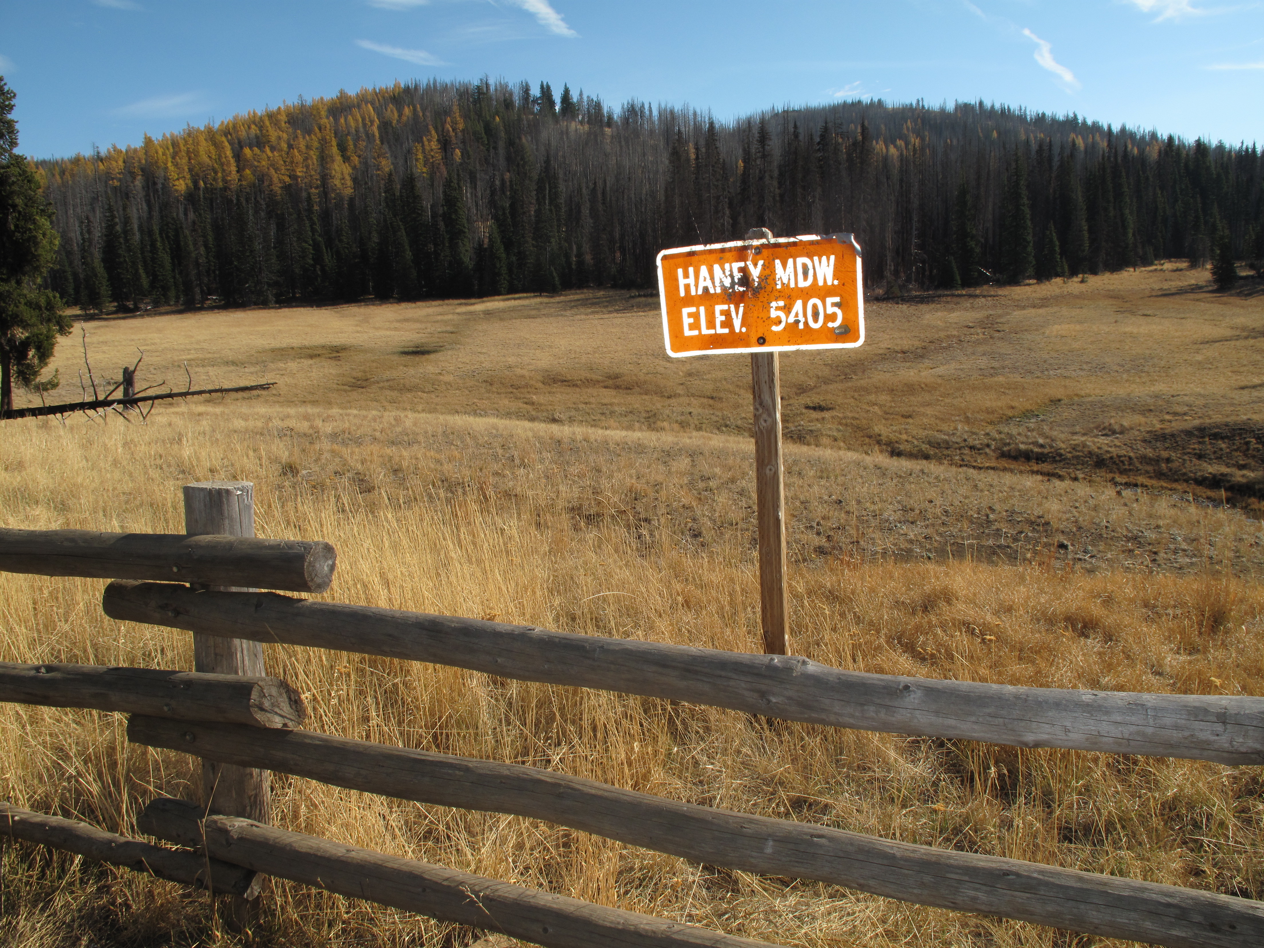
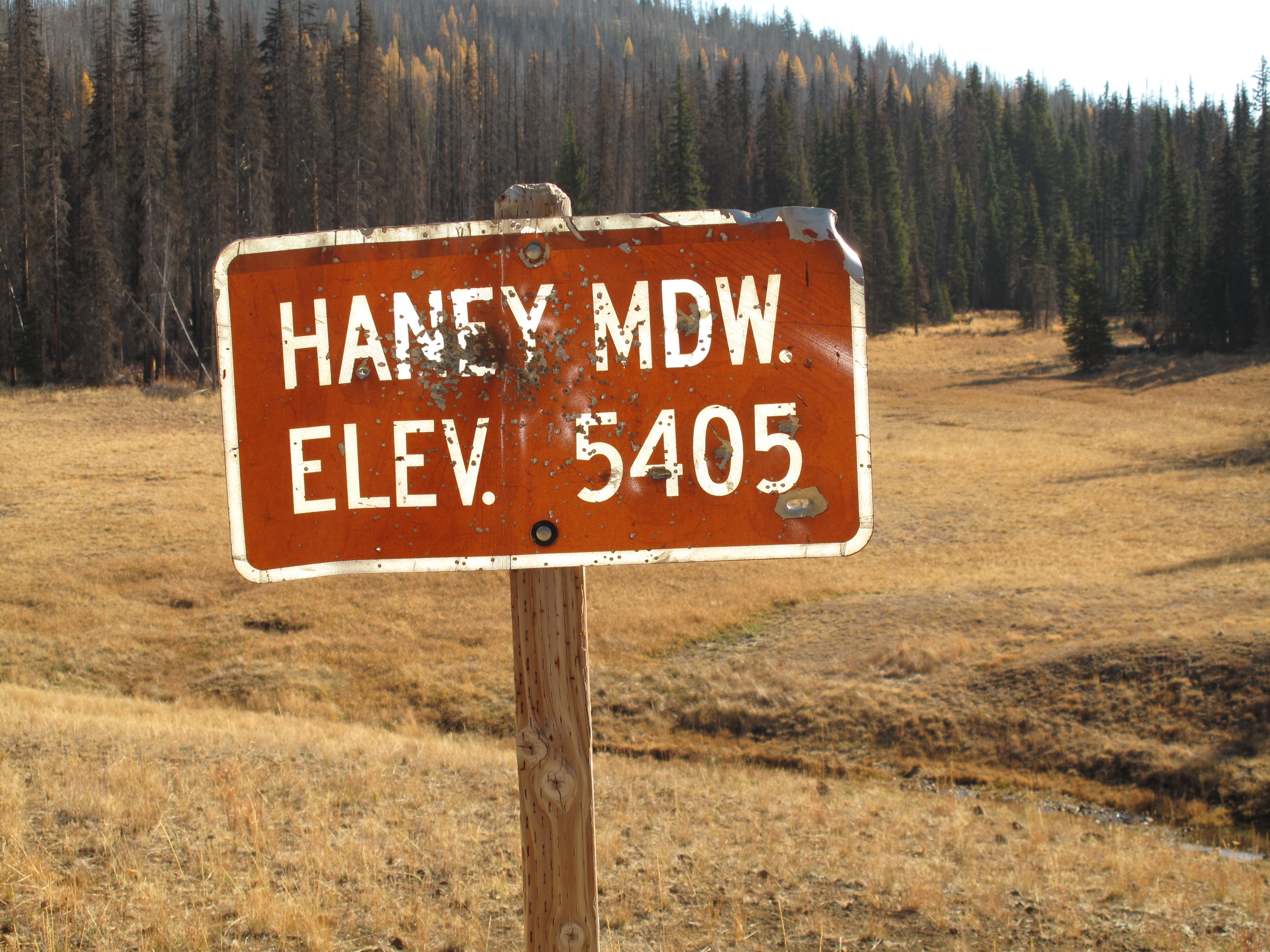
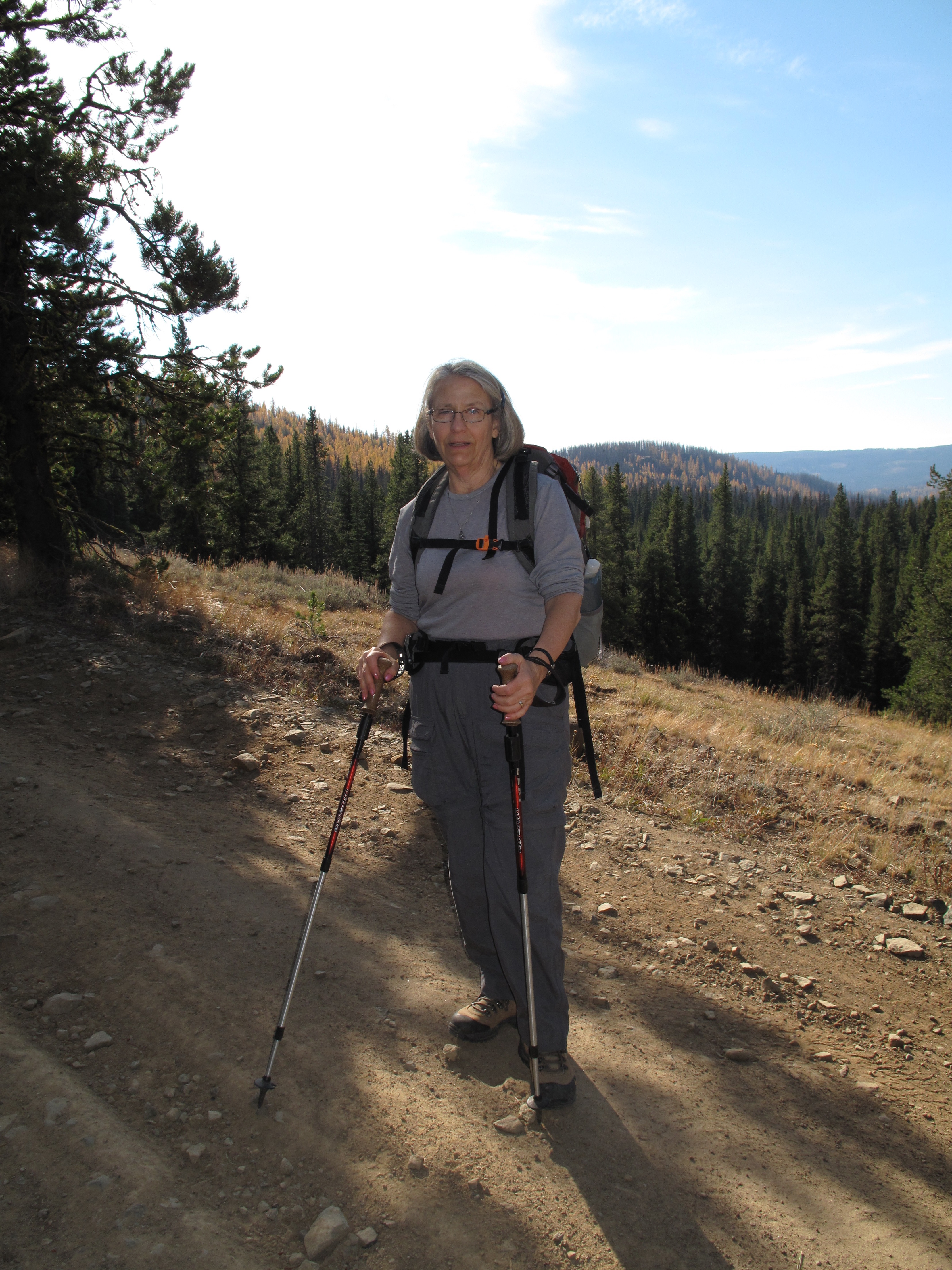
En route to Lake Chelan to stay with some friends who own a summer home in Manson, Washington, we decided to try our hand at a SOTA Activation. Given the fact that we were travelling generally northbound on SR 97 between I-90 near Cle Elum to SR 2 near Leavenworth, it made sense to find a SOTA Summit accessible off Highway 97. We opted for Mount Lillian South, W7W/CW-036, a 6 point SOTA peak. This time, instead of accessing the peak from the Tronsen Creek Basis, we came at it via a network of Forest Service roads directly south around Diamond Head, then east through upper Naneum Creek basin. From SR-97, directly at Blewette Pass, we took Forest Service Road 9716 for several miles, generally south, to its junction with Forest Service road 9712. At this 4-way junction we turned sharply left (eastbound) on NF-9712 several more miles to Ken Wilcox Horse Camp near Haney Meadows, approximate elevation 5,570 feet. We parked there, and continued on the increasingly rougher road by foot. See Map 1. We followed NF-9712 north, then south around a sweeping turn, gaining elevation as we neared Mount Lillian South. We left the road at a point almost due west of the summit of Mount Lillian South, and travelled XC up the west face of the mountain to its summit. The route is easy to navigate, and is approximately 2.65 miles each way.
We were very saddened by the stark remains of what was once a forested area, interspersed with open meadow. See pictures.
We set up quickly for HF operation, using my Yaesu FT-857D, powered by LIPO batteries, and an Inverted V Linked Dipole for 20- 40 Meters, slung from a 25 foot carbon fiber mast. Band conditions were excellent on 40M, but I had no luck on 20M. In quick order, I had a bunch of Chasers in a mini pile-up. I made 13X 40M contacts in the span of about 22 minutes, while describing the blackened surroundings, and the more distant views of Mount Stuart, the Wenatchee Mountains, and in the distance Glacier Peak.
Thank you to all my Contacts. I worked: W6FHZ; KV7L; W6IO; W7GPP; WK7F; N7GSU; VE7HRA; K7PIA; NX7DX; KD7WIA; KF7WMM; K7PM and K7OPC.