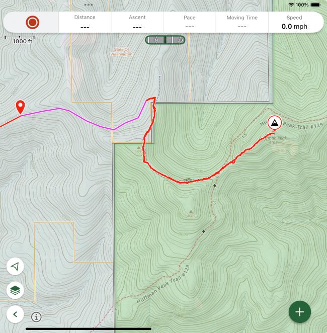
There is a SW “short cut” for Huffman peak by taking the well maintained logging roads in Washington DNR land and following the unmaintained hiking trail 126. 1.5 miles and 1000ft total elevation one way. (Note that there is some up and down here, with 400 ft down included, meaning you’ll have that much on the way back).
Use satellite mode in your GPS app or the Washington state roads website. To find the road that leads to the trailhead for trail 126. The access trail is unmarked and unmapped. Watch closely on the road and there will be a slight clearing on the right, with space for 1 car to park. Just start heading through where the forest looks a bit thin and a trail should reveal itself. I have included my GPS tracks and you can note where it is exactly.
Jake and I had scouted this as a potential route on a previous trip to this forest and returned with K1ZMA and WJ7V after I tricked them into thinking I found a clever short cut.
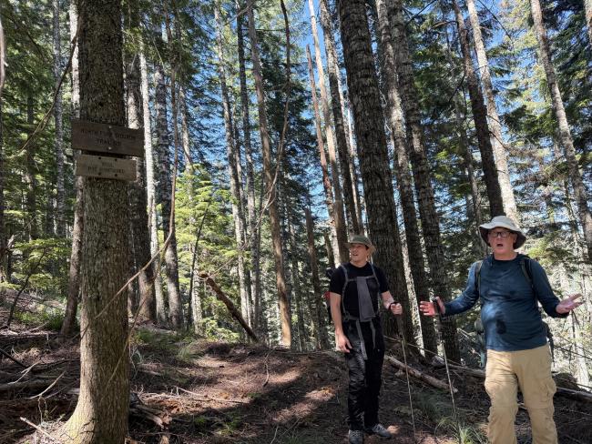
The hiking trail is forested, and mostly lovely and quite clear except for perhaps 0.25-33 of a mile in which either some fortitude or a machete will come in handy. The trail is also starting to slide down the hill a bit, so watch your step.
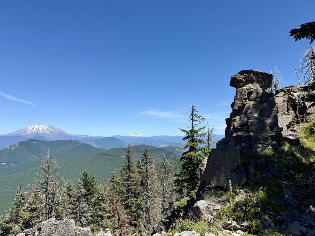
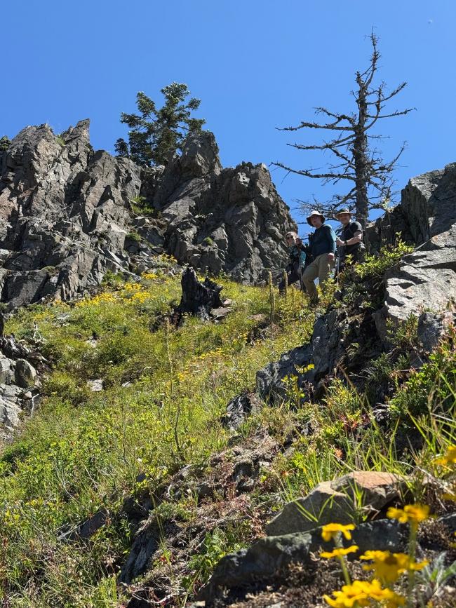
The trail joins the main maintained trail 129 for a few steps before you then need to start heading off trail to reach the summit. Now this is the actual hard part IMO as it is *quite* steep. The summit is a lovely rocky outcropping with amazing views.
Overall I found this quite a lovely hike. This opinion may not be entirely shared due to some difficulties on the trail Regarding the occasional bushiness and severity of summit approach grade.


