NC-103 is a nice driveup in the Tillamook State Forest near Klichis River. It's easy to pair with NC-078, or if you want to do more work, pairs with Stanley Peak NC-030. If you're already at NC-078, it'll take only about 30 minutes to get over here. If you're already at the coast, this peak is only about 10 miles of gravel road driving outside of the City of Tillamook.
From Portland, take Hwy 6 toward Tillamook. Either turn off at Keenig Creek and take the route to NC-078, or drive all the way to Tillmook and head north on 101. These routes are all posted on sotamaps.org / SOTLAS.
From NC-078 (45.56842, -123.69679):
- At the NC-078 parking spot/intersection, take the south road
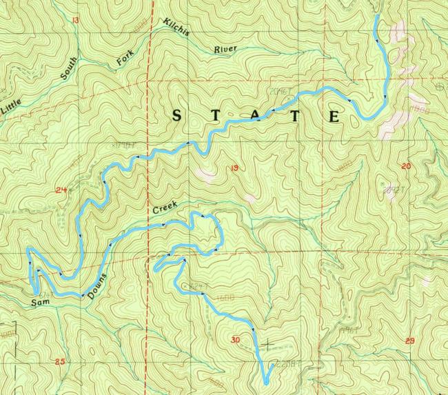
- At about 4 miles (45.54566, -123.73644), take a hairpin left
- (common directions continue below after the Tillamook origin portion)
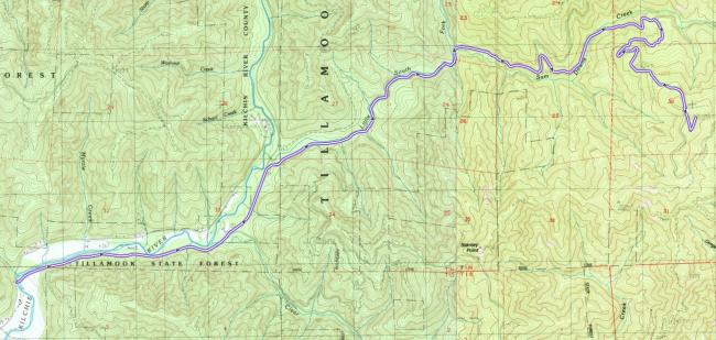
From Tillamook, route to "8450 Kilchis River Rd, Tillamook" (45.51958, -123.82908). This is where you'll leave pavement.
- Turn right onto Kilchis Forest Rd / Sam Downs Rd
- After 2.6 miles (45.53365, -123.78496), take a fork right to continue on Sam Downs Rd
- At 4.8 miles (45.54850, -123.75154), turn right
- At 5.6 miles (45.54566, -123.73644), fork right. The fork goes to NC-078
Common path from the fork at (45.54566, -123.73644):
- After 1.5 miles (45.55212, -123.71623), turn right
- Over the next 2 miles there are a couple forks, stay to the left on each
- At 7 miles you will reach the base of the peak and an intersection (45.54110, -123.71072). Take the center path, which goes up.
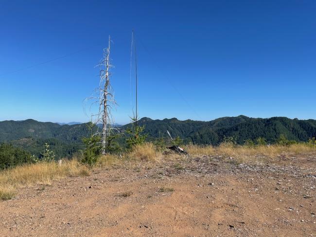
The final approach path has a couple of encroaching bushes, but shouldn't give your paint job any trouble if you proceed with some caution. The entire drive is relatively good gravel roads, driveable with a passenger car but more fun with offroad capability. This last 1/4 mile section takes a hard left and tops out at the summit, which is a wide open area with a few small trees around the outer edge for attaching a mast. Plenty of parking and good views, but no sun protection. If you look the right direction on a clear day you will be able to see the bay and ocean.


