On July 27, 2013, my wife, Christina, and I activated Castle Rock (W7O/CM-116) near Cougar Reservoir in the middle Cascades. This 3808’ summit is easily reached by roads and a moderate hike.
To reach the upper trailhead, take highway 126 east from Springfield and turn right onto Aufderheide Rd 190 toward Cougar reservoir. At a fork after half a mile keep left on Road 410 toward Cougar Dam. After another 0.4 miles, turn left onto paved Kings Road 2639. After another 0.5 miles, turn right onto Road 480 and follow that gravel road (staying on the main forks) 5.8 miles uphill until it ends at a very small parking area. Park there and take the trail that heads uphill away from the road.
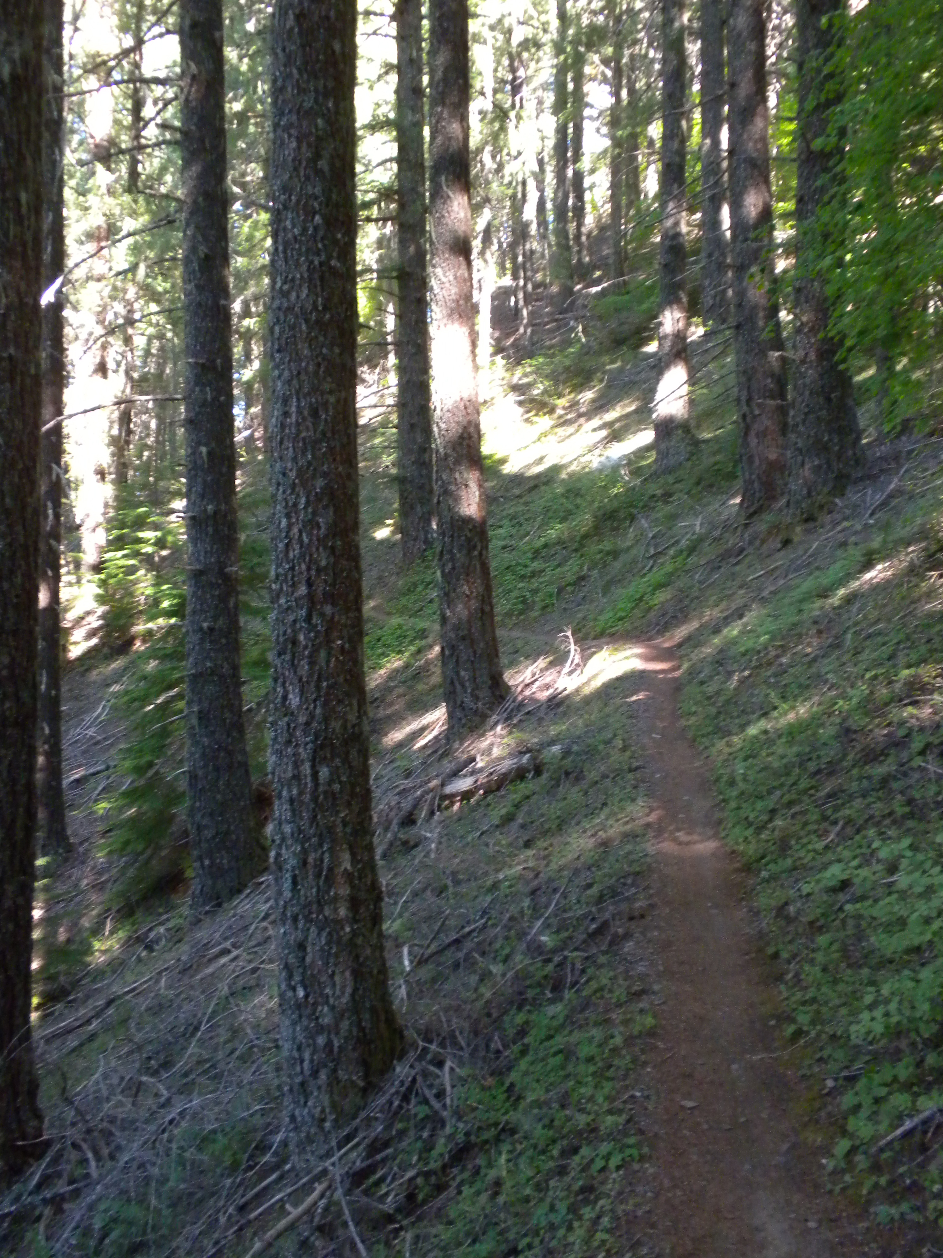
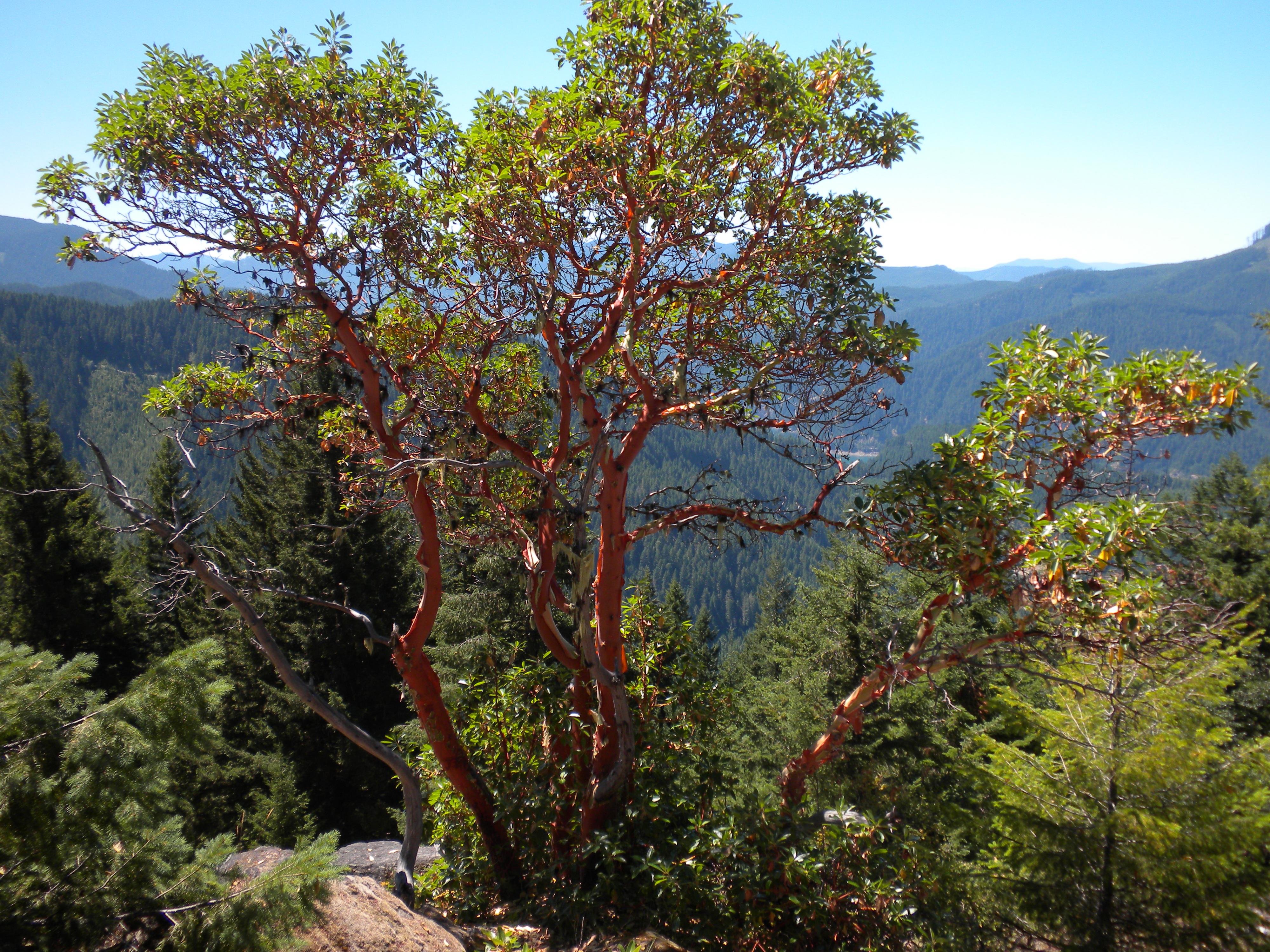
The trail switches back and forth a number of times as it winds up the mountain. It is about 1.25 miles to the top over a net altitude gain of about 650 feet. If you want a longer hike, you can start 4.7 miles further down the mountain. A number of interesting rock formations make up the summit, which has the remnants of a structure’s foundation. The views are rewarding in several directions. The Three Sisters are close by to the East. A number of trees on the summit afford some cover and limbs to hang wires from. It is a charming place to spend some time.
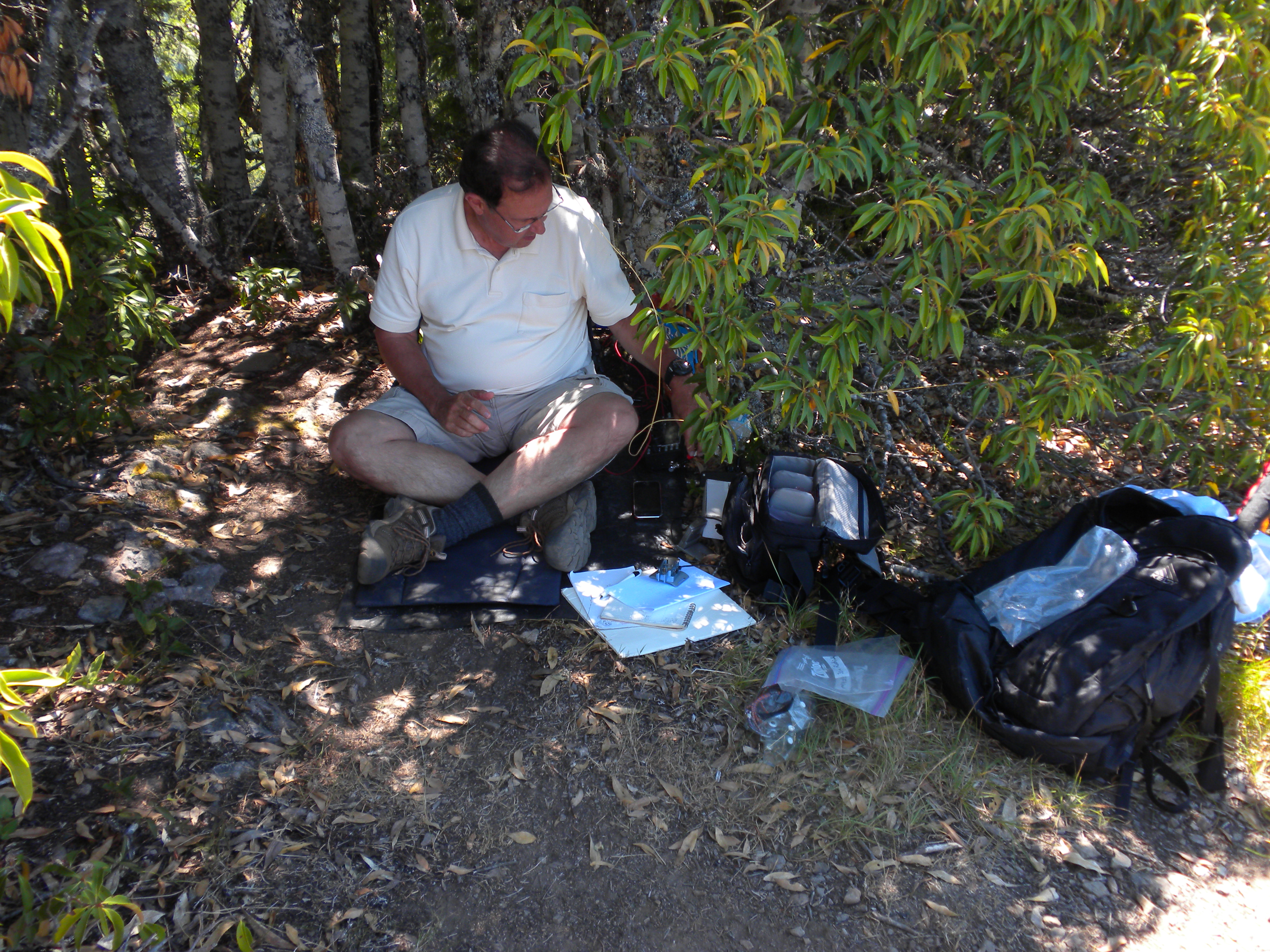
I deployed a KX3 and an EFHW with minimal radials and operated on 20, 30 and 40 meters, making ample contacts and three S2S QSOs.