I activated Eagle’s Rest (W7O/WV-078) on July 23, 2013. There are several routes to get to the summit. There is a long trip (over 13 miles round-trip) from a trail head on Highway 58. There is shorter (perhaps 5 miles round-trip) hike from a trail head part way up on the long trail. N7UN, NH6Z and I took that last year. Finally, there is a short, 0.8 mile, hike up an alt change of about 430 feet. That is the option I chose this year.
To get to the trail head for this shorter hike, take I-5 to Highway 58. Take 58 for 11.3 miles to a right turn onto Lost Creek Road. Follow this road 3.8 miles to a left onto Eagle’s Rest Road. Take this paved road 6.0 miles to the trail head on the right. Park and head up the trail into the forest.
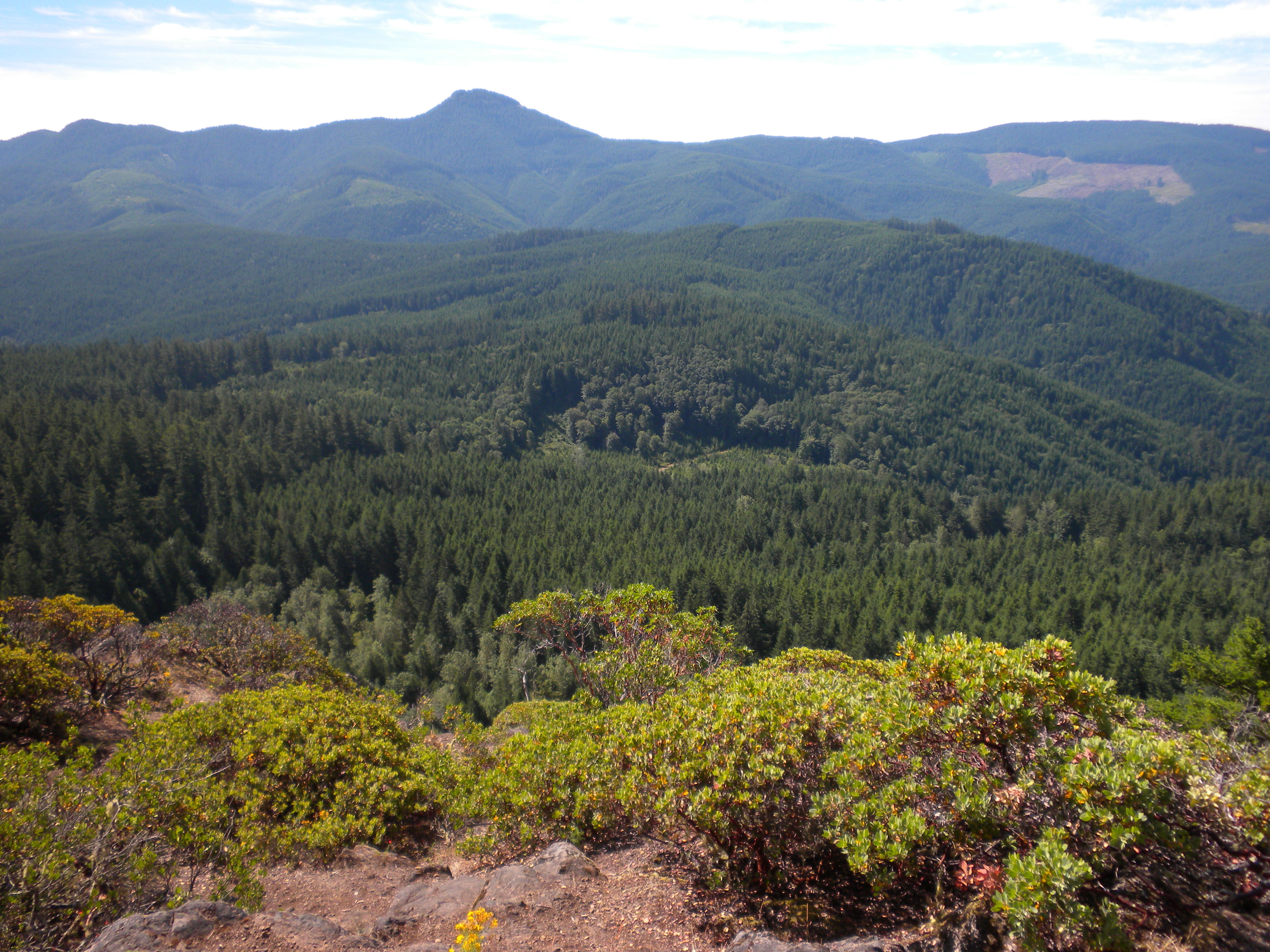
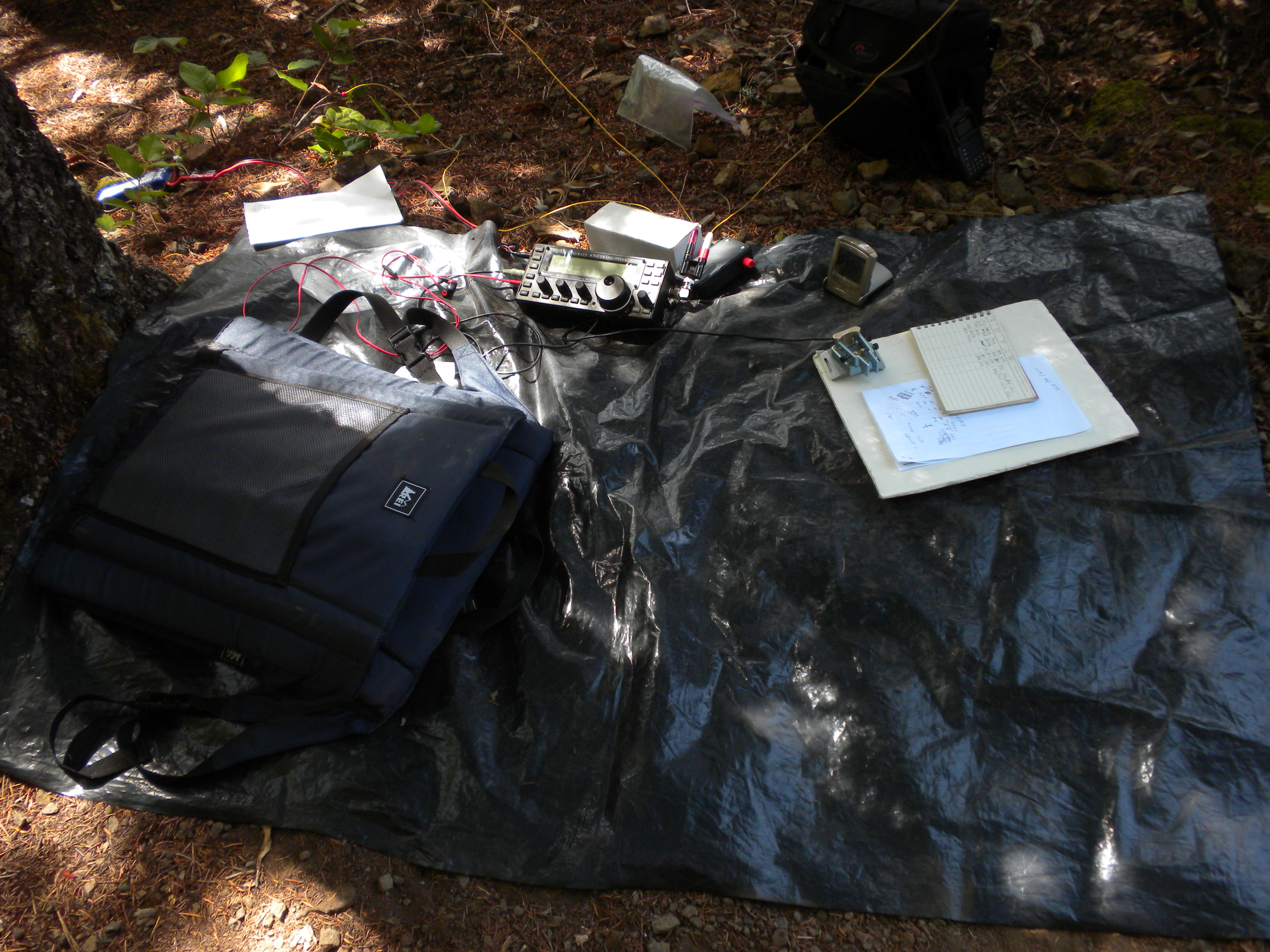
This section to the top is through a very pretty forest with a number of switchbacks. The rock outcrop at the top is small, but fine for one activator. It gets a bit close RF-wise for multiple stations. There are trees to hang wires from as well as shrubs to lash a pole to. I hung an EFHW wire from a tree and found a comfortable shady position under the wire to operate from. A pleasant few hours. The views are lovely across a valley toward another SOTA summit, Mt June.