This 5214’ (4 point) summit is a fairly easy, short hike after a fairly long drive in.
Take Hwy 58 to Westfir, OR. Westfir Rd turns north off of 58 across the road from the USFS Ranger Station. Take this road, and after about 0.5 miles turn left onto North Fork/Westfir Rd. Follow this until you come to NF-19/ Aufderheide Dr.
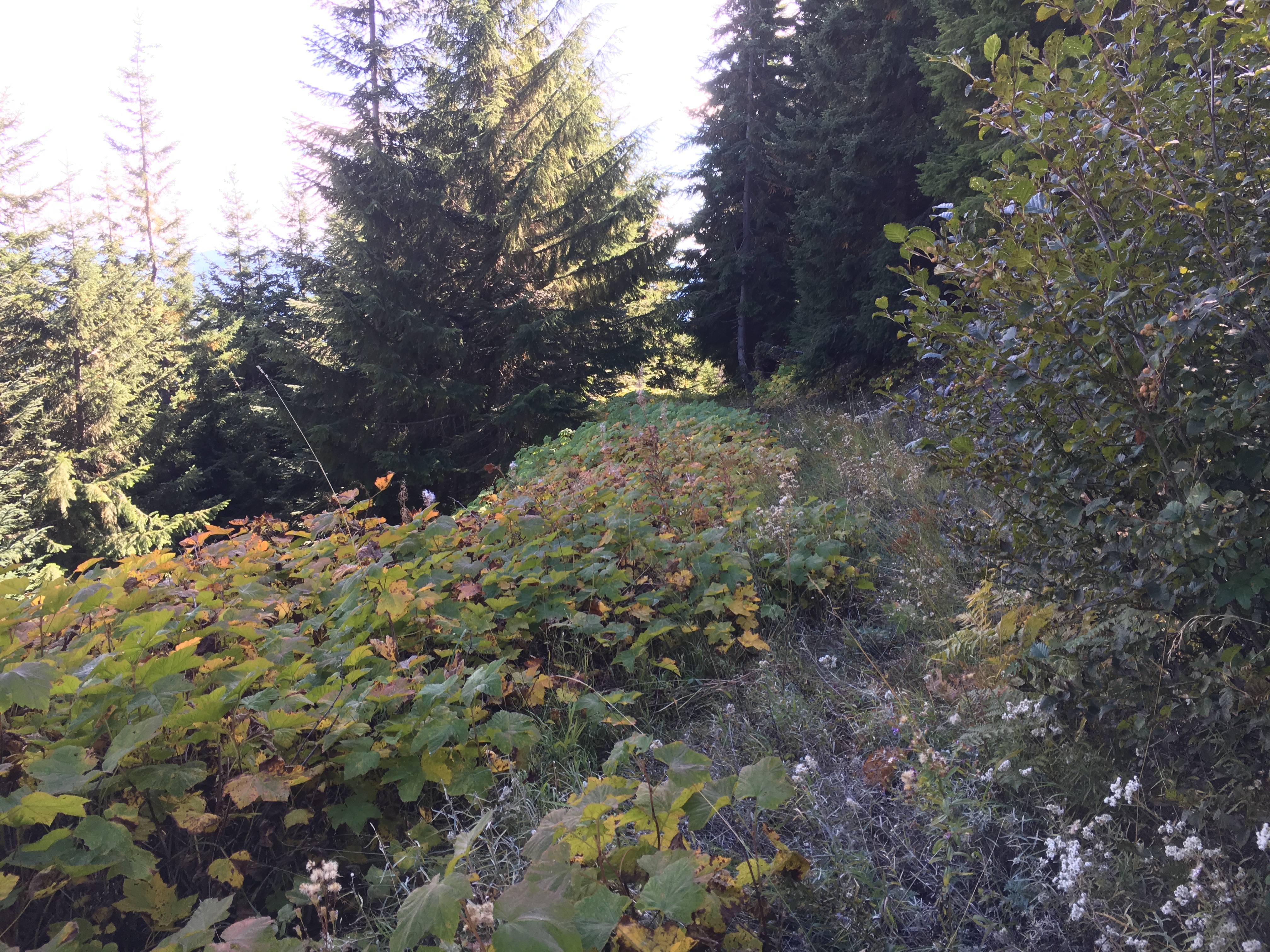
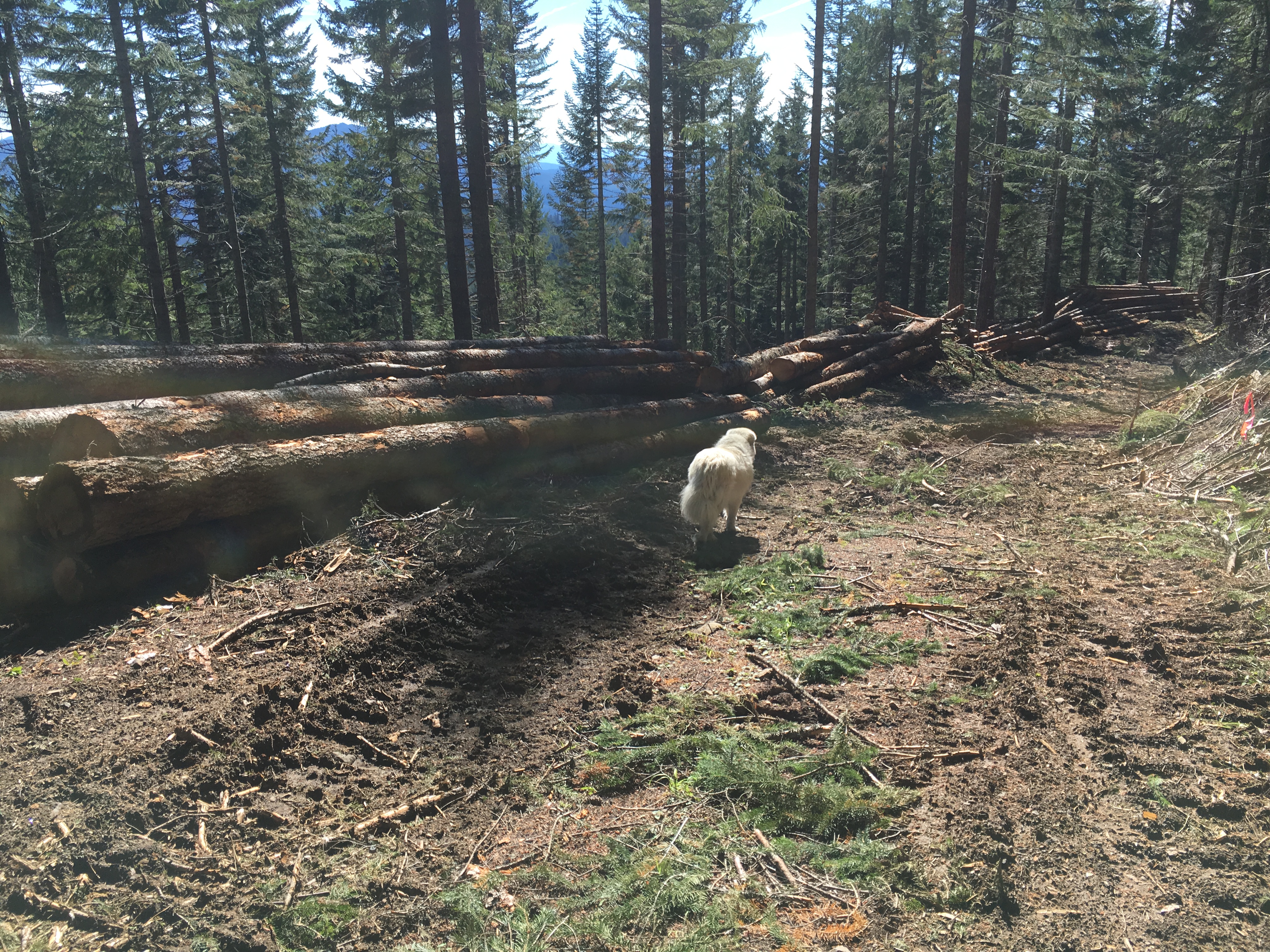
Stay on NF-19/Aufderheide about 12 miles until it crosses a bridge and become NF-1926. Stay on 1926 for about 10 miles until reaching NF-570 at a quarry. 570 is a pretty rough road, which was impassible when I was there due to a logging operation along the road. It’s best to park at the quarry and walk up. Follow the road uphill out of the quarry. After a half mile or so, the road branches. Take the uphill branch. This becomes very rough - you’ll be glad you walked.
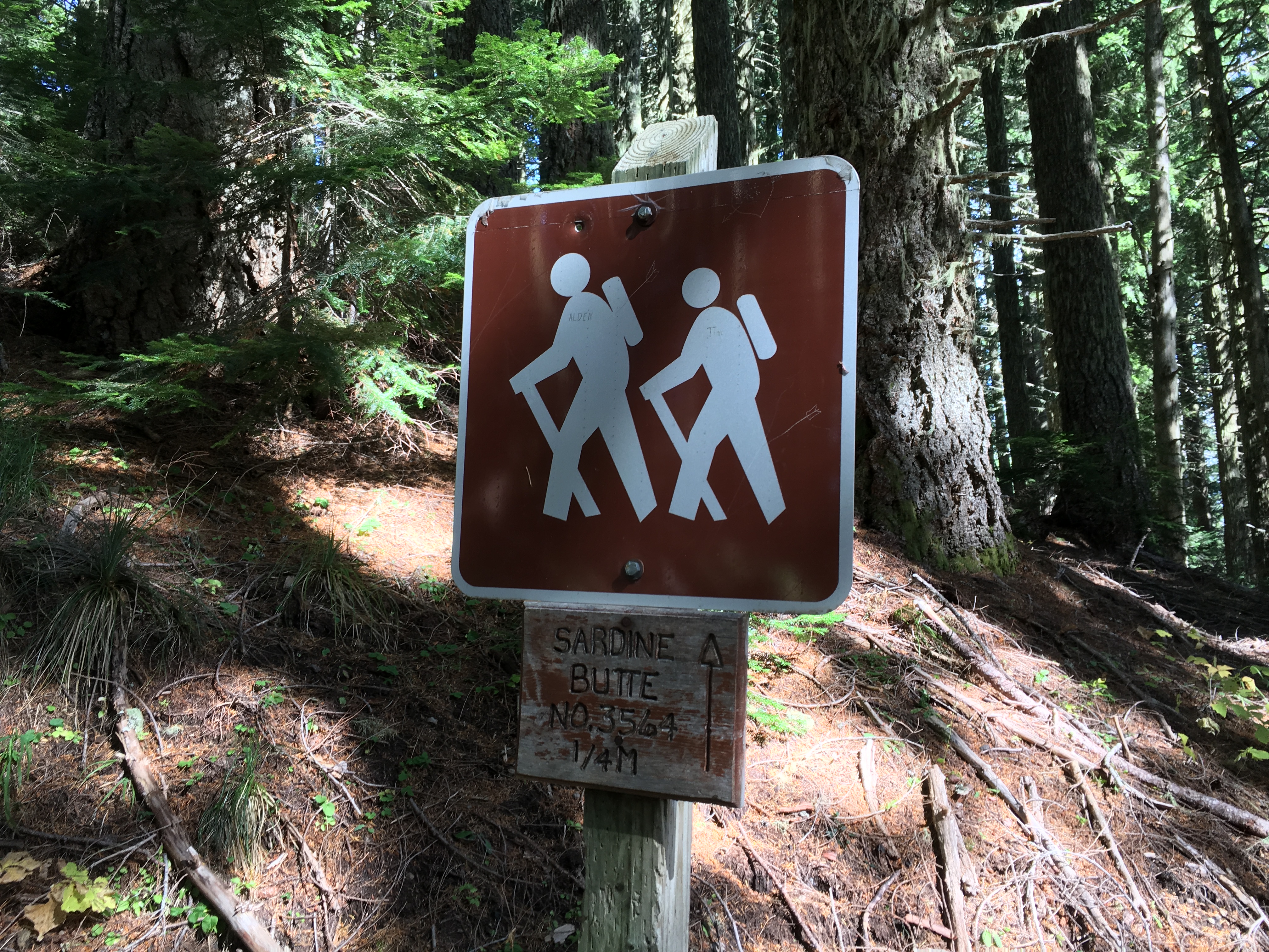
Oddly, the road/trail arrives at a Sardine Butte TH sign more or less in the middle of the forest. Follow the switchbacks up to the summit, which is a pile of rocks. There are a few shrubs to attach your antenna mast to, or a few trees below the rock pile for wire antennas. The total distance from the quarry to the summit is about 1.4 miles with an elevation rise of a little over 200’.There are nice views and plenty of rocks to use for a chair and/or operating table. It is radio quiet and produced a sizable list of stations all over North America as well as 9A7W in Croatia. Seven S2S QSOs, including VE2DDZ.