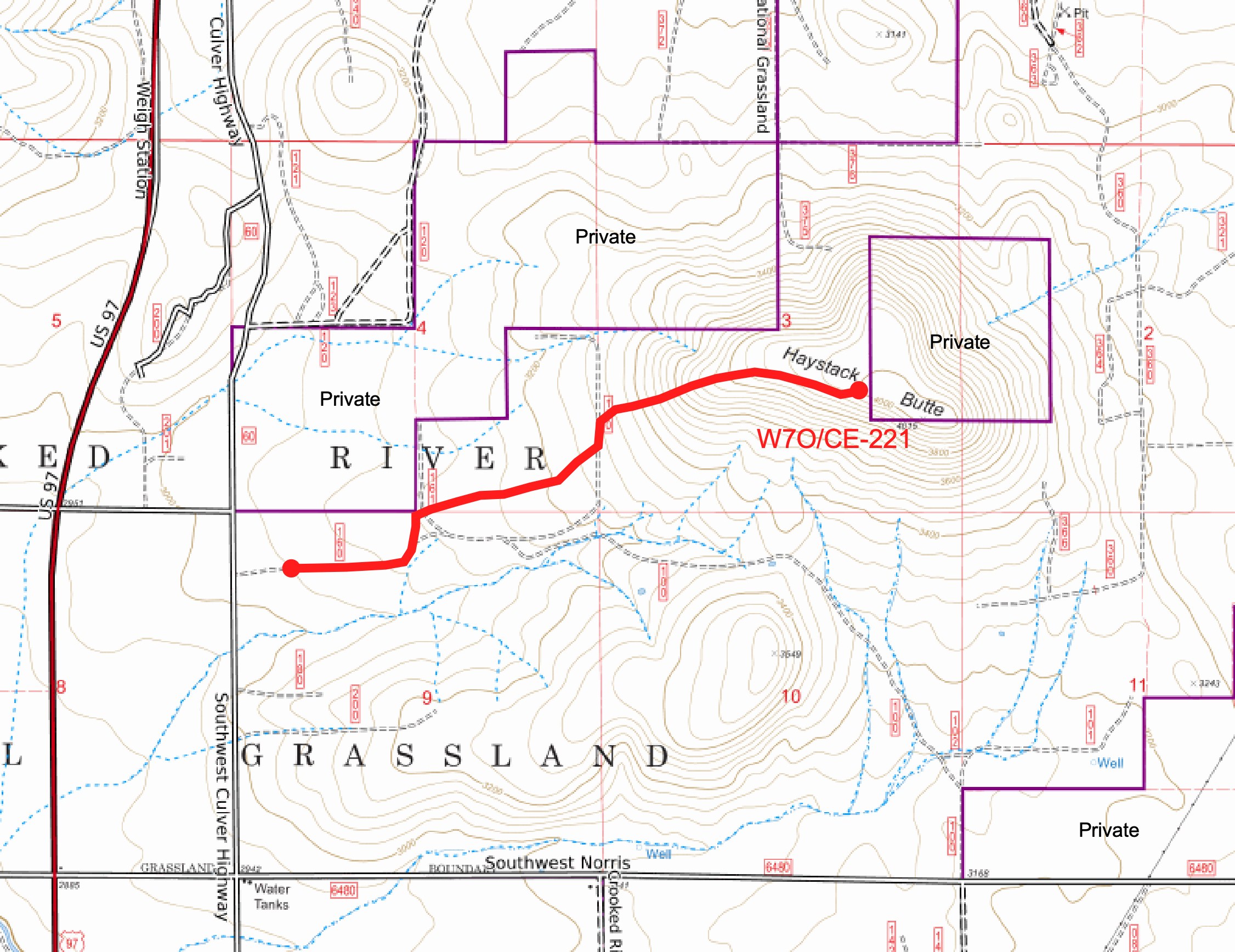
Haystack Butte (W7O/CE-221) is located in the Crooked River National Grassland, which is part of the Ochoco NF. There are some private grazing lands around the base and at the very top that you'll need to avoid, but access to a large activation zone is available via public lands. Note that some online mapping platforms such as CalTopo do not accurately show the public/private land pattern in this area.
The map below shows the route I took. There are other ways, but hiking up from the west, parking just off the Old Culver Highway (dirt Rd 44.4601, -121.1895), is the most direct. This route is 1.8 miles up to the AZ with a climb of just under 1000 feet. There are two barbed wire field fences that you’ll need to cross, but I was able to find places to crawl under them with no problems. Again, this is all on public lands.
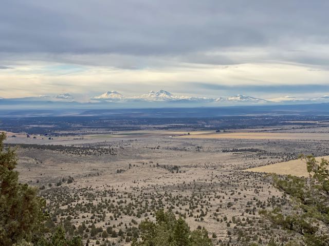
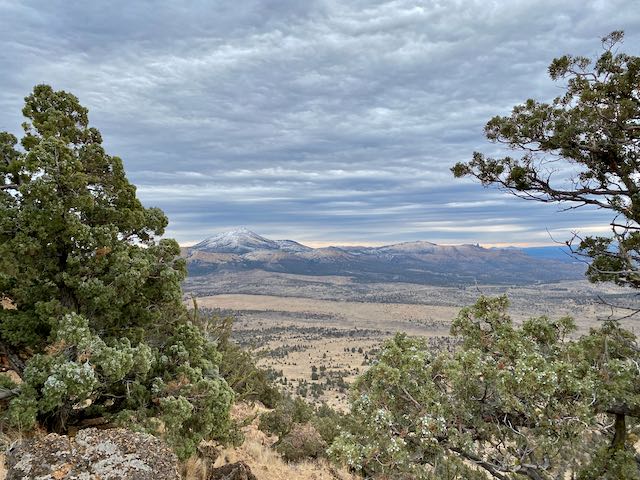
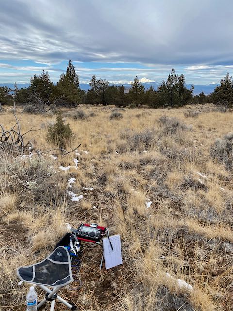
The climb is steep in some places, but fairly easy to traverse. Up top there’s a large AZ with short juniper trees. You may find one tall enough to hang a wire, but a mast is recommended. Note that there’s a 1/4-section of private land at the very top, but lots of room outside that in the public-AZ for your radio room.
I had good (2-bar LTE) Verizon cell and data service and could self spot.