Lummi Peak is a 2 point summit located in Whatcom County, WA. A short ferry ride will take you to Lummi Island, which was $13 for vehicle with driver (as of Nov 2019). After deciding to take a Friday vacation day, Jason KV7DX (previously KE7UIU) suggested Lummi Peak. He had activated the summit twice (Aug 17 and Dec 18), and it sounded like the perfect option for a cold and sunny November day. I was also excited to try out a portable setup for FT8.
Directions:
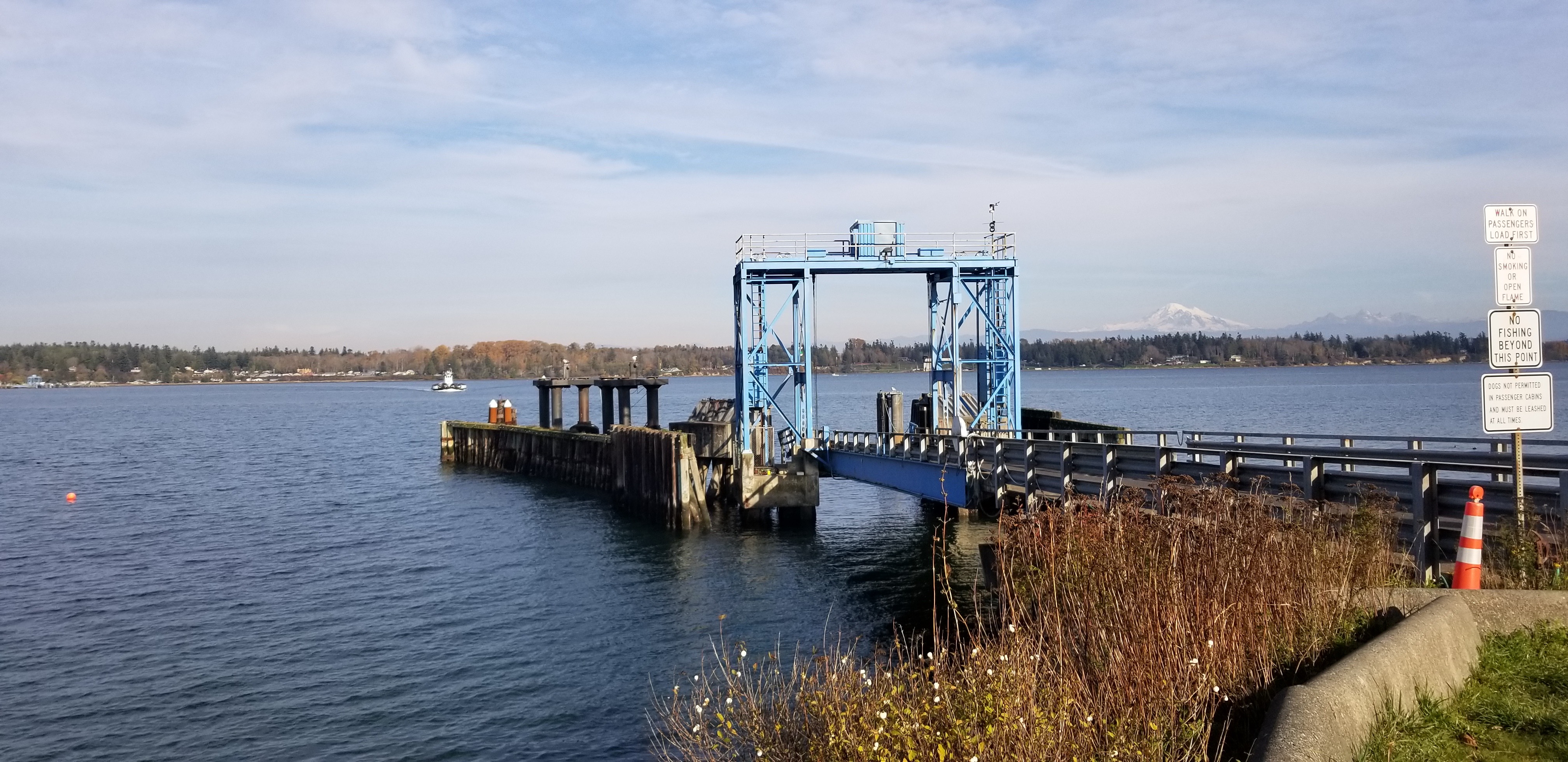
Follow I-5 to exit 260, which is North of Bellingham. Turn left (or West) on Slater Road. Follow Slater Road 3.2 miles to Haxton Way. Turn left (or South) on Haxton Way. Follow Haxton Way 7 miles to the Whatcom County Lummi Island Ferry. The link below provides ferry information including schedule, rates, direction, etc. Once you arrive on Lummi Island, turn left onto S Nugent Road. In 0.6 miles, turn left onto Seacrest Drive. The Baker Perserve Trail parking will be on your right in 1.7 miles. It's easy to miss, and I drove past the first time. There is parking for ~5 cars, and sign-in is required at the trailhead.
Ferry Information: http://www.co.whatcom.wa.us/562/Ferry-Schedule
The Baker Preserve information: http://www.liht.org/baker-preserve
Parking Pass: None Required
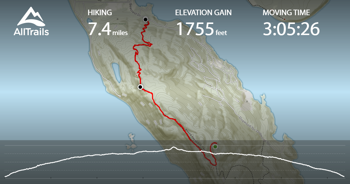
Trail Information: 7.4 miles and 1,755 feet of gain (per AllTrails tracking - see link below for route)
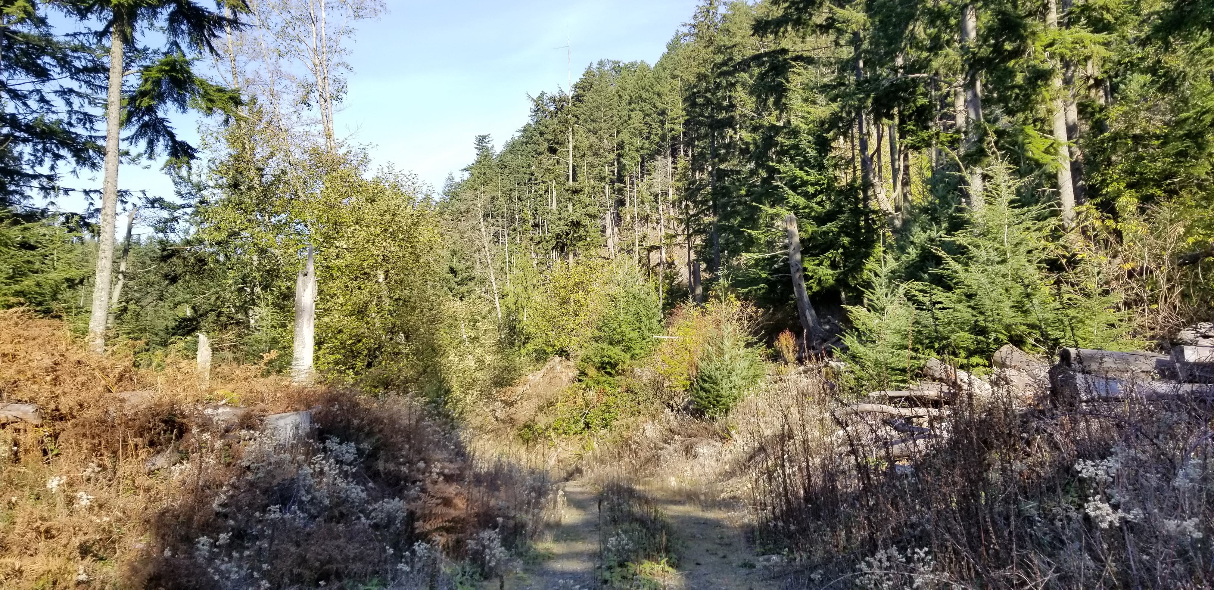
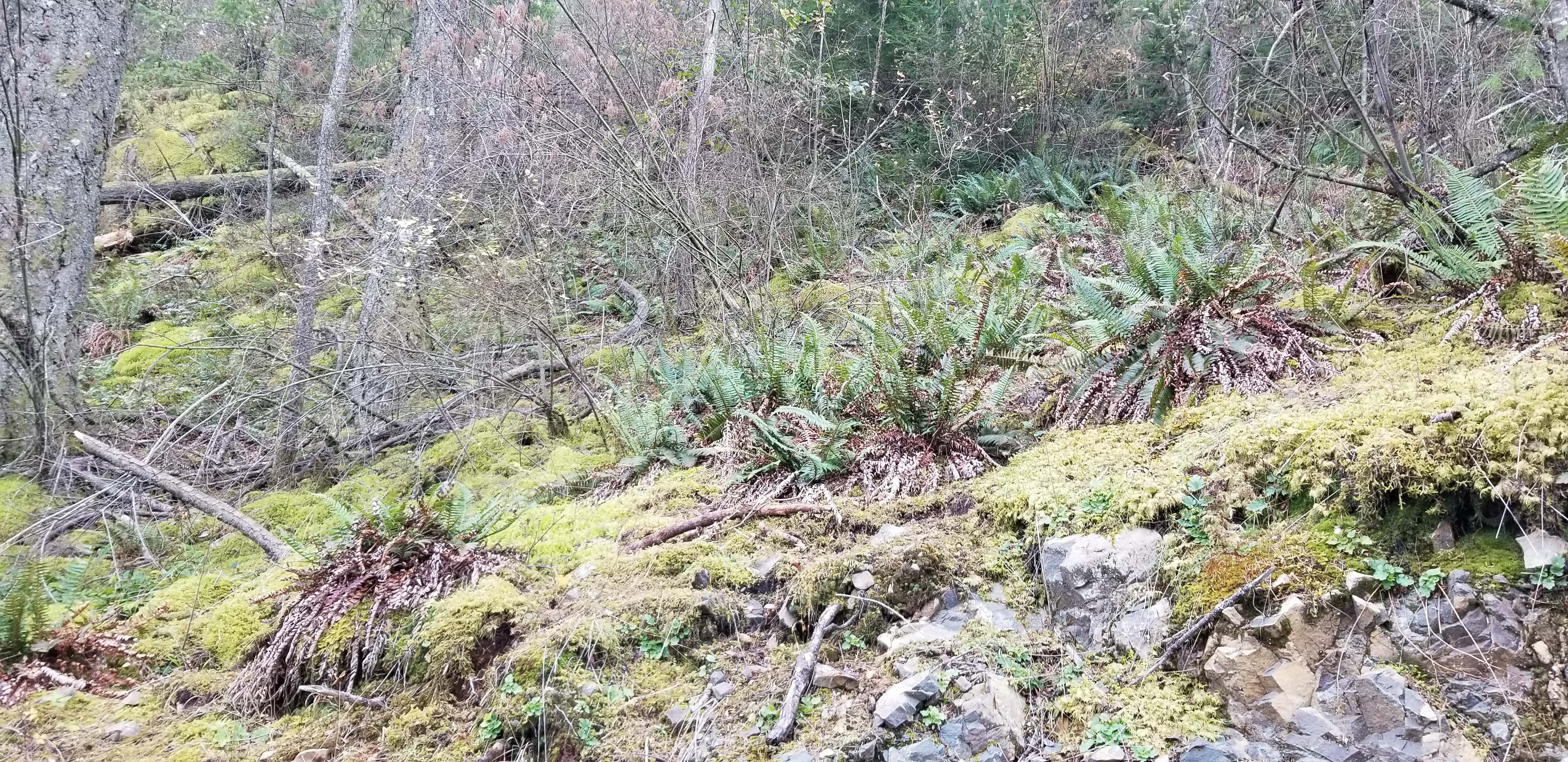
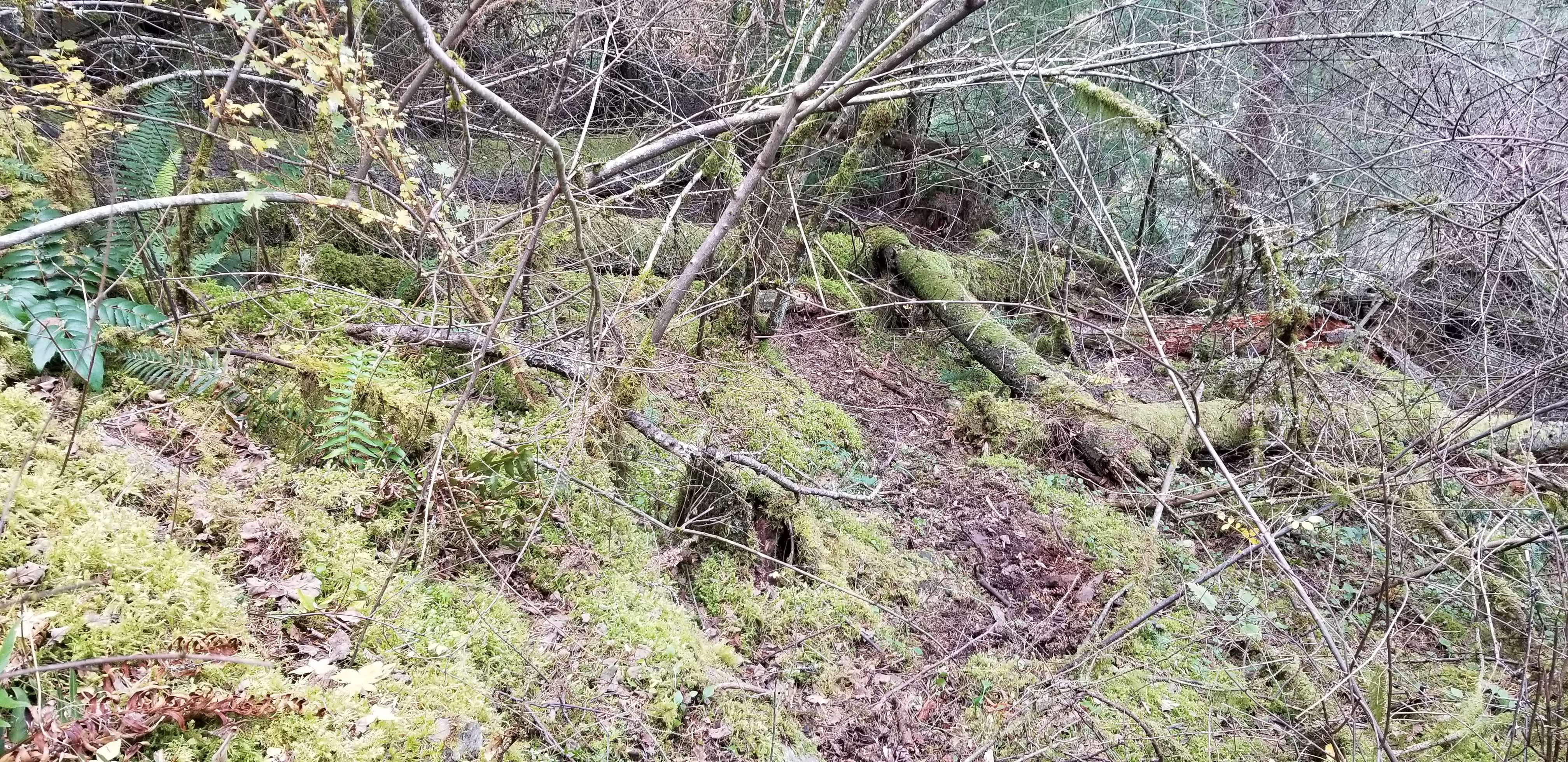
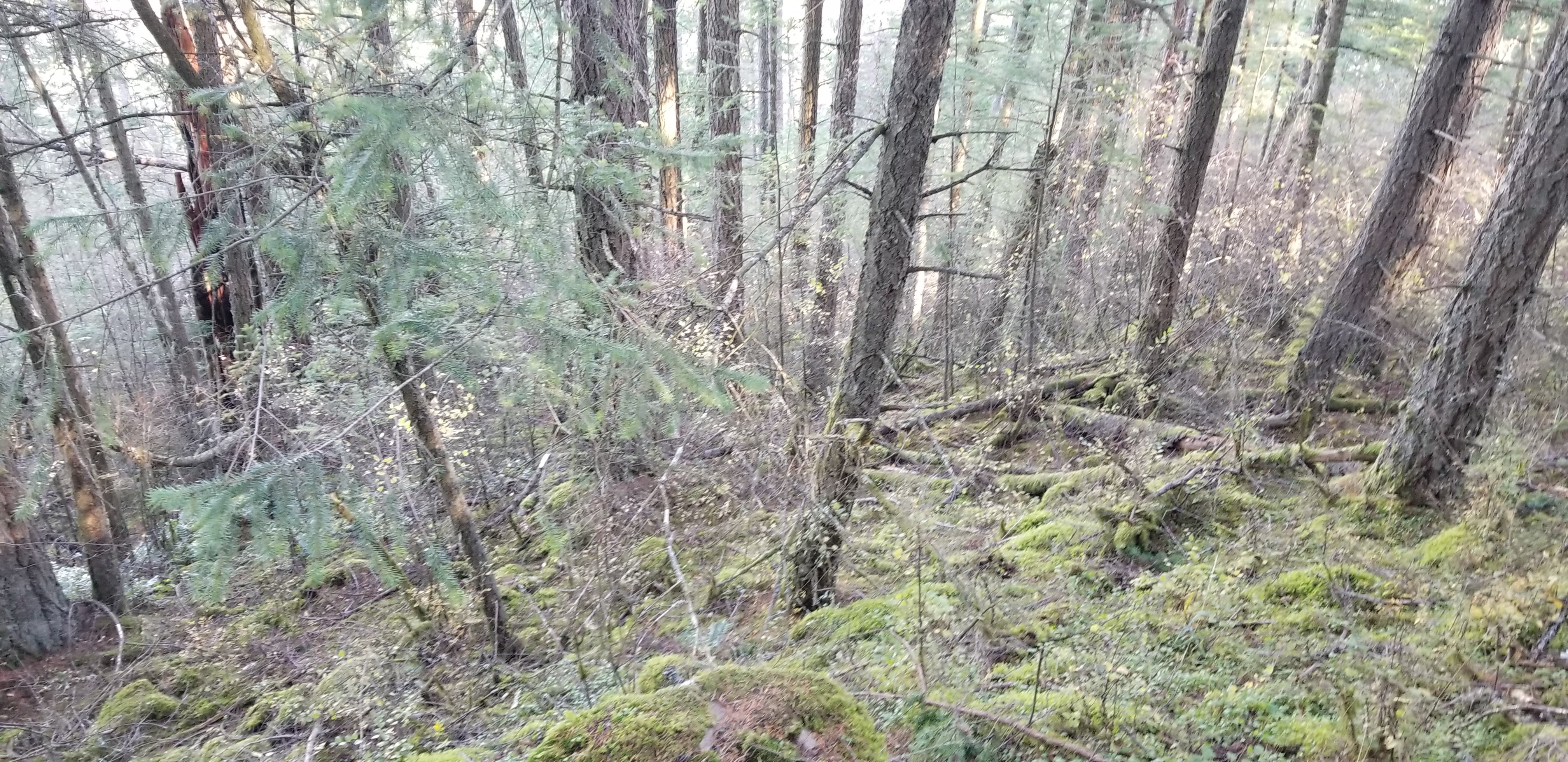
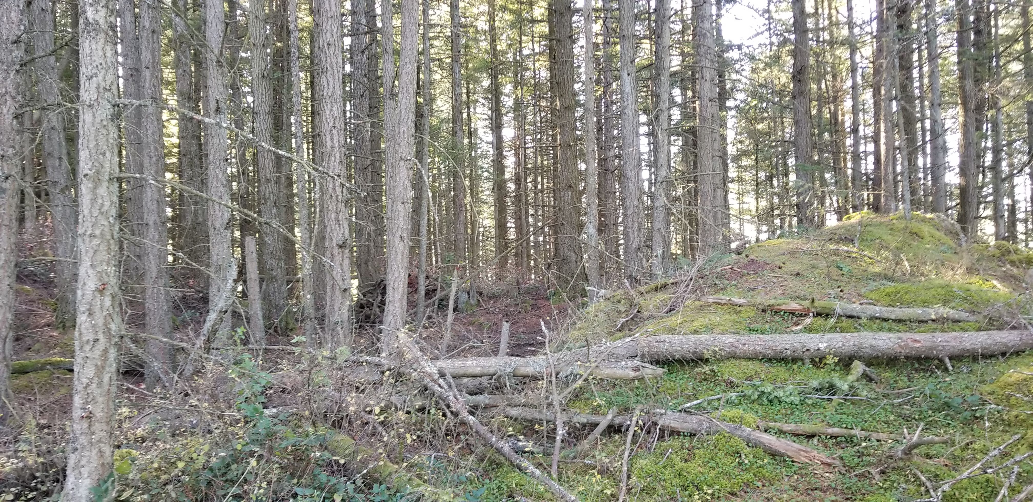
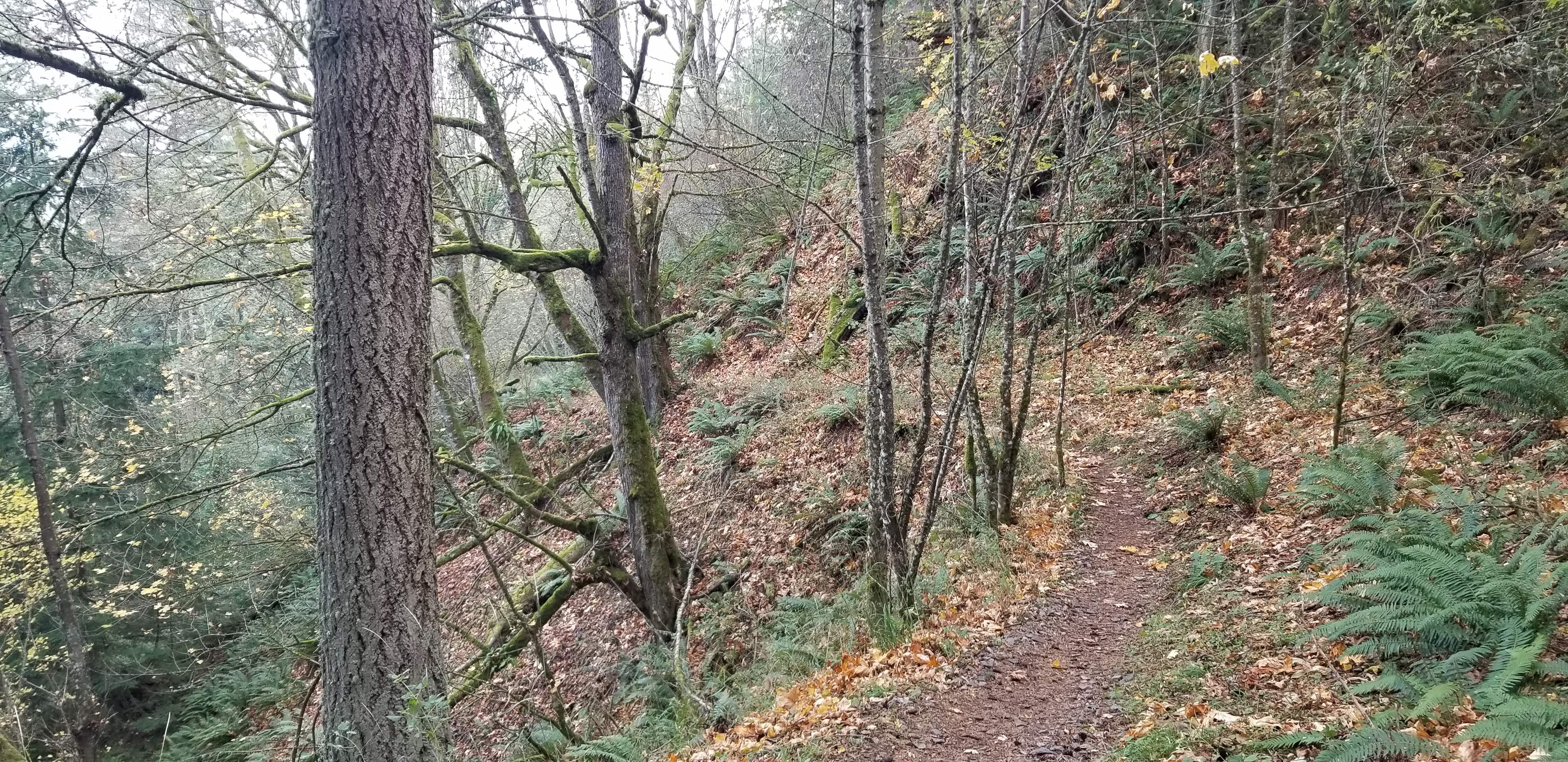
Most of the hike was along the "Baker Preserve Trail". Near the summit, take a left onto a logging road heading North. Follow this road to the end (don't turn left on road heading further North). At the end of the road on the North side of the summit, start a short bushwhack heading up the hill. This seemed to be the best/shortest option to get to summit activation area. There is a faint animal trail, and it was relatively easy to get short distance required to summit elevation. I stayed near the North side of summit within the activation zone at 499m (summit is 507m).
Route via AllTrails tracking: https://www.alltrails.com/explore/recording/recording-nov-01-03-06-pm?p=-1
AllTrails information: https://www.alltrails.com/trail/us/washington/lummi-peak-trail
WTA information: https://www.wta.org/go-hiking/hikes/baker-preserve
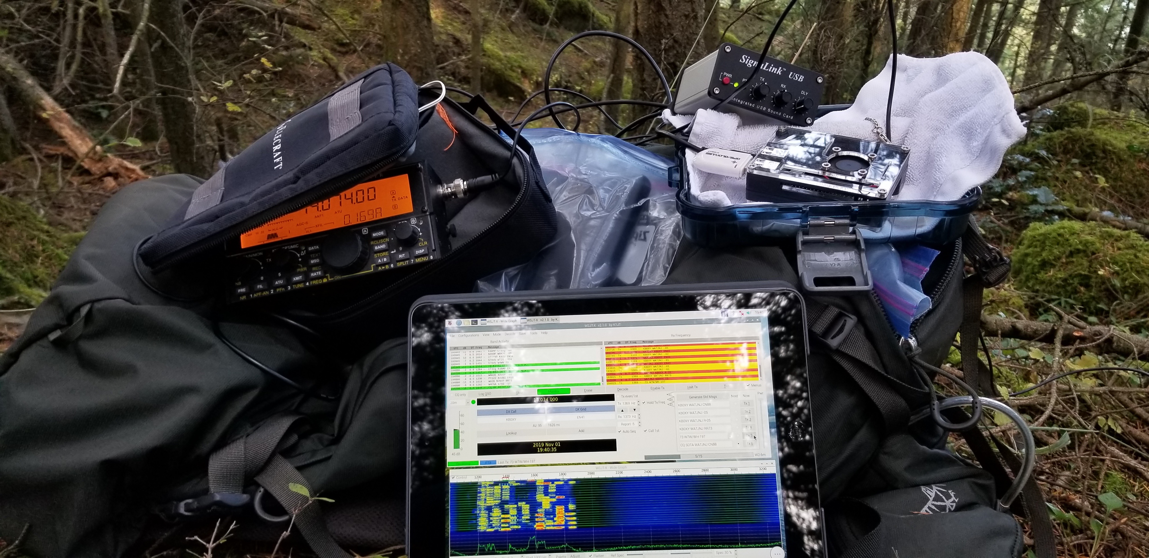
Summit: The summit is a larger area that is heavily treed, with no views. I set up a 20m end-fed and Elk antenna for VHF/UHF. Made 3 2m contacts with VE7HI, K7PC, and KF7JQV. On FT8, made 5 contacts including: KB0XY Iowa, KB2HSH New York, W2RWL New York, W4IOE North Carolina, and KC3RT Pennsylvania. Thank you chasers, and KB0XY for being first SOTA FT8 contact!
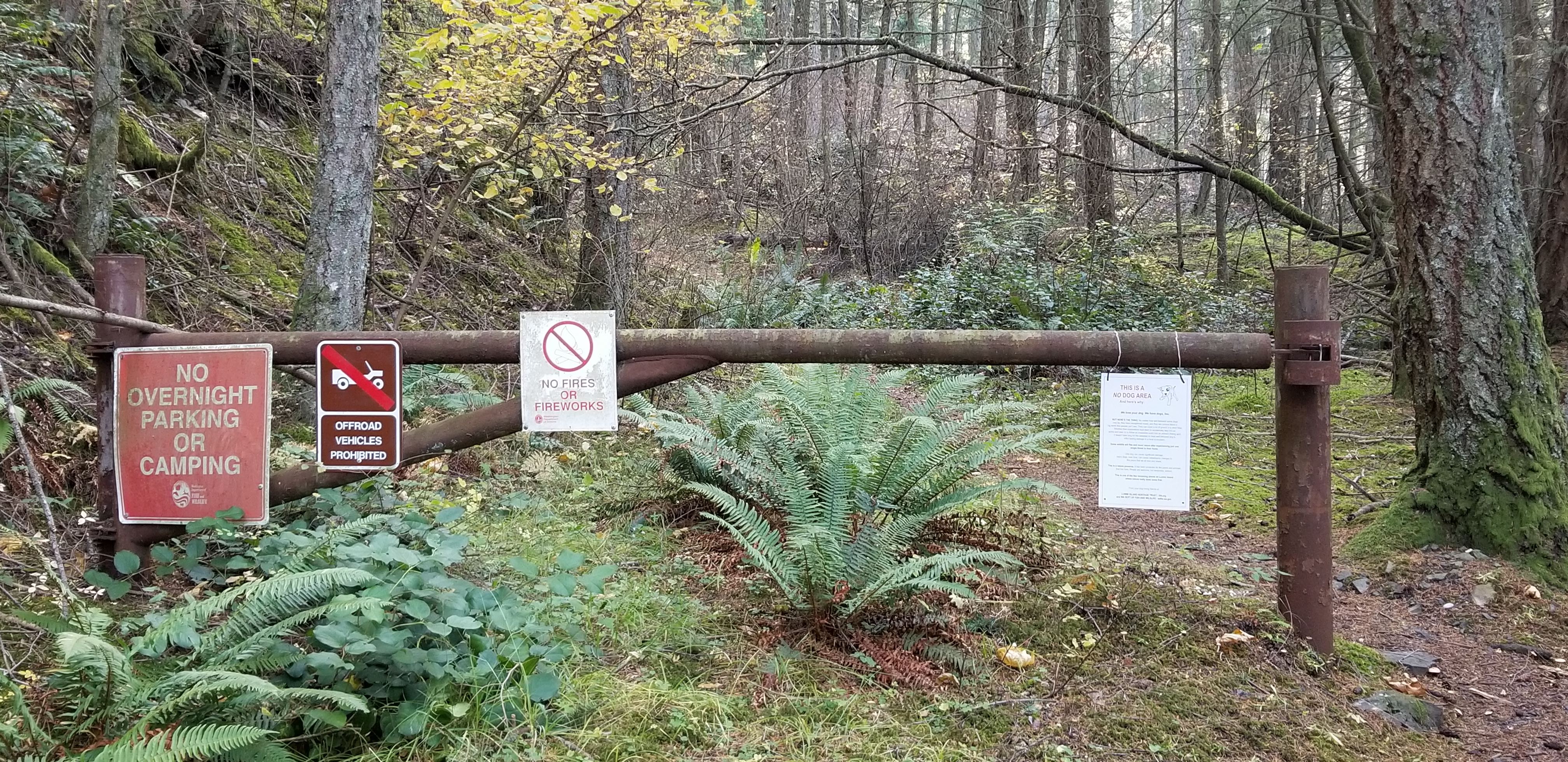
In reading SummitPost, there is discussion about part of the "Baker Preserve Trail" and SOTA summit being on private property. In looking at parcel maps afterward, part of the trail and the SOTA summit are owned by Lummi Island Land Co. Below is a picture of signage along the trail, and no other signage was posted. Signage said "No Overnight Parking or Camping", no off-road vehicles, no fires, and no dogs. Other hikers were encountered utilizing the trail section owned by Lummi Island Land Co. Please take this under consideration.
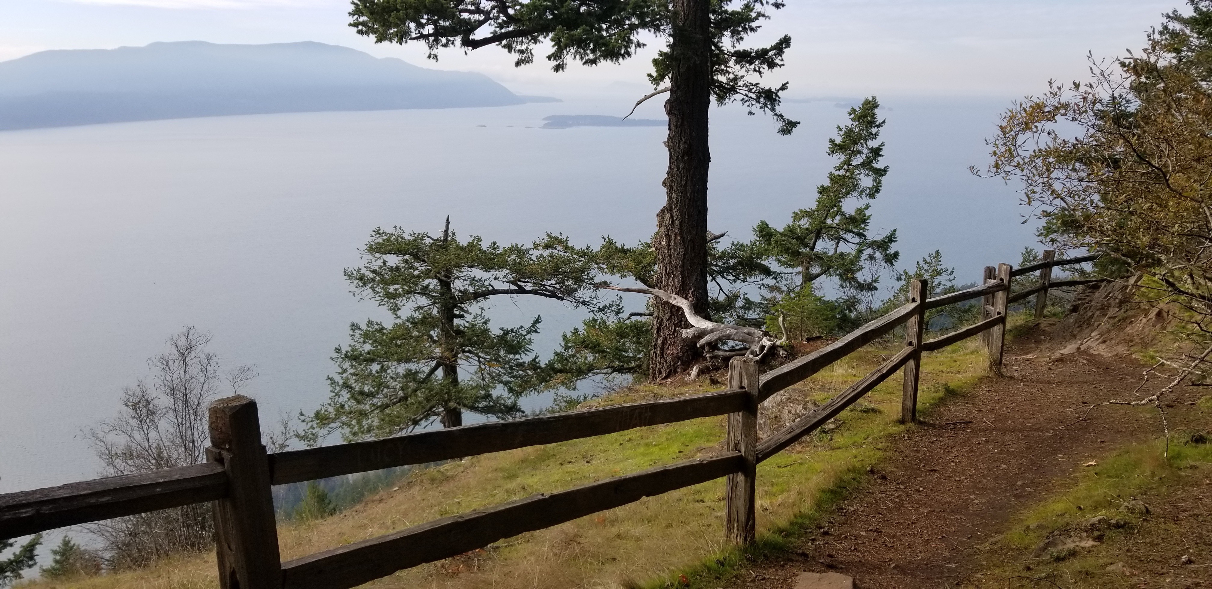
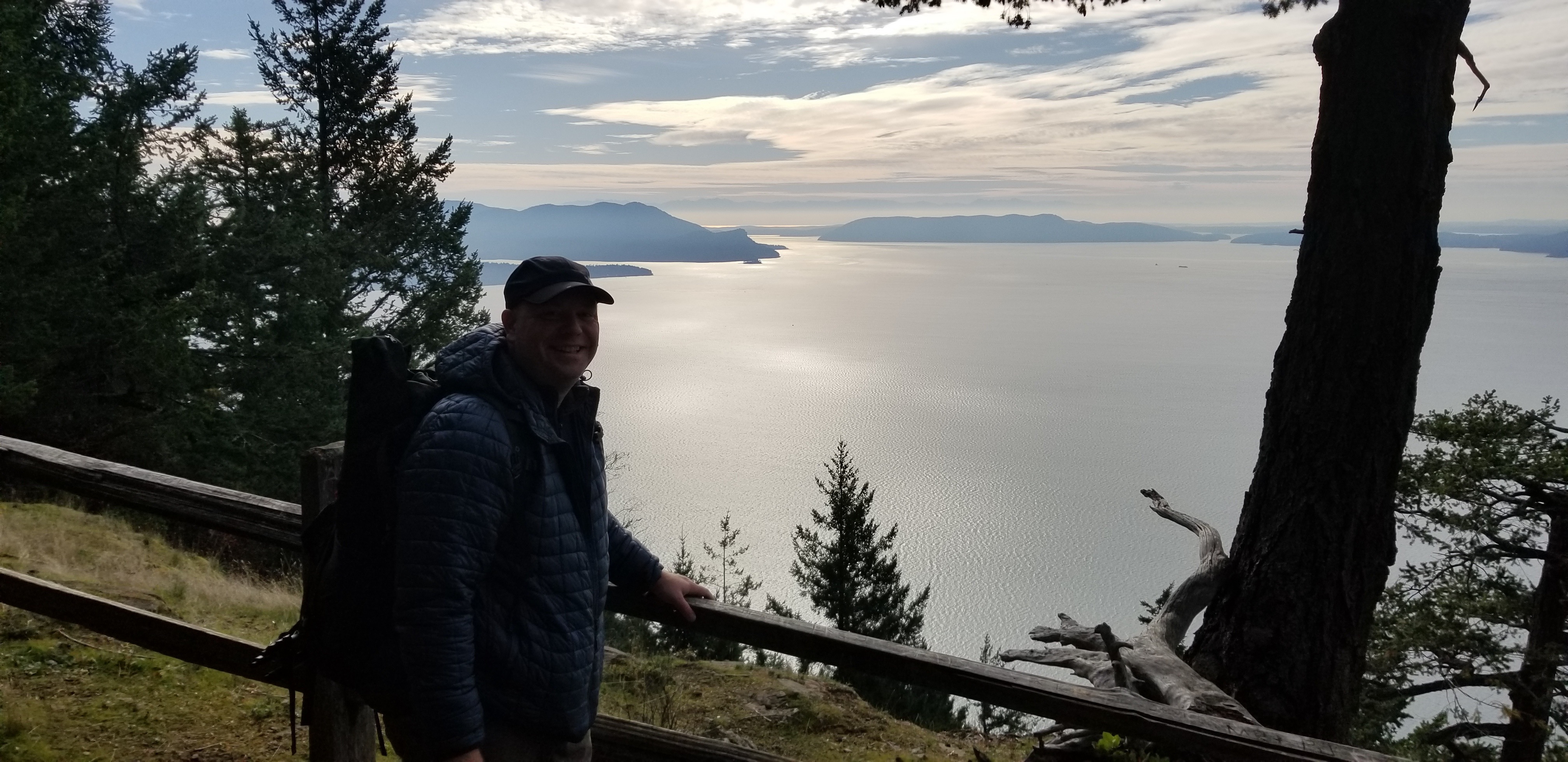
Overall, this was a fun adventure on a cold Fall day. While there are no views on the summit, make sure to stop at the lookout for views looking West at the San Juan Islands.