North Chuckanut is a heavily treed summit with very limited views, but is a nice well-marked hike. On a cloudy and rainy Saturday, the trail was well used. To access the summit, use the Pine & Cedar Lakes trailhead which is easily accessed off I-5 near Bellingham, WA. There is good parking and no pass required.
Directions:
From I-5 south, take exit 246. Turn right on S Samish Way (0.2 miles) and continue onto N Lake Samish Drive (0.1 mile). Turn right onto Old Samish Road for 2.6 miles, and then turn left into the trailhead parking area.
From I-5 north, take exit 250. Turn right onto Old Fairhaven Parkway for 0.1 mile, and take left onto 30th St. In a mile, turn left onto Old Samish Rd. In 1.3 miles turn right into the trailhead parking area.
Trail Information:
Information about Chuckanut Mountain Park may be found at link below, and you will primarily use the Pine & Cedar Lake trail. To access the summit, you will then need to follow the Cedar Lake overlook trail.
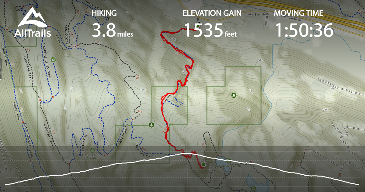
Hiking to the summit is 3.8 miles round-trip and 1,535 feet of gain. About half-way in the hike, there is a trail marker saying "Pine & Cedar Lakes Trail" with an arrow pointing left. You can go left, or I went straight which shaved a small amount of length. When getting near the top, there is a large sign board with trail going right and left. Turn left, and in about 100 feet you will take a left uphill on the Cedar Lake overlook trail. (There is a trail marker to show where to take this left). The summit is getting close at this point, and for me was 1.9 miles from starting in the parking lot.
http://www.co.whatcom.wa.us/2051/Chuckanut-Mountain-Park
https://www.alltrails.com/trail/us/washington/pine-and-cedar-lakes-trail
Pictures:
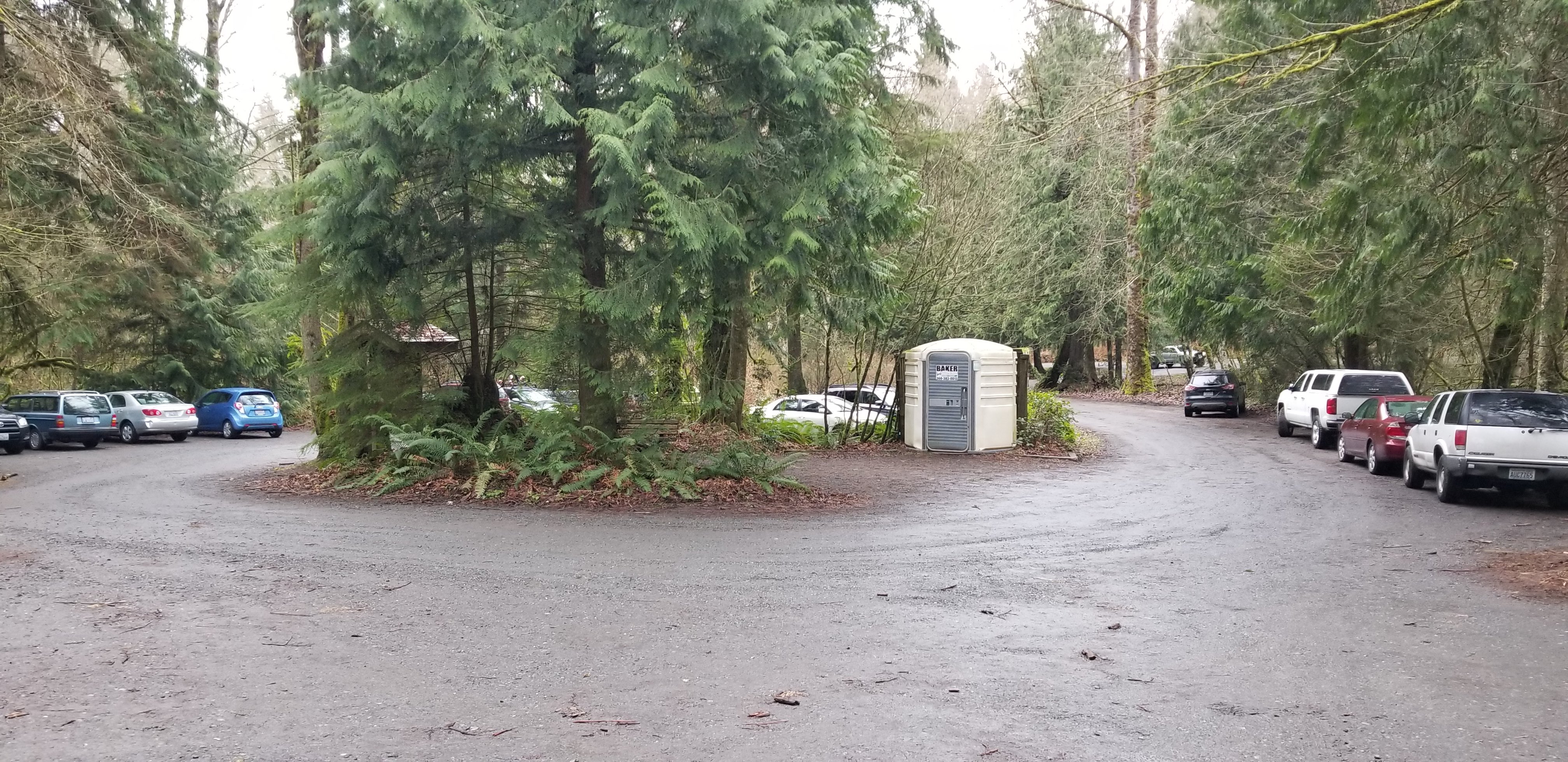
1 - Parking area
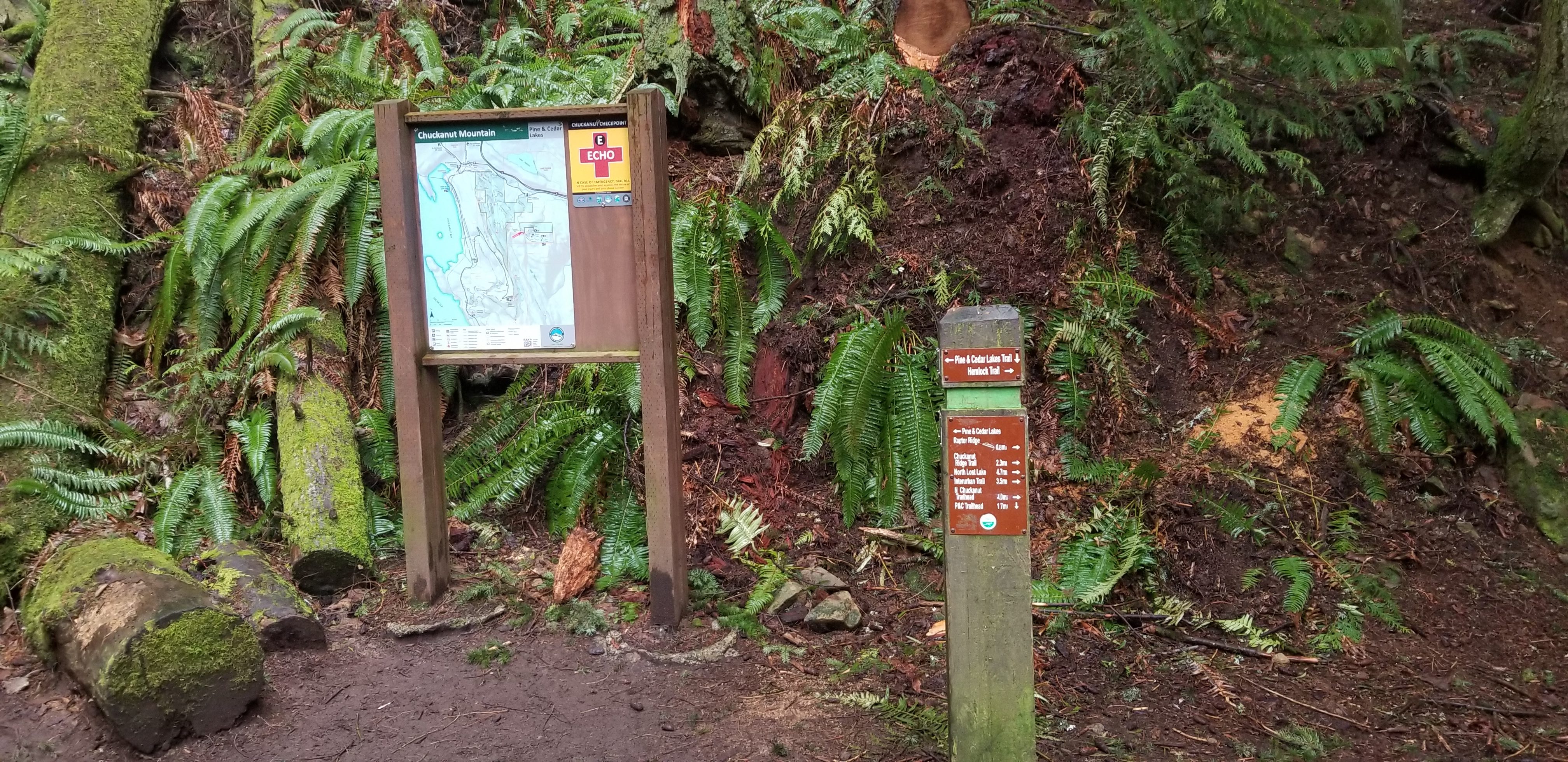
2 - First trail marker for Pine & Cedar Lake Trail - you can go left, or straight is a little shorter and nice trail
3 - Main sign board near top - take a left, and in ~100 feet another left onto Cedar Lake overlook trail
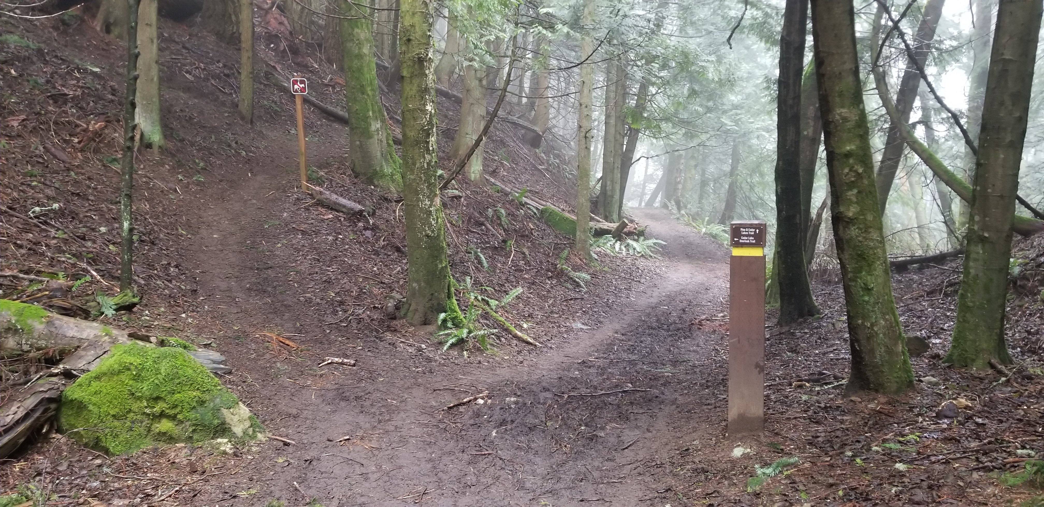
4 - Cutoff for Cedar Lake overlook trail is on the left (sign marker on right side of trail)
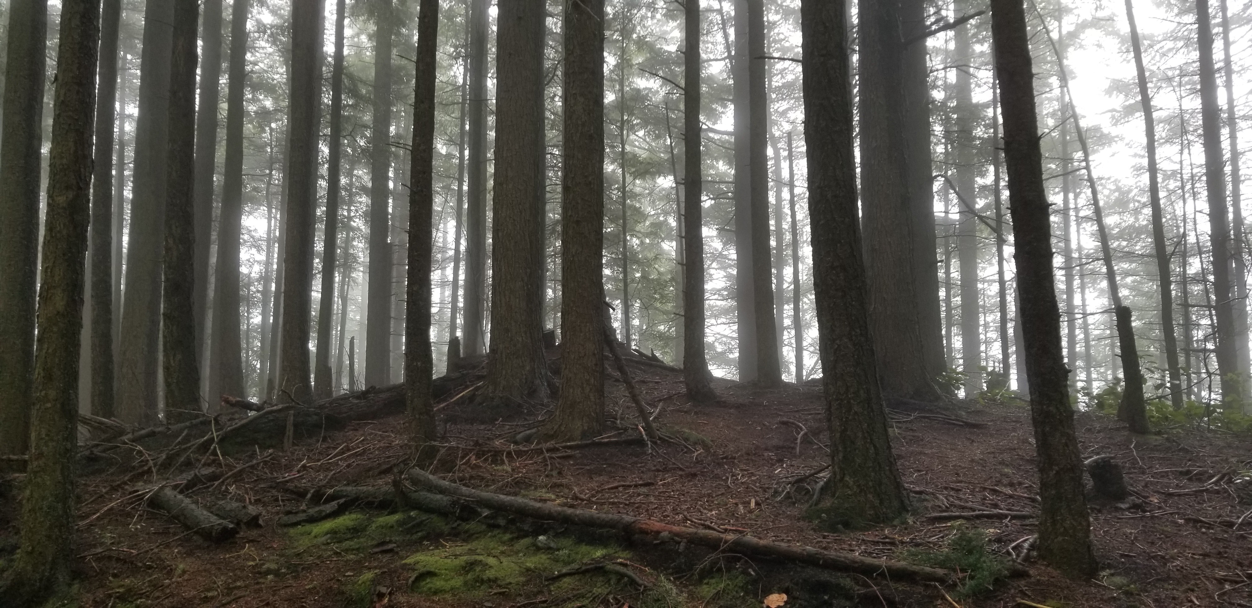
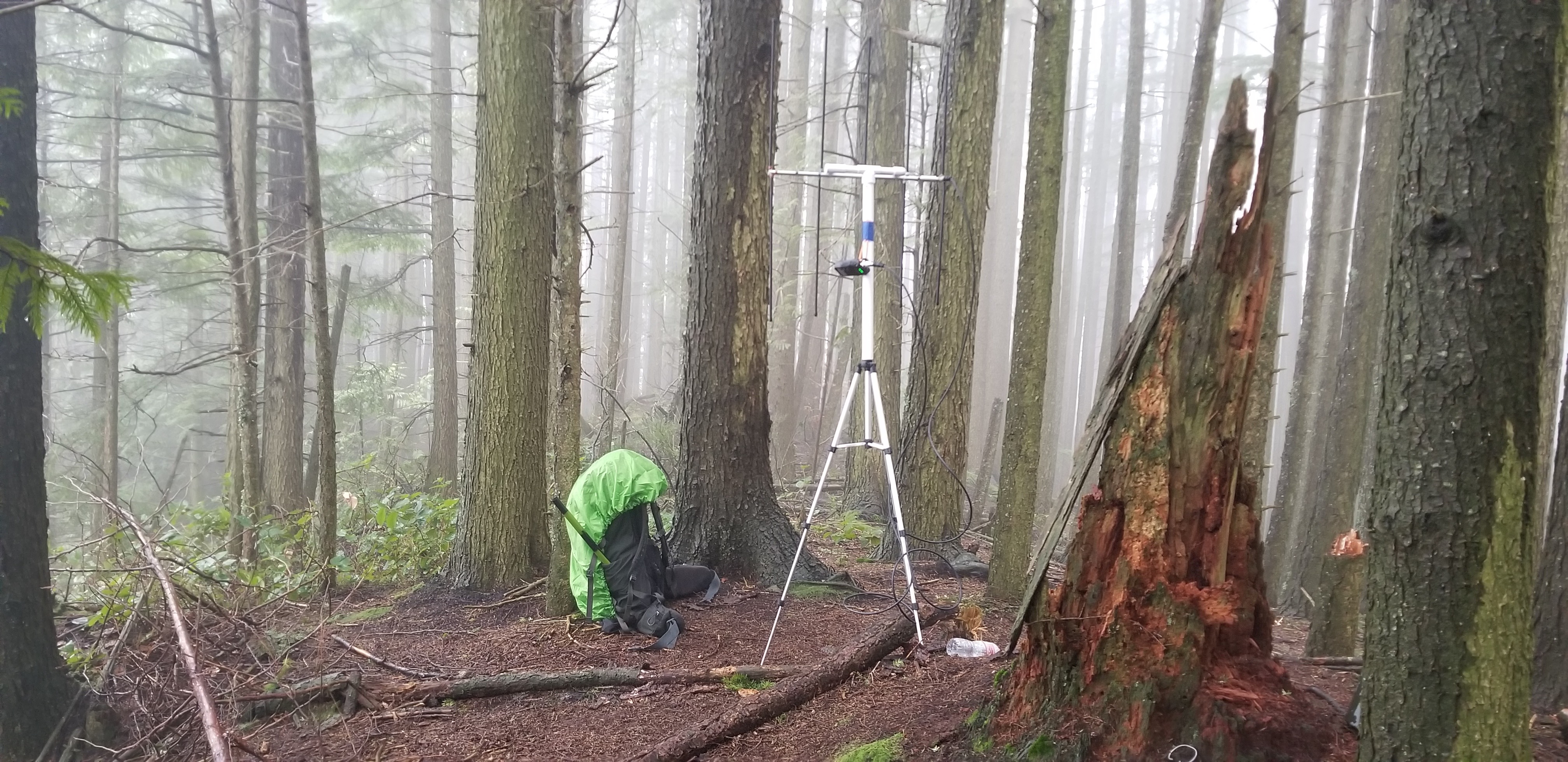
5 - Summit area
6 - Summit radio setup (there is a summit log near the stump on right)
7 - AllTrail tracking information/map