In March 2019, I nearly reached the summit of Stimson before turning around when it started hailing Was still newer to SOTA, and in hindsight almost wished I waited the weather out and activated the summit.
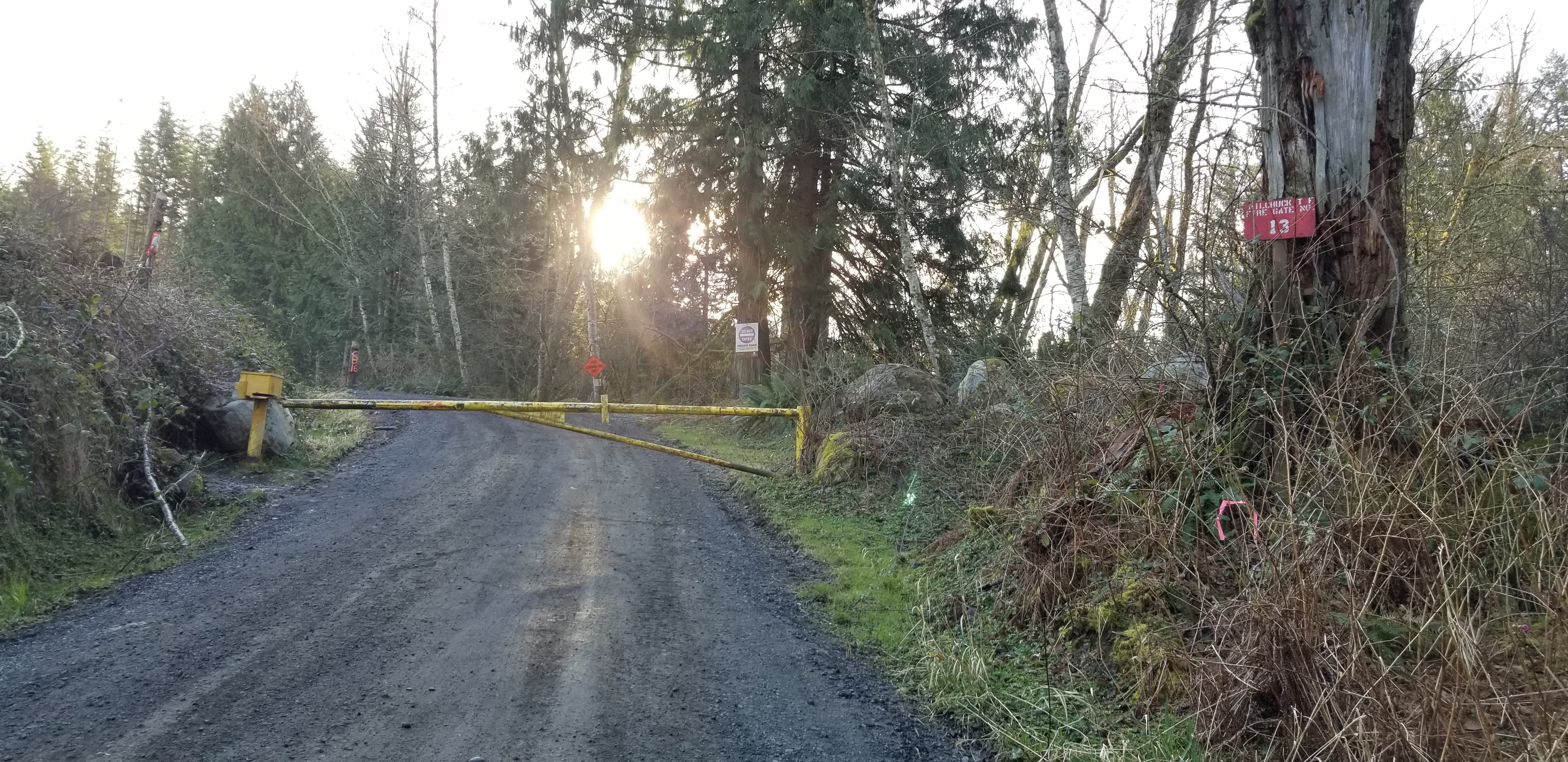
In March 2020, planned to activate again and there is a new sign located at primary access gate (Firegate #13) located just off "N Cedarvale Loop Rd" and SW of the summit. There is now a "Do Not Enter", "Private Road", "No access to state trustland through private property" sign.
There still should be another much longer access available off Granstrom Road, which is the way to access Mount Washington W7W/SK-153. After reaching near the summit of Mount Washington, there appears to be a road heading west toward Stimson Hill. Will have to try in the future, and biking may be the best option?
Always good reminder to have a backup option, and in March 2020 decided to activate Mount Cavanaugh W7W/SK-160 instead.