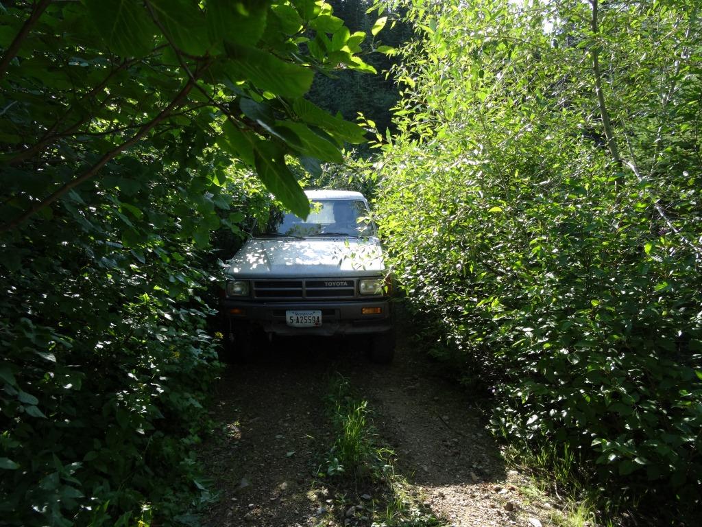
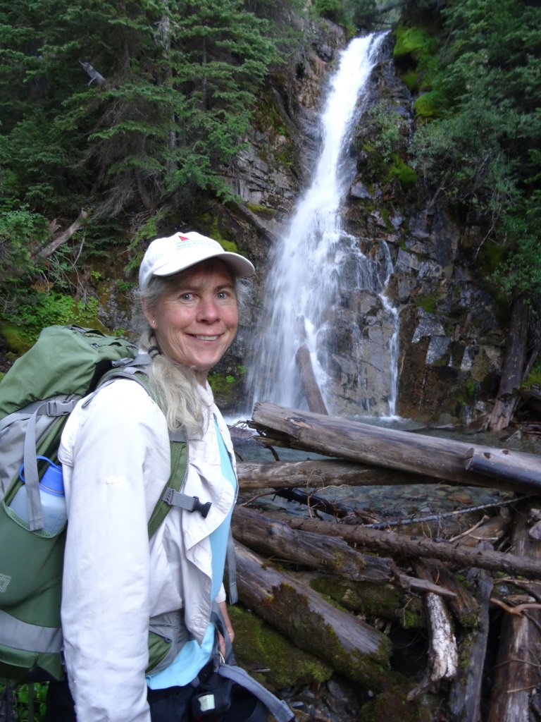
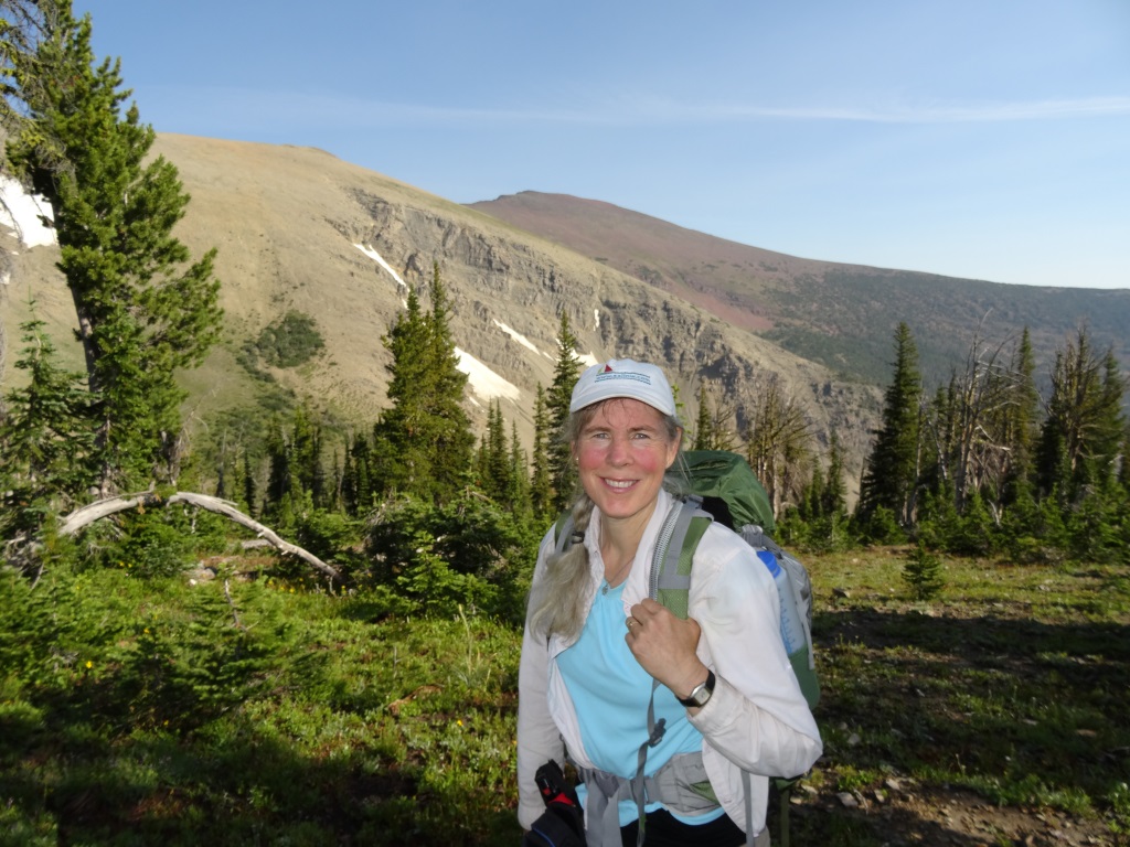
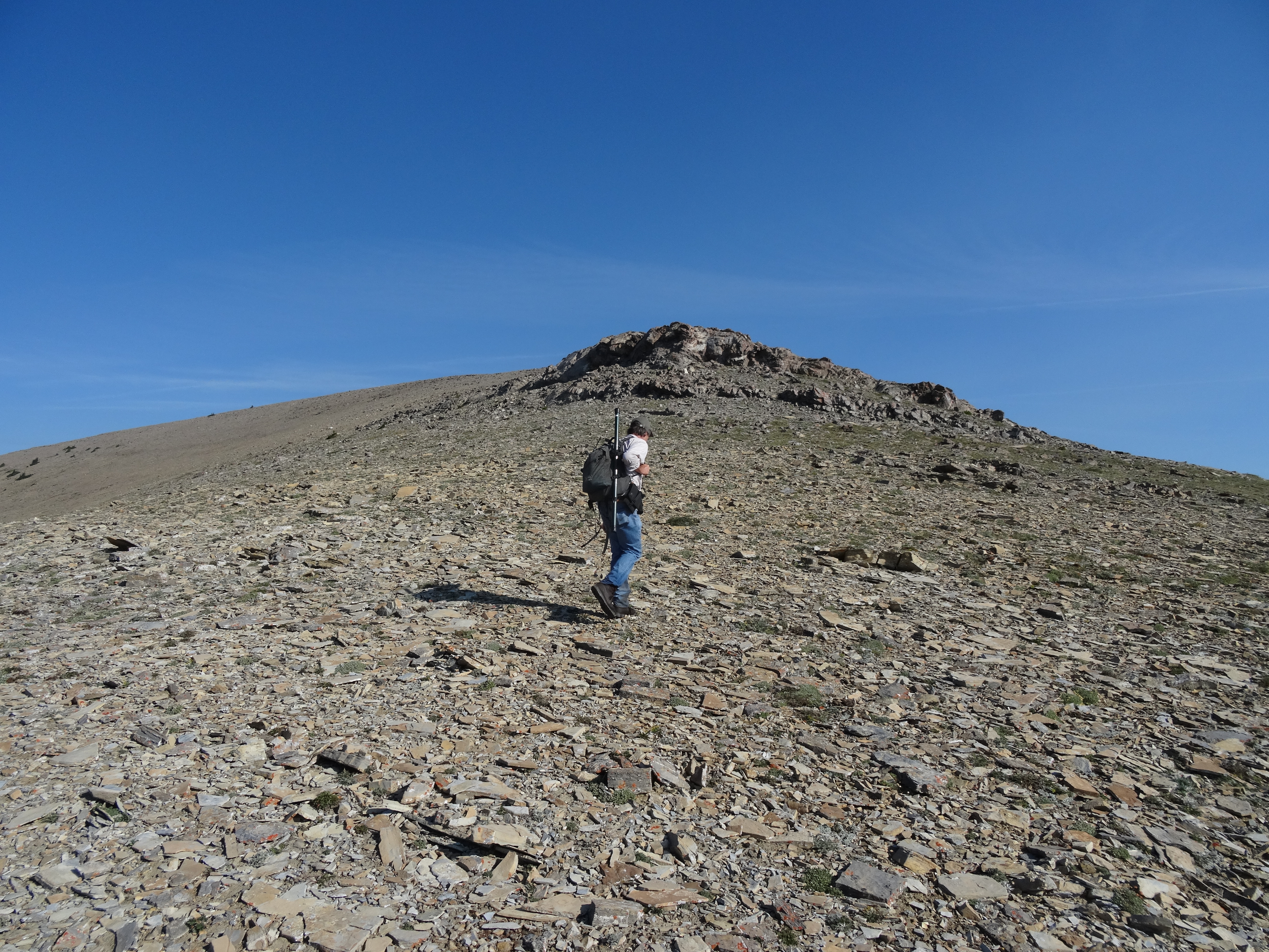
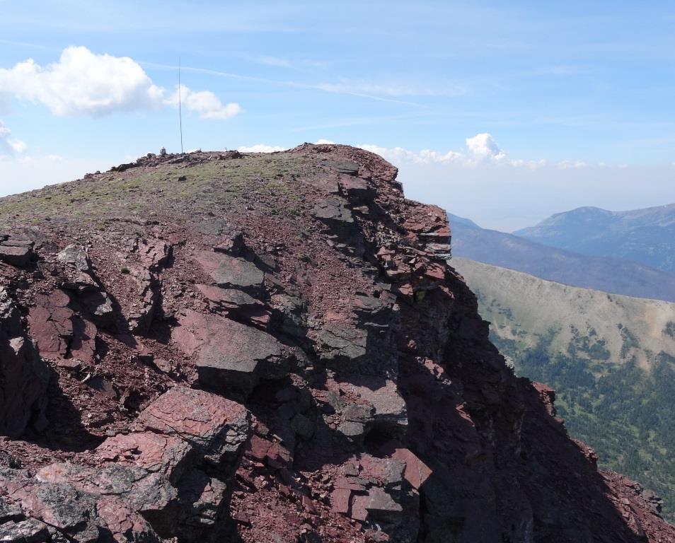
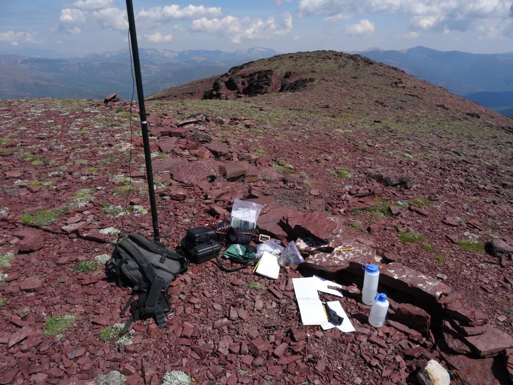
To access trailead From Highway 200 - take the Copper Creek road north. The road is a well maintained gravel road until after the upper crossing of Copper Creek, where it becomes somewhat more primitive. The road hairpins eastwards at this creek crossing, climbs gently, then hairpins again westwards and begins climbing more steeply. Turn right (north) at the first opportunity. This portion of the road is narrow and ingrown, with brush which may scratch wide vehicles. It is an "easy" 4wd or a "some clearance advised" 2wd road. The road will soon enter a streamside clearing where there is ample room to park. Begin the hike by crossing the creek, and follow the faint logging/mining road(s) northwesterly into a wooded basin. Ascend the left (west) side of the basin and scramble up a short band of cliffs to attain the north-trending spur ridge. The cliff scramble is brief and not overly difficult. Continue northwesterly up the spur ridge through mixed beargrass meadow and timber to the ridge crest. Follow the subsequent westerly trending timbered ridge upwards to the timberline where it joins the southern end of the Red Mountain Ridge. The Red Mountain ridge divides the East Fork Drainage to the west from the Copper Creek drainage to the East and offers spectacular views in all directions. Ascend northerly towards Red Mountain, skirting to the right (east) of the false summit - thereby avoiding the cliffs on the west side. There is ample room on the summit for any imaginable antenna configuration. The stone foundation of the long razed D-6 type cupola fire lookout (circa 1929) is a fine qth and can offer some small amount of shelter from westerly winds. Red Mountain is the high-point of both Lewis and Clark County, and the the Scapegoat - Bob Marshall - Great Bear Wilderness complex. Please note that this is an "off-trail" ascent & is in Grizzly Bear habitat. The trail is 3.1 miles long and ascends 3,200 feet. Red Mountain may alternatively be accessed by a longer "on-trail" approach from Heart Lake (which offers very fine fishing and camping).