2.0 mi, +800 feet, -400 feet
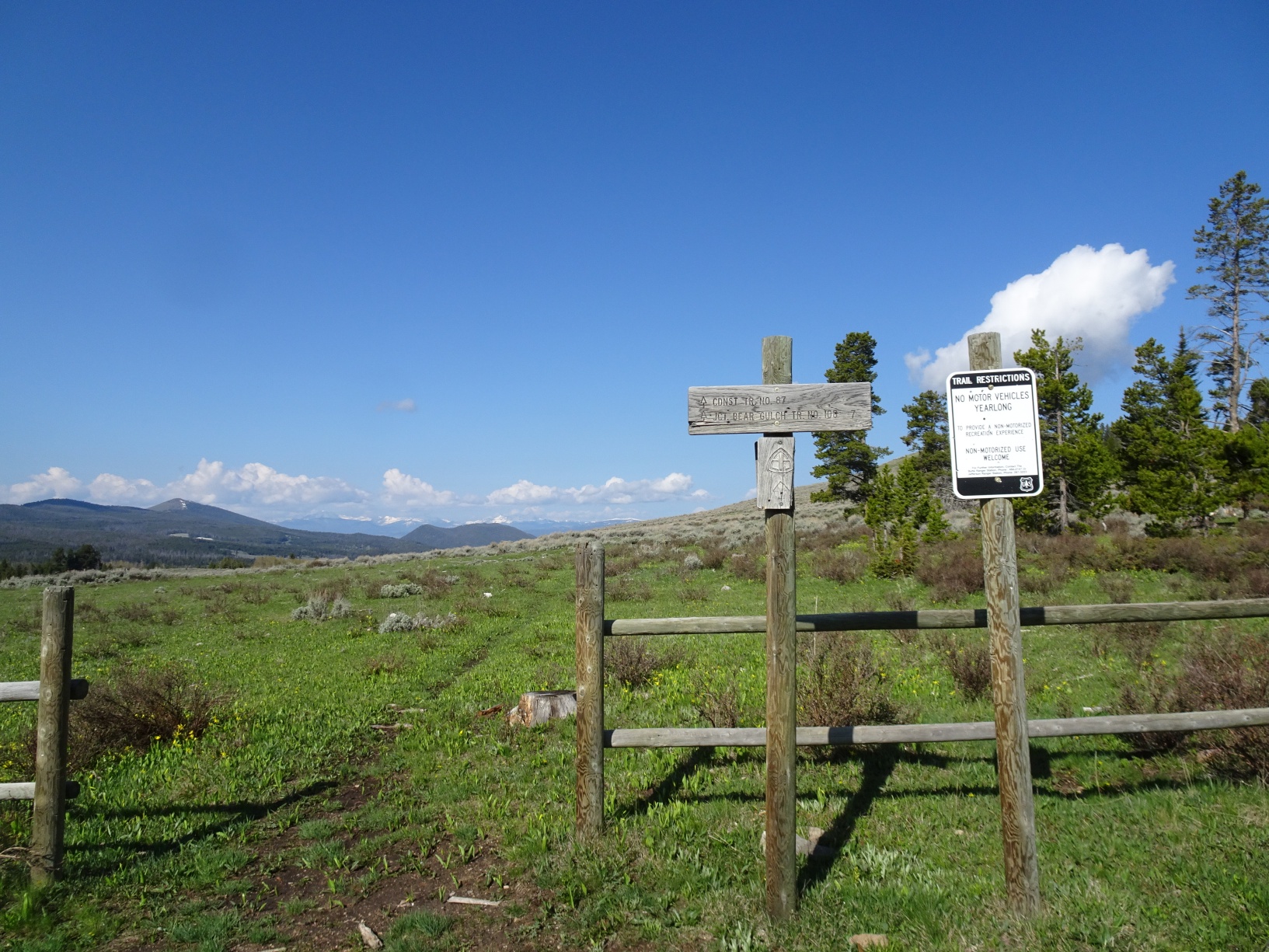
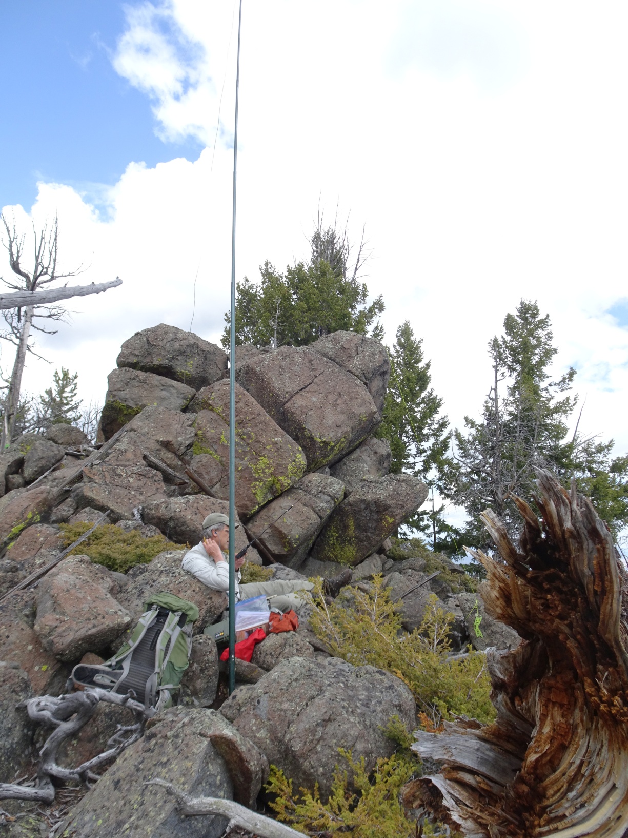
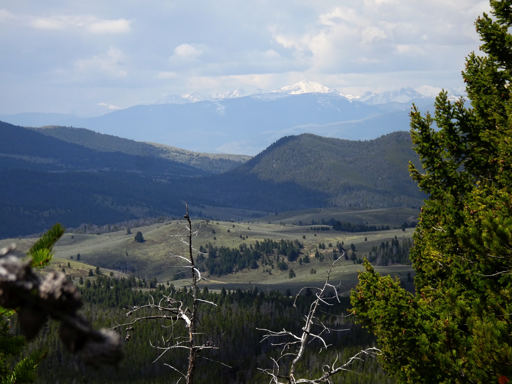
The hike to this summit includes approximately 1.5 miles of nice hiking along the CDT and about 0.5 miles of bushwacking through timber to reach the summit. The summit is located on the southwest edge of the Basin Creek Research Natural Area, which is also the drainage for much of Butte’s water supply. This area is closed to all public access. Take care during the hike to not cross the divide into this restricted area – it is not fenced. Note that the trailhead and trail differ from what is shown on the 7.5’ USGS map. The actual trailhead is about 0.4 miles southwest of the location shown on the map, the trail has been routed to avoid the restricted area, and it has been extended to allow access to points north via the CDT.
The trailhead is at a developed parking area (45.7332N, -112.6047W) on the north side of Highland Road. Highland Road is a good gravel road that cuts from Exit 111 on I-15 to the Pipestone Pass road and provides reliable access to this area.
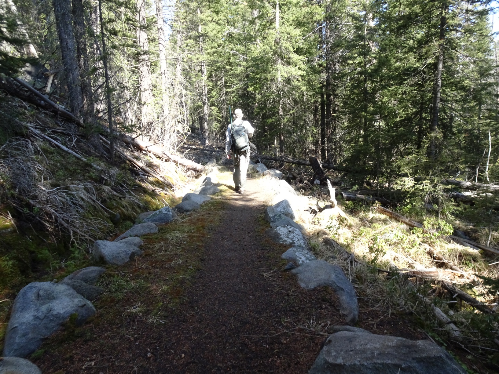
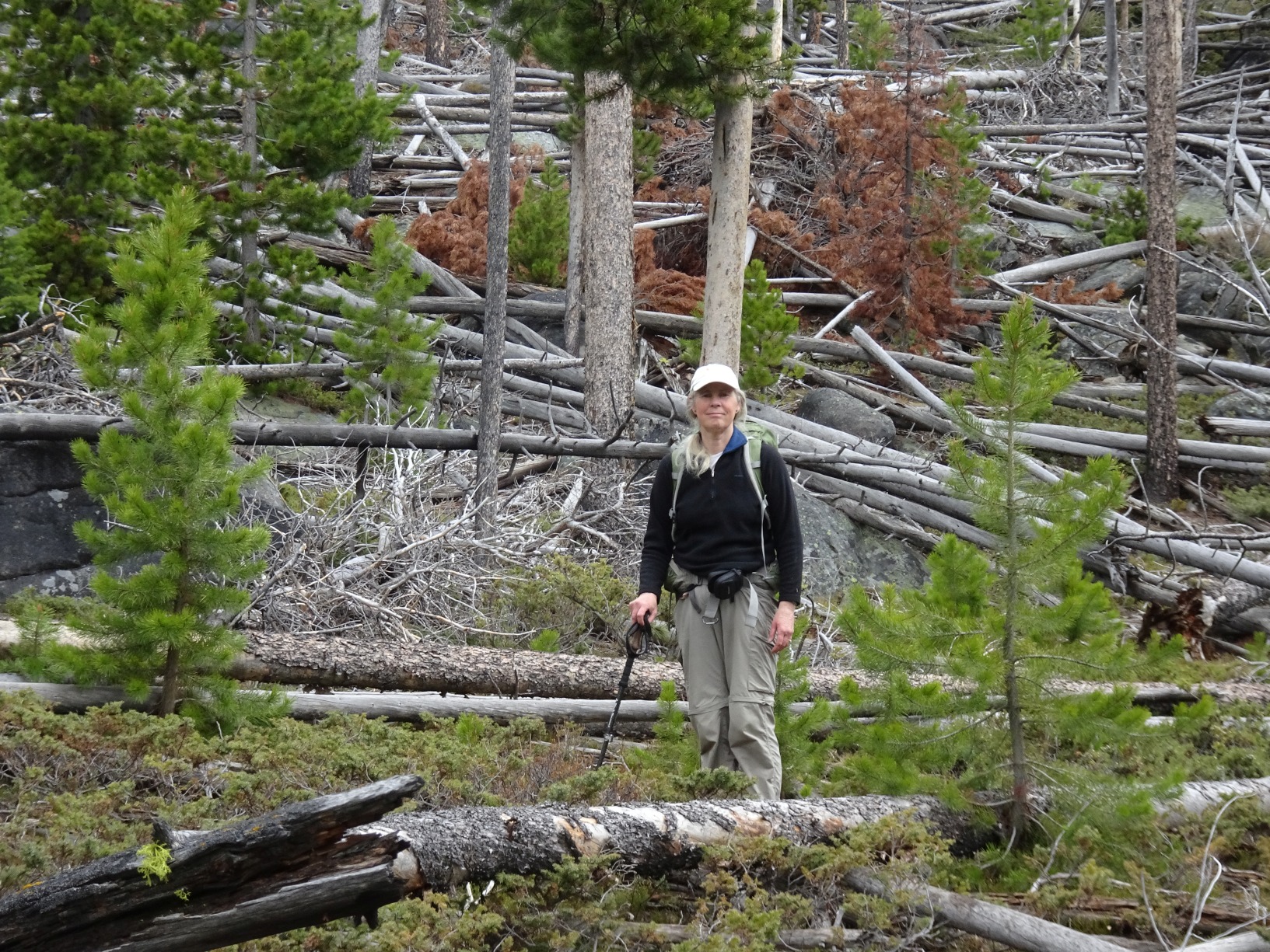
The trail departs from the west side of the parking area and climbs northwest along the edge of a large meadow to get over a high point before descending with a switchback or two into the thick timber. After the descent, continue northwest to an open meadow/swamp that that is crossed using a low “bridge”. After crossing the swamp, continue along the trail until it crosses a distinct drainage with a flowing stream that comes in from the right. Leave the trail here and follow the drainage up to just before the saddle that marks its terminus and climb directly up the steep hill to the summit. The bushwack includes some downed timber but doesn’t have any particular difficulties.