15.7-miles, +3,230 ft; -1,100 ft; From N. Fork Trailhead via Dry Fork
I activated this as the second summit on a multi-day backpacking trip. We camped at the mouth of Dwight Creek and climbed from there, but it is also possible to camp in the area of the Dry Fork – Flathead Divide.
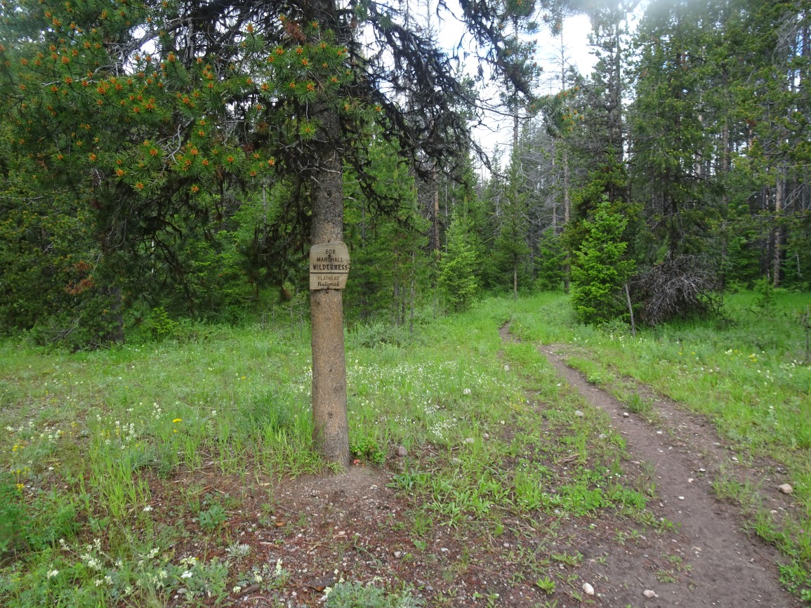
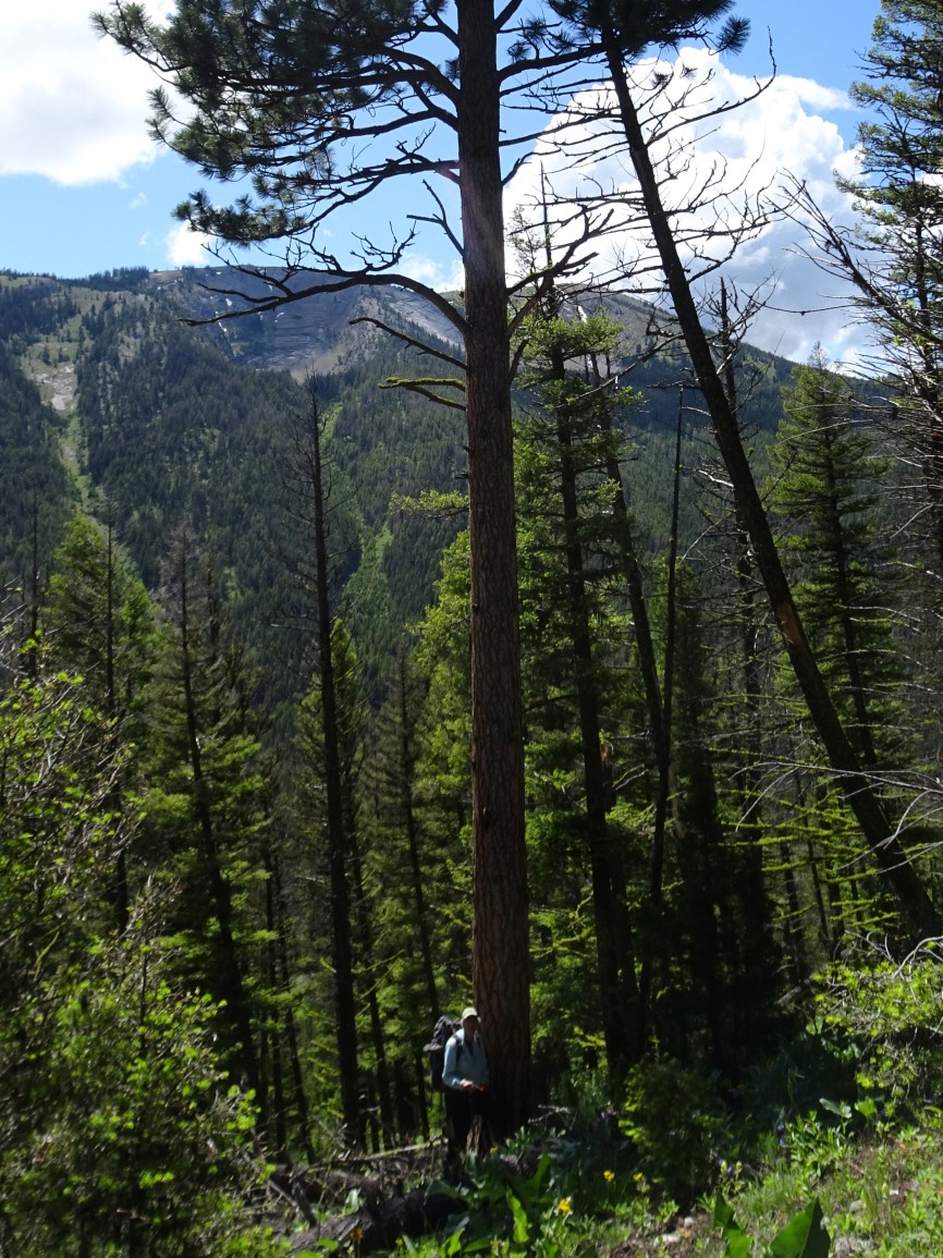
Hike north from the N. Fork Trailhead. We turned left (west) on Tr. 061 (Lake Creek Trail) after about 0.6 miles to combine this summit with Spread Mountain (W7M/GA-079), but it is more direct to continue up the North Fork of the Blackfoot, and then turn left (west) up the Dry Fork after reaching the North Fork Cabin. The trails up the North Fork and the Dry Fork are heavily used and get cleared early in the season.
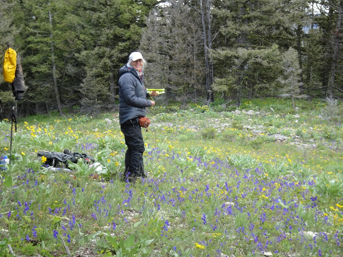
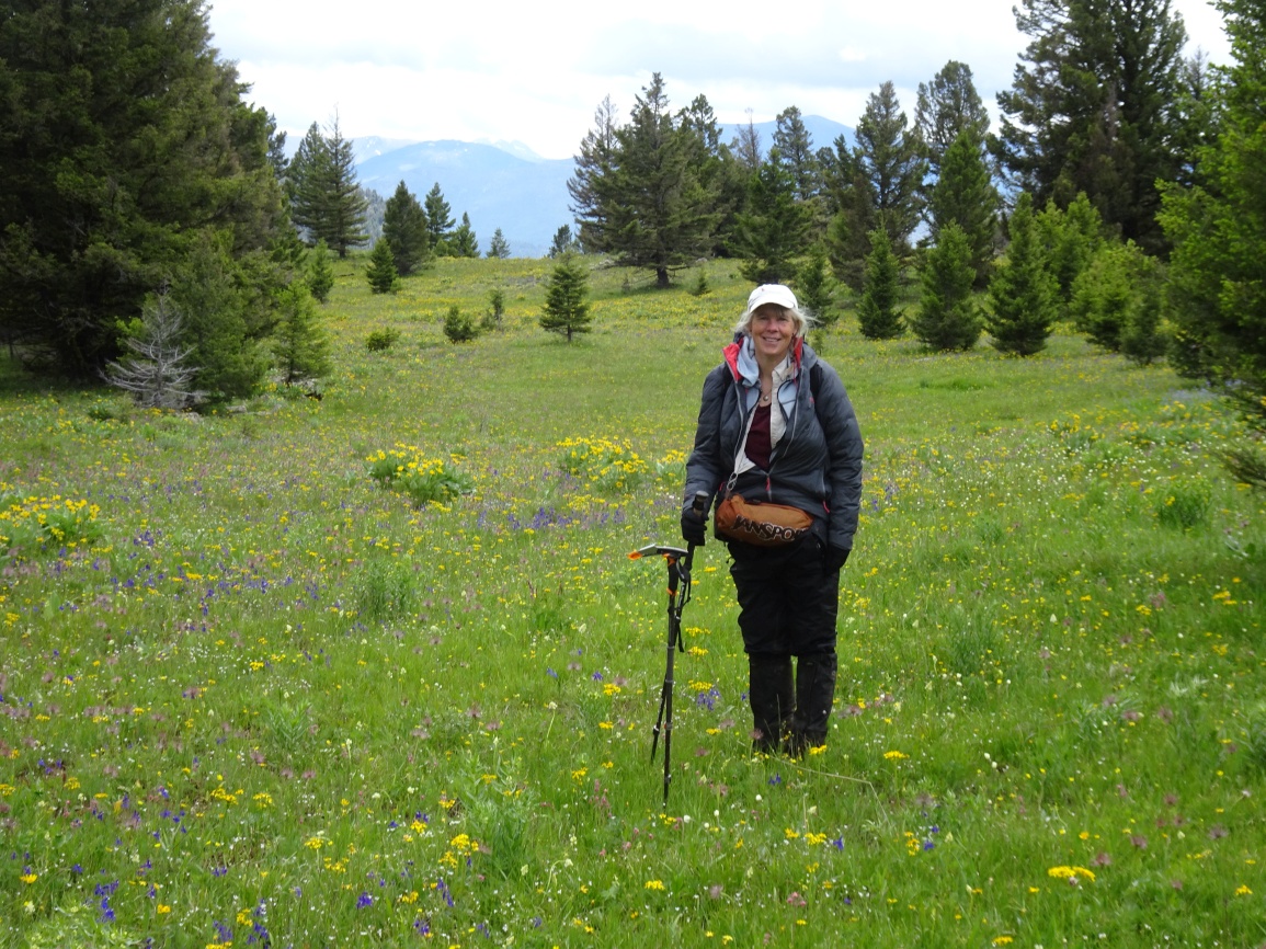
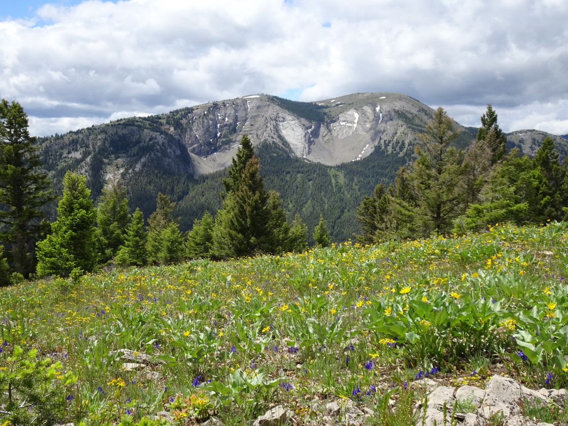
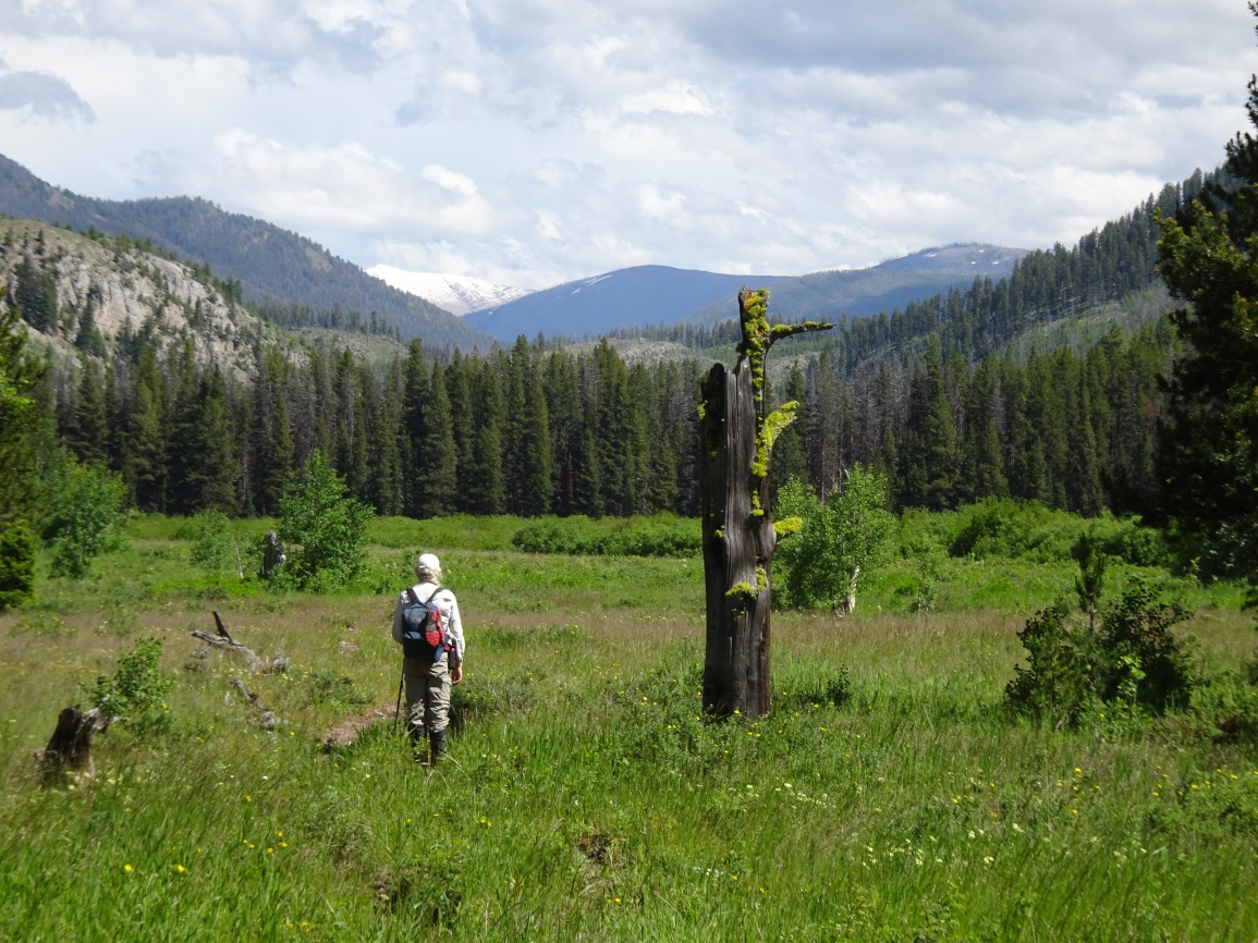
From the Dry Fork – Flathead Divide, walk a hundred yards or so north on the Dry Fork Trail, then make your way up the steep hillside to the southeast ridge of Concord Mountain. The hike is only about 1.3 miles and +1,600 feet through unburnt timber. The summit is a very pleasant sloping grassy meadow that is bespeckled with wildflowers and which offers various views of Flint Mountain, Evans Peak, and Danaher Mountain. This is Grizzly country and this summit had lots of bear sign - so stay bear-aware.