4.0 Miles, +2,500 ft, - 90 ft
These instructions are from the 4wd trailhead. Approximately 3 miles of distance and 1,000 feet of gain can be eliminated if you have an OHV that is less than 50-inches wide.
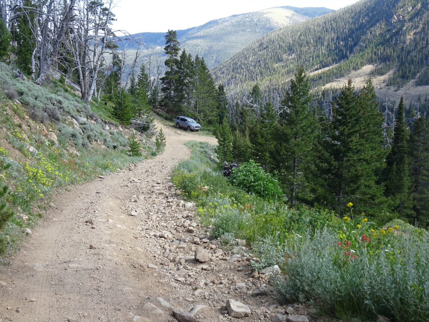
Take the gravel road that exits southeast from the east side of the town of Pony (Mile 0.0). Follow the signs to “South Willow Creek”, or “Potosi Campground”. Turn right at the major junction (Mile 3.1) and continue following the signs to South Willow Creek and Potosi Campground. Continue southwest up the road past Potosi Campground. Stay to the right (towards Granite Lake) at the turnoff for Bell Lake (Mile 11.3). While the road was suitable for most vehicles to this point, it becomes rougher at the Bell-Granite “Y”. 4wd and some clearance is advisable past this point. Watch closely for the steep turn-off to the right (Mile 12.7). This road (USFS 9605) definitely requires 4wd and low range but is suitable for all stock 4wd’s that have reasonable clearance. The road switchbacks steeply up the mountainside to a “T” (Mile 13.6). Although the road is passable for another mile or so, the USFS MVUM (Tobacco Root Mountains Motor Vehicle Use Map) does not permit full sized vehicles past this point. Note that there were no signs in 2022 to indicate trail junctions or use restrictions.
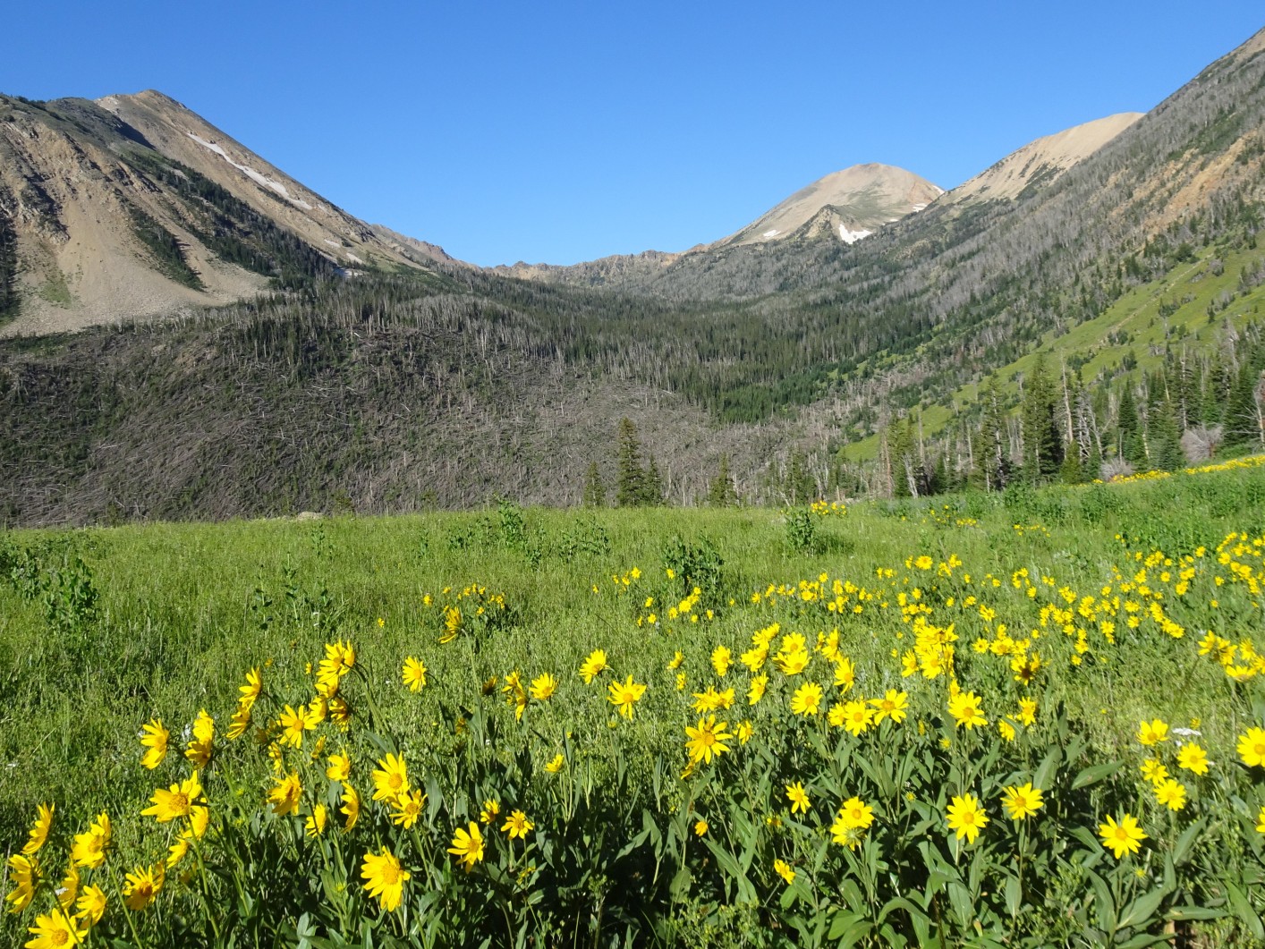
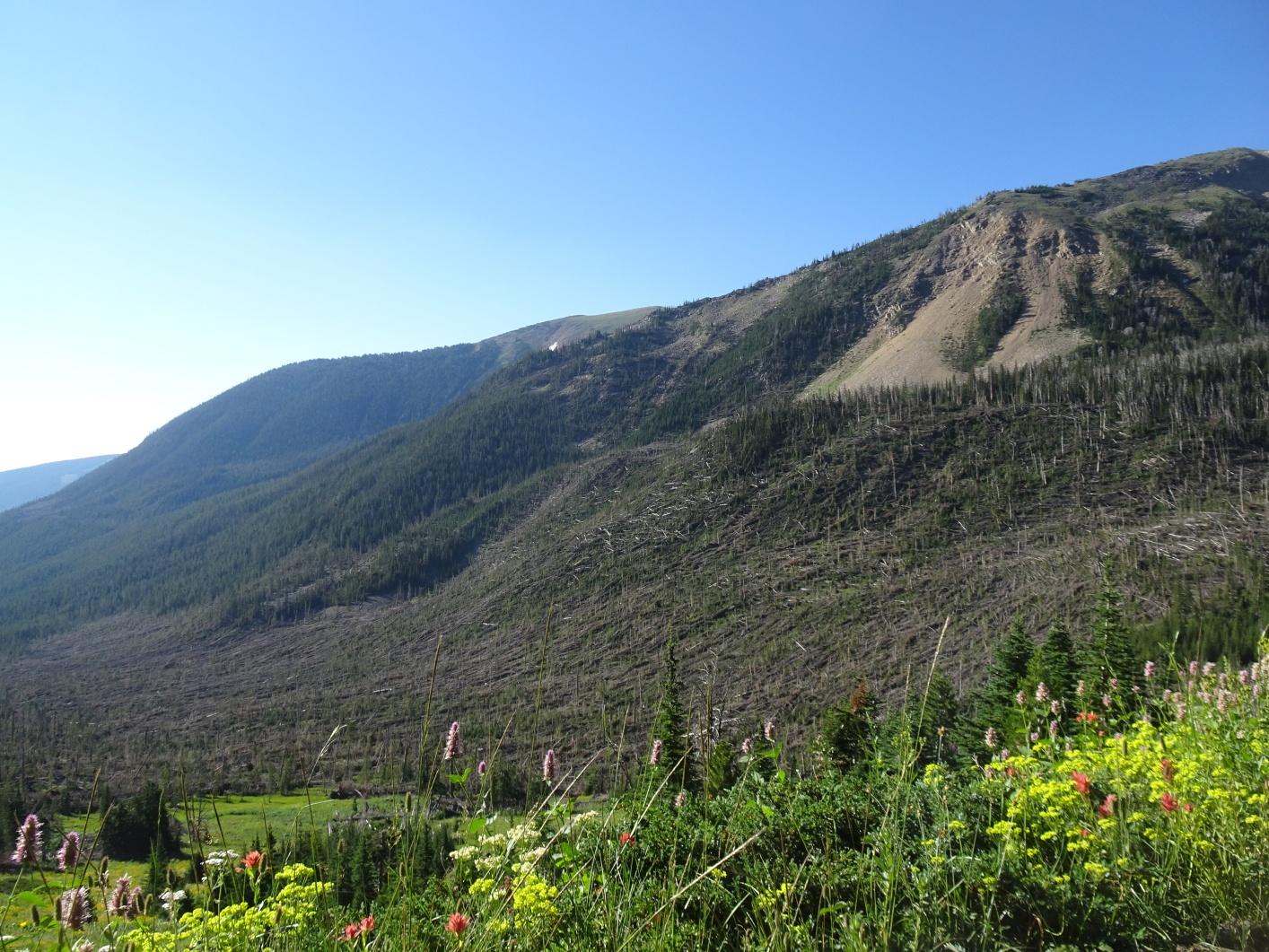
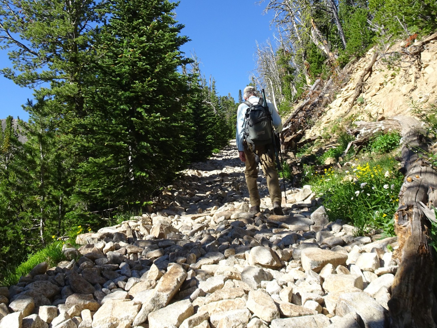
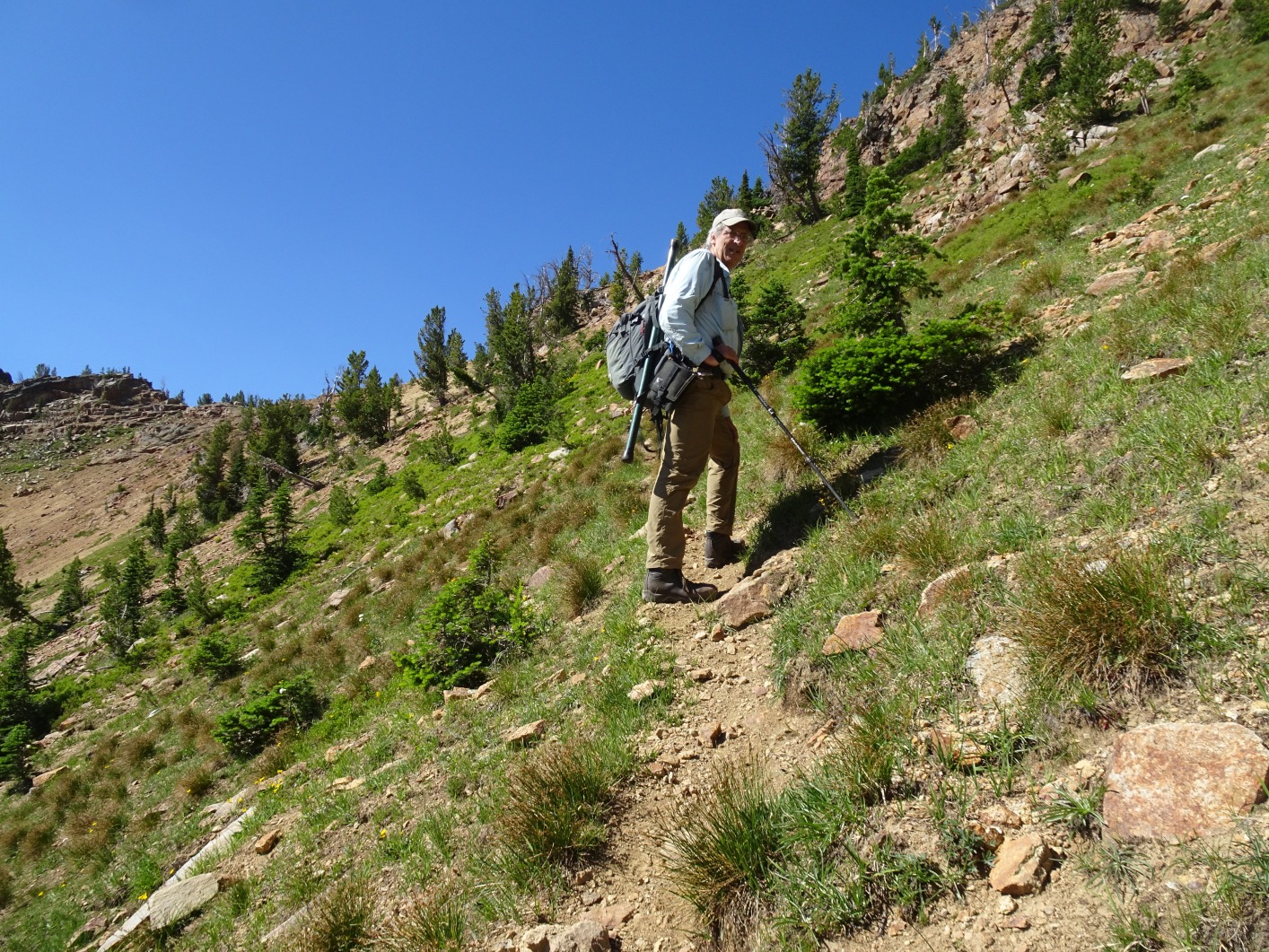
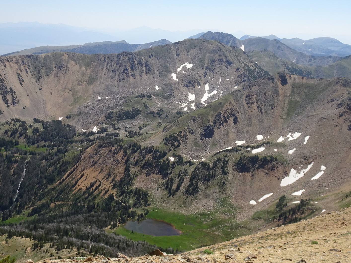
From the trailhead, follow the road to the west, staying left at the “Y” in the open meadow (Mile 0.4). Take note of Granite Peak further up the valley and the large blowdown in the valley to the south. The blowdown leveled 200 to 250 acres of trees during a 2-3 minute microburst in 2019, stranding several OHV users. Continue following the OHV road as it ascends towards Granite Lake staying to the right at any trail junctions until the “Y” near Granite Lake (Mile 2.8; Elevation 9,000 ft). Note that although both forks of this road are obviously used by OHV’s, the MVUM only permits OHV’s on the left fork to Granite Lake. Stay to the right at the Granite Lake “Y” and continue to the first switchback (Mile 3.25; Elevation 9,470). Leave the main road at this switchback and follow the old mining road for a short distance to the southwest watching closely for a faint game/foot trail that contours diagonally up the open slope. Follow the game/foot trail up to where it crosses the saddle on the south ridge of Granite Peak just south (left) of a rock promontory on the ridge crest. Upon reaching the ridge crest, scramble directly over the top of the rock promontory and on to the summit.