UPDATE: See uploaded track "better track" on sotamaps for best route I have found so far.
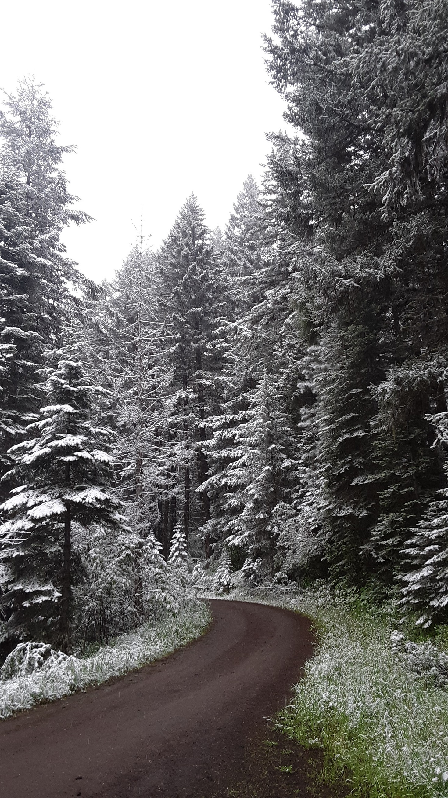
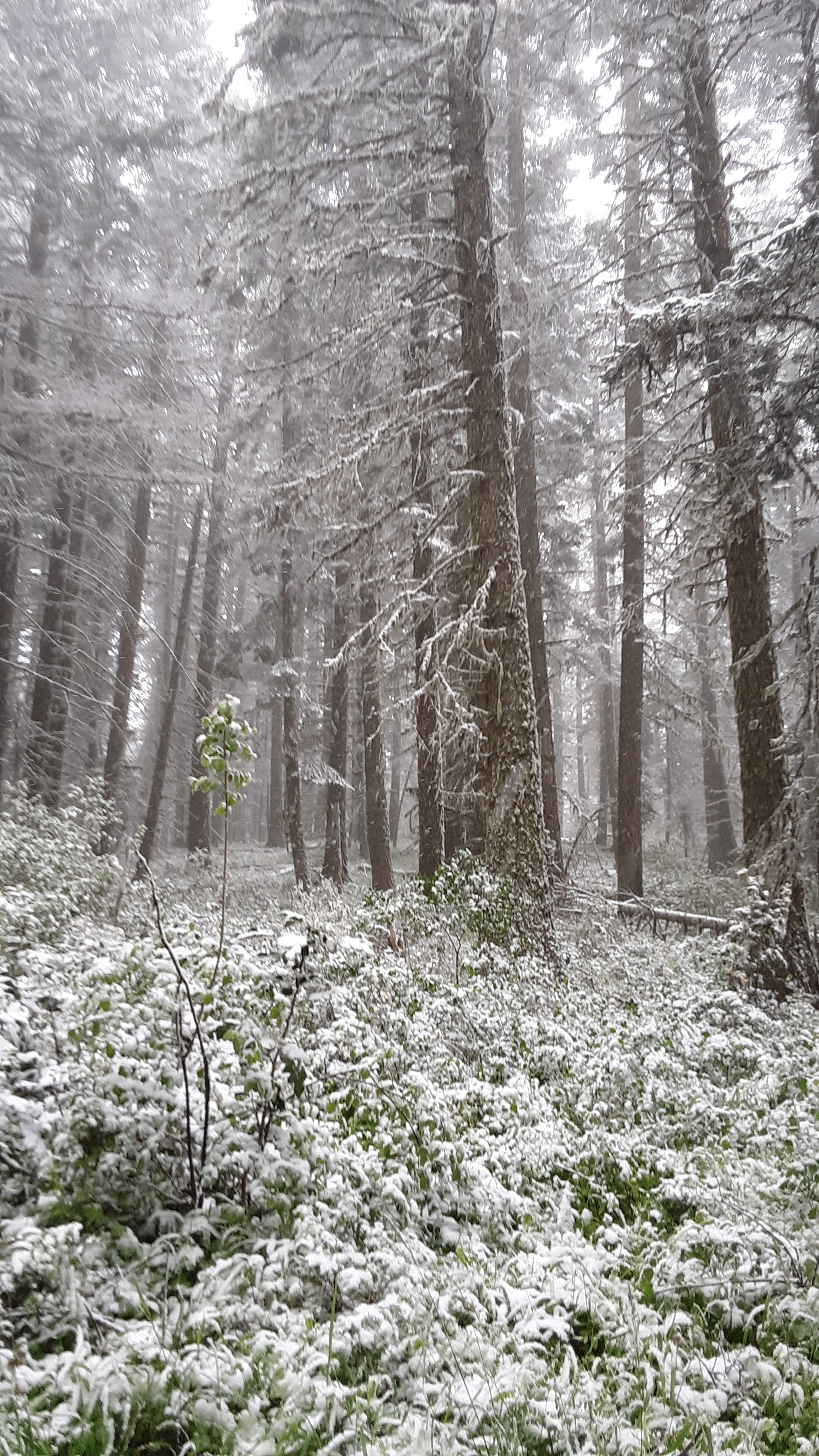
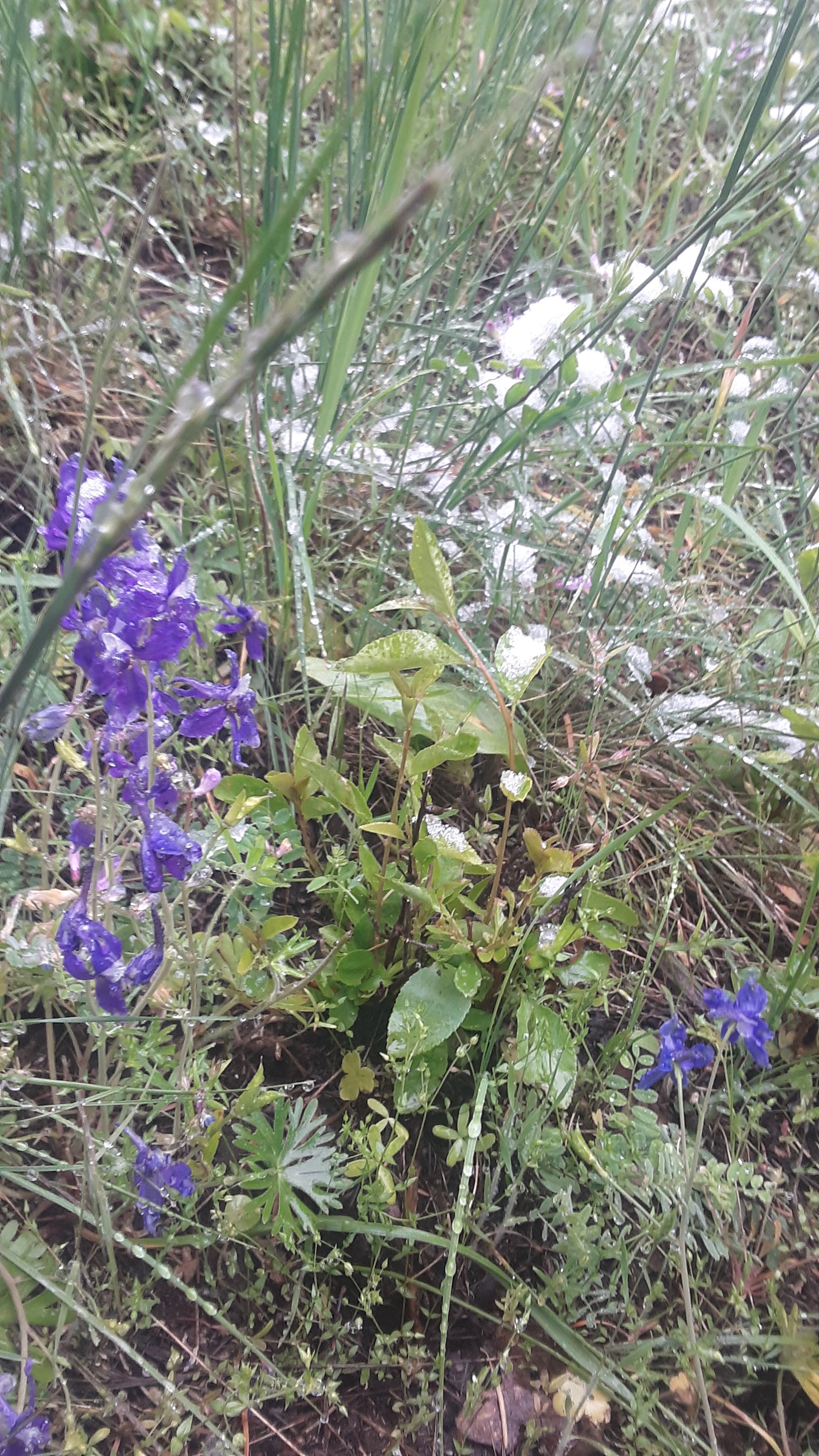
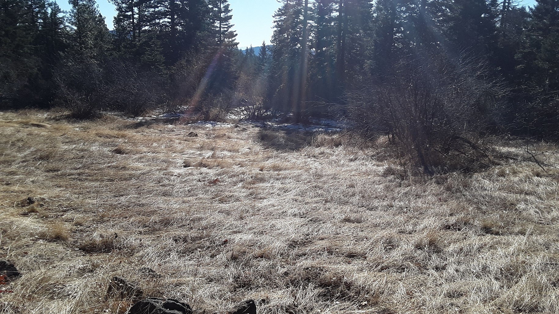
I went back up to Green Springs Mt for winter bonus since our snow levels are still high. When I first did it in June, I was in a freak snow storm and there was more snow and it was colder and wetter-but flowers! This trip I found a better path than the first. If you look at a satellite image you can see a bare patch at the southern edge of the summit. There is a somewhat clear path or old road from the main road up to the grassy area still in AZ, you can sort of see it on a map on the east side of the mountain. The mountain was clear enough on the east side I did not follow the old road all the way. Pleasant half mile hike up. When I went in June, I came up the northern side and it was very brushy. No real view but a nice peaceful area with plenty of room to set up. Consider doing Soda Mountain or Chinquapin while up there. Both times I have gone I have done a second summit.
Take Hwy 66 to the summit and turn on Little Hyatt Prairie Rd and follow signs for Greens Springs Mtn Loop Trail which circles the base of the mountain and is also part of the PCT. I parked beside the road almost directly NE of the summit.
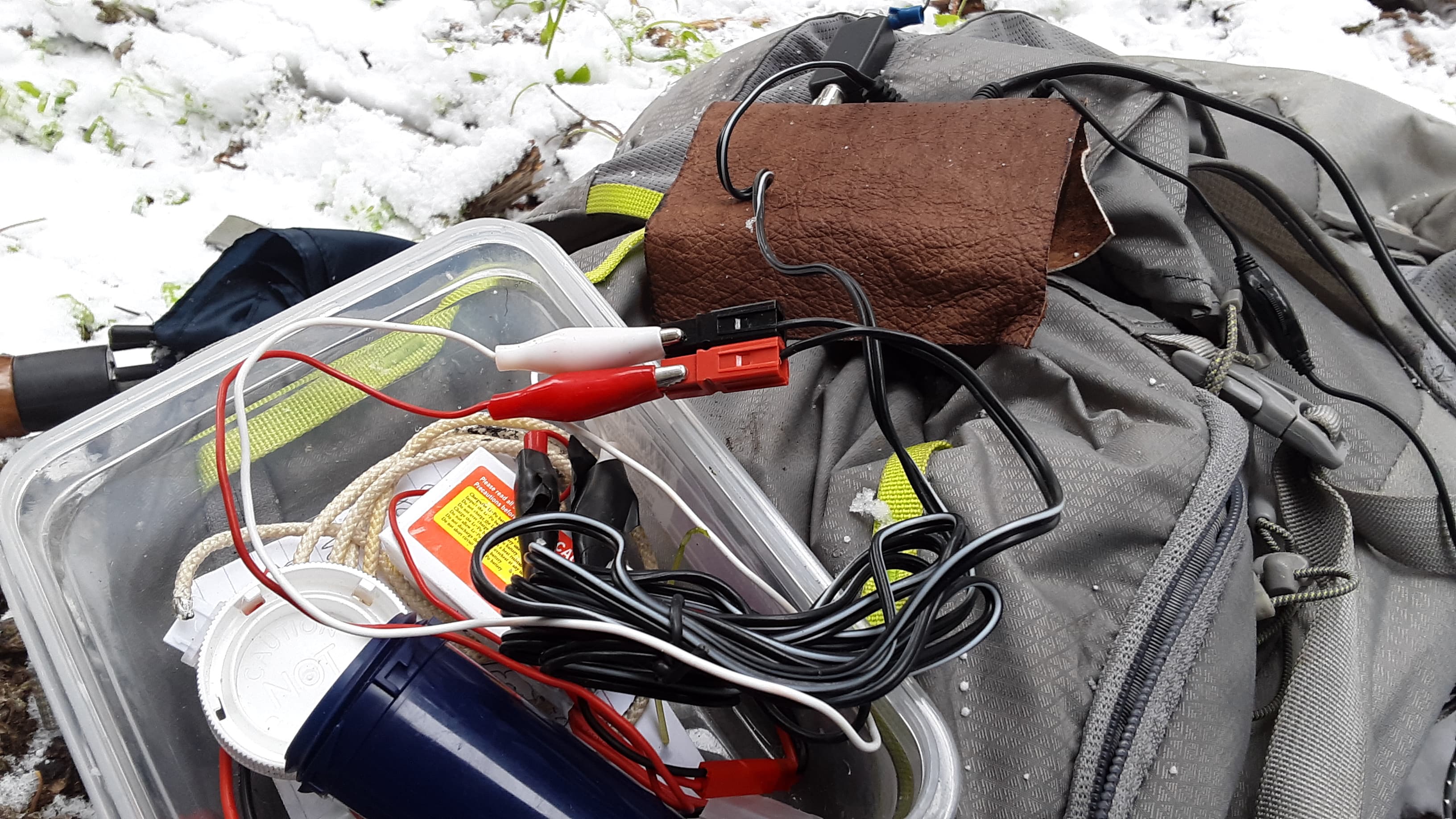
Pics are mostly from June. Dec there was little snow on summit, just on road. I had a power connection failure my first trip, luckily had some clips.
de AG7GP