Most everyone who has driven to or from southern Oregon has driven over the Sexton summit, one of the main monitored passes during the winter. I never paid attention to the actual mountain until now. It was a nice day drive from my home QTH and we hit one additional summit on the drive back. Unfortunately it was really foggy so there was no view but I think on a clear day it would be nice.
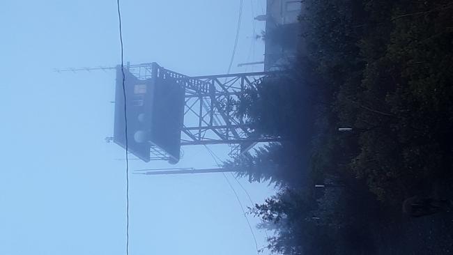
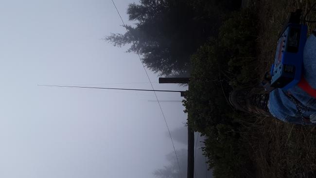
There is A LOT of equipment and structures on the summit, including a lookout and the old original lookout, and some interesting things like a big wooden water tank. Many buildings and radio equipment in a looped driveway that also goes around some protected plant area. It was a little difficult to find a good place to set up. I tied my pole to a post for the fence surrounding the protected area. I could not reach anyone on 2m FM and have a feeling it was the equipment, as my HT started talking out of the blue once I dropped below the AZ leaving. On HF there was definite rfi but I still had a good activation with plenty of qsos.
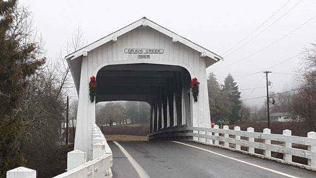
This was about a 20min detour off of I-5 at Sunny Valley. I am told you must take the access route off at exit 71. If you try what looks to be other access routes you will hit private property. Going north, take exit 71, turn left towards the Graves Creek Covered Bridge (I recommend stopping and reading the history of the bridge and Graves Creek, quite interesting), right on Placer Rd, right on Beecher Rd (BLM 34-6-12). You will take the BLM road up a dirt road until just below the gate. The walk was just under 1 mile up.
I do not know why the pics below load sideways, if you click on them they turn
de AG7GP


