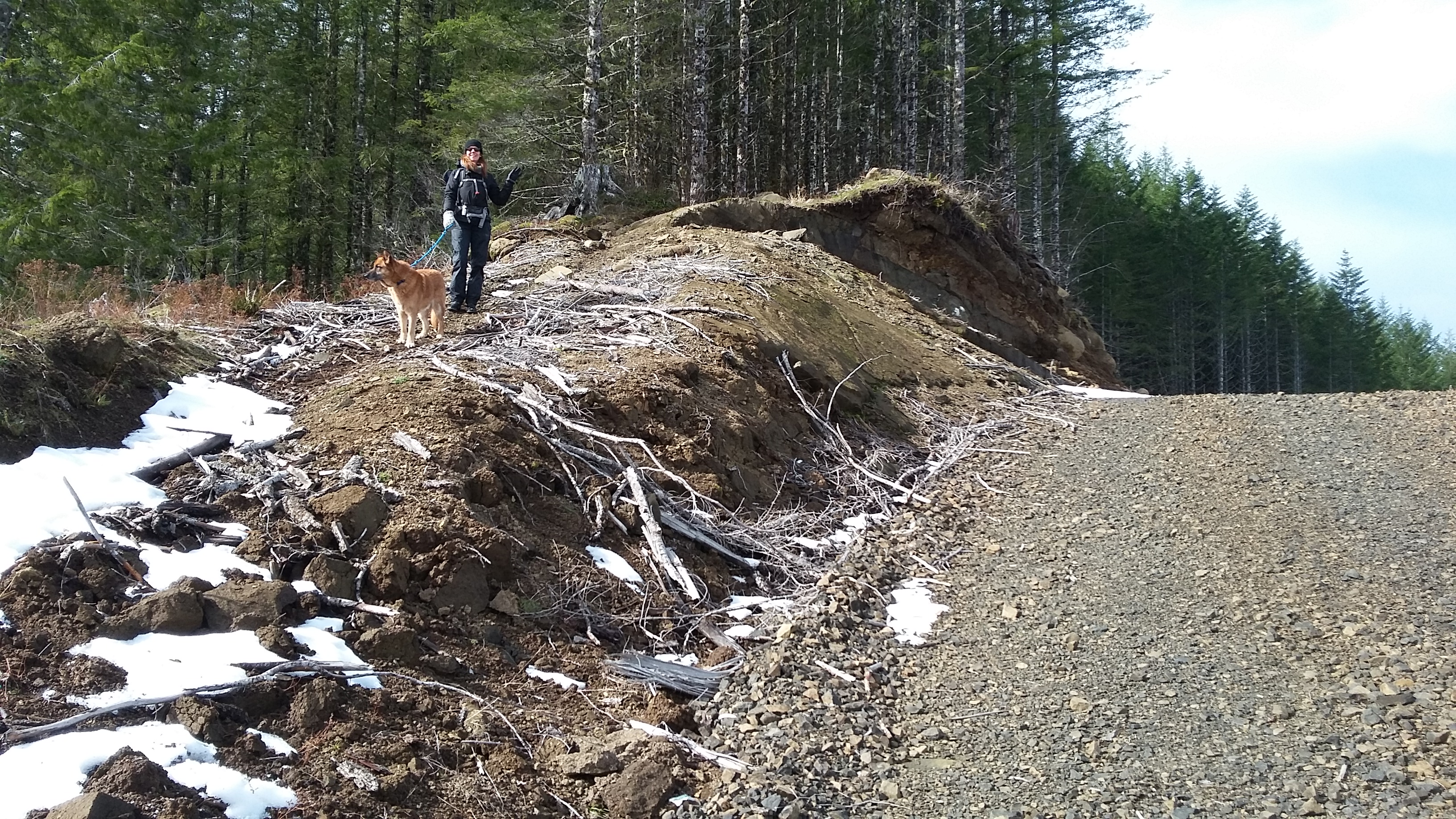
A one point summit that you might want to do along with close by Cedar Butte, Triangulation Point, Blue Ridge or Peak 2300. A short steep hike (several hundred feet in 0.2 miles or so) up a motorbike track will lead you to the top of the summit ridge. The roads should be passable in a passenger car.
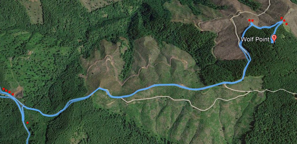
Head west from Portland on Highway 26 and exit to Highway 6 towards Tillamook. About four miles past the Tillamook Forestry Center and just past milepost 18 you'll turn north onto Cedar Butte Road. There are good signs from here for the Cedar Butte Trailhead that will lead you in the right direction toward Cedar Butte (four dots on map is where road continues towards Cedar Butte) as well as the turn for Wolf Point (one red dot on map).
Just after mile 5 (big yellow sign) bear right uphill at a large triangular intersection (one red dot on map). You'll take the ridge road another 1.5 miles. We parked at the large parking area (two dots) and walked up a snow covered road to a switchback to a motorbike trail (three dots). You may be able to drive closer to the motorbike trail in better weather.
Wolf Point is also describe here by K7EEX: http://www.pnwsota.org/blog/k7eex/2018-january-13/wolf-point-oregon.
Besides fair to poor Verizon coverage, there was some very spotty text coverage from T-Mobile at the summit.