UPDATE MARCH 2023 - W7O/NC-037 has been retired. Please refer to the replacement W7O/NC-129.
Ten miles from Tillamook and off Highway 6 there is a near drive-up summit – Blue Ridge. The road is a bit rough in places but should be okay in a carefully driven passenger vehicle. Don’t confuse this Blue Ridge with W7O/SC-202 Blue Ridge near Coos Bay. The hike is short but steep 0.2 miles.
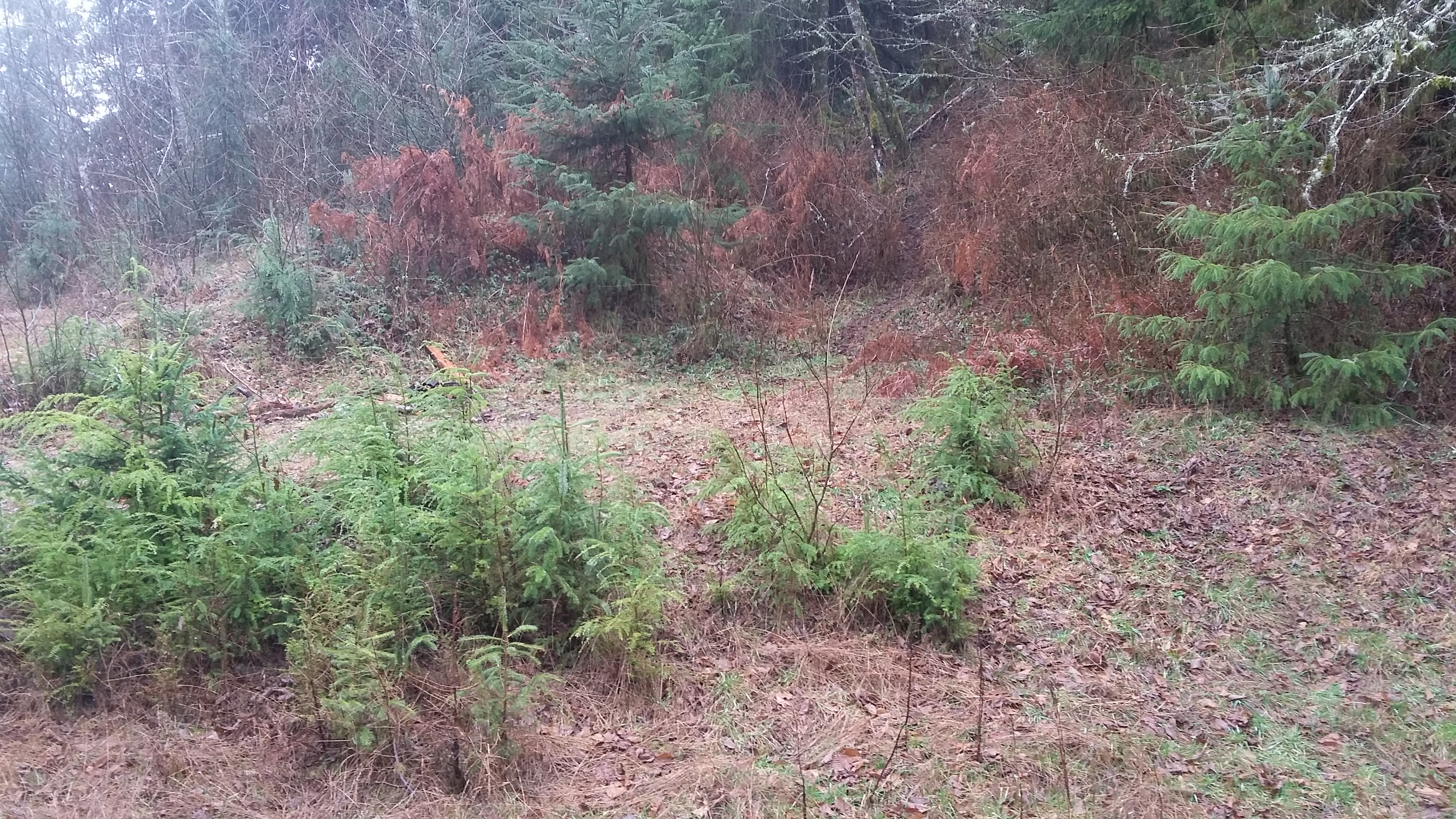
Turn south from Highway 6 onto Kansas Creek Road. Proceed along the creek for about 0.6 miles and turn uphill onto Blue Ridge Road. Continue up Blue Ridge Road 2.7 miles to a wide spot on the right and a camp site. Here you will park and continue on foot about 0.2 miles to the summit. In back of the camp site a rough trail starts upwards to the summit continuing in open coastal forest. (The photo below is of the camp site - the parking area is out of the frame to the left - the 'trail' is barely discernable in the center of the photo.) You will be wise to have tracks going on your GPS or otherwise mark the location of your vehicle as going back down, the ‘trail’ will not be so obvious. We set up in dense forest under a tarp in the continuous rain and worked HF until the peak was qualified. There’s little 2m FM activity on the coast and we reached no one on 146.52 simplex.
There was spotty but occasionally usable T-Mobile service and AT&T was a little better. APRS spotting should work well from this summit. You might consider activating nearby Peak 2300, W7O/NC-099 when doing Blue Ridge.