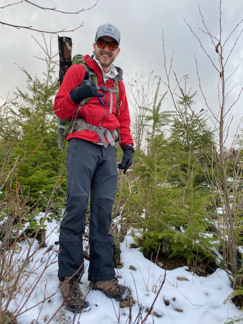
After a bit of a hiatus, K7IAJ and I made a quick trip up highwire this afternoon. We wanted to make a quick trip up something that would be an easy objective. We originally chose Haystack Moutanin, but access was restricted, and the permitting wasn't clear: permits were listed as unavailable on the website/sold out, and they would be sold in April.
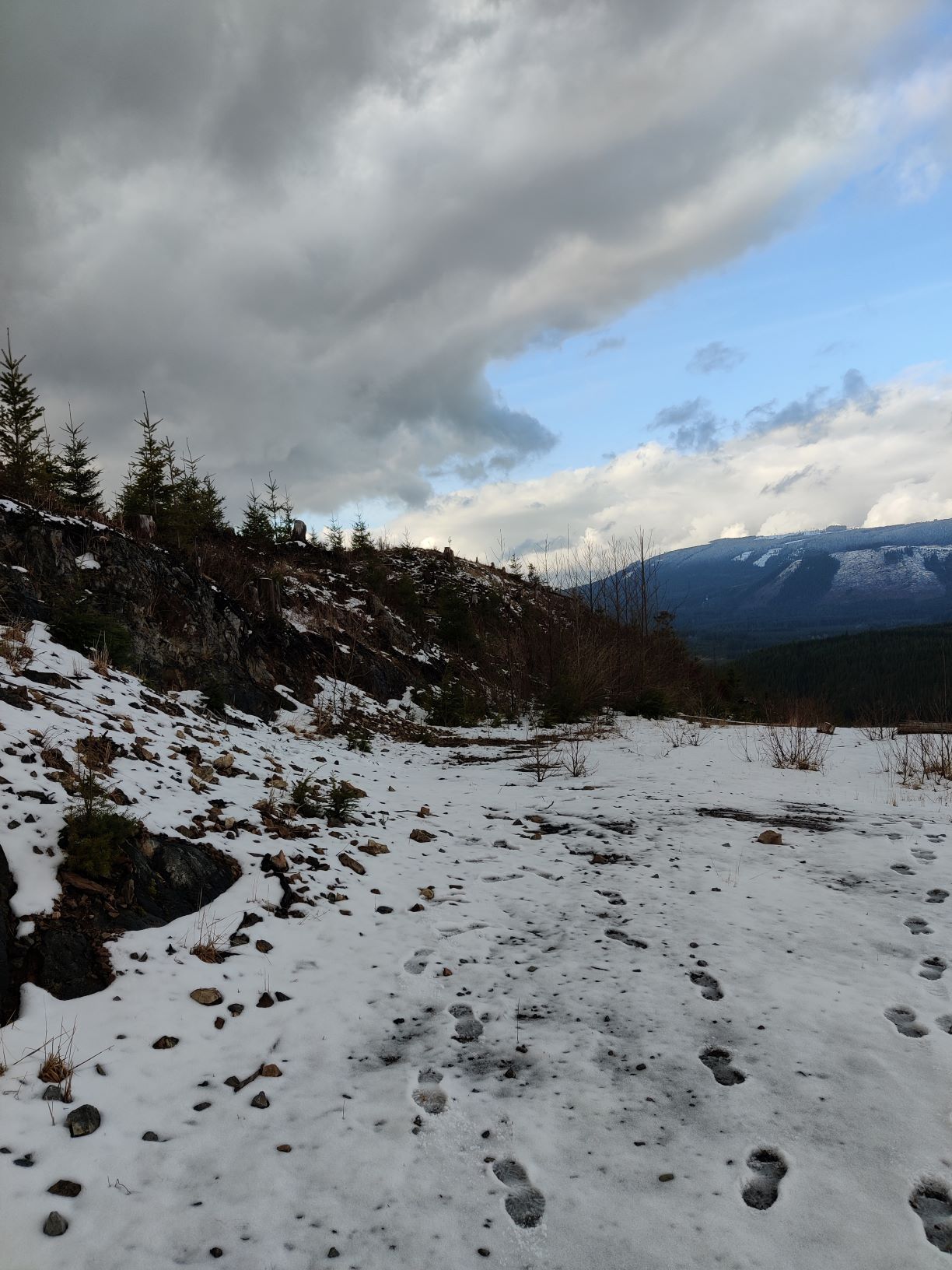
Access was easy, we parked right in front of the gate at the end of the road. The entire trail is gravel, but there are multiple branches in the trail that seem like they would lead to the summit. The confusing part is the correct path is sometimes back downhill, even when there's a branch straight uphill, so be sure to have a GPS you can refer to on occasion. Except for one instance, the correct path is to hold straight and not make any turns.
The summit is pretty clear, but is a bit of a bushwack to the left of the road to get up to, but the road is in the activation zome. I recommend visiting the summit and filling out the summit register, though. On the summit, there are some really tall trees, you could probably get a useable 80m vertical wire up, if you're able to throw a line accurate and high enough.
This was my first CW activation, which was exciting, but not without some hiccups. Thanks everyone who was patient, and gave their call multiple times, even when it was perfectly readable.
GPS Track: https://connect.garmin.com/modern/activity/6345683855