I had been eyeing this unactivated two point peak for several weeks. When we saw the weather forecast looking unusually good, the little sherpa and I made a plan to catch the summit on the weekend. A couple of days before the Saturday, she suddenly found herself torn betwingst a summit with me or hanging out with her BFF. Shortly after the sad news was delivered to me that I had come in second place in the popularity contest, Roland/K7FOP sent me an email inquiring if he could tag along. But of course he could!
We left Forest Grove with crystal clear skies and temperatures in the mid-20’s. Icy roads made the drive on Highway 6 slow, but once we hit gravel, the hairiness of the drive eased.
The path to Peak 3594 is convoluted to say the least. For the most part, your journey is on the arterial logging roads of Storey Burn Road and Standard Grade Road through Tillamook State Forest. To start your trip from the Wilson River Highway (Oregon Highway 6) here are the key waypoints:
Turn off onto Storey Burn at 45.6232 -123.3762
Stay right on Storey Burn at 45.6339 -123.3895
Left at 45.6688 -123.4039
Left onto Standard Grade Road at 45.6632 -123.4195
Right at 45.6641 -123.4328
Left at 45.6642 -123.4369
Left at the major intersection at 45.6669 -123.4826
Right at 45.6603 -123.4795
Right at 45.6570 -123.4826
The parking area is at 45.6511 -123.4779
If you have a high clearance, four wheel drive vehicle, you can continue up the hill to the right. Be aware that there are very deep water bars cut into the road and the grade is startlingly steep.
From the parking area, it is roughly one mile up the rough cut logging road to the base of the summit. According to our GPSs, the road is still about 100’ short of the high point so a scramble up the clearcut is required to reach the activation zone. That said, the best views and operating position come from right on top of the summit so it is well worth the extra little effort to go all the way.
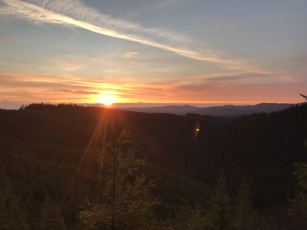
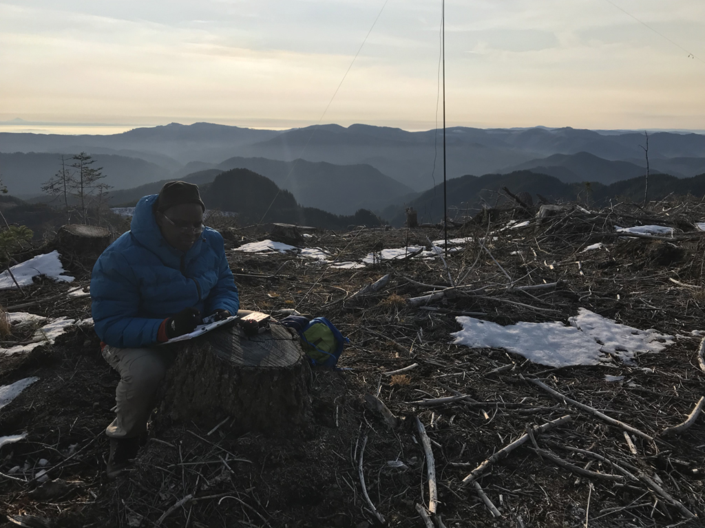
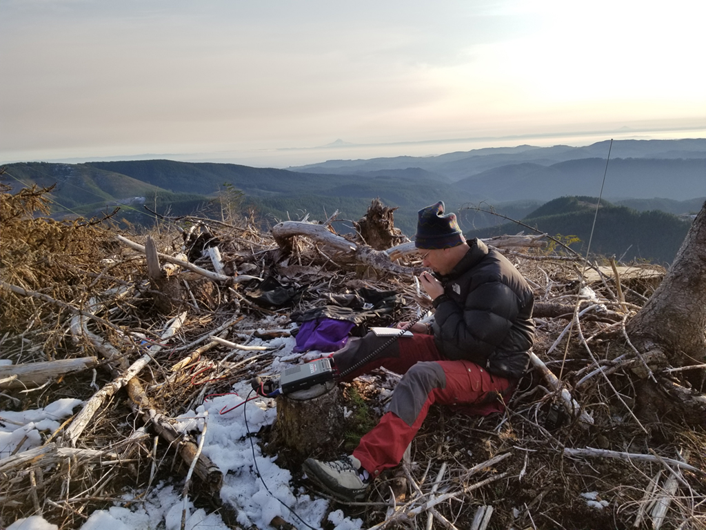
For us, the final approach hike on the logging road was covered with four inches of snow. But on arriving at the open summit, most of the snow had melted. The skies were amazingly clear and the peaks of the Cascades shown like beacons on the horizon. We setup our operating positions about 50 yards from each other and got to work.
Unfortunately, we found the propagation situation deplorable. We had trouble getting out self spots, and the bands were almost dead. In the first hour we were on the summit, the few contacts that we were able to make were tough and plagued with heavy QSB. Eventually band conditions started to improve on 20m and Roland worked his way through an impressively large CW pileup. I worked a few people on 20m-SSB and logged a number of 2m FM Summit to Summit contacts with all the other folks working activations. With real life calling for us back in civilization we packed up our stuff and made our way back down the hill.
This isn’t a simple peak to activate, but it stands out as one of my favorites in my short SOTA career. It was an unbelievably wonderful weather day. Amplifying this was getting the opportunity to work the activation with a truly delightful guy. Peak 3594, I’ll be seeing you again.