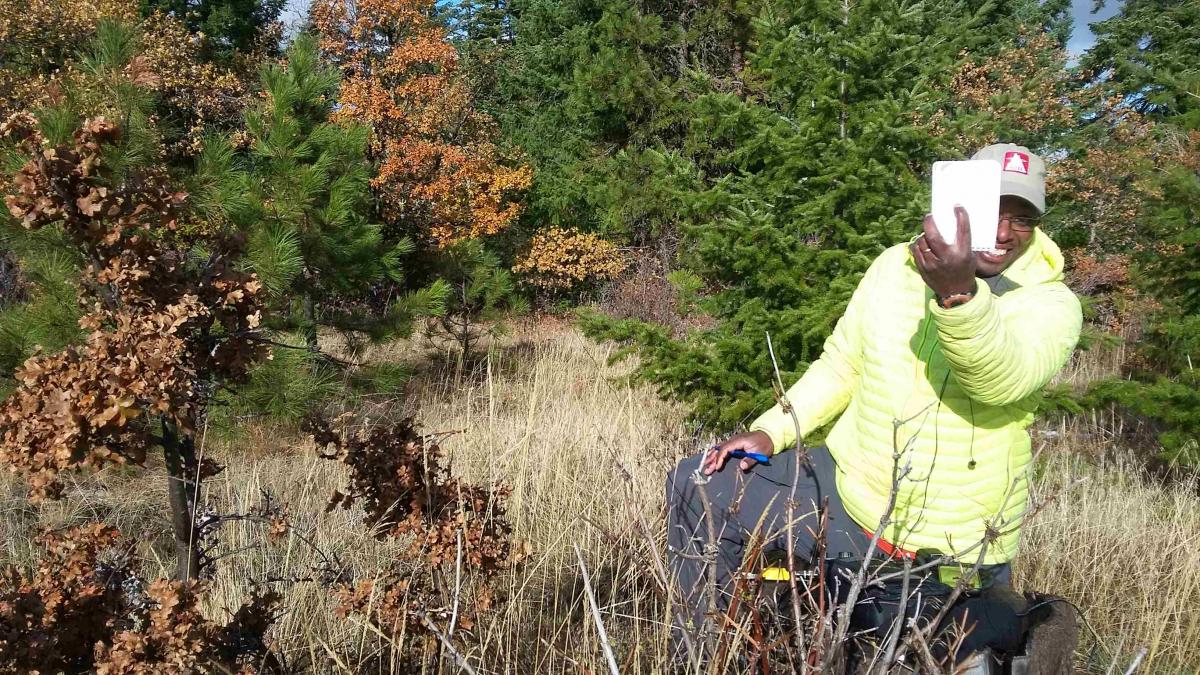
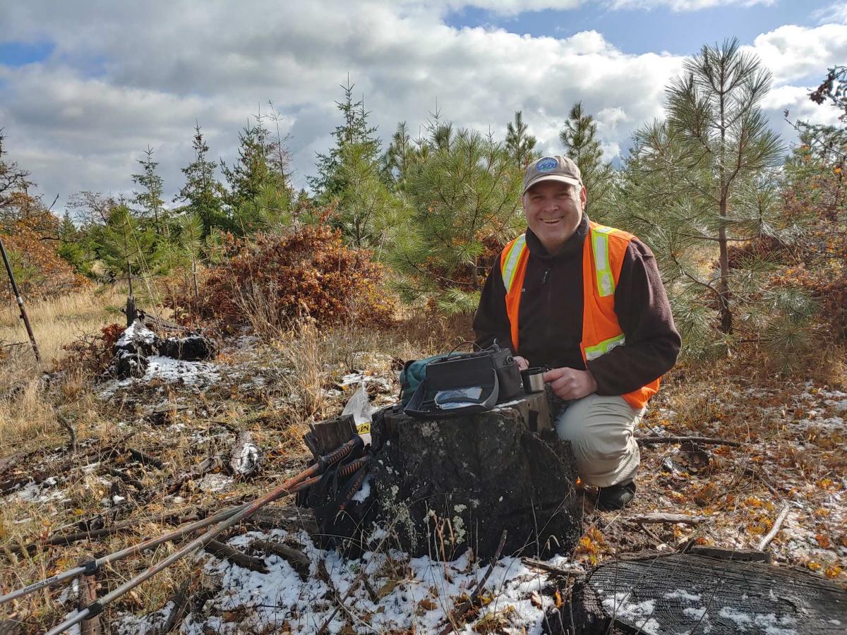
Lakeside Ridge is an easy to get to summit with a nice hike of about 1.5 miles one way on a dirt road. It offers plenty of space and plenty of small trees to lean a mast against or string an antenna on. It's a pretty nice place for an activation. We had some pretty nice weather, the sounds of cows nearby and good DX. I was able to log New Zealand and France.
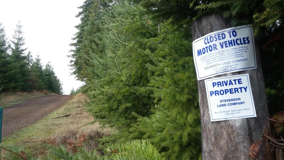
Getting there should be straight forward for you using our directions. We tried a couple of ways to get to the summit until we found one that worked. Our first try, we came to a gate with No Trespassing signs (off Bertschi Rd.) the second way took us on a hike that led us to sort of a deadend. But during that hike we did find the road that we would eventually drive on to get us to the correct starting point for our hike.
Take Washington Highway 141 Alt to BZ Corner and turn east on BZ-Glenwood Highway.Continue east on BZ-Glenwood about 14.6 miles to a right turn on Lakeside Road.Go about 1 mile east on Lakeside Road, then turn right onto the Fisher Hill Wye that turns into Fisher Hill Road and go 1.7 miles to a gated road near 45.9385° -121.2603°. Hike directly to the summit on the main logging road about 1.5 miles. Having a GPS will help you know when you're at the summit.
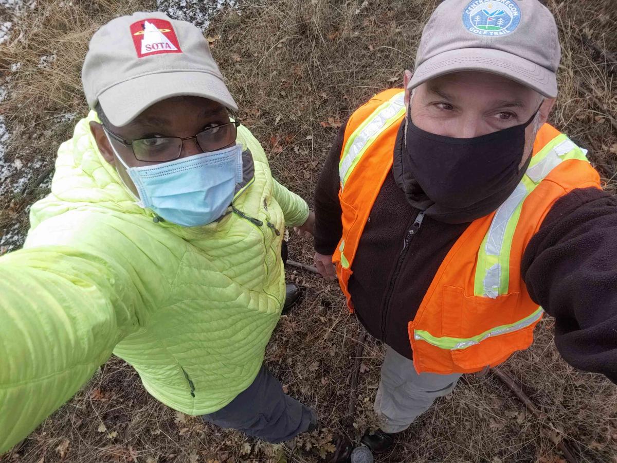
I tried spotting using SMS. It did not go through. I only tried once. I just let RBN spot me. My phone was showing a few bars. I have Sprint. Etienne uses T-Mobile and he had no problem using his phones data.